GPX map posters
Turn a GPX file into a map poster.
Every watch, bike computer, and trail app can export the route you recorded as a GPX file. Upload a GPX, GeoJSON or KML file up to 5 MB and RadMaps draws that exact track on real terrain as a poster you can style, print, and frame.
Free to design · Pay only if you print · Ships within the U.S.
How it works
One route in. A wall-worthy map out.
01
Export the file
Download the activity or route as GPX from your device’s app or website; where to find it is listed below.
02
Upload it
Drop the file into RadMaps. The route, distance, and elevation gain are read from the track and previewed on the map.
03
Design and order
Pick a map style, adjust the route, terrain, colors, and text, then choose a size and material.
Where to find your GPX
Exporting from the apps people actually use.
- Garmin Connect: open the activity on the web, choose the gear menu, then Export to GPX.
- Wahoo: share the workout from the ELEMNT app, or download it from a connected platform such as Strava or Ride with GPS.
- COROS: open the activity in the COROS app or Training Hub and export it as a GPX file.
- Suunto: export the activity from the Suunto app, or sync it to another platform and download the GPX there.
- Komoot, AllTrails, Gaia GPS, Ride with GPS: each can download a recorded activity or a planned route as GPX from the tour or route page.
- Apple Watch: workouts sync to apps such as Strava, which can export GPX; or connect Strava in RadMaps directly.
Recorded or planned
Any line you can export can become a poster.
A GPX file does not have to be something you already did. A planned route from Komoot or Ride with GPS makes a great poster for a trip you are training for, a bucket-list trail, or a gift for someone about to start a long hike.
If you only have a device-specific file, such as a Garmin FIT file, open the activity in its app or in Strava and export GPX from there. KML from Google Earth and GeoJSON from mapping tools also work.
Why it prints well
Real map data, rendered for the exact print.
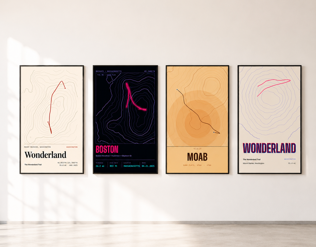
RadMaps renders the final poster for the specific size and material you order, so a large print is not a stretched screenshot. Styles range from clean minimalist lines to topographic hillshade with contour lines, and the composition you approve in the editor is the one that gets printed.
Questions
GPX Map Posters FAQ
Which file types can I upload?
GPX, GeoJSON, and KML route files up to 5 MB. FIT and TCX files need to be exported as GPX first.
My GPX file is too large. What can I do?
A 5 MB GPX already holds more than 100,000 track points. Export a single activity instead of a whole trip archive, or lower the recording density in your app’s export settings.
Can I combine several GPX tracks?
The upload imports one route file at a time. Most route apps can merge activities into one route before exporting, which is the simplest way to print a multi-day trip.
What sizes and materials can I order?
Every RadMaps poster uses the same 2:3 shape, printed at 8×12, 12×18, 16×24, 20×30, and 24×36 inches. Formats include archival matte posters, framed prints, wall hangings, aluminum, and acrylic; availability varies by size. The editor preview uses the same composition as the final print, so the route is not cropped or reframed after you approve it.
Can I use the poster to navigate?
No. RadMaps posters are decorative artwork made from real map data. They are not navigation tools, safety devices, or land-boundary references.
Your file is already on your watch
Upload a GPX and design it free.