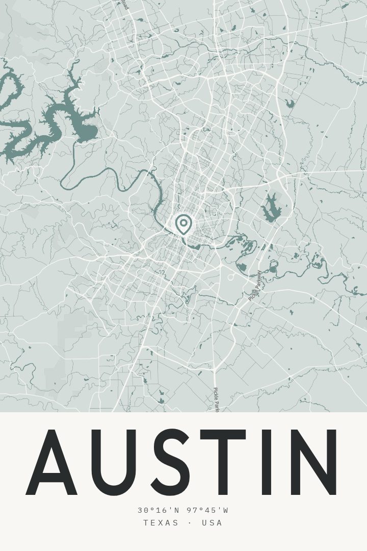
Shown at 16×24" · Archival Matte 250 gsm
Austin City Map Poster
Picture it at home
From living room to modern office
The same Austin artwork, shown in a 24×36 natural wood frame. Room scenes are for scale and styling; choose your exact size and material at checkout.


About this print
Austin map poster
Austin sits on the Colorado River at the eastern edge of the Texas Hill Country, which is part of why the city feels like two places at once. Downtown holds the state capitol and a compact grid of streets that runs down to the water; a few minutes west, the land starts folding into limestone hills and spring-fed creeks. Lady Bird Lake splits the middle of it all, with Zilker Park and Barton Springs on the south side and the University of Texas campus up north.
Most people who know Austin know it through movement: the loop trail along the lake, the bridges over it, the slow crawl of a summer evening along Red River or South Congress, the crowd that gathers to watch bats leave the Congress Avenue Bridge at dusk. The city has grown fast enough that returning residents notice the skyline has changed again, but the bones stay recognizable — the river, the hills, the long north-south avenues.
This print suits anyone with a specific Austin in their history: four years at UT, a first apartment east of the highway, a stretch of years spent swimming at Barton Springs before work. Seen on a wall, a city map rewards the kind of looking that happens over months rather than minutes, with a familiar corner surfacing on a second or third pass. It is made as artwork rather than as something to navigate by.
Make a custom map poster of your own routeDid it yourself? Make a poster from your own Strava activity
Map details
- Location
- Texas, United States
- Collection
- Cityscapes
You might also like
Related map posters
Part of a collection