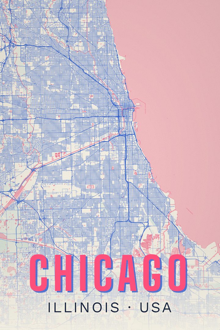
Shown at 16×24" · Archival Matte 250 gsm
Chicago City Map Poster
Picture it at home
From living room to modern office
The same Chicago artwork, shown in a 24×36 natural wood frame. Room scenes are for scale and styling; choose your exact size and material at checkout.


About this print
Chicago map poster
Chicago sits on the southwest shore of Lake Michigan, and almost everything about the way the city is laid out comes back to that water. The street grid runs long and straight, numbered east and west from State Street and north and south from Madison, so an address doubles as a set of coordinates. The Chicago River splits downtown into three sides, and the elevated tracks of the Loop draw a rectangle around the business district that gave the neighborhood its name. Out past the center, the grid keeps going for miles through neighborhoods with their own distinct character, from Pilsen and Bridgeport on the South Side to Logan Square and Rogers Park up north.
It is a city people get attached to by walking and riding it. The lakefront path carries runners and cyclists along the shoreline for most of the city's length, past beaches, harbors and parkland that stay public all the way down. Rebuilding after the 1871 fire turned Chicago into a proving ground for tall buildings, and the skyline still reads as a record of that century of ambition.
A map print of Chicago works for anyone who has lived in it, trained in it, or keeps going back. Hung somewhere it gets looked at often, it becomes a quiet reference point for the summers at the lake, the commutes, the neighborhoods crossed off one at a time. It is made as artwork for a wall rather than something to navigate by.
Make a custom map poster of your own routeDid it yourself? Make a poster from your own Strava activity
Map details
- Location
- Illinois, United States
- Collection
- Cityscapes
You might also like
Related map posters
Part of a collection