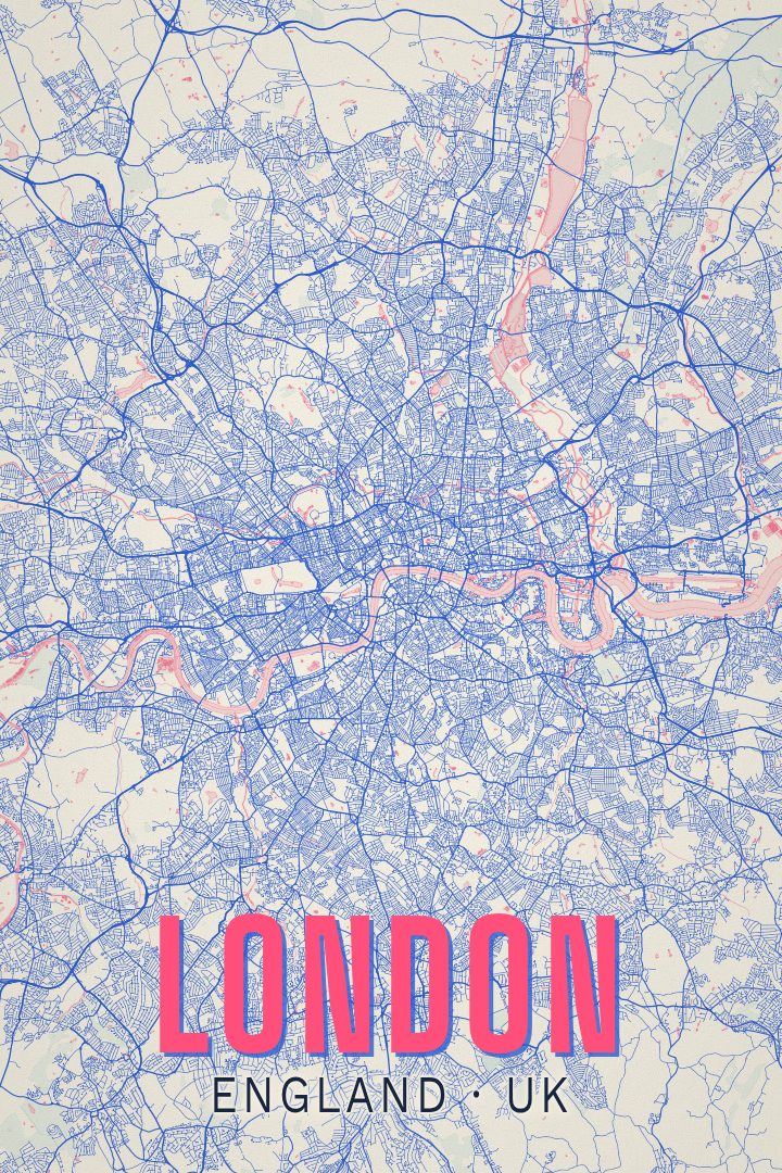
Shown at 16×24" · Archival Matte 250 gsm
London City Map Poster
About this print
London map poster
London is a city best understood by its river. The Thames arrives from the west, loops hard around the Isle of Dogs, and carries on toward the estuary, and almost everything about the place arranges itself in relation to that curve: the old square mile of the City on the north bank, Westminster upstream, Greenwich and the docks to the east, the long green interruptions of Hyde Park and Regent's Park pressing into the built-up centre.
What gives London its particular texture is that it was never planned as one thing. Villages like Hampstead, Camden, Clapham and Dulwich were absorbed over centuries rather than designed in, which is why the street pattern tangles in some places and runs straight in others, and why walking a few hundred metres can change the character of a neighbourhood completely. Seen as a whole, flattened into a map, that history becomes legible in a way it never is at eye level.
A print like this tends to appeal to people with a particular London in their heads — a flat they rented for two years, a commute walked rather than ridden, a marathon course through Greenwich and Canary Wharf and along the Embankment, or simply a visit that stuck. Hung in a hallway or above a desk, a city at this scale invites the kind of slow looking where the eye wanders toward somewhere familiar and stops there. It is made as artwork for a wall, not as something to navigate by.
Make a custom map poster of your own routeDid it yourself? Make a poster from your own Strava activity
Route details
- Location
- England, United Kingdom
- Collection
- Cityscapes
You might also like
Related map posters
Part of a collection