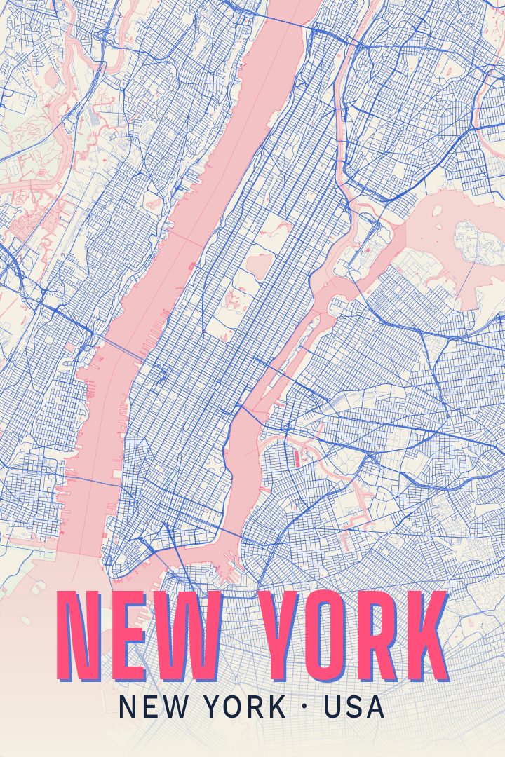
Shown at 16×24" · Archival Matte 250 gsm
New York City Map Poster
About this print
New York map poster
New York is a city built on water and edges. Manhattan sits between the Hudson and the East River, linked to Brooklyn, Queens, the Bronx and Staten Island by bridges, tunnels and ferry routes, and the shape of all that land and water is instantly recognizable even without a single label read closely. Above 14th Street the numbered grid takes over in long, regular strokes; below it, the older streets wander at their own angles, and Central Park opens a clean rectangle in the middle of the island. Seen from above, the city reads less like a place of landmarks than a place of patterns.
That is usually what makes a map of New York worth hanging. People who have lived there carry the city as a set of routes rather than sights: a walk across a bridge, a borough reached by a long subway ride, a neighborhood that took a few years to feel like home. A print like this gives all of that somewhere to rest, in a form that holds up on a wall without explaining itself to visitors who have never been.
It suits an entryway, a hallway, or a spot near a desk where it gets looked at in passing rather than studied. It works on its own, and it pairs easily with prints of other cities or routes that belong to the same stretch of someone's life. As a piece of wall art rather than a navigation tool, it is made to be noticed slowly.
Make a custom map poster of your own routeDid it yourself? Make a poster from your own Strava activity
Route details
- Location
- New York, United States
- Collection
- Cityscapes
You might also like
Related map posters
Part of a collection