Shown at 16×24" · Archival Matte 250 gsm
Philadelphia City Map Poster — Brutalist Edition
Brutalist Edition • Philadelphia, Pennsylvania
About this print
Philadelphia map poster
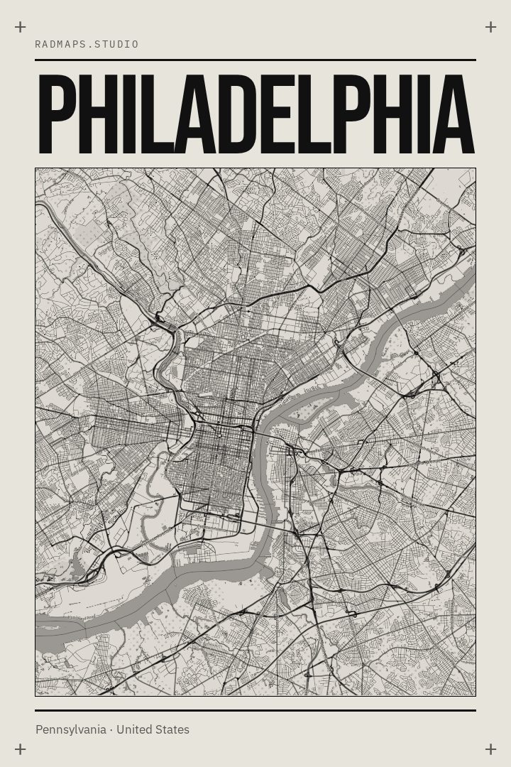
Philadelphia is a city built on a plan. William Penn laid out a grid between the Delaware and the Schuylkill, anchored by five public squares, and that logic still holds centuries later: Broad Street running the long north-south line, Market Street crossing it at City Hall, numbered streets counting west from the river. Around that framework the city grew less tidily, which is where the character lives — the tight rowhouse blocks of South Philadelphia, the mill-era streets of Manayunk and Germantown, Fishtown and Kensington along the river, Fairmount Park spreading out along the Schuylkill past Boathouse Row and the Art Museum steps.
A map print of Philadelphia reads differently depending on who is looking at it. For someone who grew up here, it is a set of routes: the walk to work down Pine, the loop on Kelly Drive, the Sunday drive out past the parkway. For someone who moved away, it is a way of keeping the shape of the place within sight. The grid also happens to make a strong image on a wall, with its clean verticals meeting the bend of two rivers.
The Brutalist Edition is a visual treatment, not a printing process — a design approach drawn from heavy geometry, flat planes, and blunt, structural type, which suits a city with as much concrete and civic architecture as this one. Produced digitally by a print partner, it is made to be looked at rather than navigated by.
Make a custom map poster of your own routeDid it yourself? Make a poster from your own Strava activity
Route details
- Location
- Pennsylvania, United States
- Collection
- Cityscapes
- Edition
- Brutalist Edition
You might also like
Related map posters




Part of a collection