Shown at 16×24" · Archival Matte 250 gsm
Philadelphia City Map Poster — Classic Edition
Classic Edition • Philadelphia, Pennsylvania
About this print
Philadelphia map poster
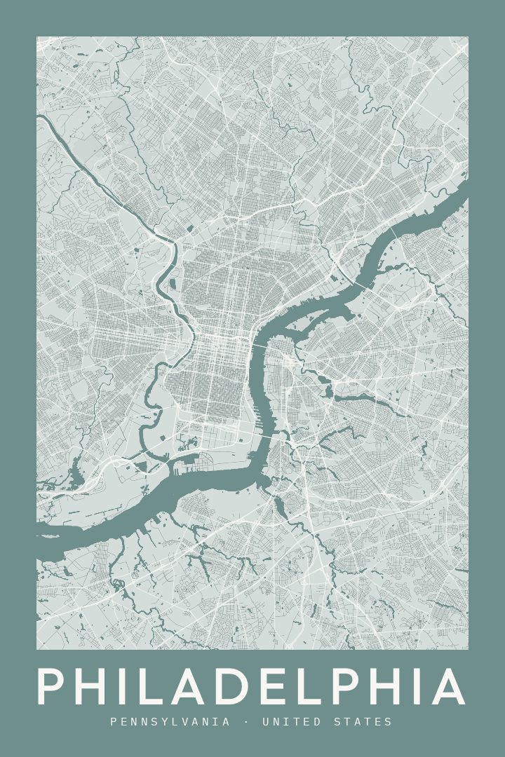
Philadelphia was drawn before it was built. William Penn's surveyors set a grid on the neck of land between the Delaware and the Schuylkill, anchored by five public squares, and that plan still governs how the city moves: numbered streets running one way, named streets crossing them, Broad Street cutting straight through the middle from north to south. Three centuries filled it in with row houses, absorbed mill towns at the edges, and a riverfront that shifted from shipping to parkland.
The result is a city that rewards attention at map scale. The Schuylkill bends northwest through Fairmount Park toward Manayunk; the Delaware squares off the eastern edge below Fishtown and Port Richmond; South Philly runs out toward the stadiums and the refinery flats, while West Philly, Germantown, and the northeast each keep their own angles against the grid. Independence Hall and the Benjamin Franklin Parkway sit within a few minutes' walk of neighborhoods people still name by block. For anyone who studied here, ran Broad Street, grew up on a particular corner, or left and kept thinking about it, a map holds that geography in one view in a way photographs rarely do.
The Classic Edition keeps to a traditional, restrained cartographic look — clean lines, quiet color, the kind of map styling that sits comfortably in a hallway, office, or living room without competing with everything around it. It is made as a keepsake and a piece of wall art rather than something to navigate by.
Make a custom map poster of your own routeDid it yourself? Make a poster from your own Strava activity
Route details
- Location
- Pennsylvania, United States
- Collection
- Cityscapes
- Edition
- Classic Edition
You might also like
Related map posters




Part of a collection