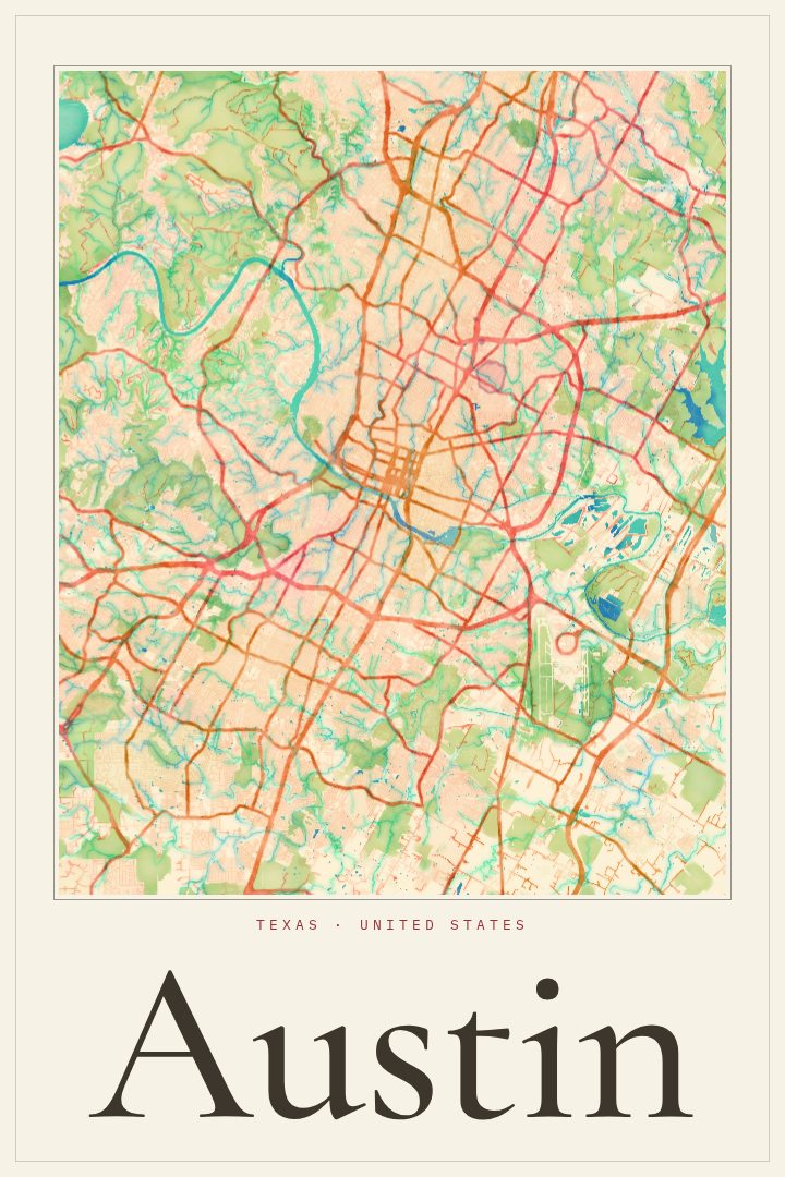
Shown at 16×24" · Archival Matte 250 gsm
Austin City Map Poster
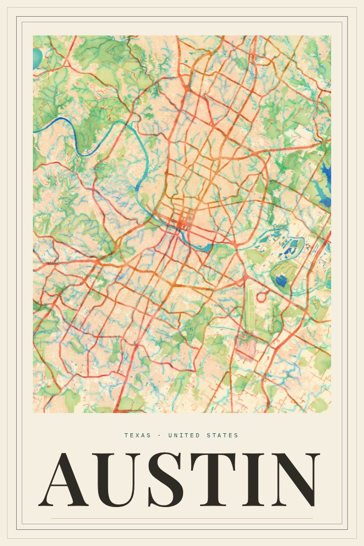
Watercolor
About this print
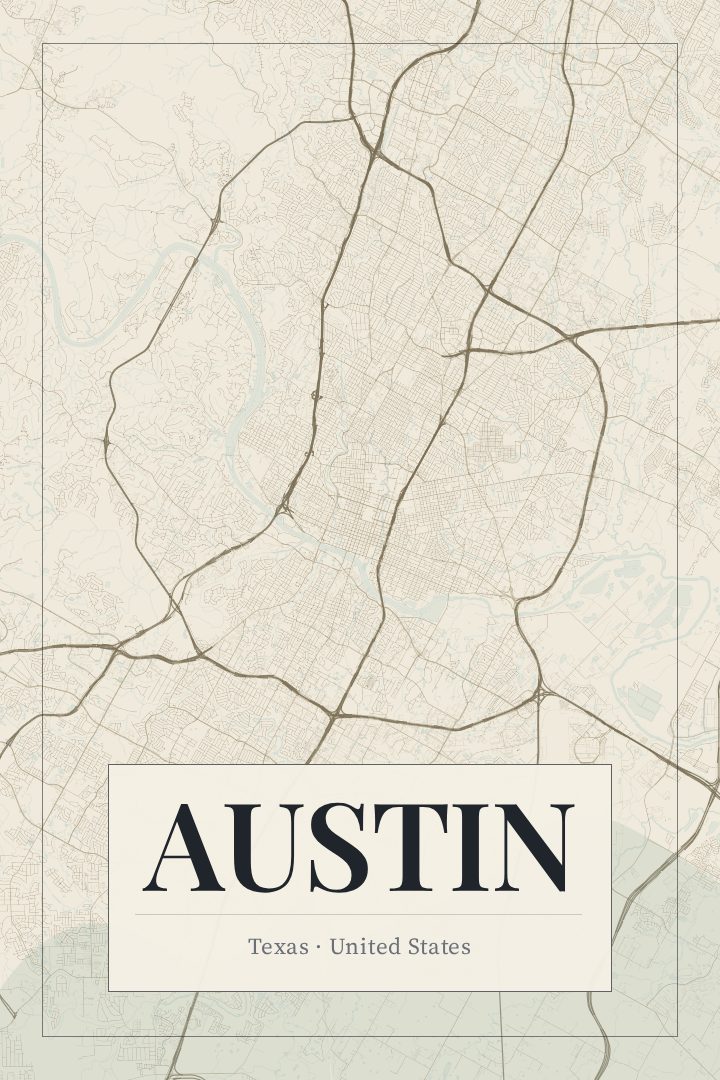
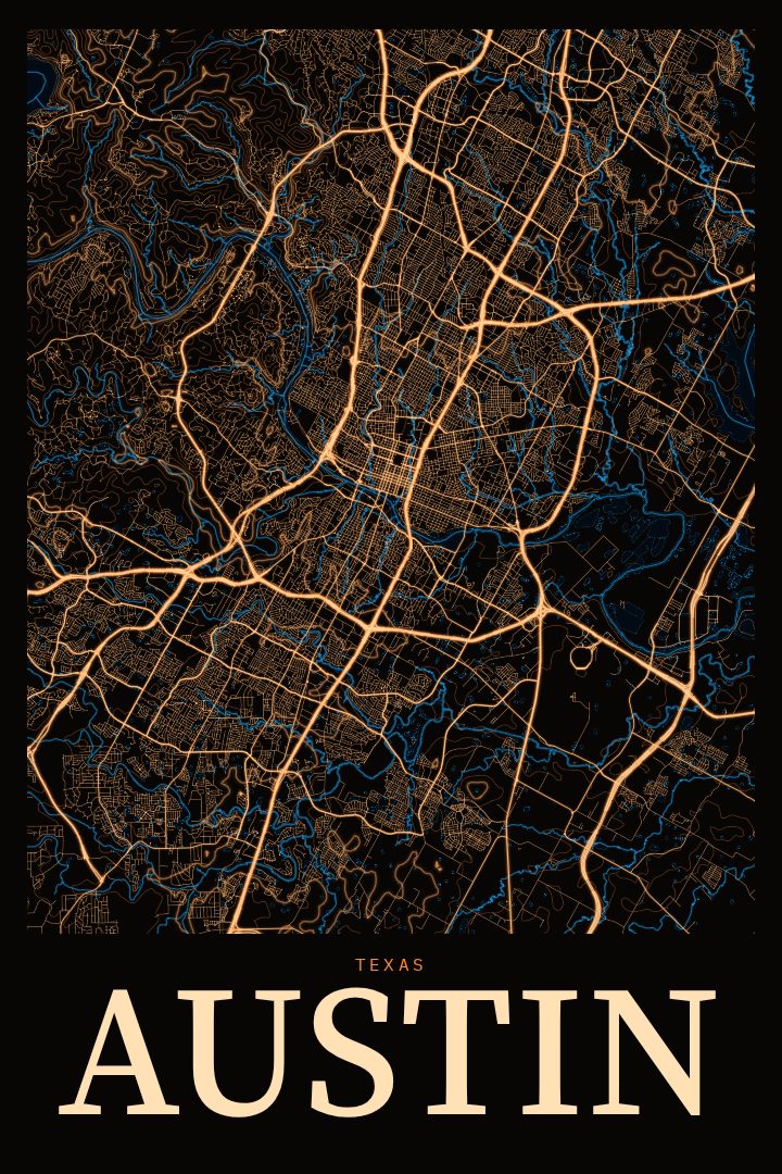
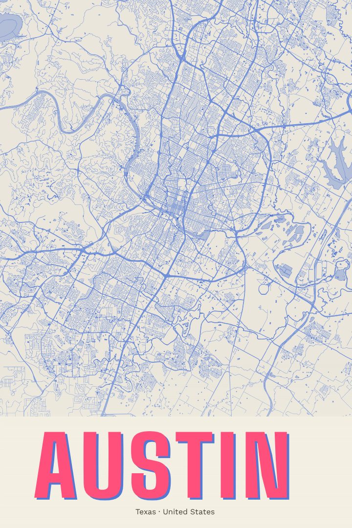
Austin map poster
Austin is a city shaped by water and hills. The Colorado River runs through its middle, widened into Lady Bird Lake, and the downtown grid rises on the north bank toward the Texas State Capitol. South of the river, neighborhoods spread out toward the hills, while to the west the land climbs into the Texas Hill Country. It is a place people tend to know by its streets: the walk to a favorite taco spot, the run along the lake trail, the drive home after a show.
This print renders Austin's street map in the Watercolor style, a design approach that trades hard lines and flat fills for soft washes of color. The effect is gentle and a little loose, closer to a painting than a technical drawing, which suits a city with a relaxed reputation and a long love of music and art. Every print is produced digitally, and the Watercolor edition is a visual style rather than a printing method.
A map of Austin makes a fitting piece for anyone with ties to the city: a longtime resident, a University of Texas graduate, someone who moved away and still misses Barton Springs, or a newcomer settling in. It works well as a housewarming or graduation gift, or as a quiet reminder of a place that mattered during a particular chapter of life. The poster is meant as decorative art for a wall, not as a guide for getting around town, and the soft palette sits comfortably in living rooms, bedrooms, and home offices alike.
Make a custom map poster of your own routeDid it yourself? Make a poster from your own Strava activity
Route details
- Location
- Texas, United States
- Collection
- Cityscapes
Same city, different style
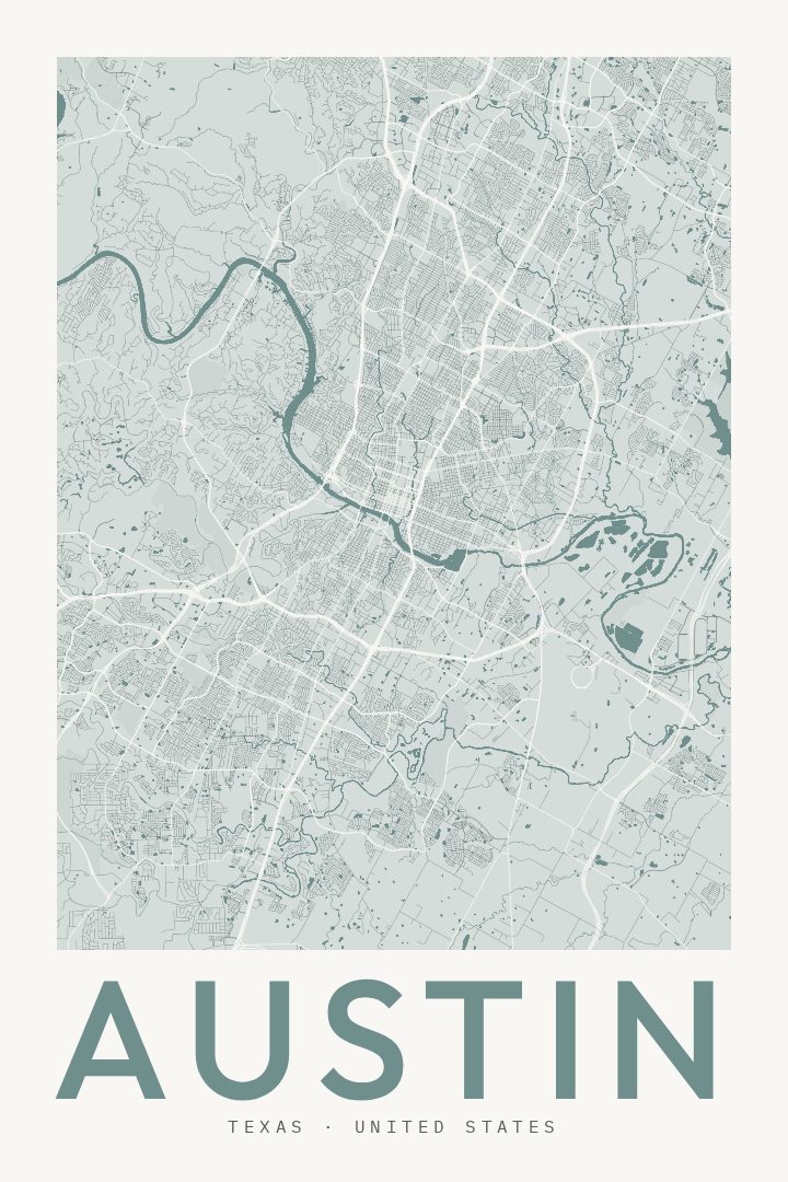
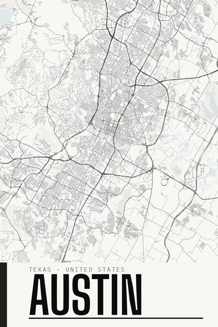
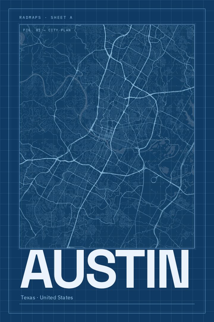
Austin in every style
You might also like
Related map posters




Part of a collection