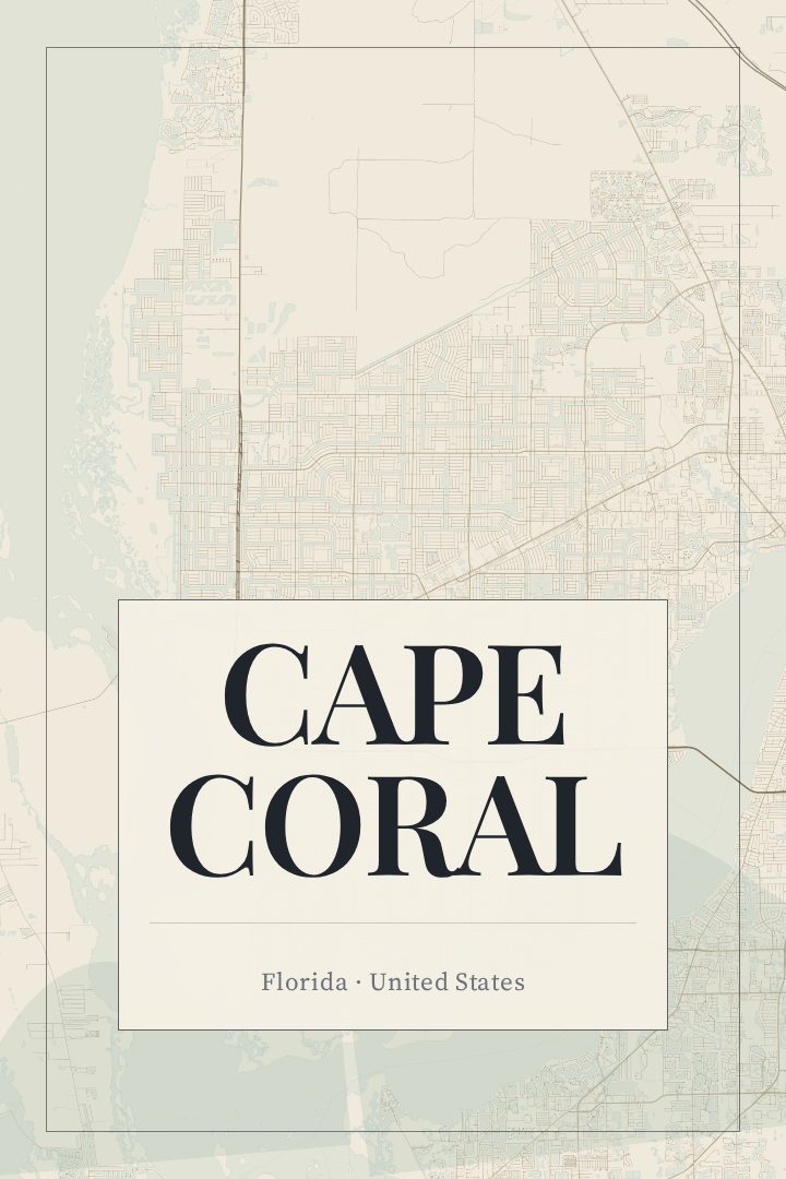
Shown at 16×24" · Archival Matte 250 gsm
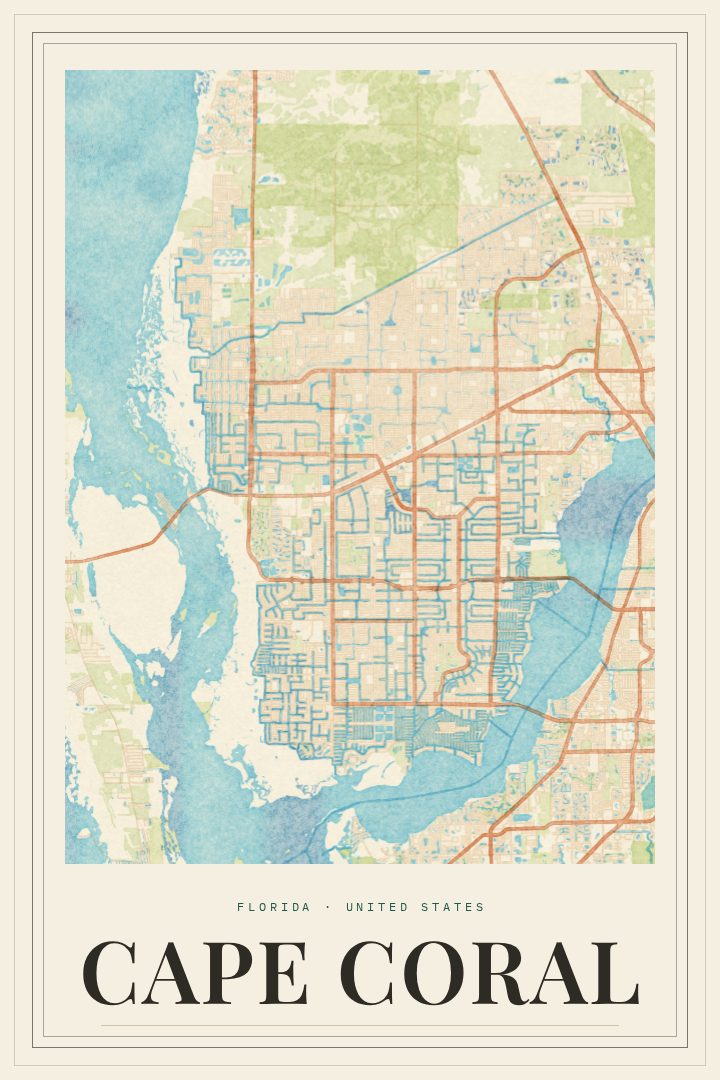
Cape Coral City Map Poster
Cartouche
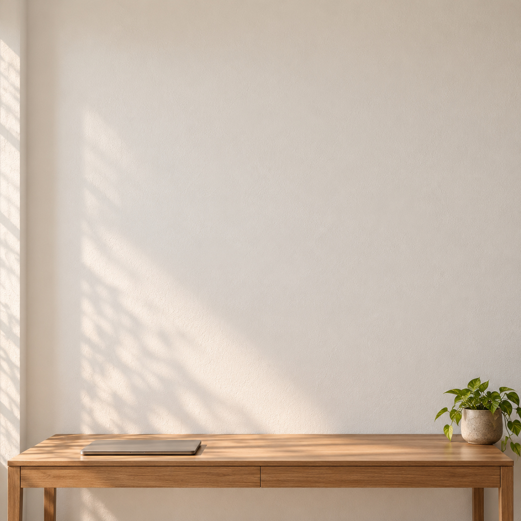
Picture it at home
From living room to modern office
The same Cape Coral artwork, shown in a 24×36 natural wood frame. Room scenes are for scale and styling; choose your exact size and material at checkout.

About this print
Cape Coral map poster
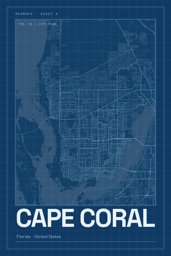
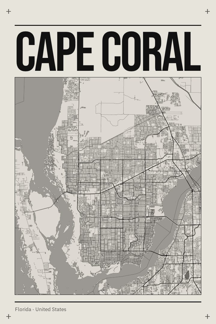
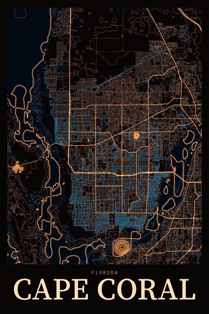
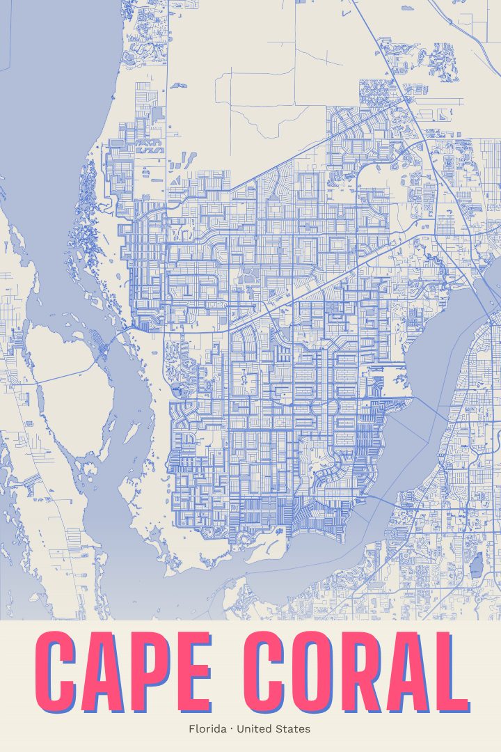
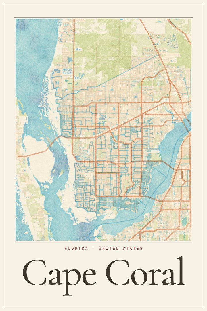
Cape Coral sits on the southwest coast of Florida, where the Caloosahatchee River widens toward the Gulf of Mexico, just across the water from Fort Myers. It is a city shaped by water as much as by roads. Canals run between the neighborhoods, and for many residents the back yard ends at a seawall and a dock rather than a fence. The city was laid out as a planned community, which gives its streets an orderly, repeating rhythm that feels different from older Florida towns that grew more loosely over time.
This print presents Cape Coral as a street map in the Cartouche style, one of the visual design styles RadMaps offers. It suits people who live in Cape Coral now, people who spent winters there for years, and anyone who keeps returning for the boating, the fishing, and the long warm evenings by the water. It also makes a thoughtful housewarming or moving-away gift for someone who has a home in Cape Coral, or once did and still talks about it.
Like every RadMaps poster, it is decorative art rather than a navigation tool. It belongs in a hallway, office, or living room where the name of the place carries some meaning, as a quiet reminder of canals, palms, and Gulf light. The available options are listed on this page.
Make a custom map poster of your own routeDid it yourself? Make a poster from your own Strava activity
Map details
- Location
- Florida, United States
- Collection
- Cityscapes
Same city, different style
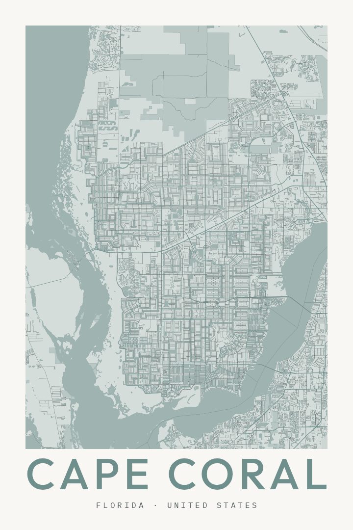
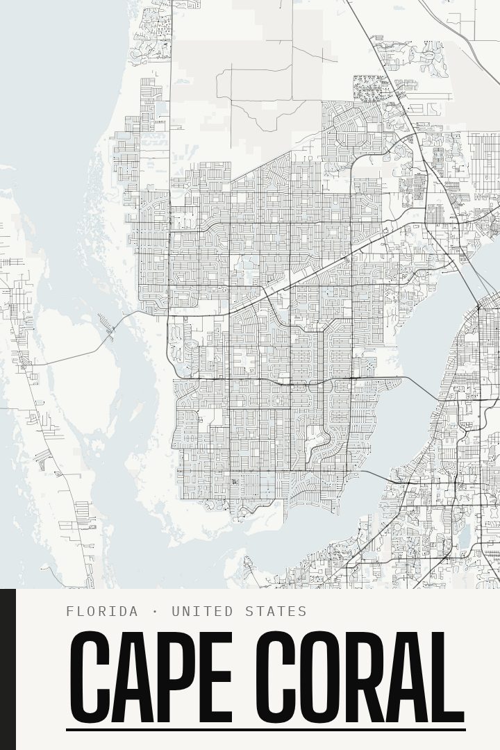
Cape Coral in every style
You might also like
Related map posters
Part of a collection