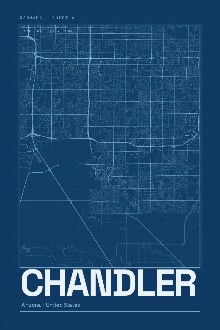
Shown at 16×24" · Archival Matte 250 gsm
Chandler City Map Poster
Blueprint
About this print
Chandler map poster
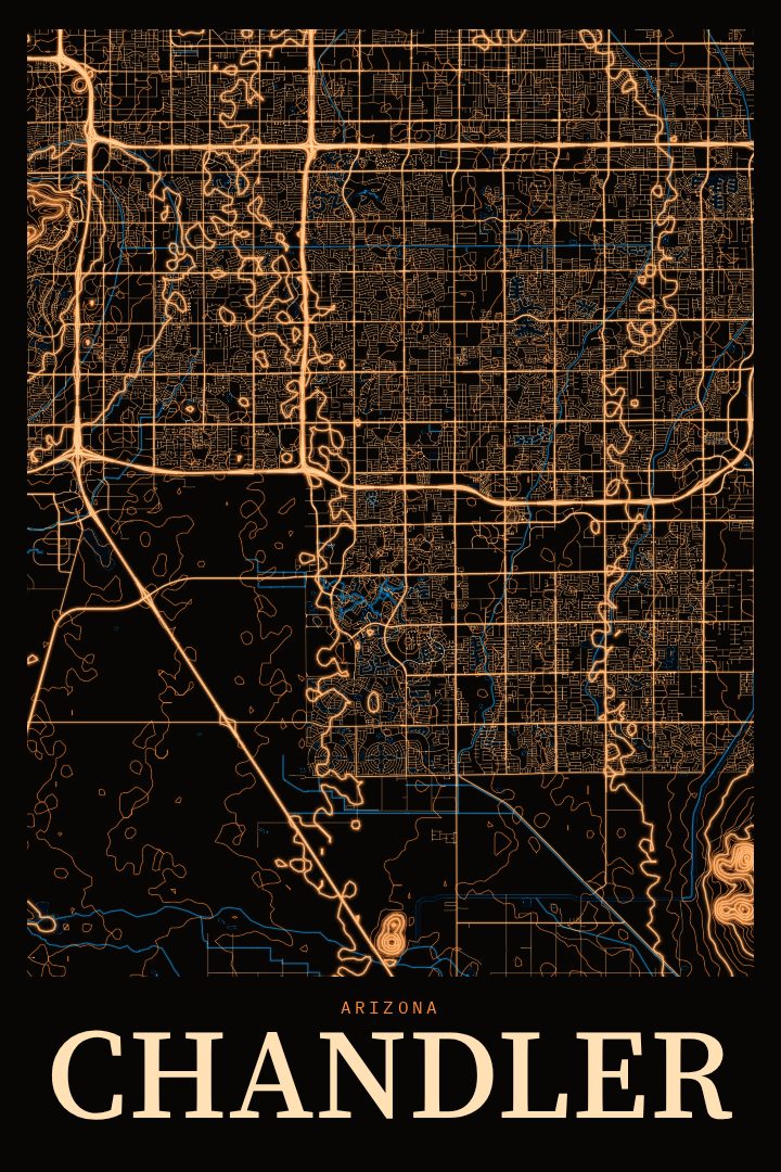
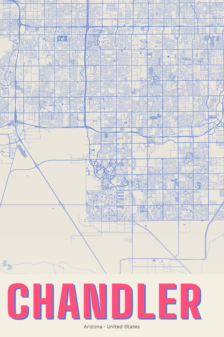
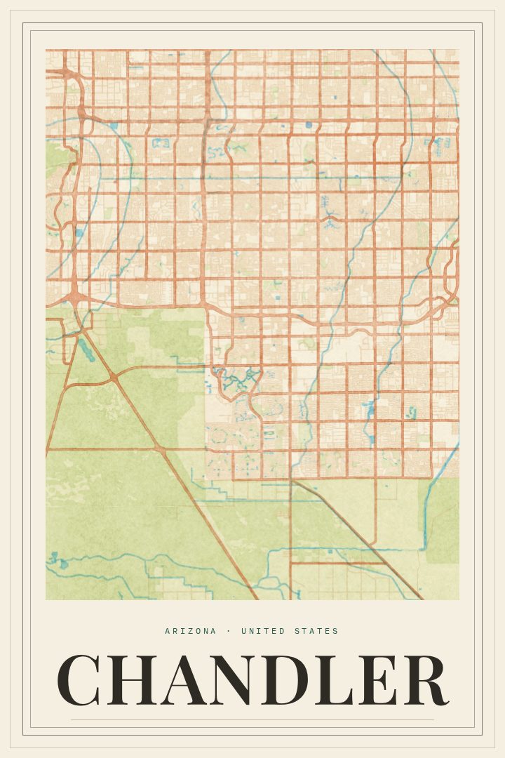
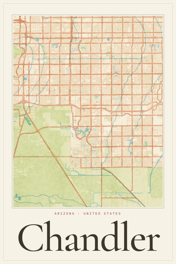
Chandler sits in the southeast corner of the Phoenix metro area, a city that grew from farmland into one of the larger communities in the Valley. Its street grid carries that history: long, straight section-line roads laid out across flat desert ground, with neighborhoods, canals and newer development filling in the squares between them. This poster renders Chandler's streets in the Blueprint style, a clean, technical look that suits a city built on such orderly geometry.
For anyone who has lived in Chandler, the map is a way to keep the place close. It might mark the city where a family put down roots, where a first house was bought, or where years were spent commuting along those wide arterial roads under a big desert sky. People who have moved away often want something on the wall that recalls home without being a photograph, and a street map does that quietly. It also works as a gift for someone who has just arrived in the East Valley and is still learning their way around.
The Blueprint edition leans toward a crisp, drafted feel, which pairs well with modern interiors, home offices and spaces where a more graphic piece fits better than a landscape. It reads as design first and geography second, so it holds up even for guests who have never been to Arizona. As with every RadMaps print, it is meant as decorative art for the wall, not a guide for getting around town.
Make a custom map poster of your own routeDid it yourself? Make a poster from your own Strava activity
Route details
- Location
- Arizona, United States
- Collection
- Cityscapes
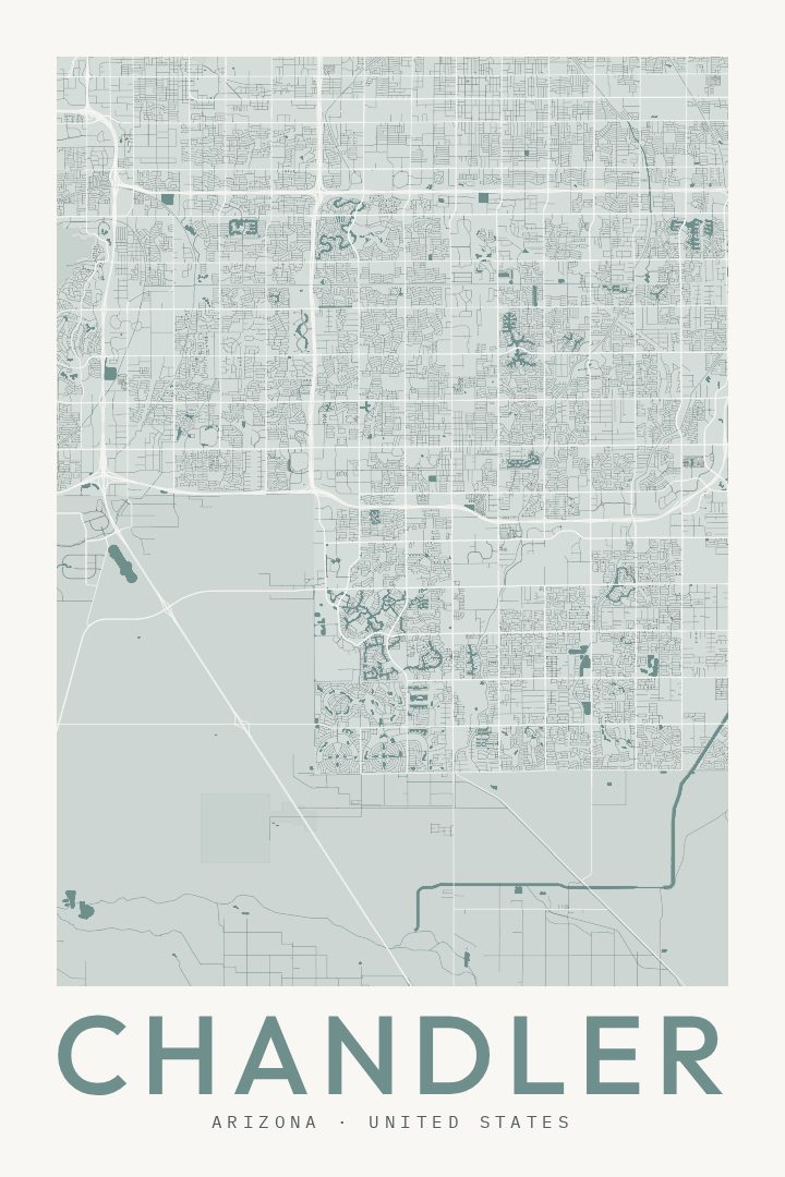
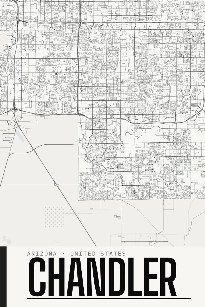
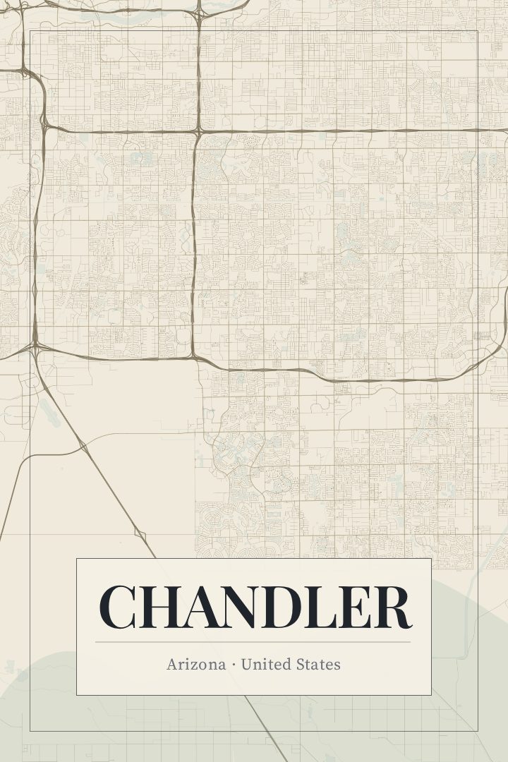
Same city, different style
Chandler in every style
You might also like
Related map posters




Part of a collection