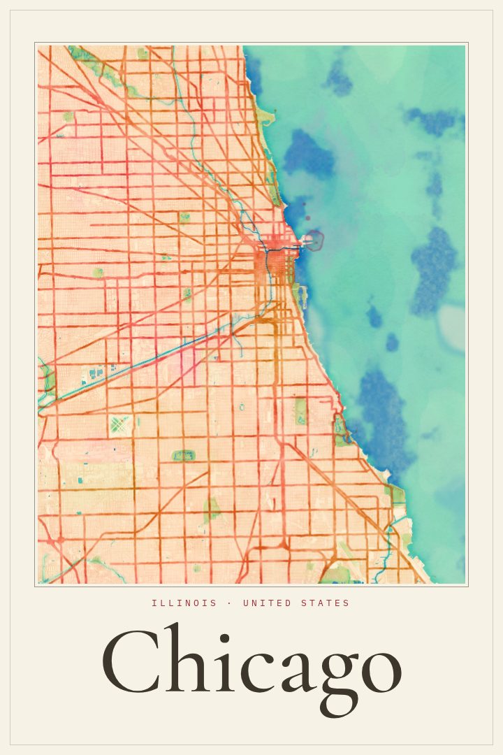
Shown at 16×24" · Archival Matte 250 gsm
Chicago City Map Poster
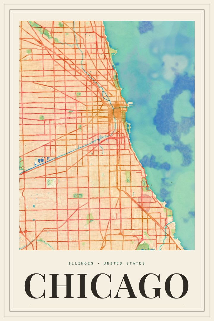
Watercolor
About this print
Chicago map poster
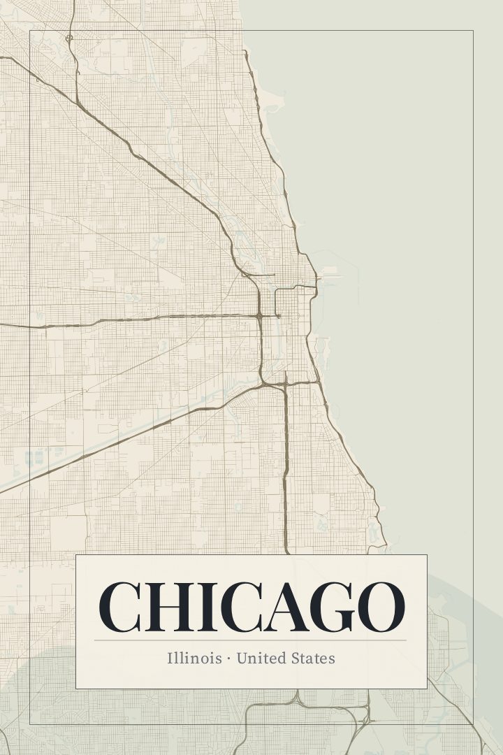
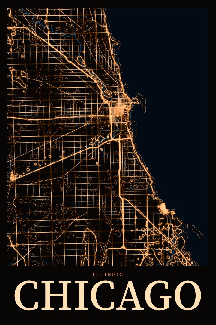
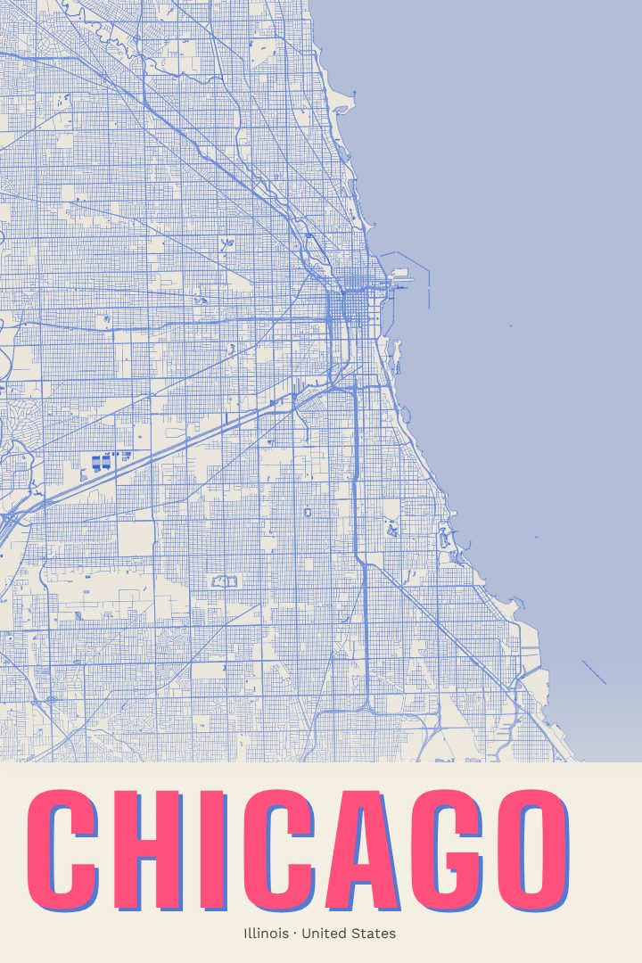
Chicago is a city people tend to carry with them. It sits on the southwestern shore of Lake Michigan, where the Chicago River cuts through downtown and the street grid runs out from the Loop in long, steady lines toward the neighborhoods. For anyone who grew up here, moved away, or spent a few good years in an apartment off the 'L', the shape of the city holds a lot of memory, and this print is a quiet way to keep it close.
The Watercolor edition renders the city's street map with soft, washed color and gentle edges, so the familiar order of Chicago's grid reads as something calmer and more painterly than a standard map. It suits a living room, a hallway, or a home office where a bold graphic might feel like too much. The style leans toward warmth rather than precision, which fits a poster meant for looking at, not for finding the way to anywhere. Like every RadMaps print, it is decorative art and should not be used for navigation.
It also makes a thoughtful gift. A Chicago street map poster works for a new homeowner in Logan Square or Hyde Park, a graduate leaving the city after school, or a family member who still talks about the lakefront years after moving. Because it shows the city itself rather than a single event or route, it tends to mean something to anyone with a connection to the place. The available sizes and options are listed on this page, so it is easy to choose one that fits the wall it is headed for.
Make a custom map poster of your own routeDid it yourself? Make a poster from your own Strava activity
Route details
- Location
- Illinois, United States
- Collection
- Cityscapes
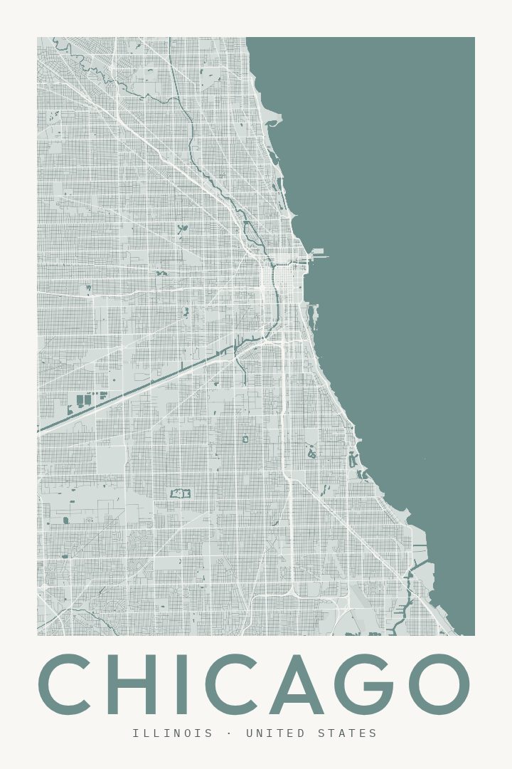
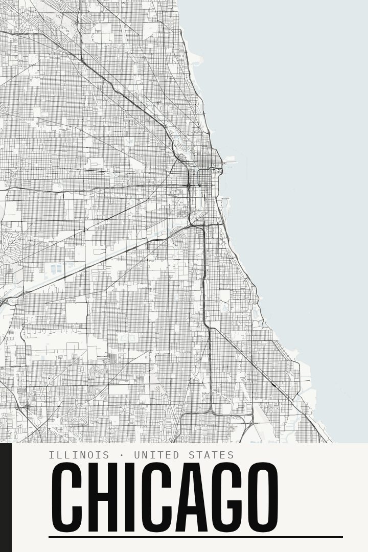
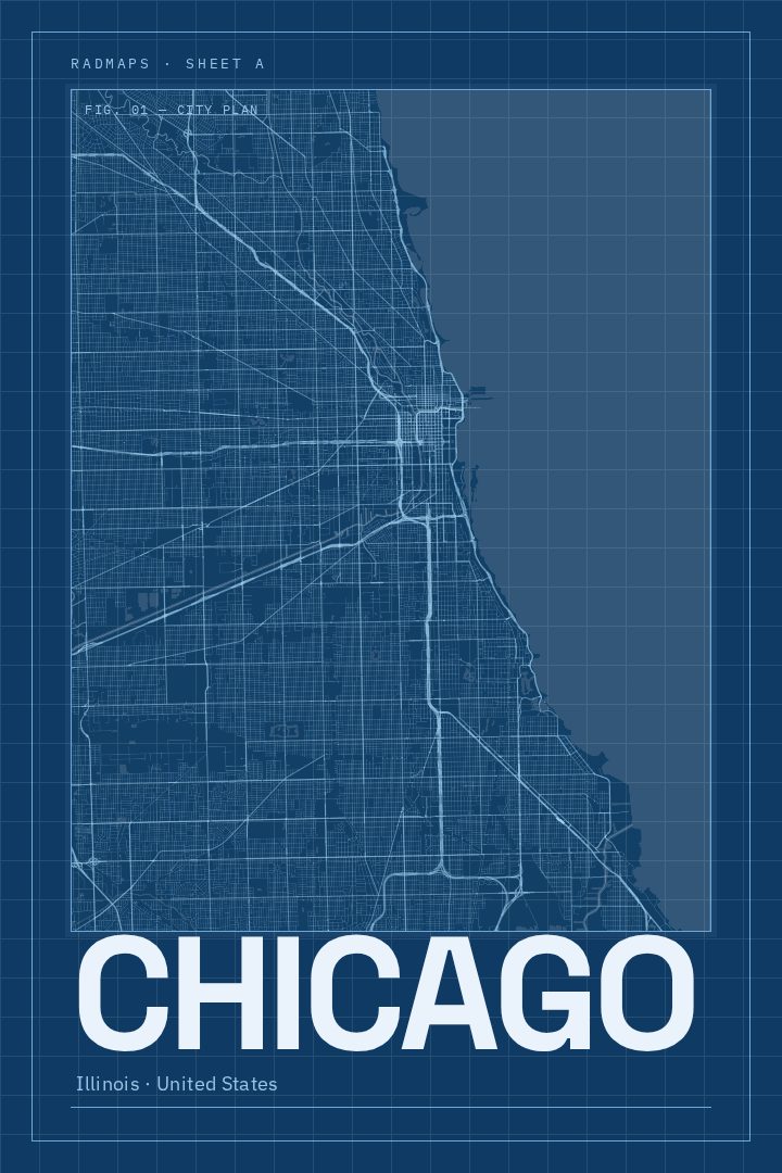
Same city, different style
Chicago in every style
You might also like
Related map posters




Part of a collection