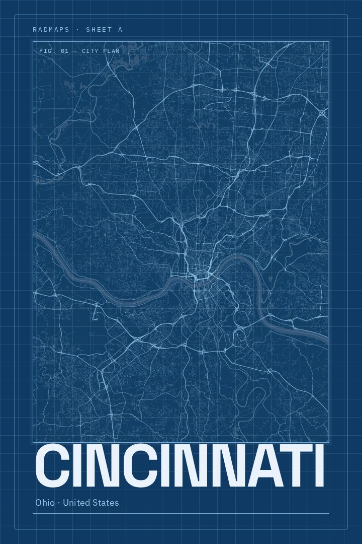
Shown at 16×24" · Archival Matte 250 gsm
Cincinnati City Map Poster
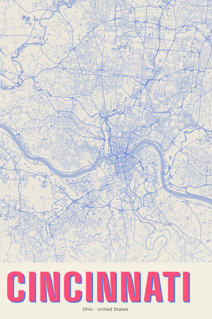
Blueprint
About this print
Cincinnati map poster
Cincinnati sits on the north bank of the Ohio River, with Kentucky just across the water and a ring of steep hills rising behind the downtown basin. That geography gives the city its character: neighborhoods climbing hillsides, bridges stitching the two states together, and a street grid that bends wherever the land refuses to stay flat. This print captures Cincinnati as a street map, a way of holding the whole city in view at once.
The Blueprint edition is a visual design style, built on the cool, technical look of an architect's drawing. It suits a city with deep roots in river trade and industry, and a long tradition of brick rowhouses and ornate older buildings. The effect is calm and orderly, the kind of piece that sits easily in a study, a hallway, or an office without demanding attention, yet rewards a closer look.
For anyone who grew up here, went to school here, or still finds their way home along the river, a map of Cincinnati can carry a lot of memory: a first apartment, a favorite chili parlor, game days by the water, a walk across a bridge into Kentucky. It also makes a thoughtful gift for someone who has moved away and misses the Queen City. The poster is meant as decorative art for the wall rather than a guide for getting around, a quiet tribute to a place with a strong sense of itself.
Make a custom map poster of your own routeDid it yourself? Make a poster from your own Strava activity
Route details
- Location
- Ohio, United States
- Collection
- Cityscapes
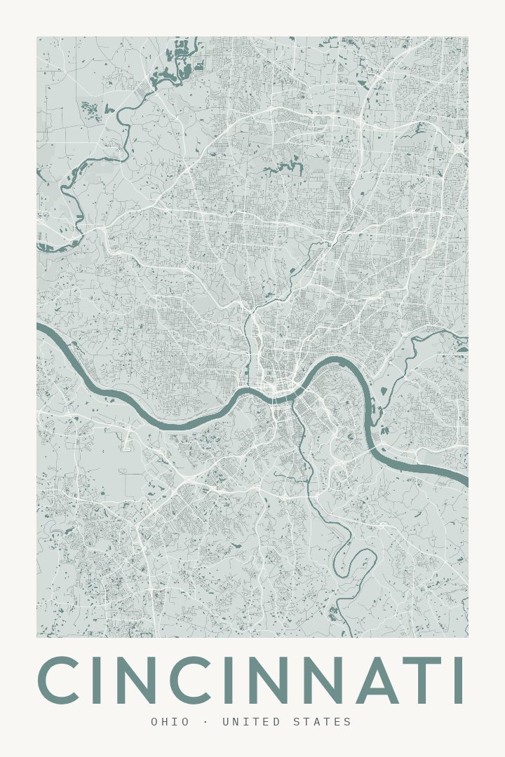
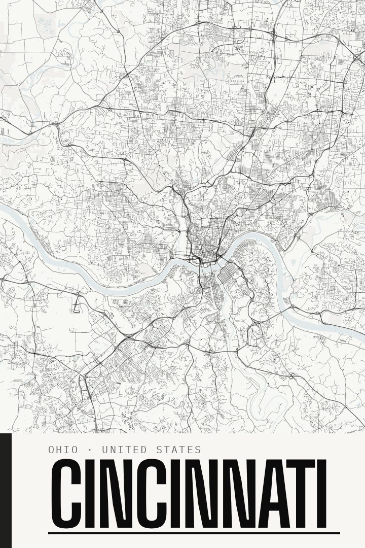
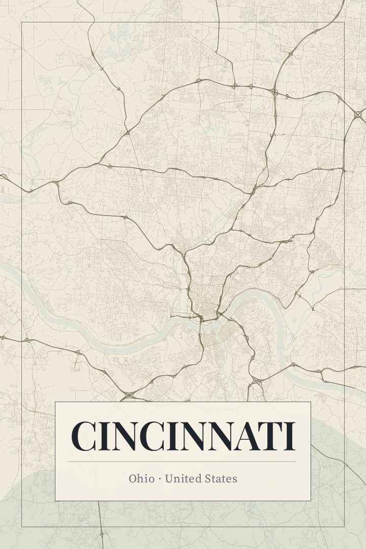
Same city, different style
Cincinnati in every style
You might also like
Related map posters




Part of a collection