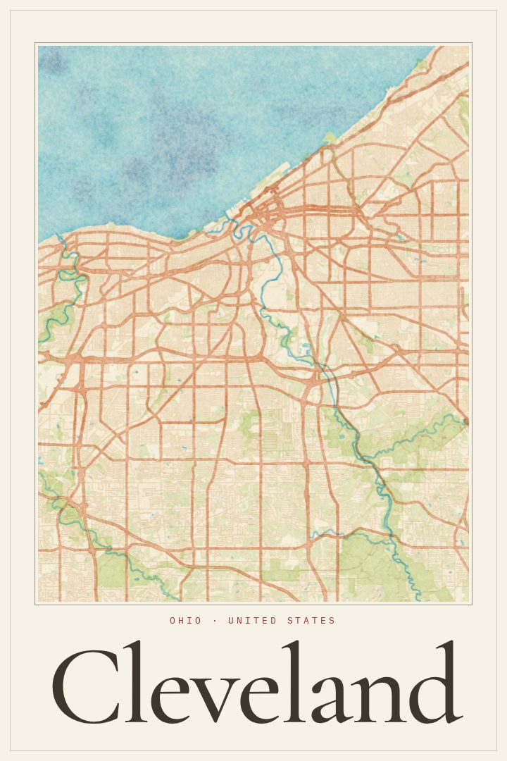
Shown at 16×24" · Archival Matte 250 gsm
Cleveland City Map Poster
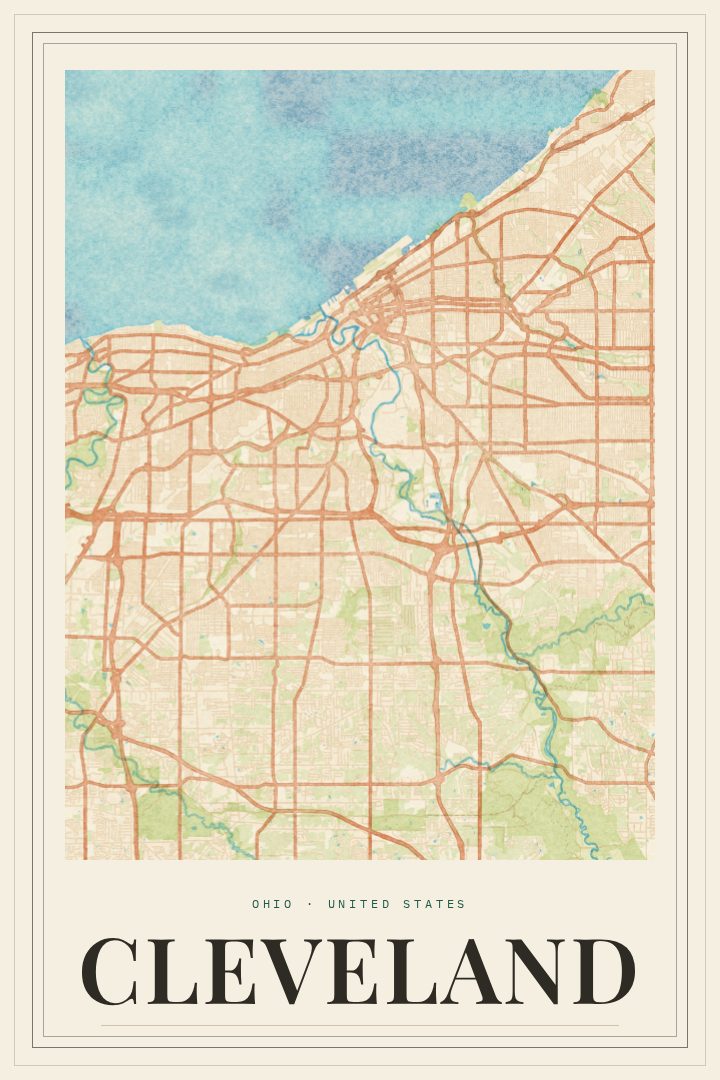
Watercolor
About this print
Cleveland map poster
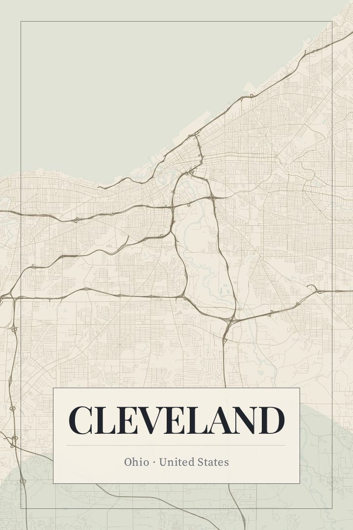
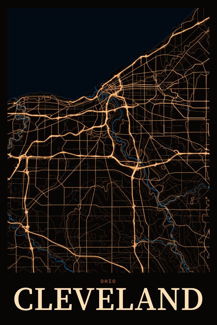
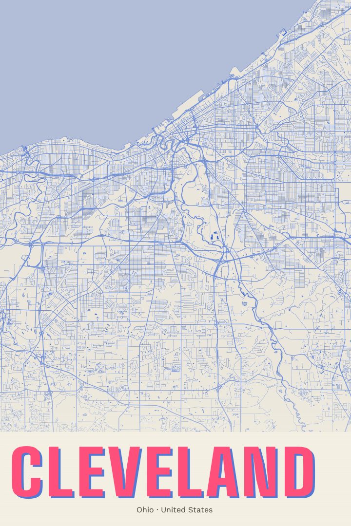
Cleveland grew up where the Cuyahoga River meets the southern shore of Lake Erie, and the city still carries the shape of that meeting: a lakefront edge, a river that bends through the Flats, and neighborhoods that spread east and west from downtown. This poster is a street map of Cleveland, Ohio, made for people who know those streets from daily life, from a few years spent there, or from a family history that runs through the city.
The Watercolor edition is a design style with soft, loose color and a painterly feel. It gives the grid of a working city a gentler look than a standard map, which suits a living room, an office, or a hallway where a sense of home matters more than precision.
Cleveland means different things to different people: Browns Sundays, an afternoon at the West Side Market, a visit to the Rock and Roll Hall of Fame, a concert at Severance Hall, winters shaped by the lake. A map of the city has room for all of those memories without spelling any of them out. It makes a thoughtful gift for someone who moved away, someone who just arrived, or someone who never left. Like every RadMaps print, it is decorative art rather than a navigation aid, meant to be looked at and remembered by, not used to find the way.
Make a custom map poster of your own routeDid it yourself? Make a poster from your own Strava activity
Route details
- Location
- Ohio, United States
- Collection
- Cityscapes
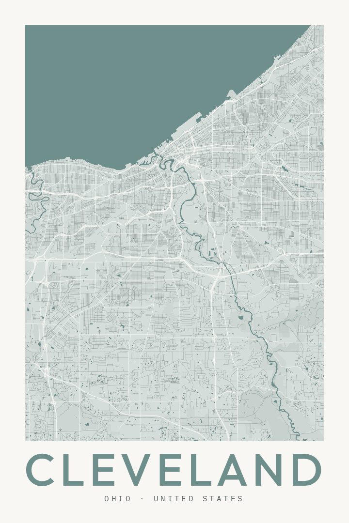
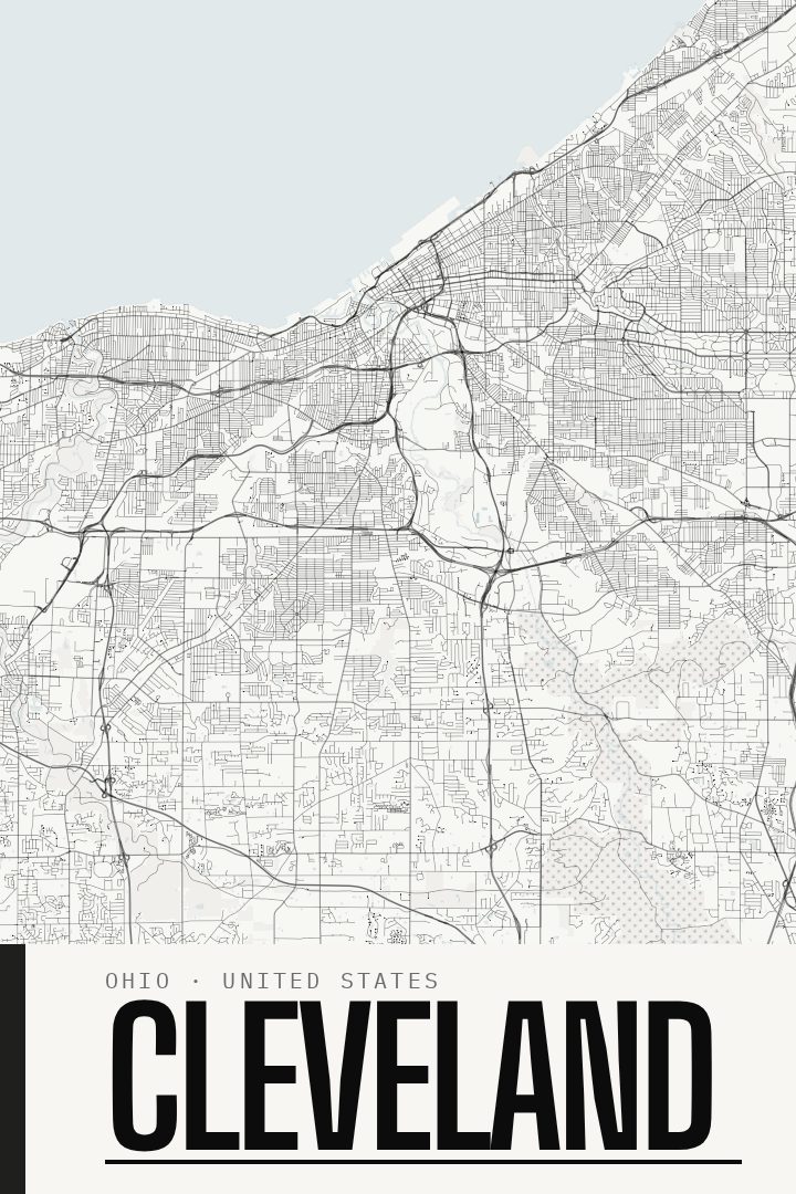
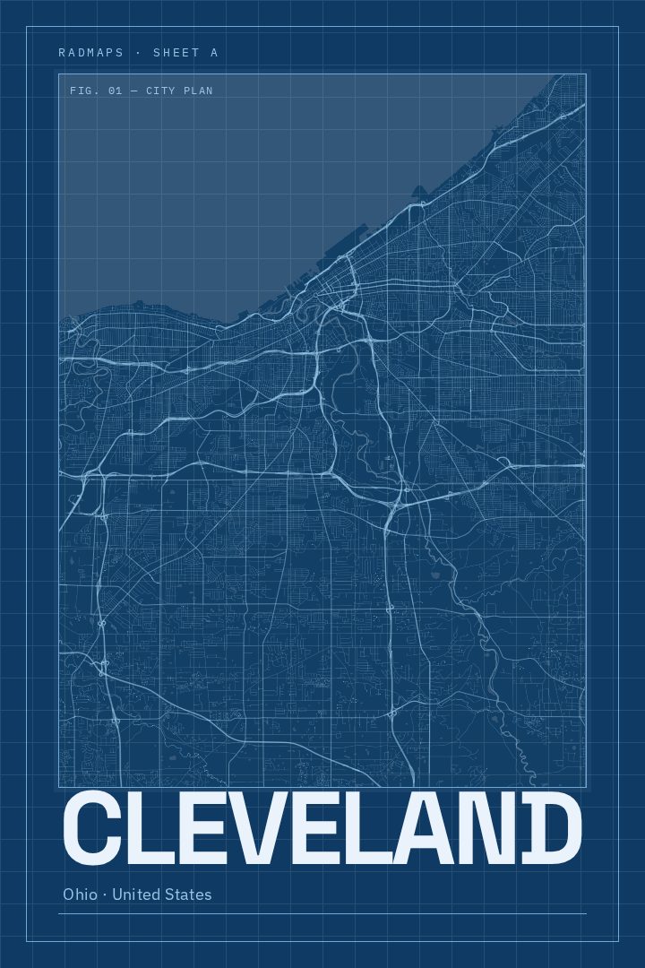
Same city, different style
Cleveland in every style
You might also like
Related map posters




Part of a collection