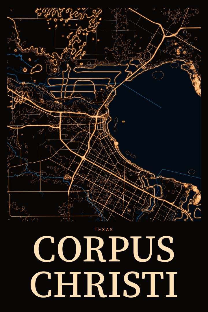
Shown at 16×24" · Archival Matte 250 gsm
Corpus Christi City Map Poster
Neon Night
About this print
Corpus Christi map poster
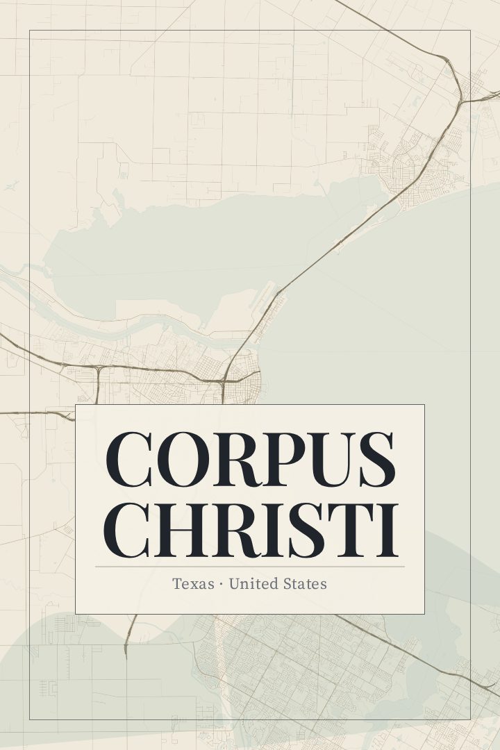
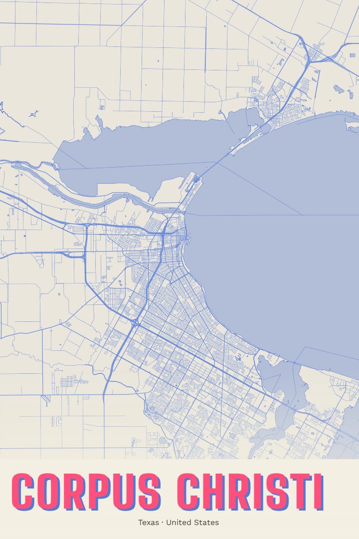
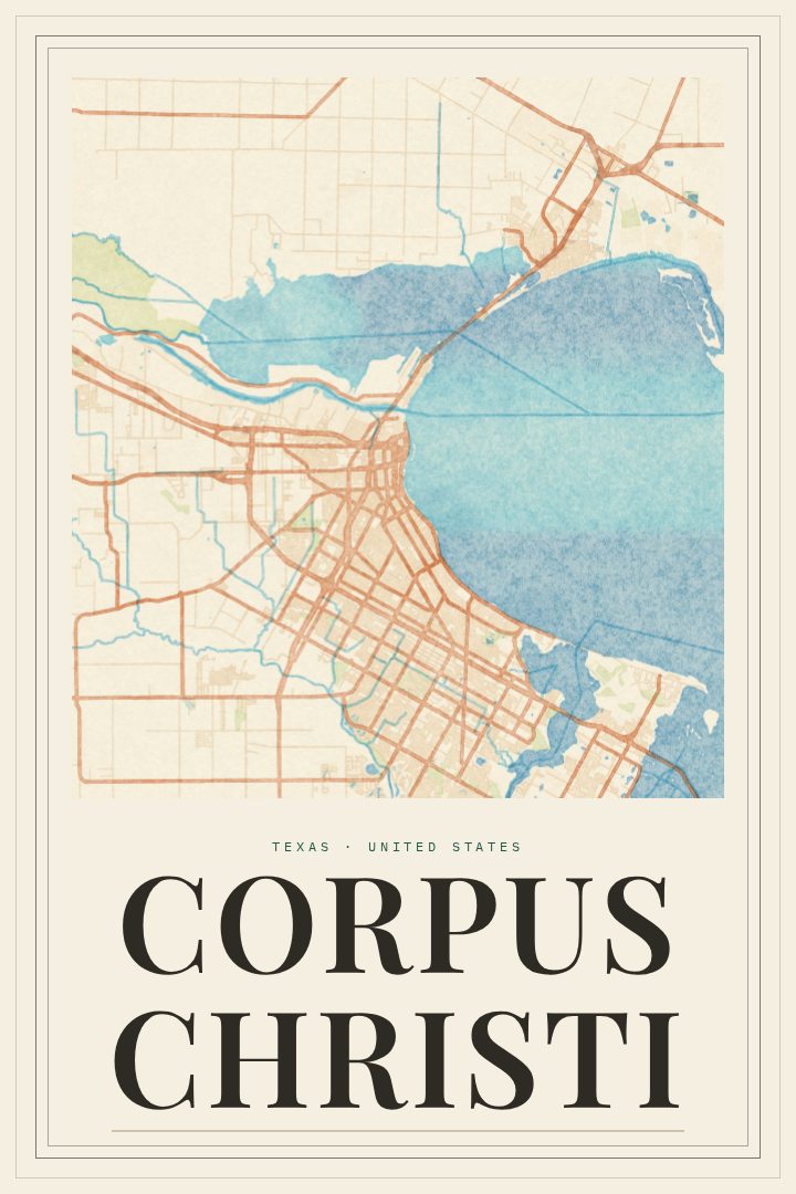
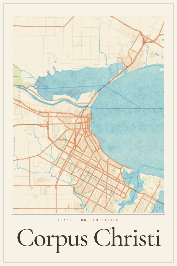
Corpus Christi sits where the Texas coastline bends around a broad, sheltered bay, and the city has always been shaped by that water. Downtown faces Corpus Christi Bay along a long bayfront seawall, the retired aircraft carrier USS Lexington rests across the harbor as a museum ship, and the barrier islands beyond, including Mustang Island and Padre Island, separate the bay from the Gulf of Mexico. It is a working port and a beach town at the same time, a place of refinery lights, fishing piers, sea breezes and long evenings by the water.
This print presents Corpus Christi as a street map poster in the Neon Night style, one of the RadMaps design editions. The streets of a coastal city carry a particular kind of character: grids that run up against the shoreline, roads that follow the curve of the bay, and neighborhoods that spread inland from the water. Seen as a single piece of wall art, the city's layout becomes something to look at rather than navigate, a reminder of a familiar drive along Ocean Drive or a weekend spent on the islands.
It suits anyone with ties to the Coastal Bend, whether they grew up there, moved away, were stationed nearby, or simply fell for the place on a visit. As a gift, it marks a hometown, a first apartment, or a favorite stretch of the Gulf Coast. The poster is decorative art and is not intended for navigation. Available sizes and finishes are listed on this page.
Make a custom map poster of your own routeDid it yourself? Make a poster from your own Strava activity
Route details
- Location
- Texas, United States
- Collection
- Cityscapes
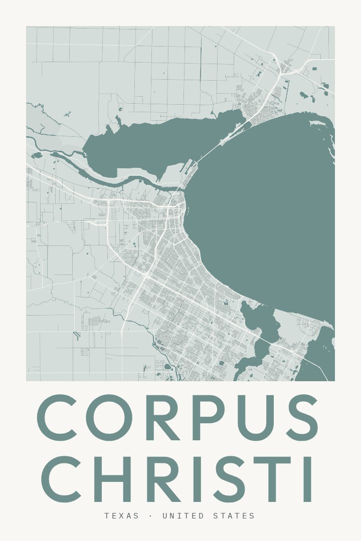
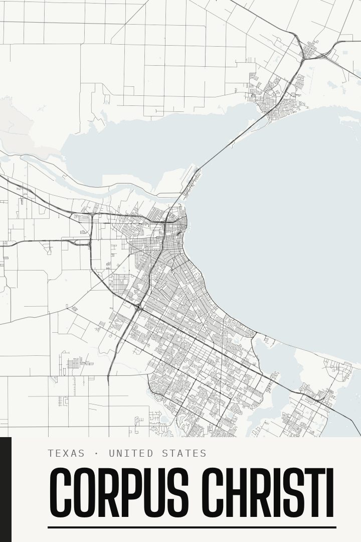
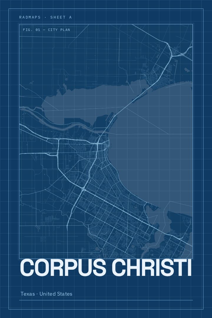
Same city, different style
Corpus Christi in every style
You might also like
Related map posters




Part of a collection