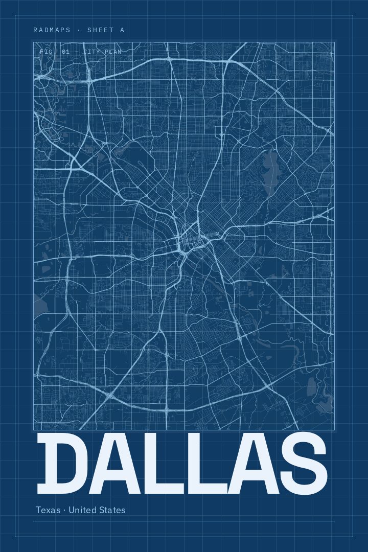
Shown at 16×24" · Archival Matte 250 gsm
Dallas City Map Poster
Blueprint
About this print
Dallas map poster
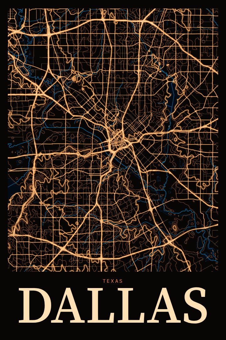
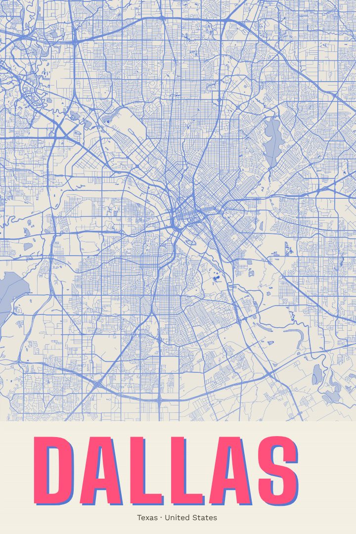
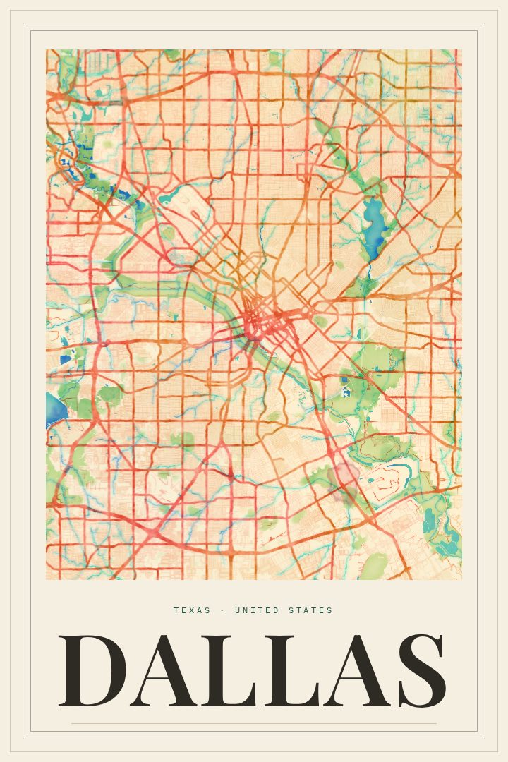
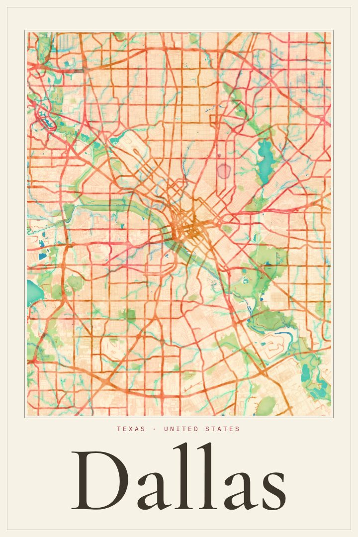
Dallas is a city that spreads out wide across the North Texas plains, laced together by highways and rail lines, with the Trinity River cutting through and a downtown skyline that rises sharply from the flat land around it. For people who have lived there, the street grid carries a lot of memory: the drive in on a familiar freeway, the neighborhood where a first apartment was, the blocks walked on the way to a favorite taco spot or a game night with friends. This poster gathers that sprawl into a single image of the city's streets.
The Blueprint edition is a visual design style, giving the map a clean, technical character that suits a city built on ambition and engineering. It reads as a drawing more than a photograph, which lets the shape of Dallas come through on its own terms: the density near the center, the long arteries stretching outward, the way the city meets the river and the land beyond. It works well in a home office, a living room, or anywhere a calm, graphic piece is wanted.
This is a decorative print, made for the wall rather than for finding a way around town. It makes a thoughtful gift for someone who grew up in Dallas, moved there recently, or left and still thinks of it as home. It also suits anyone who simply likes the look of a city seen from above. The available options are listed on this page, so the print can be matched to the space where it will hang.
Make a custom map poster of your own routeDid it yourself? Make a poster from your own Strava activity
Route details
- Location
- Texas, United States
- Collection
- Cityscapes
Same city, different style
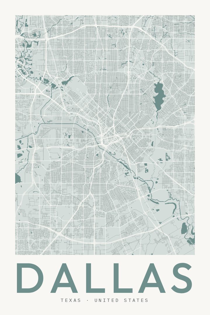
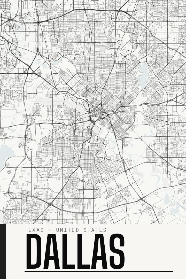
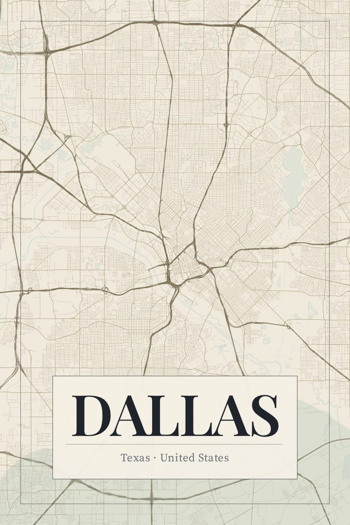
Dallas in every style
You might also like
Related map posters




Part of a collection