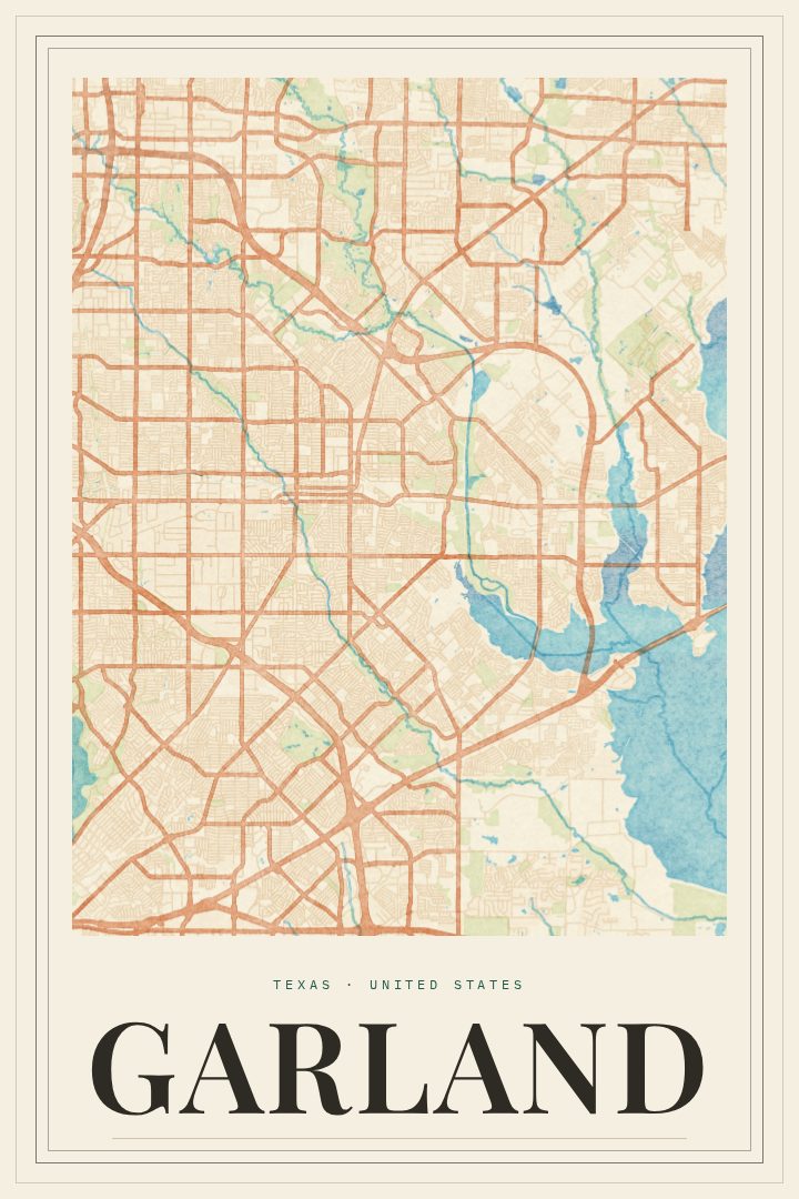
Shown at 16×24" · Archival Matte 250 gsm
Garland City Map Poster
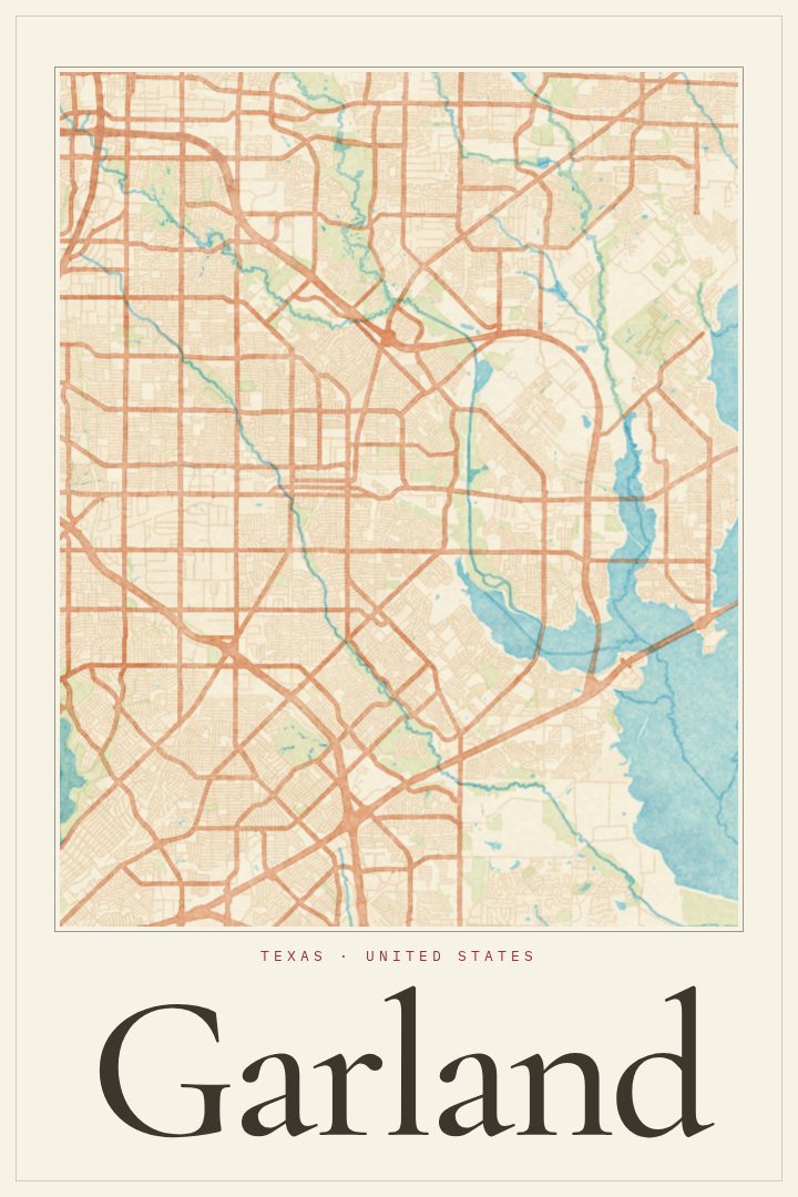
Painted Survey
About this print
Garland map poster
Garland sits just northeast of Dallas, a city with its own streets, schools, parks and long-settled neighborhoods rather than a simple extension of its larger neighbor. This print captures the street map of Garland, Texas in the Painted Survey style, giving the familiar grid and curving residential roads a softer, painterly character that suits a living room, office or hallway.
For anyone who grew up in Garland, raised a family there, or still drives its roads every day, a map of the city carries a particular kind of meaning. It can recall a first home, a commute that became routine, or the blocks walked with friends after school. Lake Ray Hubbard along the city's eastern edge and the steady spread of North Texas suburbs around it are part of what makes the area feel like home to many people, and a city map is a quiet way to keep that sense of place close.
The Painted Survey style leans toward warmth over precision, so the poster reads first as a piece of art and second as a picture of a place. It works on its own or alongside other city prints for anyone who has lived in several towns across Texas or beyond. As a gift, it suits a housewarming, a move away from the area, or someone who simply likes to see where they come from on the wall. Like every RadMaps print, it is meant for display and enjoyment, not for finding your way around town.
Make a custom map poster of your own routeDid it yourself? Make a poster from your own Strava activity
Route details
- Location
- Texas, United States
- Collection
- Cityscapes
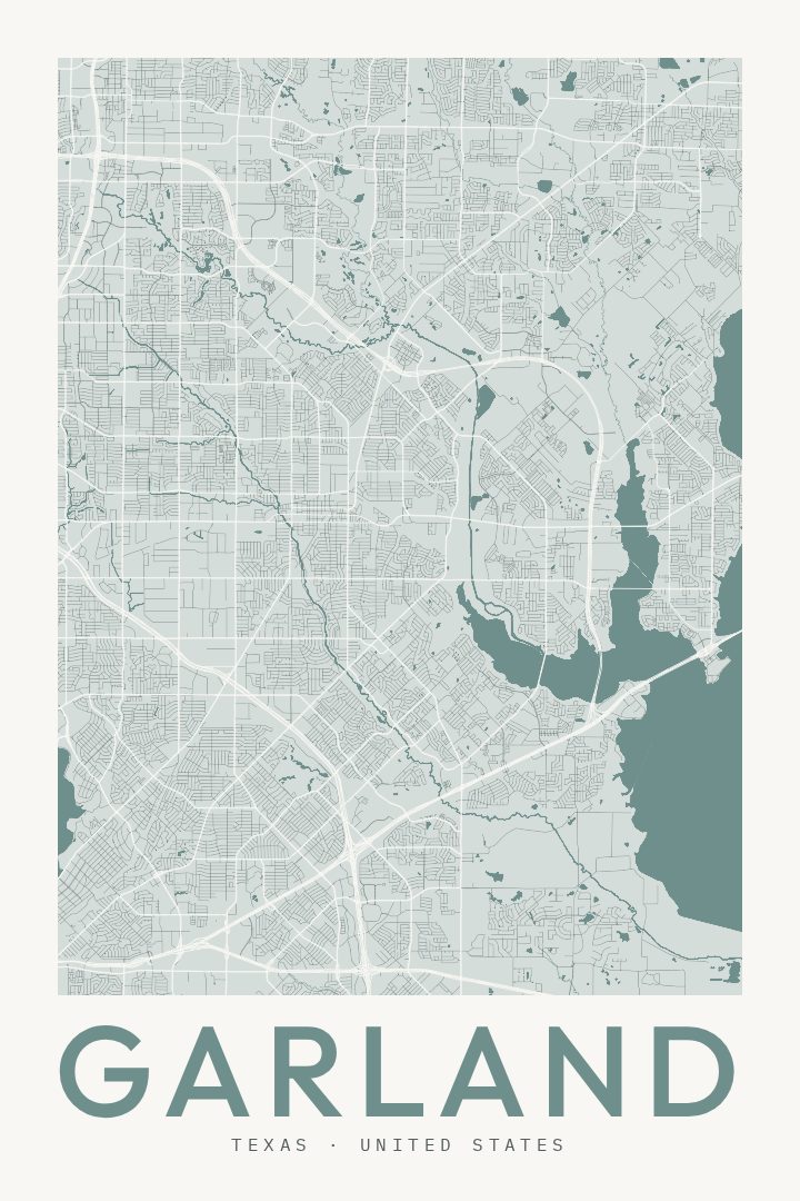
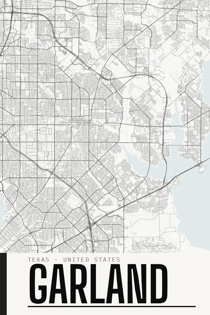
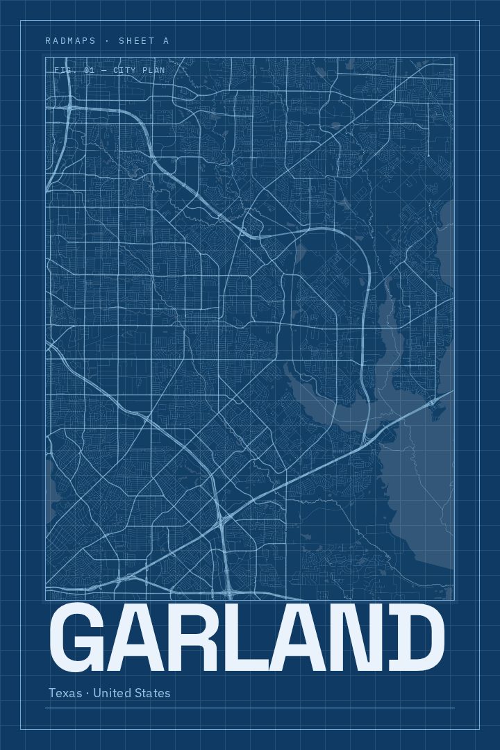
Same city, different style
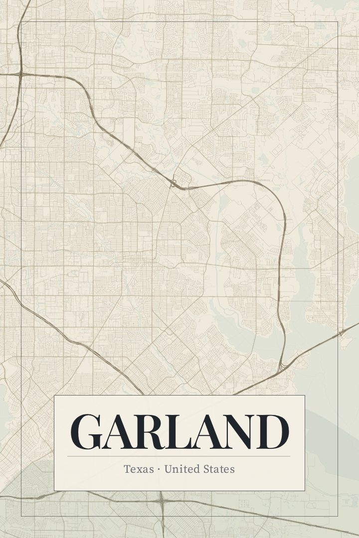
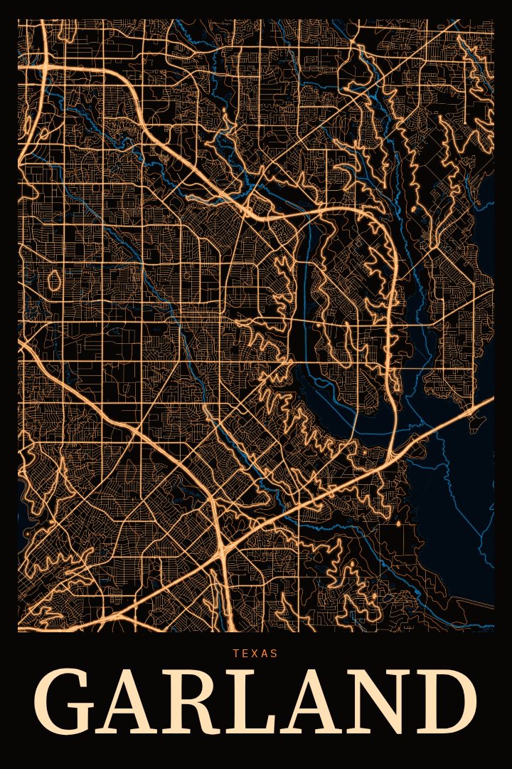
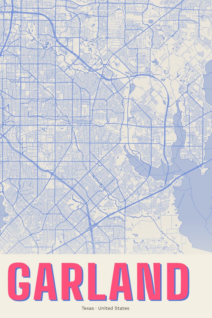
Garland in every style
You might also like
Related map posters




Part of a collection