Shown at 16×24" · Archival Matte 250 gsm
Kansas City City Map Poster
Blackline
About this print
Kansas City map poster
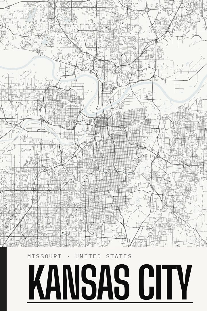
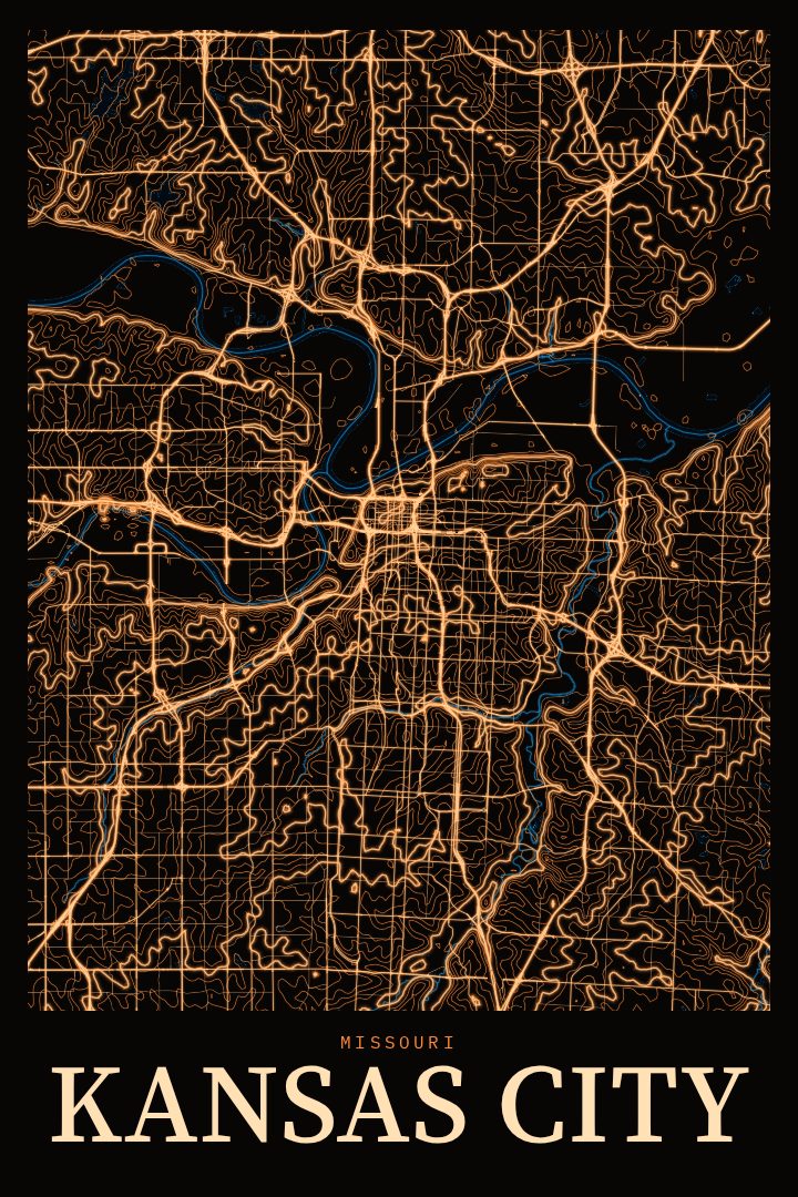
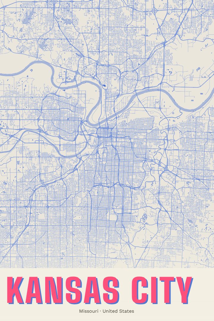
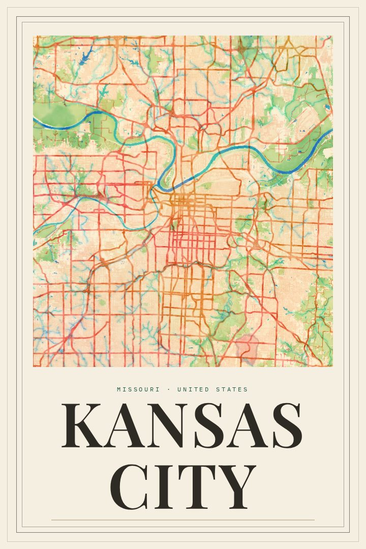
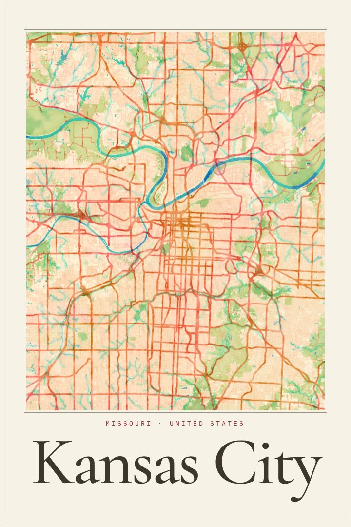
Kansas City sits where the Missouri River bends and meets the Kansas River, a city that grew up around rail yards, stockyards and the trade that moved through them. Today it is better known for barbecue, jazz, fountains, and a sports culture that fills the streets in red and blue on game days. Its layout tells that history: river bluffs to the north, a downtown grid, and long boulevards reaching south toward neighborhoods with their own distinct character.
This print presents Kansas City, Missouri as a street map in the Blackline style, a graphic design approach built on strong contrast and clean line. It suits a wall where the shape of a city matters more than its postcard views, and it holds its own in a living room, a home office, or a hallway that needs something with a sense of place. As decorative art rather than a navigation tool, it is meant to be looked at for the feeling of a familiar grid, not for finding an address.
For people who grew up in Kansas City, moved there for work or school, or left and still claim it, a map of the streets can carry more meaning than a skyline. It works as a gift for a new homeowner, a graduate heading out of town, or someone who talks about burnt ends and Union Station the way other people talk about family. The available options are listed on the page, so choosing the right fit for a particular room is straightforward.
Make a custom map poster of your own routeDid it yourself? Make a poster from your own Strava activity
Route details
- Location
- Missouri, United States
- Collection
- Cityscapes
Same city, different style
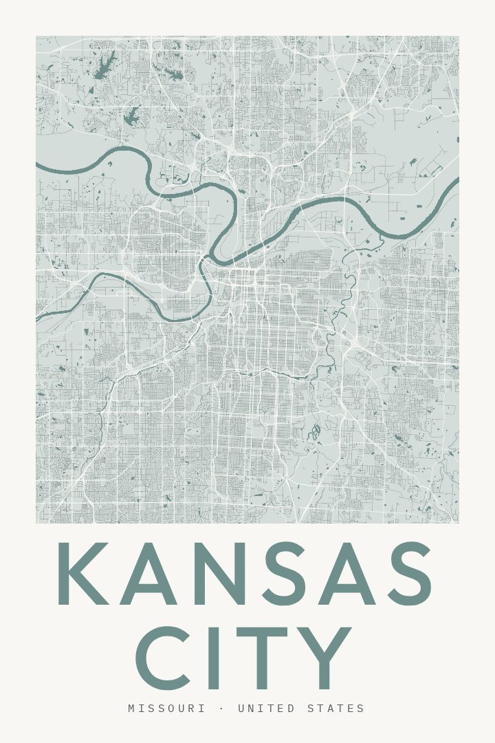
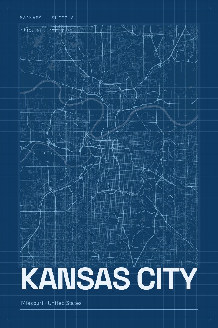
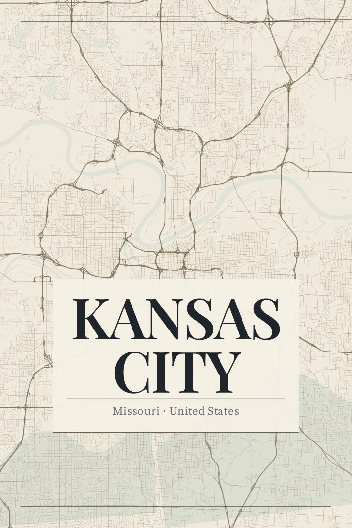
Kansas City in every style
You might also like
Related map posters




Part of a collection