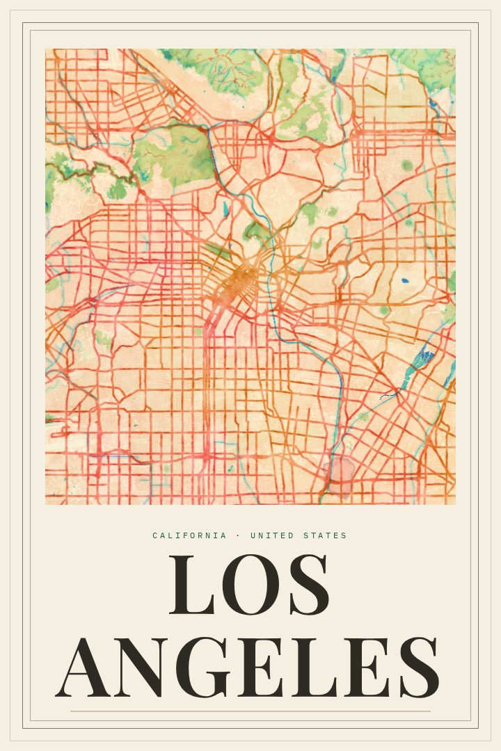
Shown at 16×24" · Archival Matte 250 gsm
Los Angeles City Map Poster
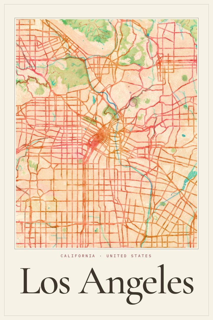
Painted Survey
About this print
Los Angeles map poster
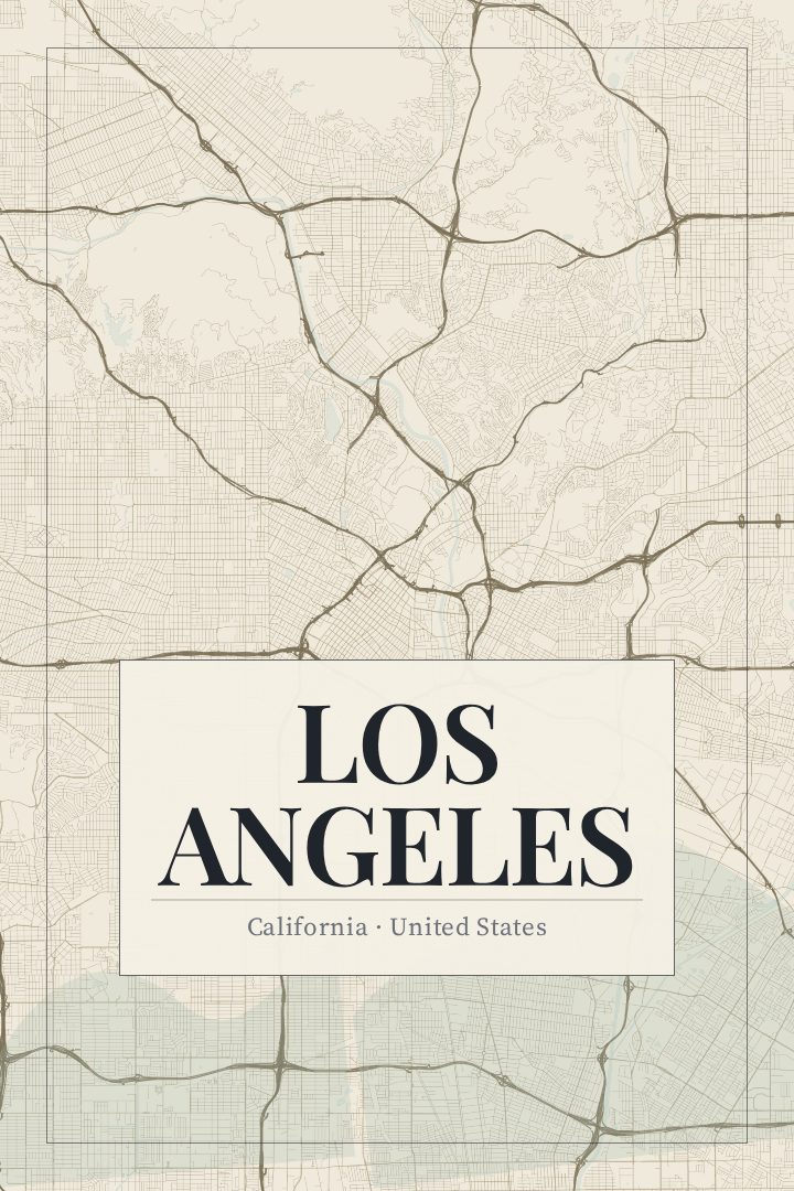
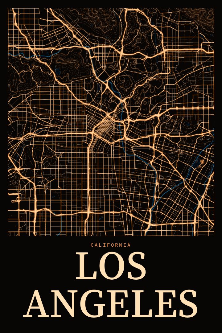
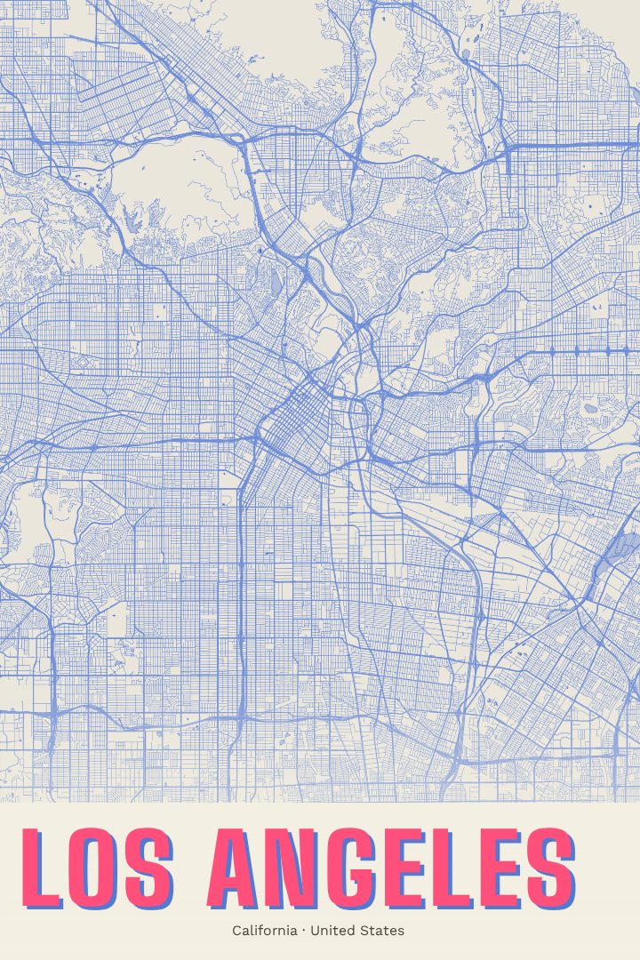
Los Angeles is a city that rarely fits in a single frame. It runs from the beaches of the Pacific coast to the foothills of the San Gabriel Mountains, stitched together by long boulevards and a freeway network that has shaped how millions of people move through Southern California. The streets of downtown, the hills around Griffith Park, the flats of the basin and the canyons that cut through the Santa Monica Mountains all belong to the same sprawling grid, and seeing that grid laid out as a street map shows how much ground the city covers.
This print presents Los Angeles in the Painted Survey style, a visual design that treats a street map as something closer to a painting than a chart. The result is meant to hang on a wall and be looked at, not consulted for directions. It suits anyone with a connection to the city: someone who grew up there, someone who moved away and misses it, or someone who spent a few years learning which routes to avoid at rush hour and which neighborhoods were worth the drive.
As a gift, it works well for a housewarming, a move to or from Southern California, or simply as a reminder of a place that left a mark. In a home office, living room or hallway, it brings a sense of place without relying on a skyline photo or a postcard view. The available sizes and finishes are listed on this page, so the print can be matched to the space where it will hang.
Make a custom map poster of your own routeDid it yourself? Make a poster from your own Strava activity
Route details
- Location
- California, United States
- Collection
- Cityscapes
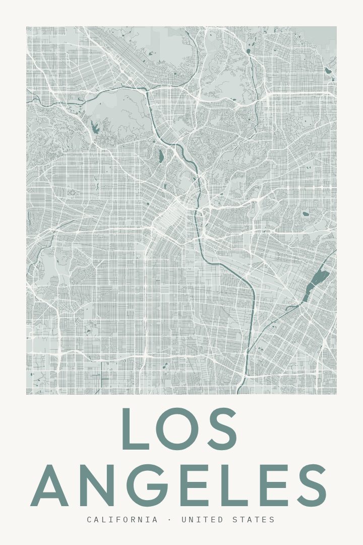
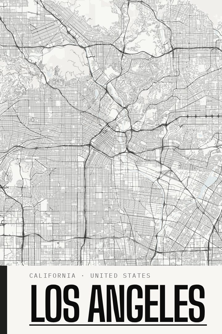
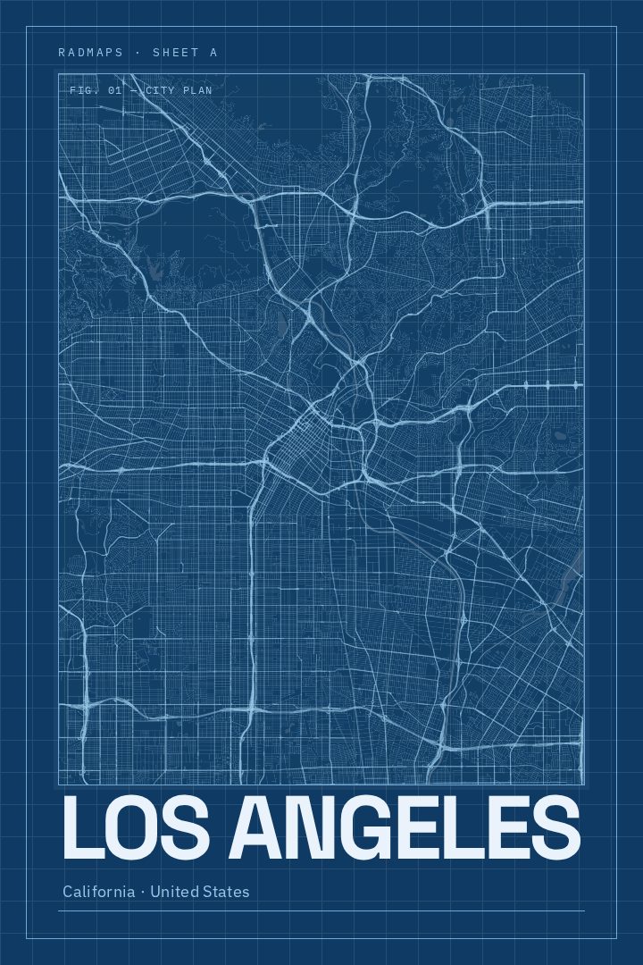
Same city, different style
Los Angeles in every style
You might also like
Related map posters




Part of a collection