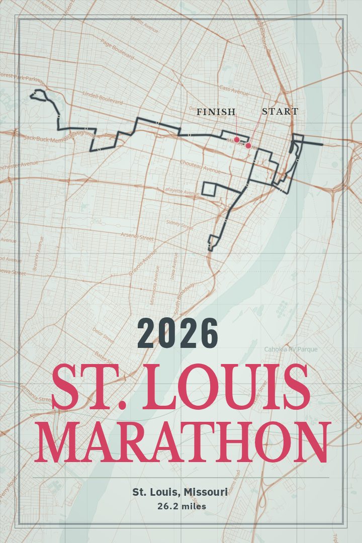
Shown at 16×24" · Archival Matte 250 gsm
St. Louis Marathon Course Map Poster
26.2 mi Course Map • St. Louis, Missouri
Celebrate the St. Louis Marathon with a detailed 26.2 mi course map through St. Louis, Missouri. This gallery-quality route poster turns a Gateway City race day into lasting wall art for runners and finishers.
About this print
St. Louis Marathon map poster
Twenty-six point two miles is a long way to see a city, and St. Louis gives a marathon plenty to work with. The course covers that full distance with roughly 485 feet of climbing, which is enough to make the legs notice without ever turning the day into a hill race. St. Louis is a city of brick and river bluffs, of neighborhoods that each keep their own character, with the Mississippi on one side and the long green of Forest Park on the other. A course map holds all of that in one shape: the loops, the out-and-backs, the turns that only make sense once they have been run.
This print traces the full 26.2-mile route as a single line. For anyone who has finished it, that line carries a lot of specific memory — where the early miles felt too easy, which stretch was quieter than expected, the point where the finish finally seemed close. For someone still training toward it, the same shape works as a reminder on the wall.
It makes sense in a hallway, above a desk, or near the spot where running shoes pile up by the door, and it sits well alongside other race maps from the same runner's years. It is art rather than a navigation tool. Gift-wise, it suits a first marathon, a return after injury, or a finisher who tends not to keep medals out where anyone can see them.
More marathon course map postersDid it yourself? Make a poster from your own Strava activity
Route details
- Course distance
- 26.2 mi
- Elevation gain
- 486 ft
- Location
- St. Louis, Missouri, United States
- Collection
- Marathons, Runs
You might also like