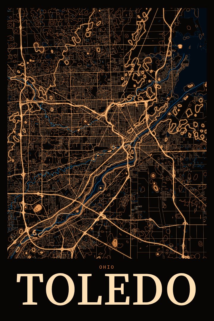
Shown at 16×24" · Archival Matte 250 gsm
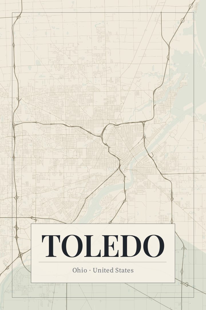
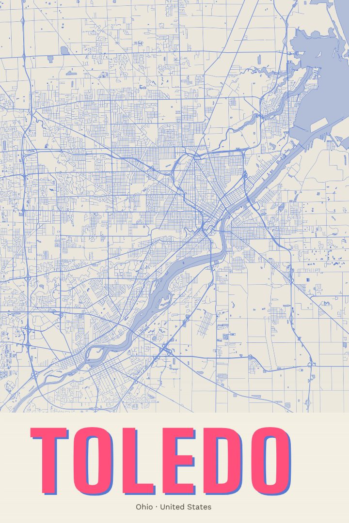
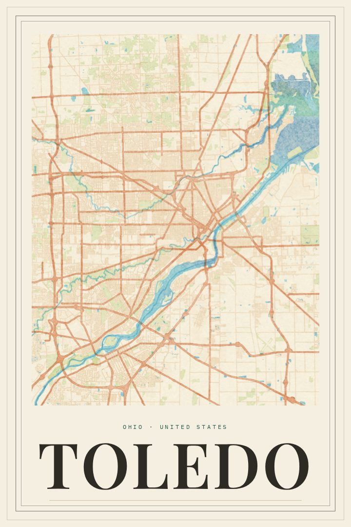
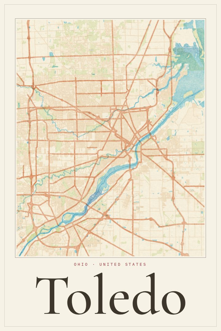
Toledo City Map Poster
Neon Night
About this print
Toledo map poster
Toledo sits where the Maumee River opens toward the western end of Lake Erie, and much of the city's character comes from that meeting of river, lake, and industry. Known as the Glass City for its long history in glassmaking, it is a place of working neighborhoods, old brick, bridges over the river, and a downtown that still carries the weight of its manufacturing past. It is also home to the Toledo Museum of Art, the Toledo Zoo, and the Mud Hens, a minor league team with a following well beyond Ohio.
This print maps Toledo's streets in the Neon Night style, a design that sets the city against a dark ground with bright, glowing lines. The effect suggests a city seen after sundown, when the grid reads as light rather than pavement. It suits a room where the poster can be the brightest thing on the wall, and it works as well in a modern space as it does alongside older furniture and warmer tones.
For someone who grew up in Toledo, went to school there, or moved away and still thinks of the river as home, a street map is a quiet way to keep the place close. The layout of a city holds a lot of personal history: the drive to a first job, the route to a grandparent's house, the walk to a favorite diner. This poster is decorative art rather than a navigation aid, meant to be looked at and remembered by. It also makes a thoughtful gift for anyone with ties to northwest Ohio.
Make a custom map poster of your own routeDid it yourself? Make a poster from your own Strava activity
Route details
- Location
- Ohio, United States
- Collection
- Cityscapes
Same city, different style
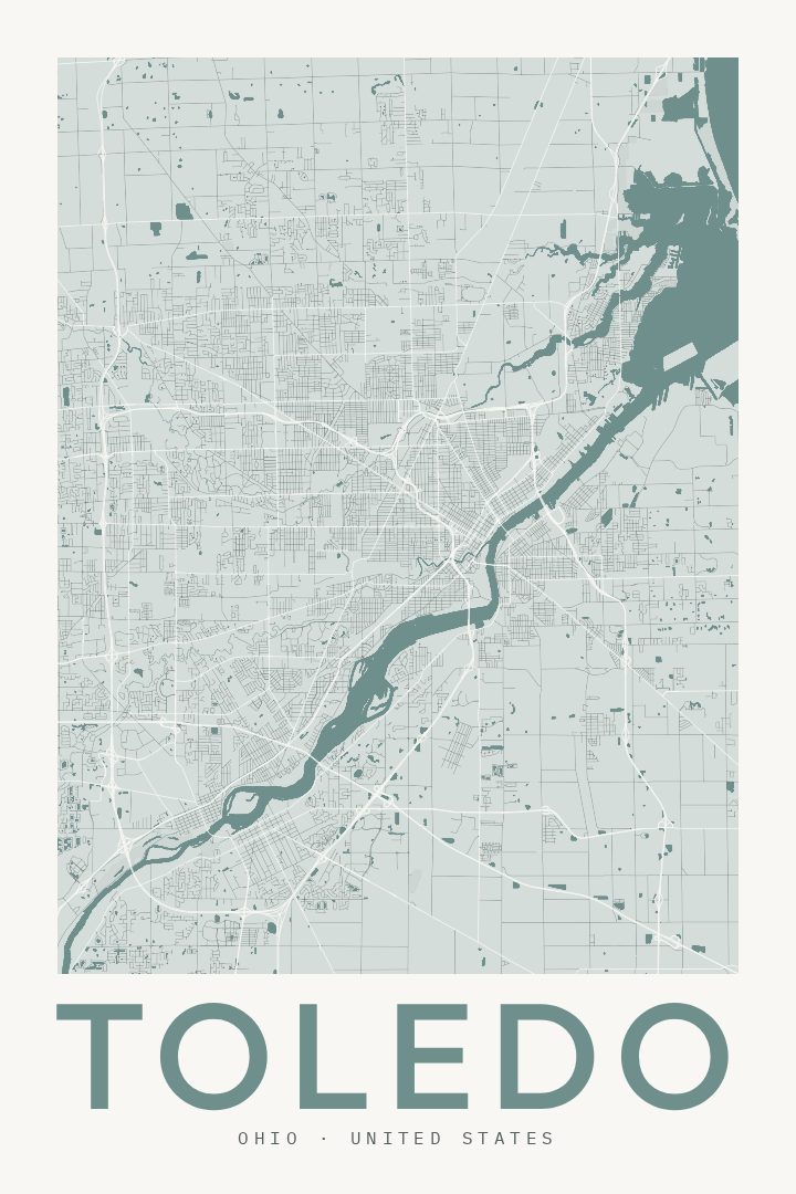
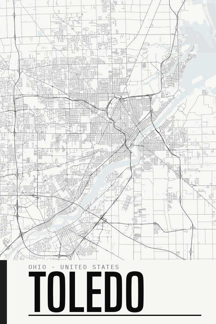
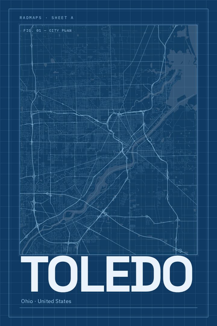
Toledo in every style
You might also like
Related map posters




Part of a collection