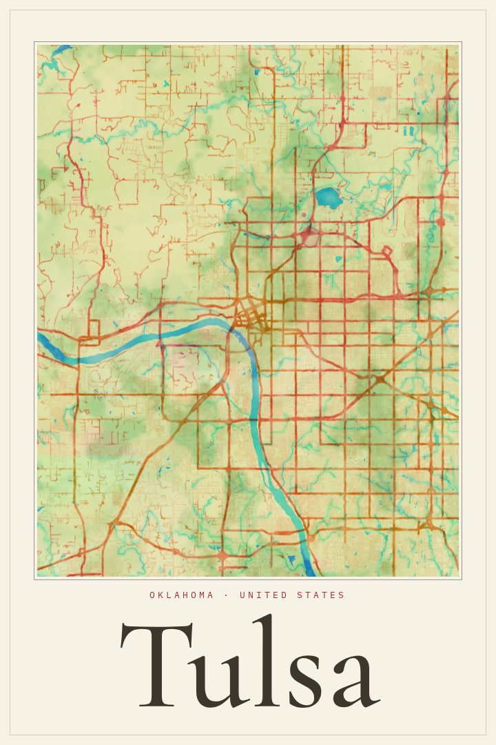
Shown at 16×24" · Archival Matte 250 gsm
Tulsa City Map Poster
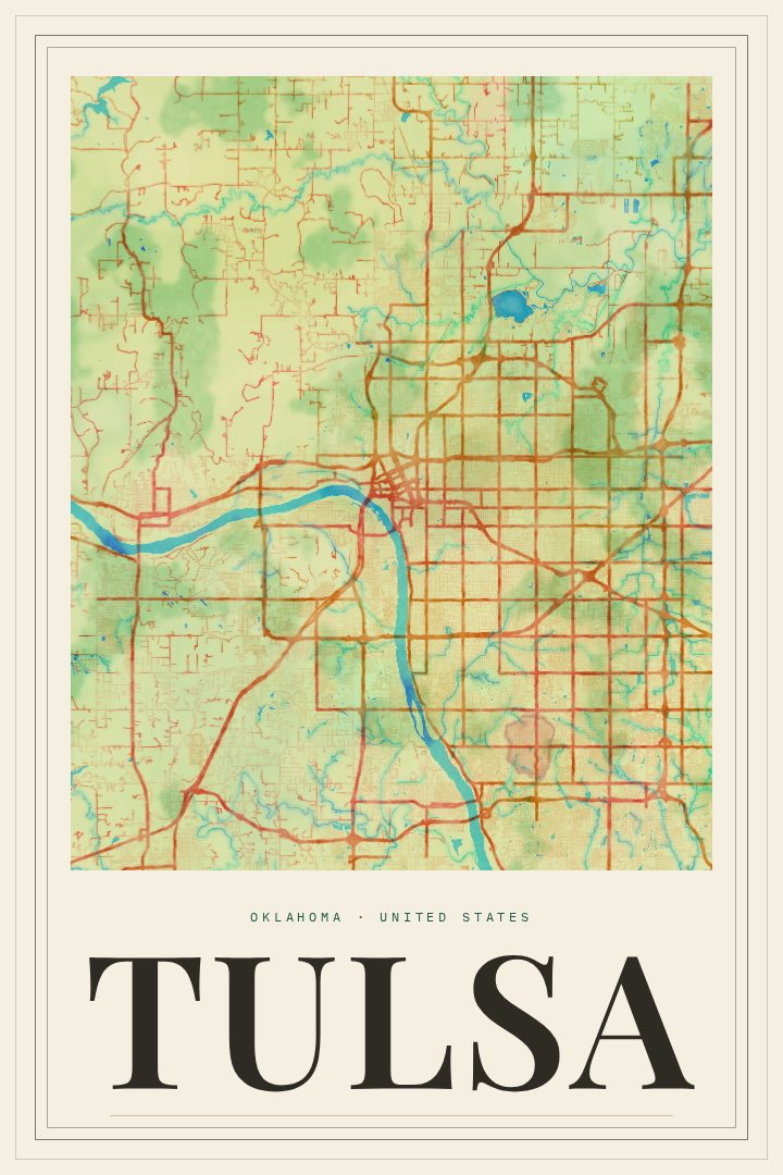
Watercolor
About this print
Tulsa map poster
Tulsa is a city with a strong sense of itself, shaped by the bend of the Arkansas River and a downtown known for one of the country's richest collections of Art Deco architecture. This Watercolor edition renders the street map of Tulsa, Oklahoma in a soft, painterly style, turning a familiar grid into something closer to a keepsake than a reference sheet.
The city's character comes through in its places as much as its streets. There is the energy of the Brady and Blue Dome districts, the riverside paths and parkland that draw people outdoors, and the older residential neighborhoods with their tree-lined blocks. For anyone who grew up in Tulsa, moved there for work or school, or left and still thinks of it as home, a map like this can hold a lot of memory in a small space: a first apartment, a favorite restaurant, the drive to a parent's house.
The Watercolor style suits rooms where a lighter touch feels right, such as a living room, a home office, or a hallway that needs something personal without feeling heavy. It also makes a thoughtful gift for a graduation, a housewarming, or a send-off when someone is leaving Oklahoma for somewhere new. Like every RadMaps print, it is meant as decorative art to enjoy on the wall, not as a tool for finding the way. The available sizes and finishing options are listed on this page.
Make a custom map poster of your own routeDid it yourself? Make a poster from your own Strava activity
Route details
- Location
- Oklahoma, United States
- Collection
- Cityscapes
Same city, different style
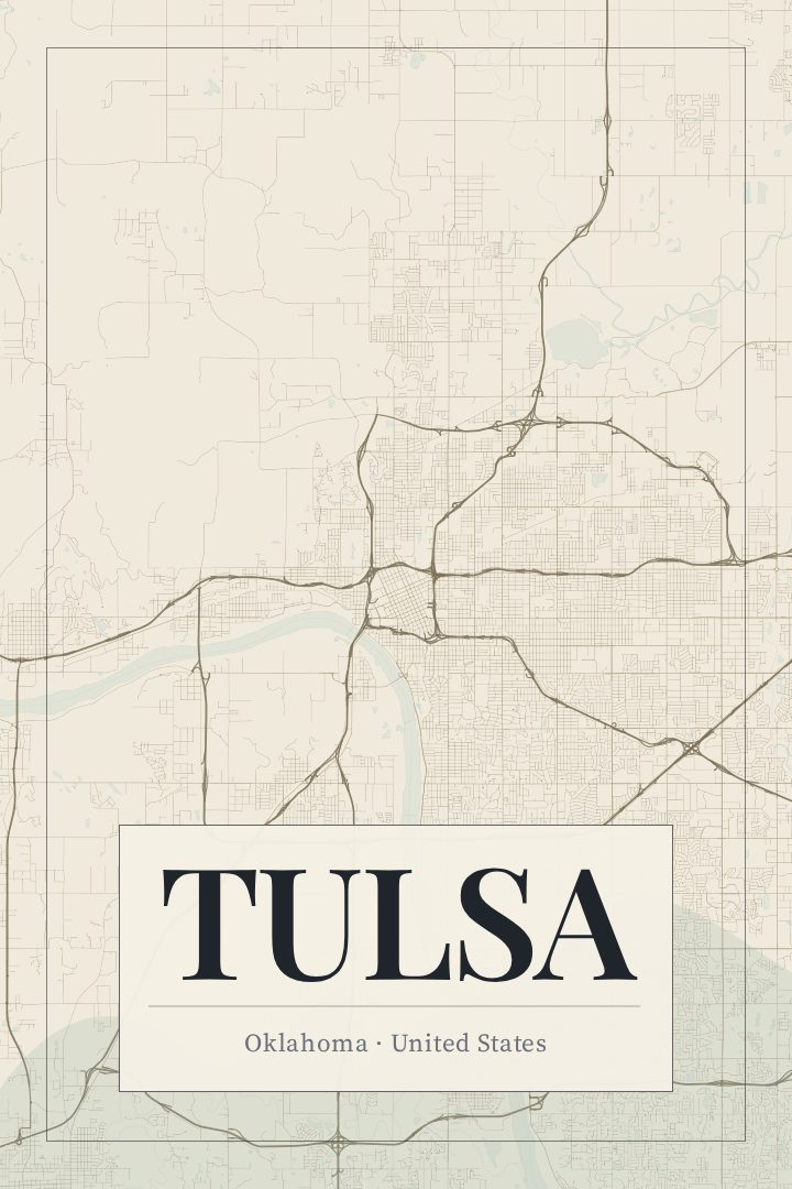
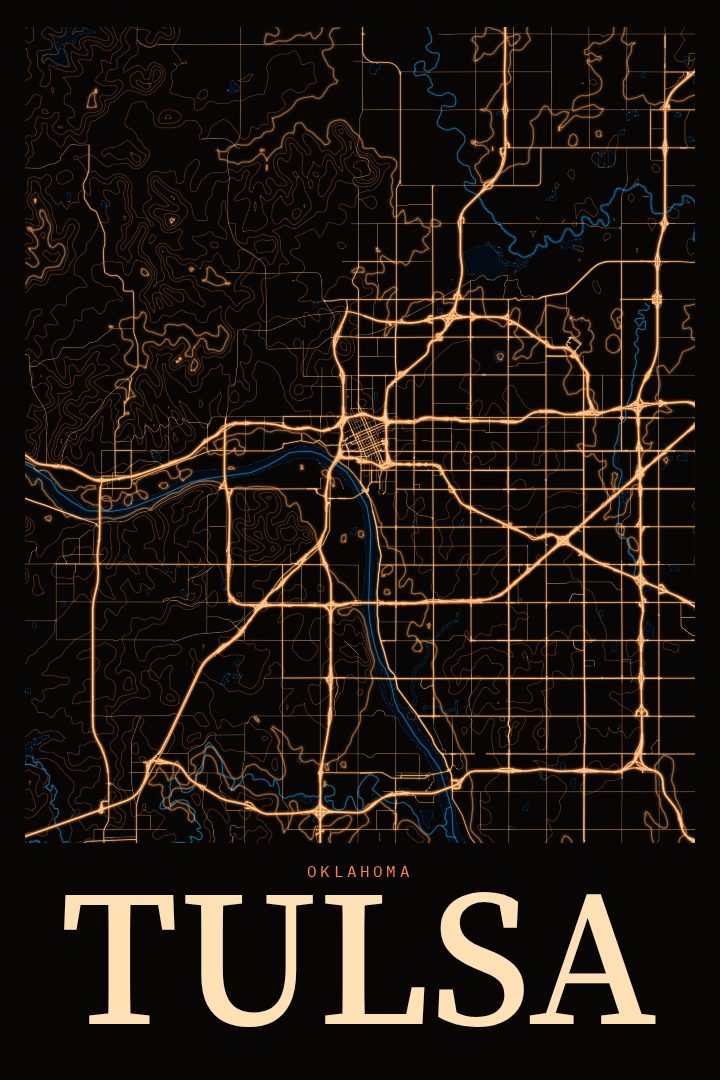
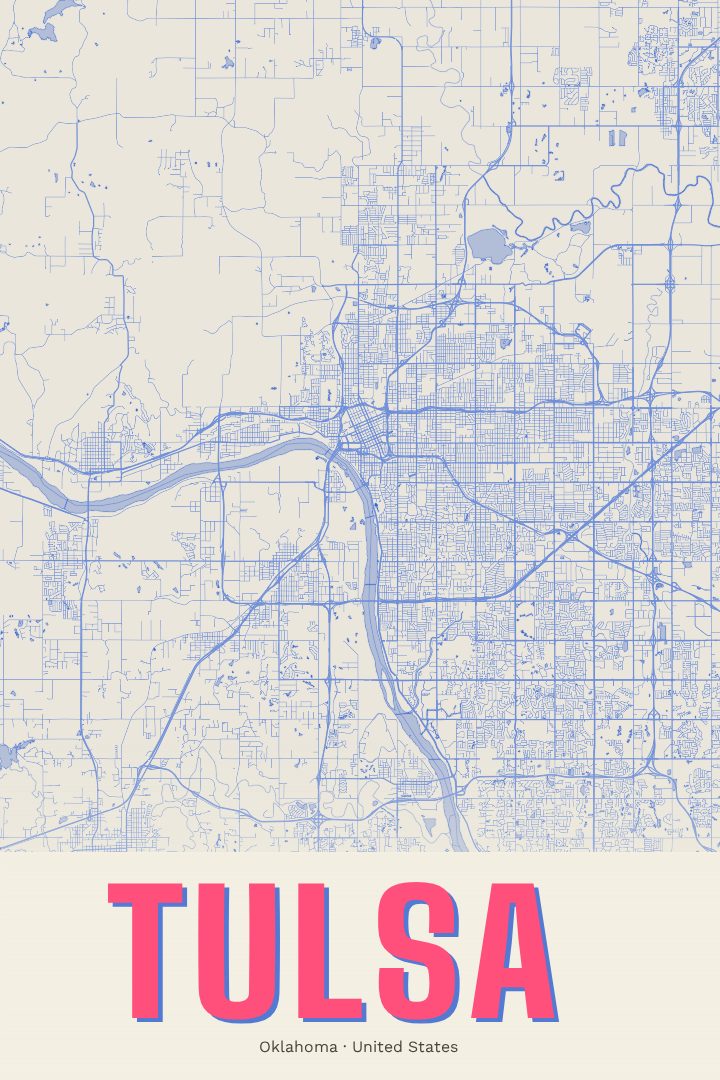
Tulsa in every style
You might also like
Related map posters




Part of a collection