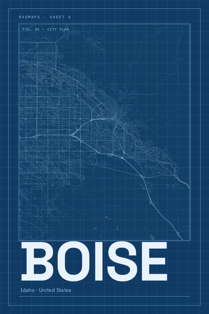
Shown at 16×24" · Archival Matte 250 gsm
Boise City Map Poster
Blueprint
About this print
Boise map poster
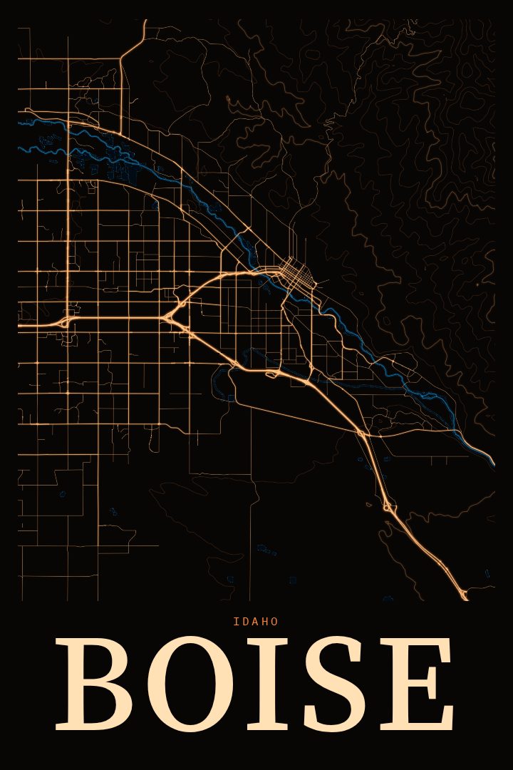
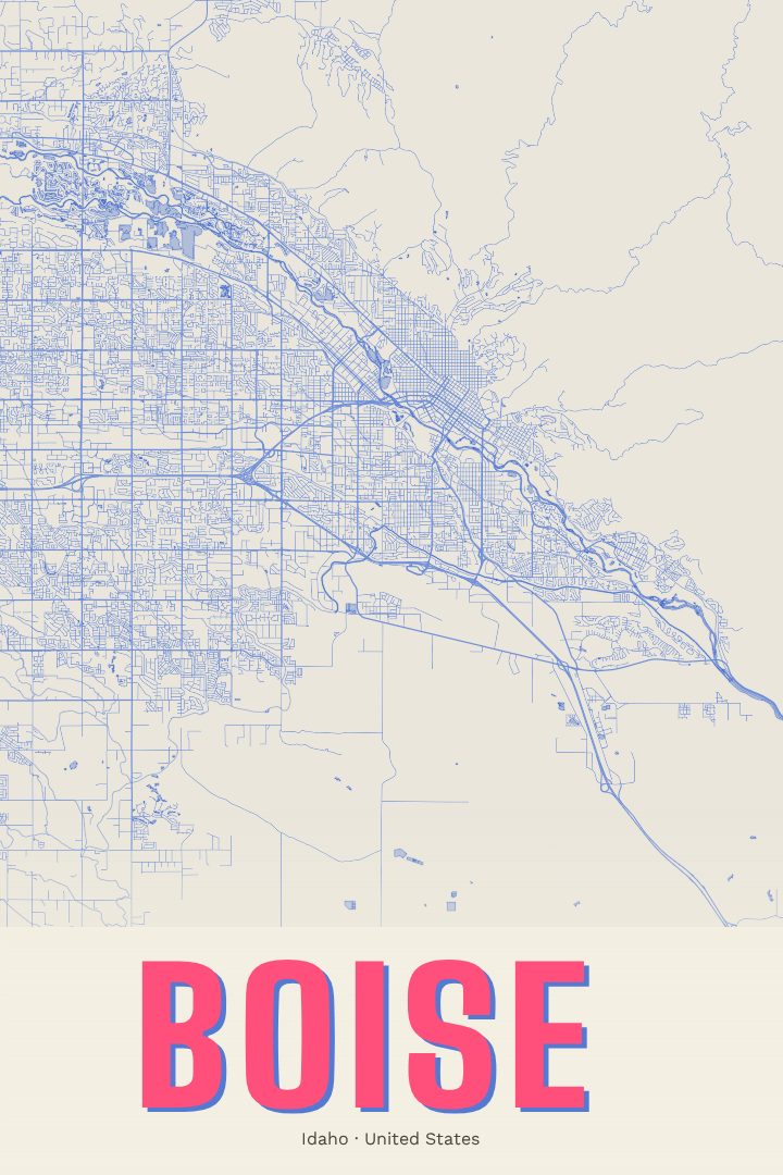
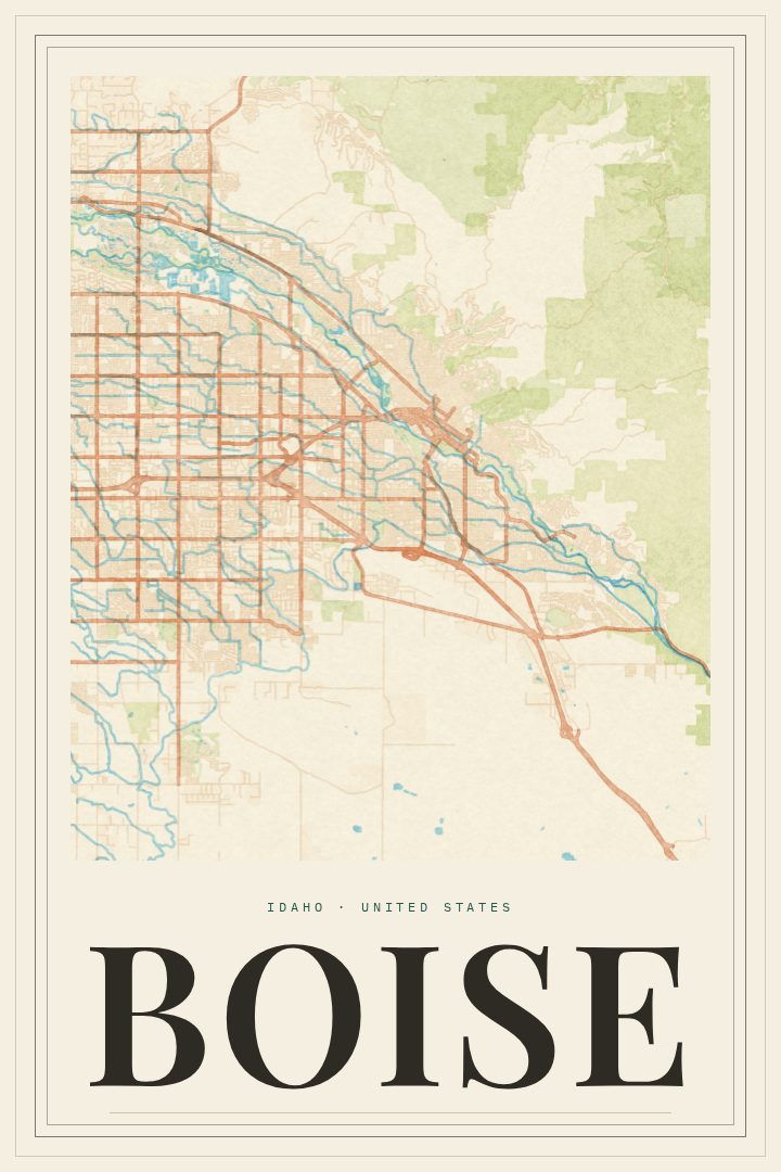
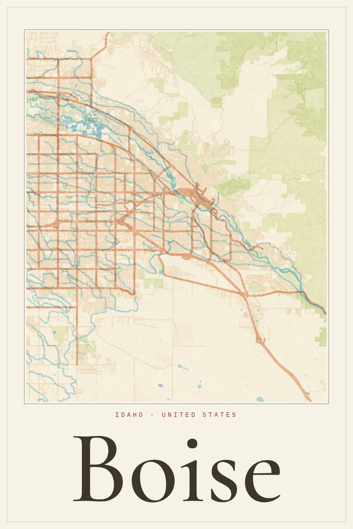
Boise is a city shaped by its river and its foothills. The Boise River runs through the heart of Idaho's capital, lined by the Greenbelt path that locals use for morning runs, bike commutes, and slow summer floats. To the north, the foothills rise quickly from the edge of town, and the trails that wind through them are a short ride from downtown. Between the two sits a compact grid of neighborhoods, the State Capitol, and the Boise State University campus, all close enough that much of daily life happens within a few miles.
This print presents Boise as a street map in the Blueprint style, a clean, technical-looking design that reads well from across a room and holds up to a closer look. It suits a home office, a hallway, or a living room where something with a sense of place feels more personal than generic wall art. Because the style is restrained, it sits comfortably alongside other prints, photographs, or shelves of books without competing for attention.
A city map like this tends to mean the most to people with a real connection to the place: someone who grew up near the river, a Boise State graduate, a family that just moved to the Treasure Valley, or a friend who left Idaho and misses it. It also makes a thoughtful gift for a housewarming or a move away. It is meant as decorative art rather than a guide for getting around, a way to keep a familiar city in view every day.
Make a custom map poster of your own routeDid it yourself? Make a poster from your own Strava activity
Route details
- Location
- Idaho, United States
- Collection
- Cityscapes
Same city, different style
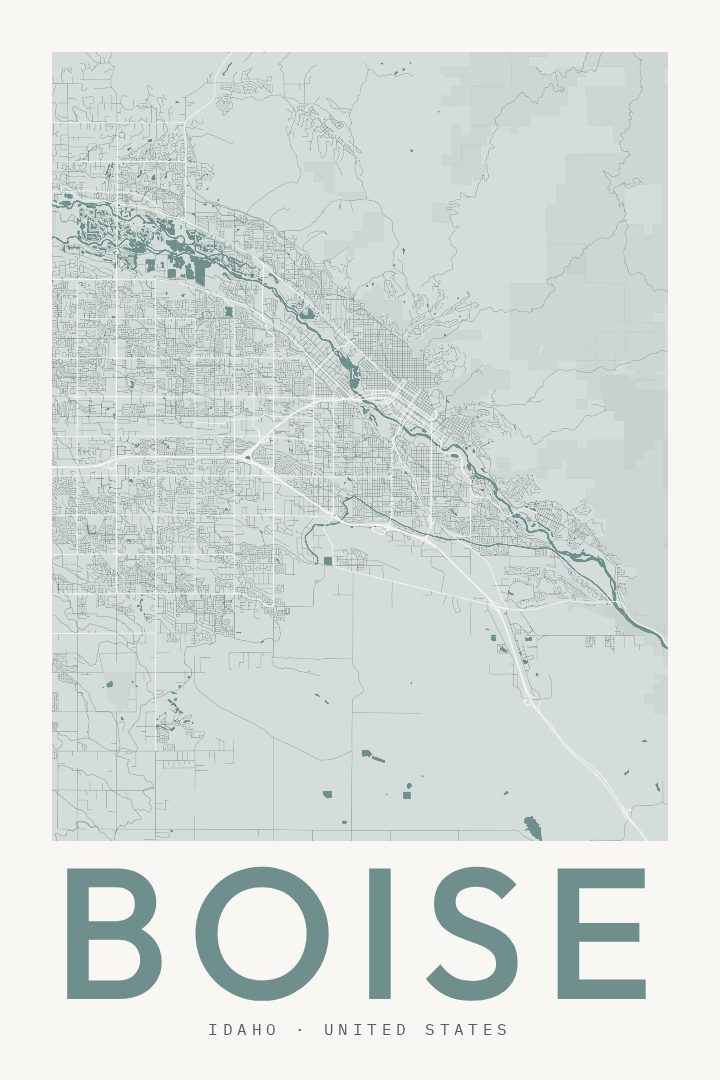
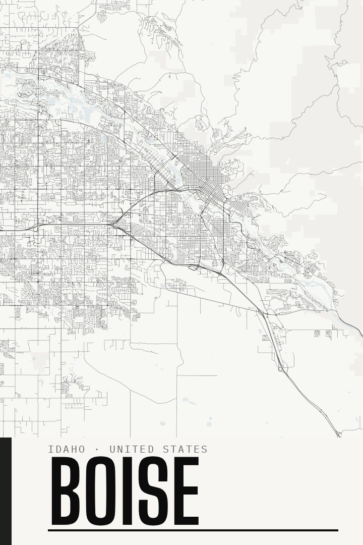
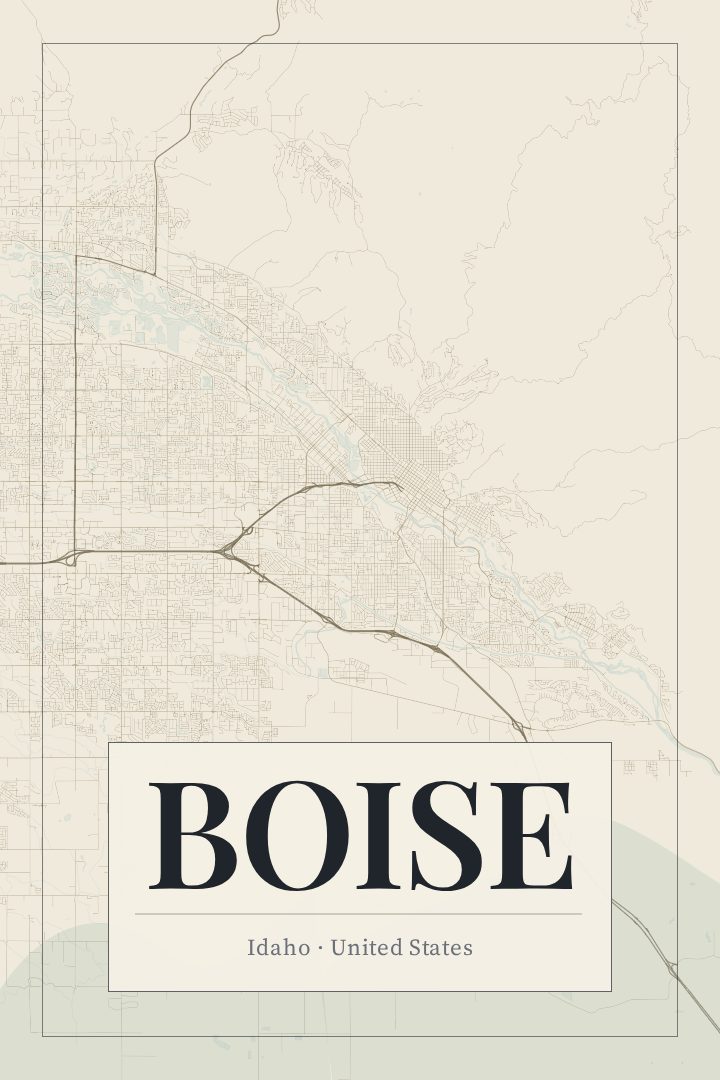
Boise in every style
You might also like
Related map posters




Part of a collection