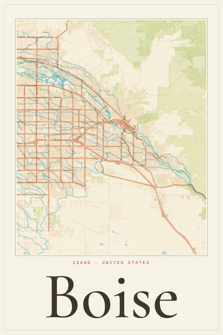
Shown at 16×24" · Archival Matte 250 gsm
Boise City Map Poster
Watercolor
About this print
Boise map poster
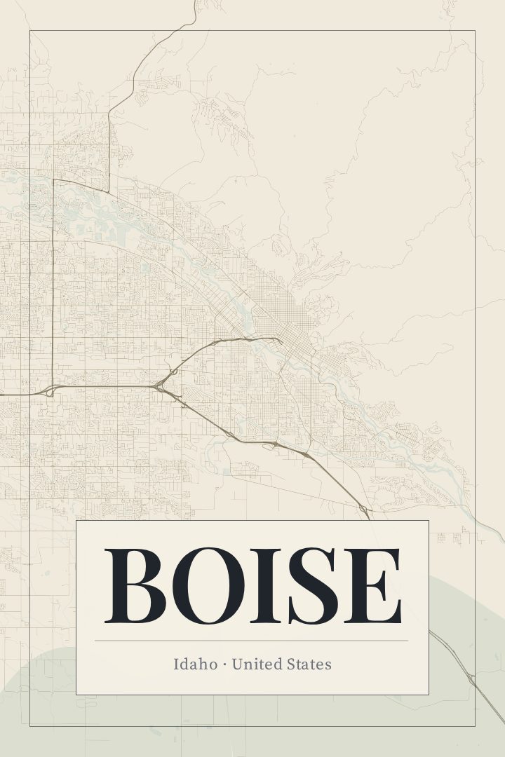
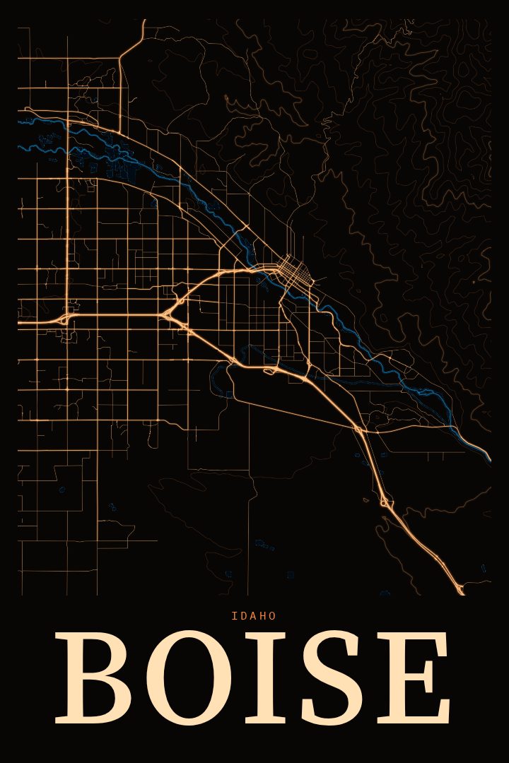
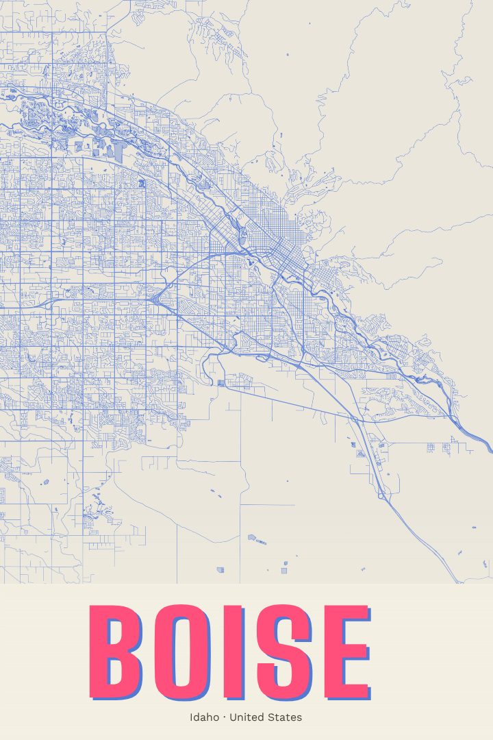
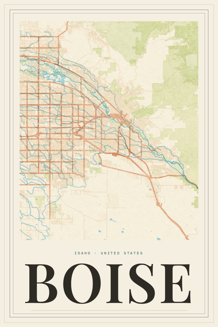
Boise sits where the Boise River leaves the foothills and spreads into the valley, and this print captures the city's street grid in the Watercolor style. Boise is the capital of Idaho, and its downtown grew up close to the river, with the State Capitol building anchoring the core. For anyone who has lived there, studied there, or simply fallen for the place on a visit, a map of its streets is a quiet way to keep the city close.
Much of Boise's character comes from what surrounds the streets. The Greenbelt follows the river through town, giving walkers, runners, and cyclists a long green path within the city. To the north, the foothills rise quickly, and the Boise Foothills trail network draws people out at all hours. Neighborhoods like the North End are known for older homes and tree-lined blocks, while downtown mixes government buildings, restaurants, and a lively evening scene. It is a city where outdoor life and everyday routine overlap more than in most places.
The Watercolor edition gives the map a soft, painterly look, with gentle color and loose edges that suit a living room, a home office, or a hallway gallery wall. It works as a gift for someone heading off to a new city, a reminder of a first apartment, or a nod to a hometown. Like every RadMaps print, it is meant to be enjoyed on the wall as decorative art, not used for finding your way around town.
Make a custom map poster of your own routeDid it yourself? Make a poster from your own Strava activity
Route details
- Location
- Idaho, United States
- Collection
- Cityscapes
Same city, different style
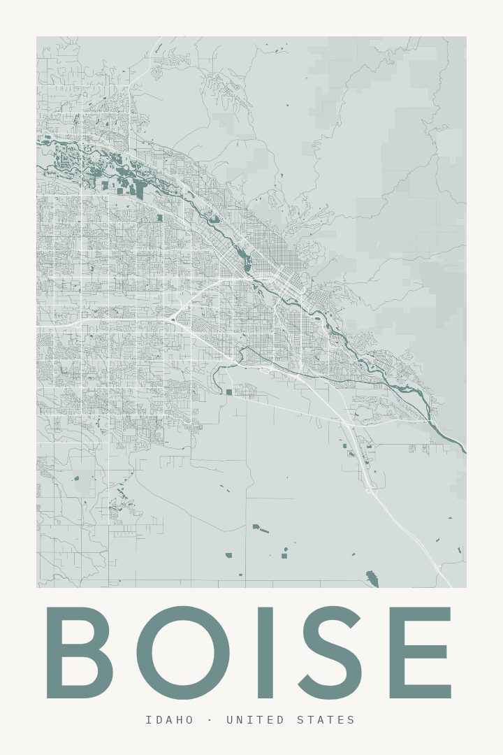
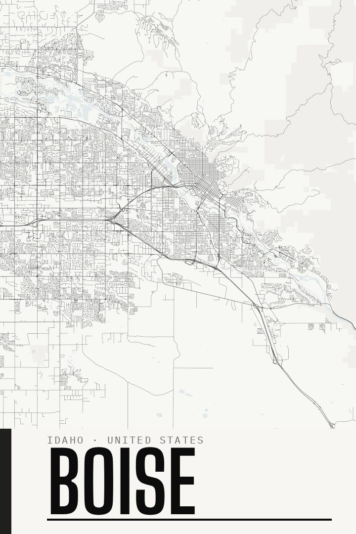
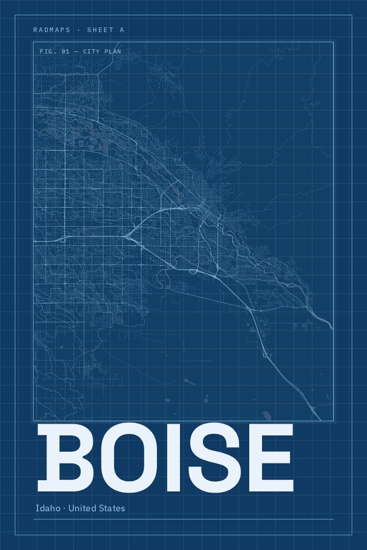
Boise in every style
You might also like
Related map posters




Part of a collection