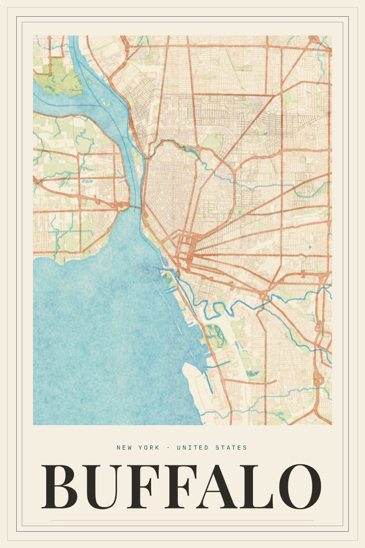
Shown at 16×24" · Archival Matte 250 gsm
Buffalo City Map Poster
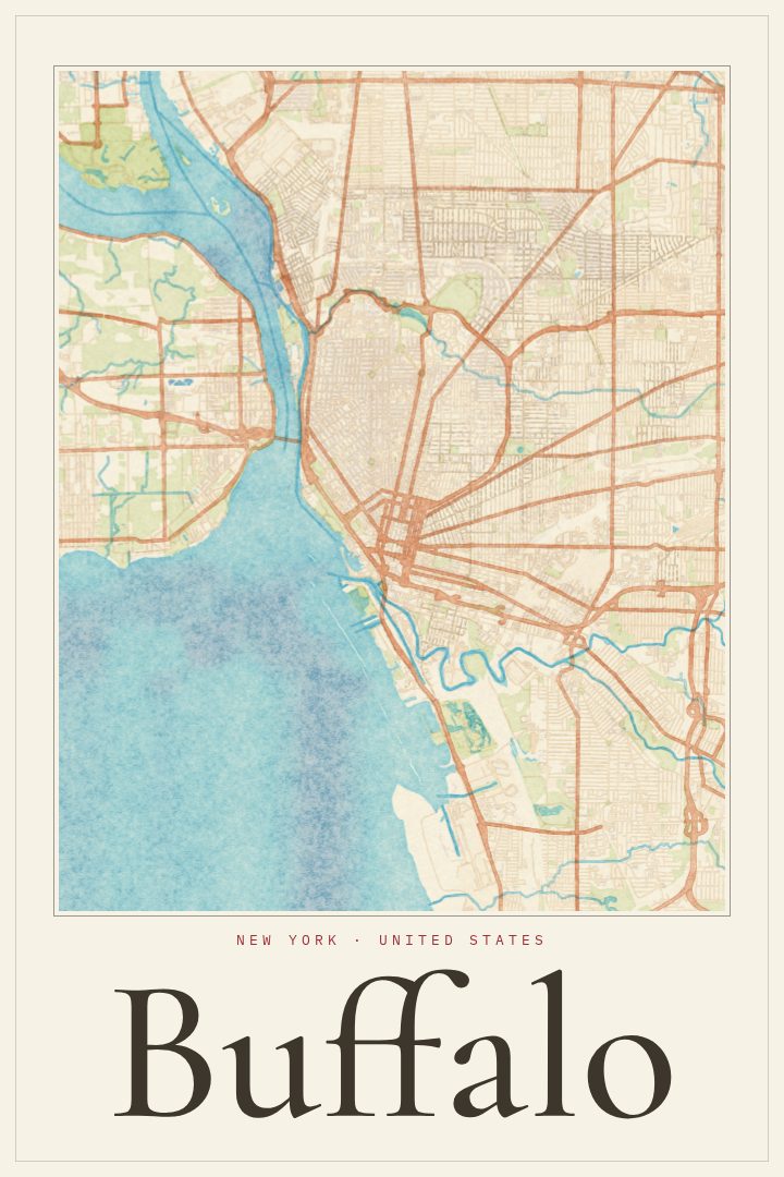
Painted Survey
About this print
Buffalo map poster
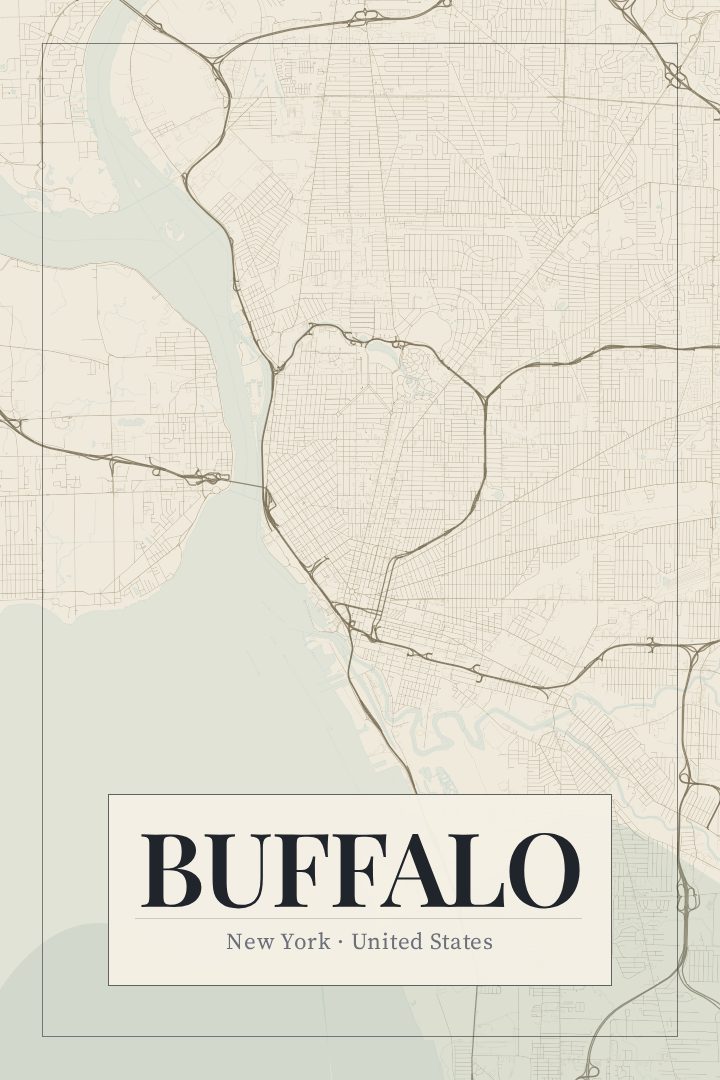
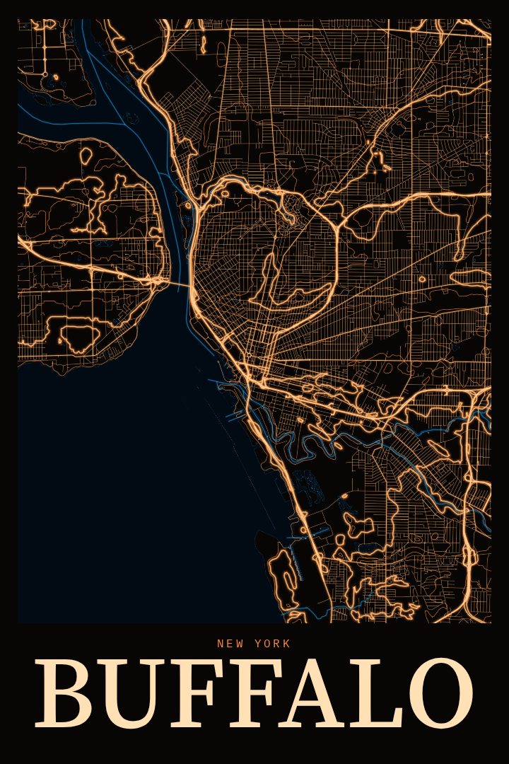
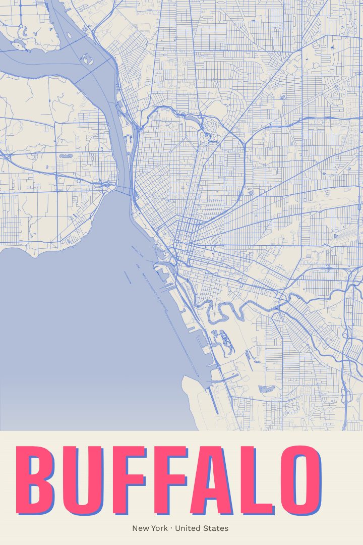
Buffalo is a city built on water and ambition. It sits at the eastern end of Lake Erie, where the Niagara River begins its run north, and it grew into a major port after the Erie Canal opened a route from the Great Lakes to the Atlantic. That history still shapes the place: grain elevators along the waterfront, broad avenues laid out in a radiating plan, and a parkway system designed by Frederick Law Olmsted that threads green space through the neighborhoods. Add the architecture, including works by Frank Lloyd Wright and Louis Sullivan, and Buffalo has a character few American cities can match.
This print maps Buffalo's streets in the Painted Survey style, a visual design that gives the city's grid and curves a soft, hand-touched look while keeping the clarity of a street plan. It is made for the wall, not for finding your way, and it works as decorative art in a living room, office, or hallway where a sense of place matters.
The map suits anyone with a tie to the city: people who grew up there and moved away, those who came for school and stayed, fans who know the sound of a winter game day, or someone who simply loves a city with real grit and good bones. It also makes a thoughtful gift for a new homeowner, a graduate, or a friend who never stops talking about wings, snow, and the lake. Buffalo has always been a city people feel strongly about, and this poster gives that feeling a quiet, lasting spot on the wall.
Make a custom map poster of your own routeDid it yourself? Make a poster from your own Strava activity
Route details
- Location
- New York, United States
- Collection
- Cityscapes
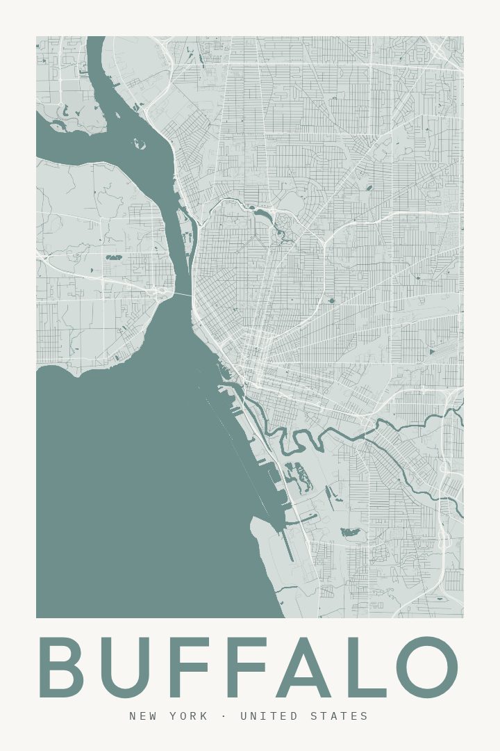
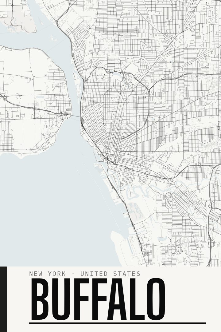
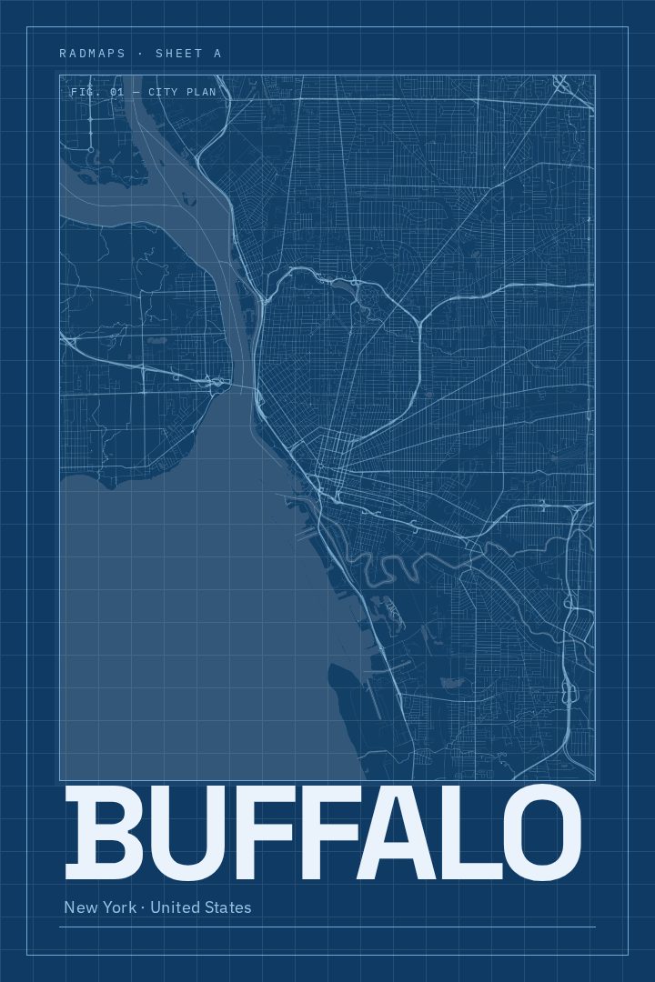
Same city, different style
Buffalo in every style
You might also like
Related map posters




Part of a collection