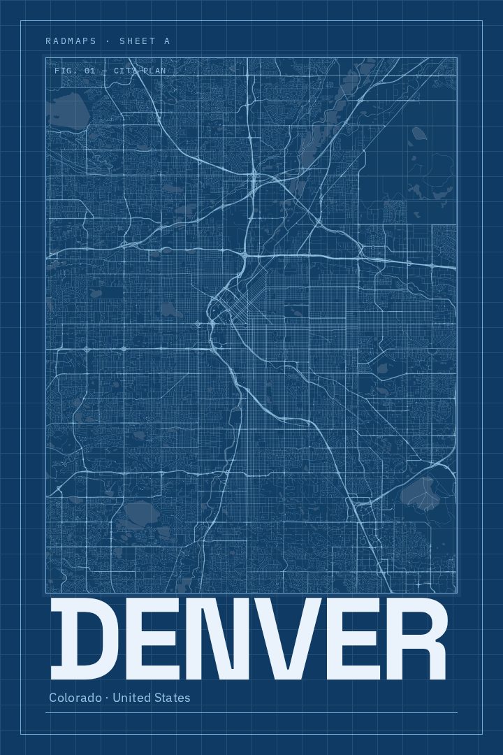
Shown at 16×24" · Archival Matte 250 gsm
Denver City Map Poster
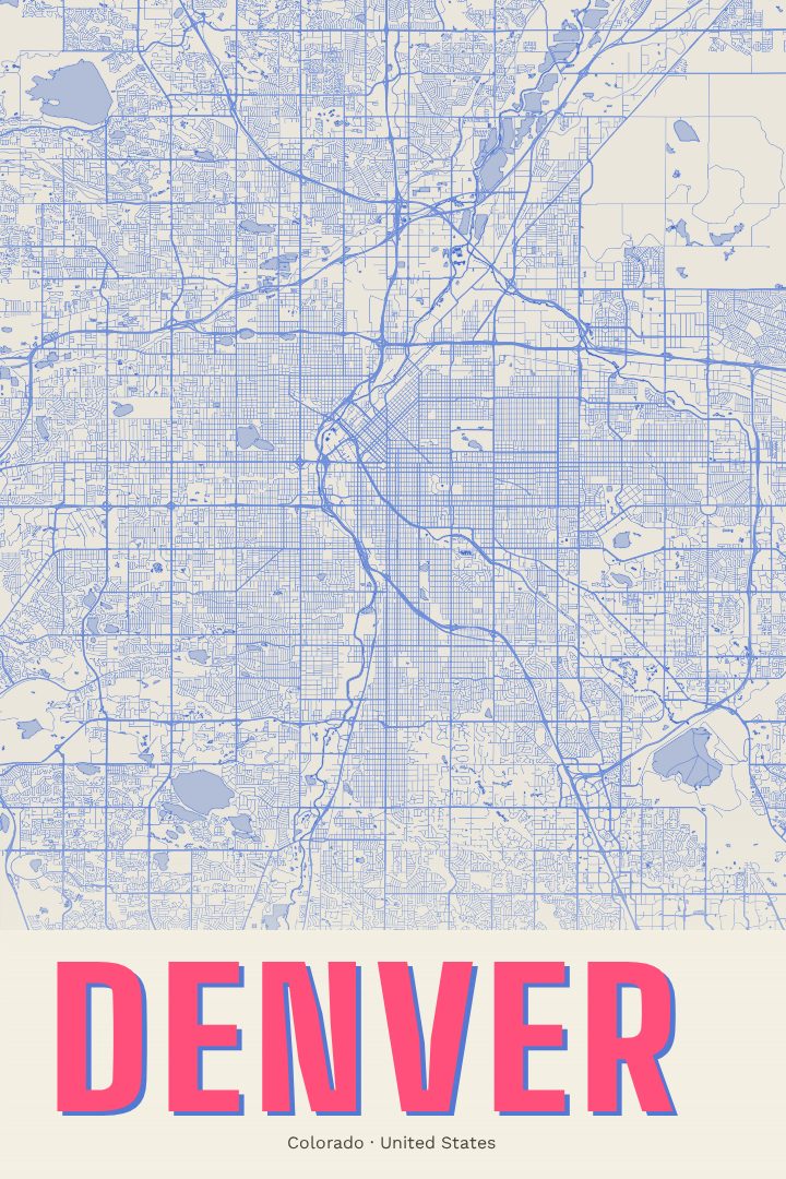
Blueprint
About this print
Denver map poster
Denver sits where the high plains meet the Front Range, a city whose street grid runs right up to the edge of the mountains. Locals know it as the Mile High City, and its neighborhoods carry their own character, from the brick warehouses of LoDo to the tree-lined blocks around Washington Park. The South Platte River and Cherry Creek thread through town, and on a clear day the peaks to the west feel close enough to touch. It is a place people move to for the outdoors and end up staying for the city itself.
This print renders Denver's streets in the Blueprint style, a clean, technical look inspired by drafting sheets and architectural plans. The approach suits a city laid out on a strong grid that bends and shifts where older street patterns meet newer ones, and it gives the map a calm, orderly feel that works in an office, a study, or a living room. The design leans on line and structure rather than ornament, so it sits comfortably alongside other art without competing for attention.
A Denver street map makes a thoughtful gift for someone who just bought their first home in the city, a graduate heading off after years in Colorado, or a transplant who wants a reminder of where things began. It also works for anyone who simply likes the shape of the place and wants it on the wall. As with every RadMaps poster, it is meant as decorative art to enjoy, not a map for finding the way around town.
Make a custom map poster of your own routeDid it yourself? Make a poster from your own Strava activity
Route details
- Location
- Colorado, United States
- Collection
- Cityscapes
Same city, different style
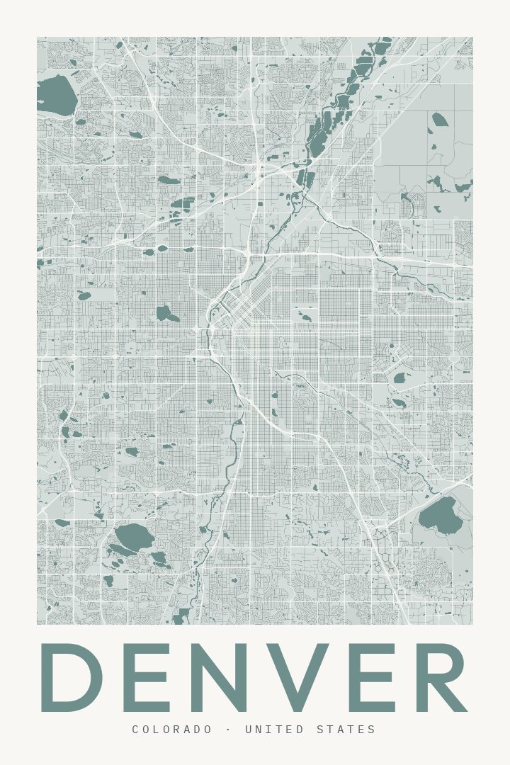
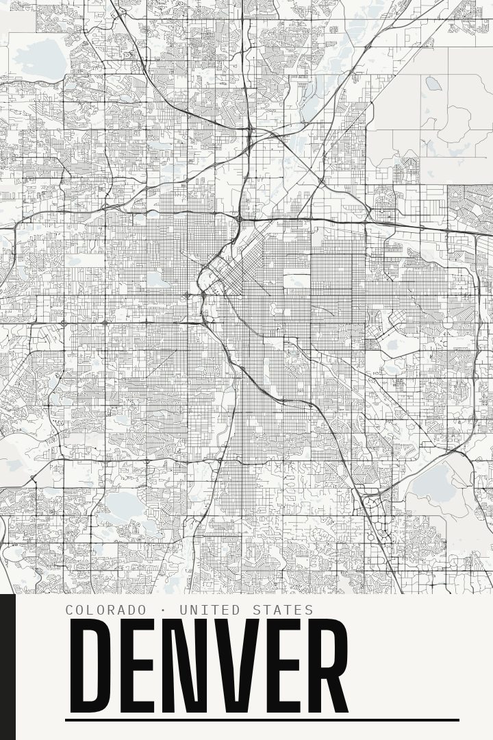
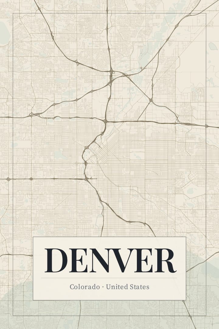
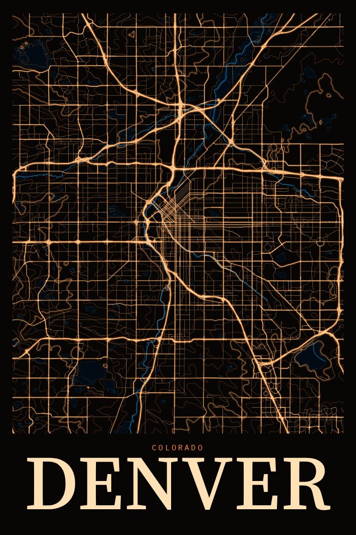
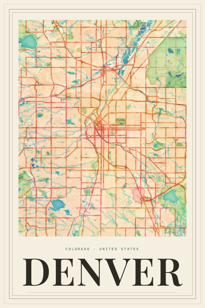
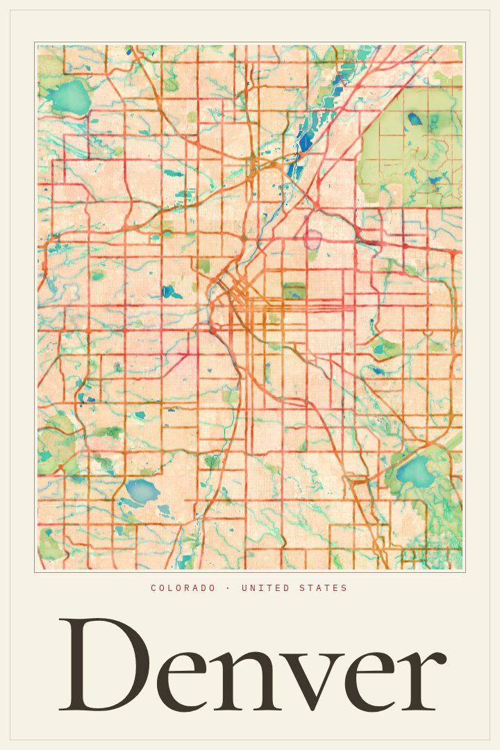
Denver in every style
You might also like
Related map posters




Part of a collection