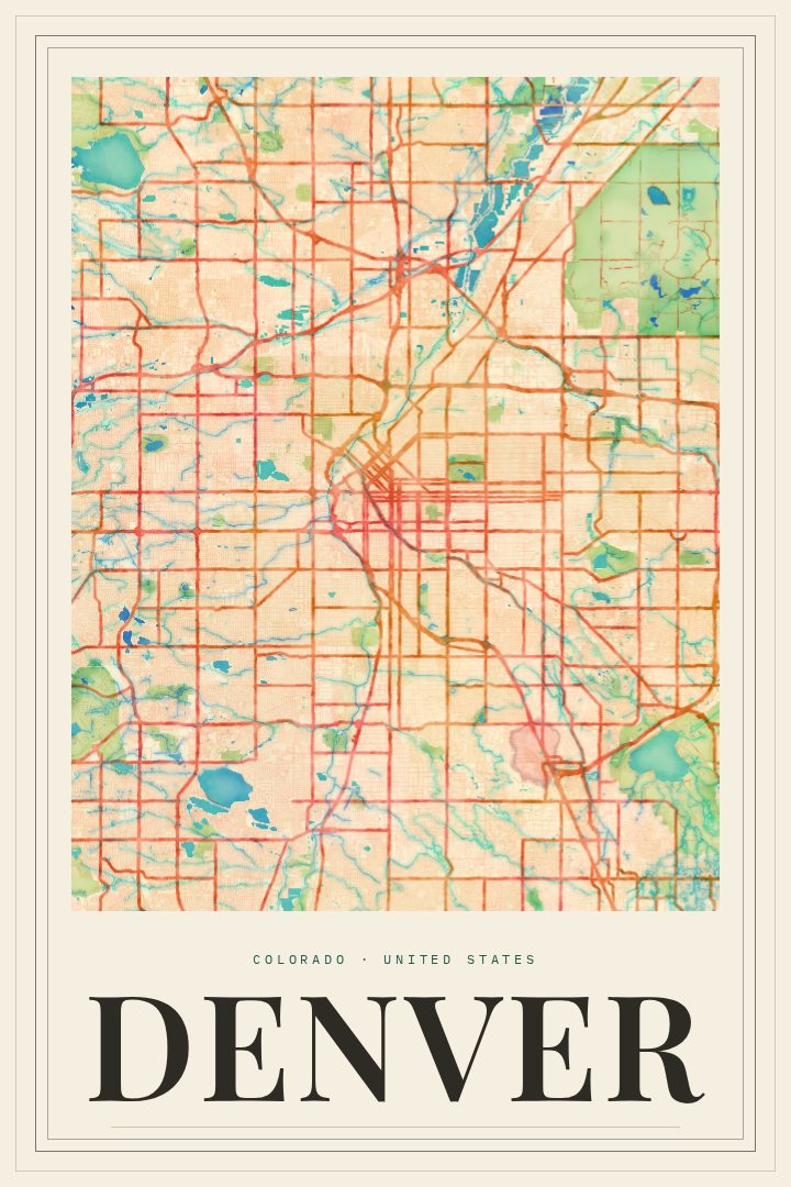
Shown at 16×24" · Archival Matte 250 gsm
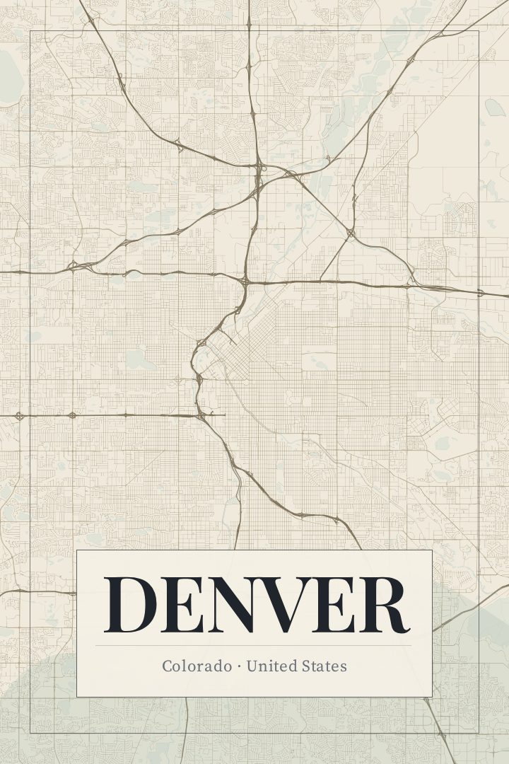
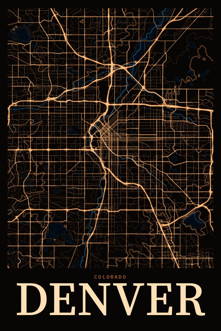
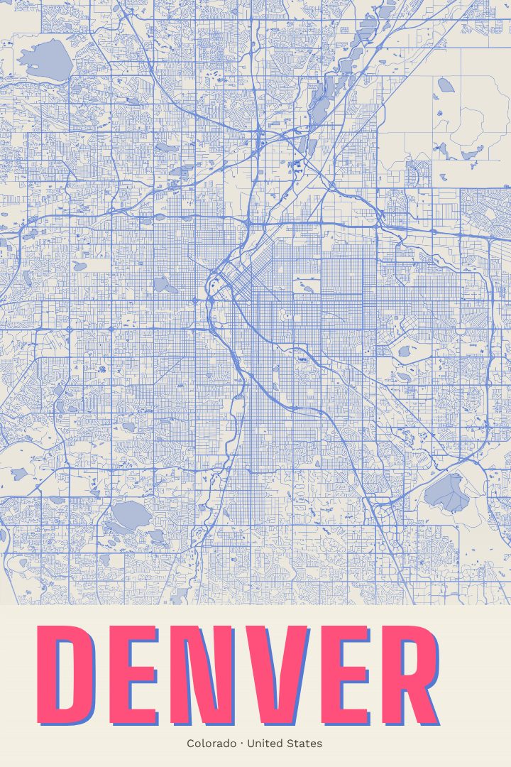
Denver City Map Poster
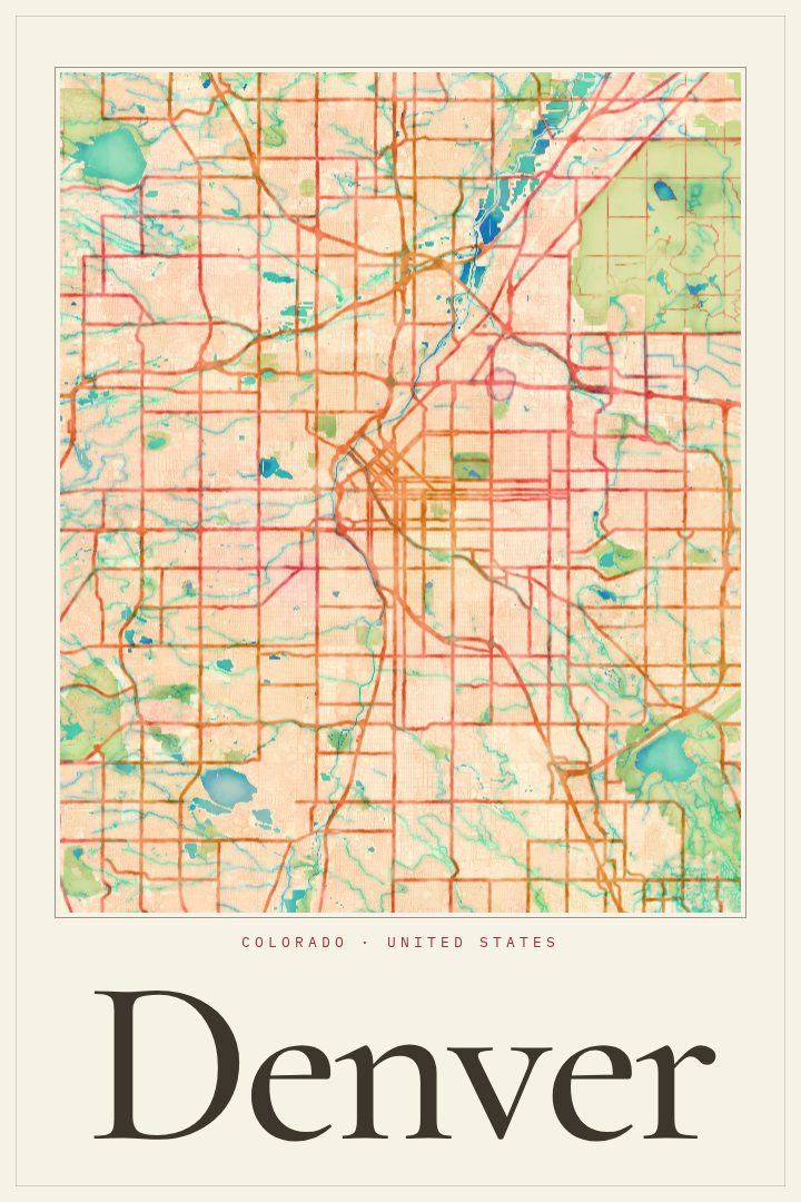
Painted Survey
About this print
Denver map poster
Denver sits where the Great Plains meet the Front Range, a city laid out on high, open ground with the Rocky Mountains rising to the west. Its streets carry the history of a gold-rush settlement that grew into the capital of Colorado, from the older blocks near the confluence of Cherry Creek and the South Platte River to the neighborhoods that spread outward across the plains. This poster renders Denver's street map in the Painted Survey style, a visual design that gives the city's grid a soft, painterly character while keeping the clarity of a map.
For people who live in Denver, a street map is a way to see the whole of a place that is usually experienced one commute, one park, or one neighborhood at a time. For those who have moved away, it can be a quiet reminder of the Mile High City: the light, the mountain views on a clear morning, the long walks and bike rides along the creek paths. It also makes a thoughtful gift for someone who just signed a lease, bought a first home, or finished school there.
The Painted Survey style suits rooms where a city map should feel warm rather than technical, such as a living room, a home office, or an entryway. It pairs well with other cityscape prints for anyone building a wall of places that matter to them. Like every RadMaps poster, it is meant as decorative art to enjoy on the wall, not as a guide for getting around town.
Make a custom map poster of your own routeDid it yourself? Make a poster from your own Strava activity
Route details
- Location
- Colorado, United States
- Collection
- Cityscapes
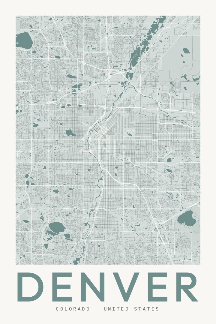
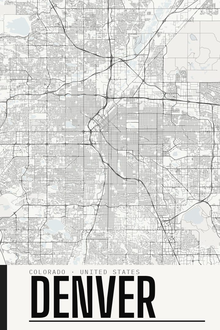
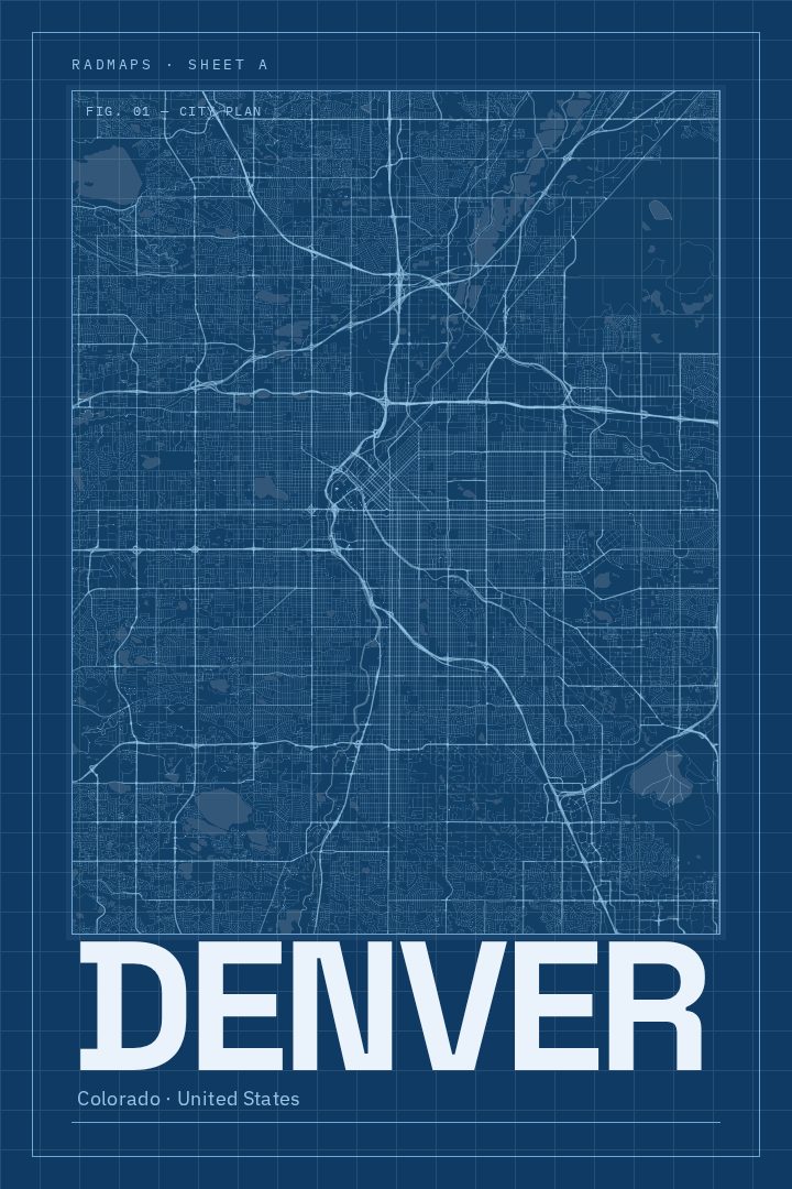
Same city, different style
Denver in every style
You might also like
Related map posters




Part of a collection