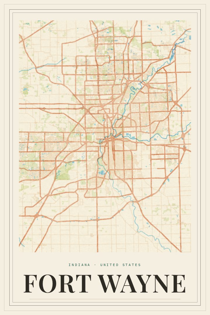
Shown at 16×24" · Archival Matte 250 gsm
Fort Wayne City Map Poster
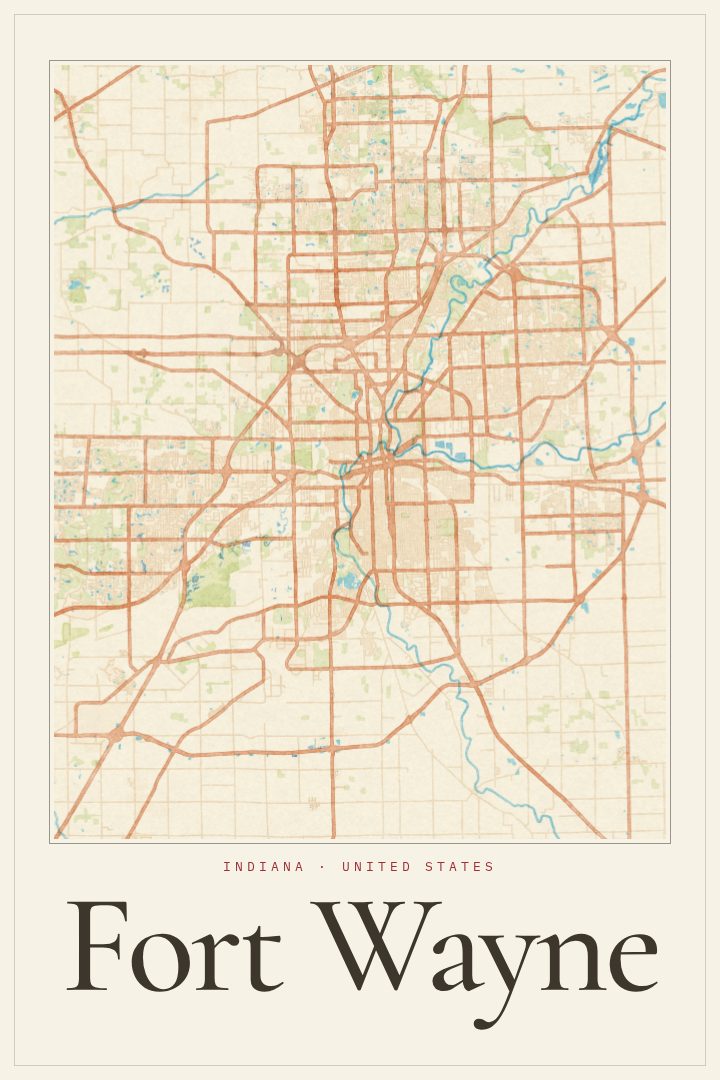
Painted Survey
About this print
Fort Wayne map poster
Fort Wayne sits in northeast Indiana where the St. Joseph and St. Marys rivers come together to form the Maumee. Long before the city had a grid, those rivers made the spot a natural meeting point, and the town that grew there still carries that history in the way it bends around the water. Known as the Summit City, Fort Wayne is the second-largest city in Indiana. It mixes older brick neighborhoods and a revitalized downtown with the parks and trails that follow its riverbanks.
This poster presents Fort Wayne's street map in the Painted Survey style, a design that gives the familiar layout of a city a softer, more expressive character than a standard road map. The result reads first as a piece of art and second as a place, which makes it easy to live with on a wall for years. It suits a hallway, a home office, or a living room where a little local pride feels right.
The print makes a thoughtful gift for someone who grew up in Fort Wayne, moved away, and still talks about it. It also fits someone who just bought a first house there or spent formative years in the area. For longtime residents, it is a quiet way to mark where home is. Like every RadMaps print, it is meant as decoration rather than a guide for getting around, so it belongs on the wall, not in the glovebox.
Make a custom map poster of your own routeDid it yourself? Make a poster from your own Strava activity
Route details
- Location
- Indiana, United States
- Collection
- Cityscapes
Same city, different style
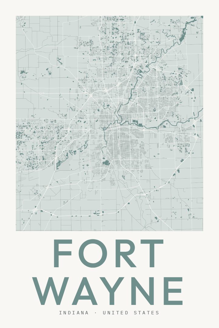
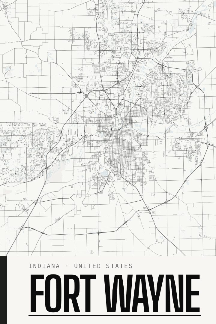
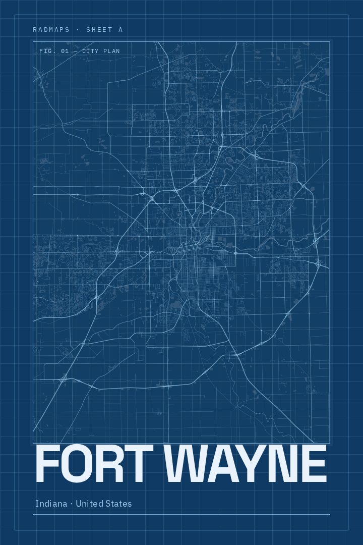
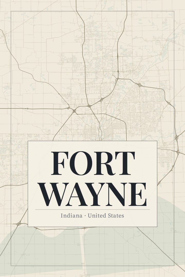
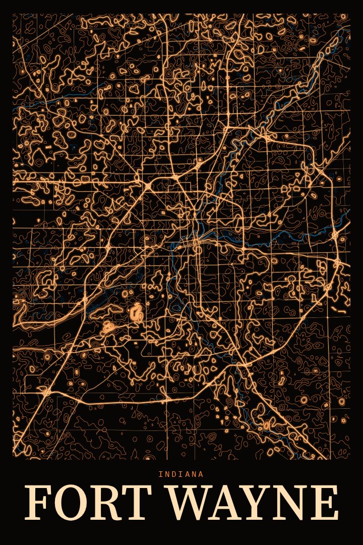
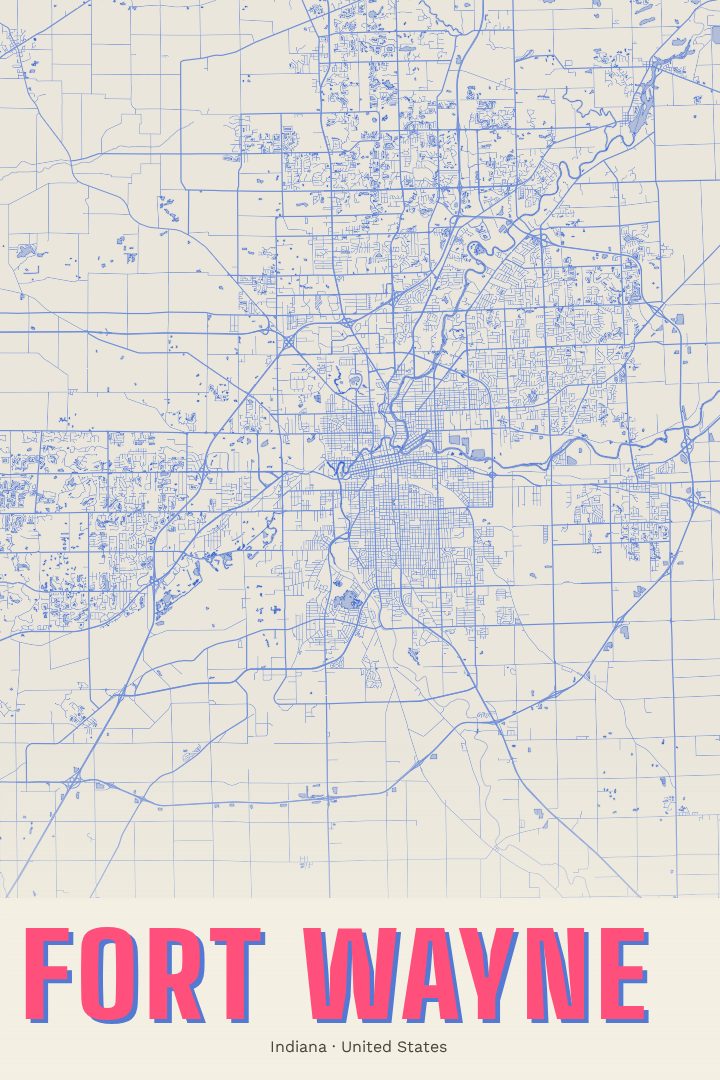
Fort Wayne in every style
You might also like
Related map posters




Part of a collection