Shown at 16×24" · Archival Matte 250 gsm
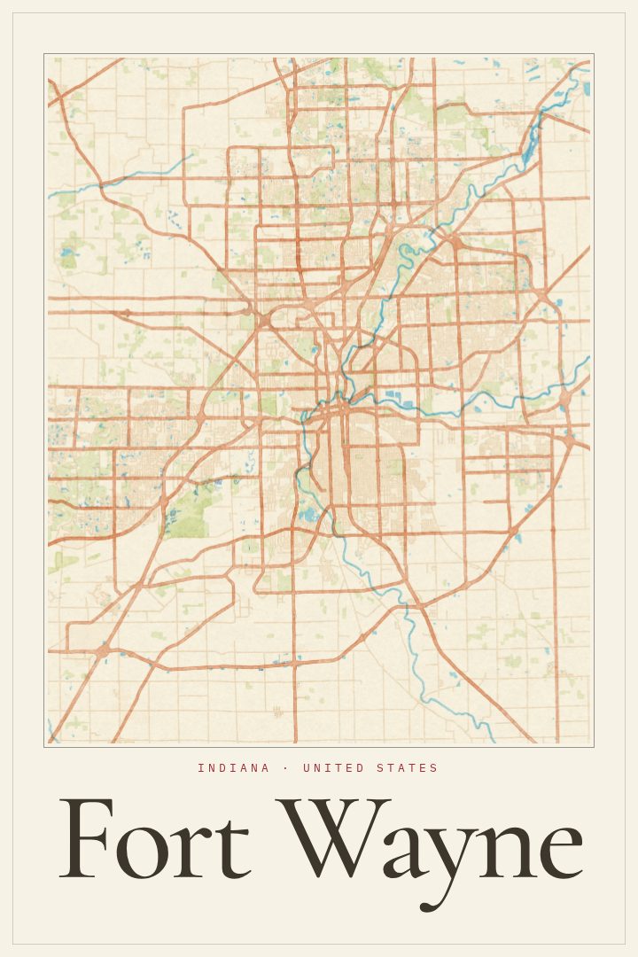
Fort Wayne City Map Poster
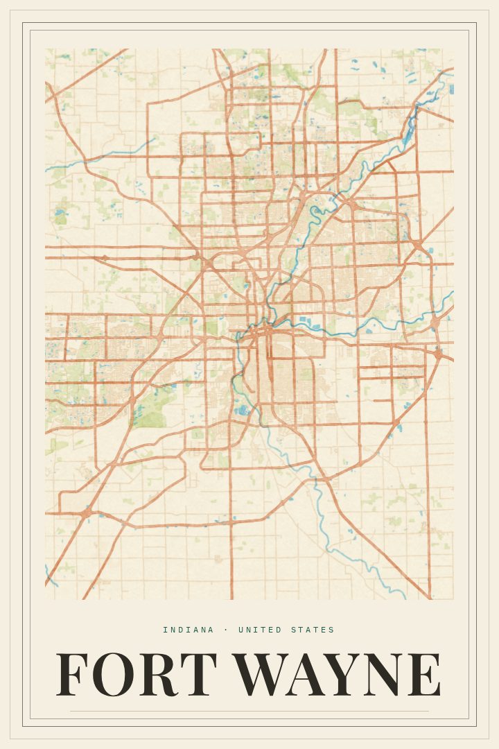
Watercolor
About this print
Fort Wayne map poster
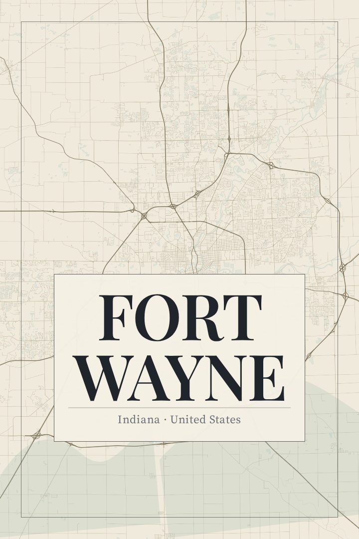
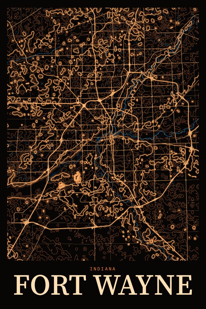
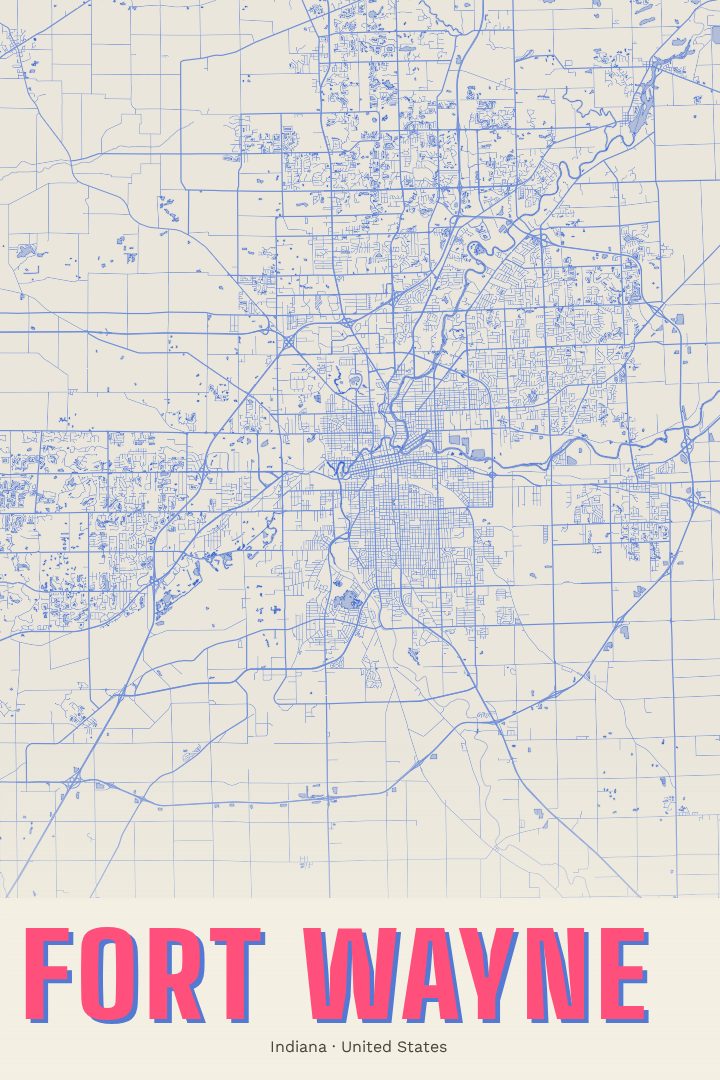
Fort Wayne grew up where the St. Joseph and St. Marys rivers meet to form the Maumee, and that meeting of waters still shapes the city today. It is the second-largest city in Indiana and the anchor of the state's northeast corner, a place of brick downtown blocks, riverside parks, older neighborhoods with tree-lined streets, and the newer grid that spreads outward toward farm country. For anyone who grew up here, moved here for work, or left and still calls it home, the street pattern carries a lot of memory: the drive downtown, the route to a first apartment, the roads that lead back to family.
This print renders Fort Wayne's street map in the Watercolor style, a design with a soft, painterly look that keeps the city's layout readable while giving it a gentler, more relaxed feel than a standard map. The result sits comfortably in a living room, a home office, or a hallway, and works well alongside photographs or other artwork without competing for attention. It is meant as decorative art rather than a navigation aid, a way to keep a familiar place in view.
A Fort Wayne map also makes a thoughtful gift: for a graduate heading off somewhere new, a couple buying their first house in the city, or a friend who moved away and misses the rivers and the neighborhoods they knew. It is a quiet, personal way to mark a connection to northeast Indiana. The available options for this print are listed on the page.
Make a custom map poster of your own routeDid it yourself? Make a poster from your own Strava activity
Route details
- Location
- Indiana, United States
- Collection
- Cityscapes
Same city, different style
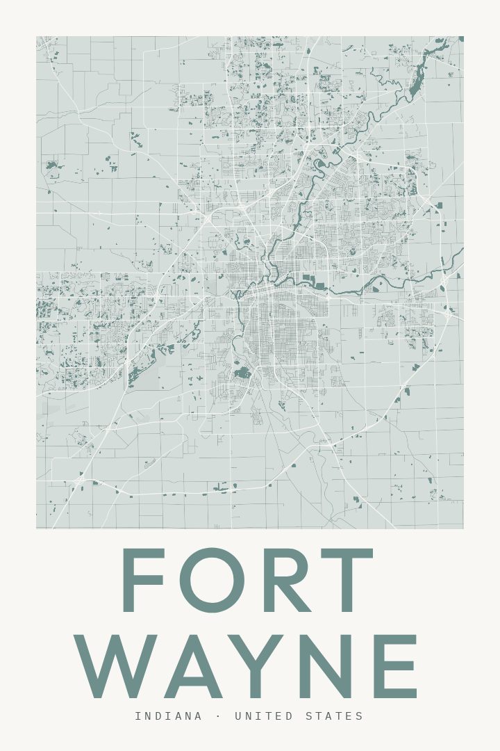
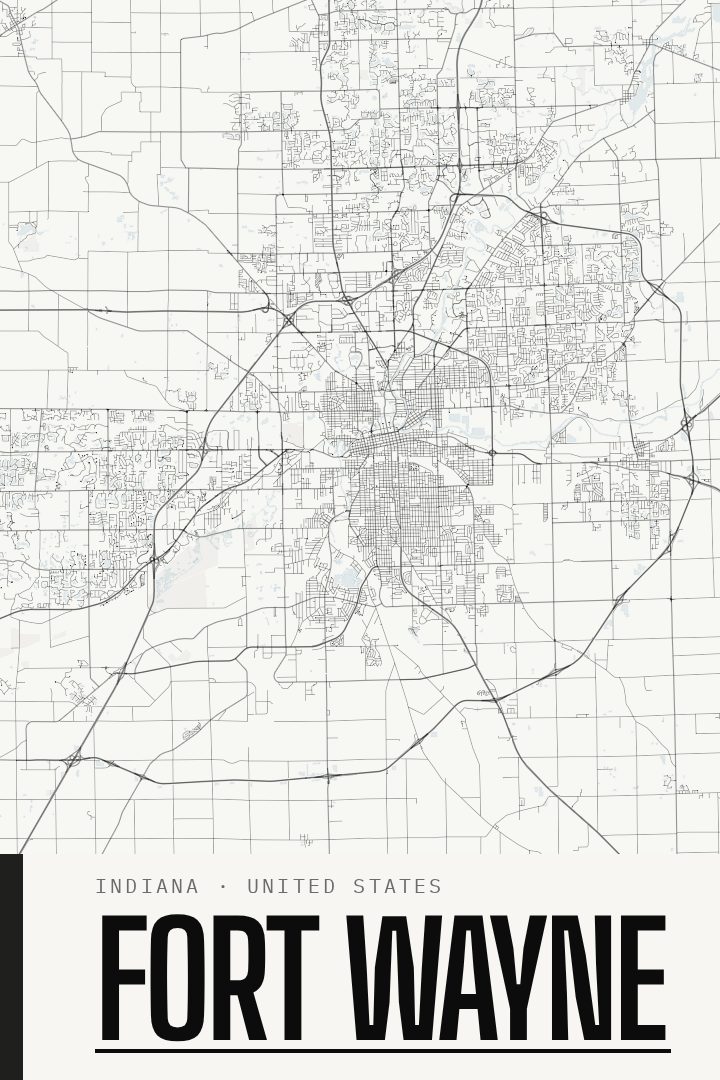
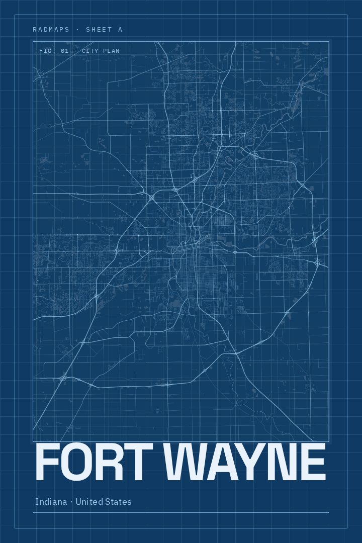
Fort Wayne in every style
You might also like
Related map posters




Part of a collection