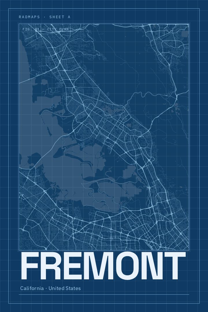
Shown at 16×24" · Archival Matte 250 gsm
Fremont City Map Poster
Blueprint
About this print
Fremont map poster
Fremont sits at the southern edge of the East Bay, stretched between the shoreline of San Francisco Bay and the hills that rise behind it. The city grew out of several older communities, including Niles, Centerville, Irvington, Mission San Jose and Warm Springs, and that history still shows in the way its neighborhoods each keep a character of their own. Niles holds on to its early film-era main street, Mission San Jose is anchored by the old Spanish mission that gave the district its name, and Mission Peak looks down over all of it from the east.
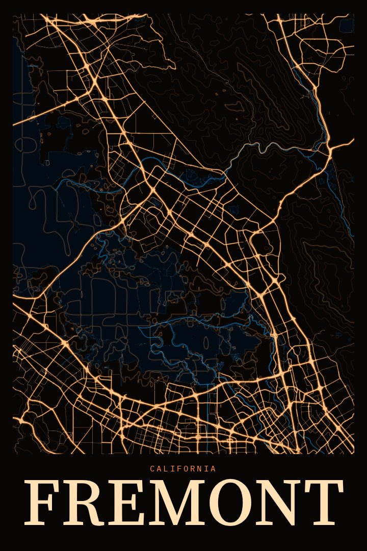
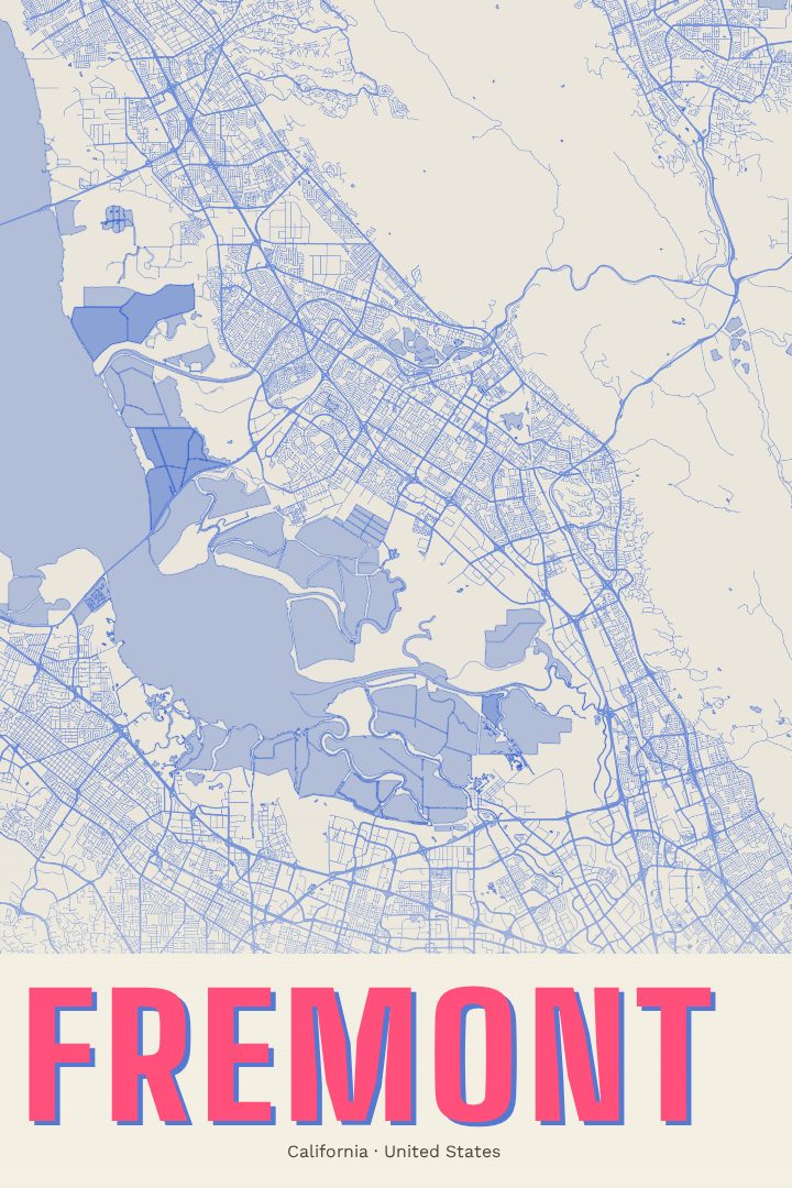
This print turns Fremont's street grid into a piece of wall art in the Blueprint edition, a design style with a clean, technical feel that suits a city known as much for its engineering and manufacturing as for its parks and hillsides. It is a quiet, orderly way to look at a place that many people know mainly from the freeway or the commute, and it rewards a closer look at how the city's separate districts knit together into one map.
It makes a thoughtful piece for someone who grew up here, moved here for work, or left and still thinks of Lake Elizabeth, Saturday mornings in Niles, or the view from the top of Mission Peak. It works in a home office, an entryway, or as a gift for a new homeowner. The poster is decorative art rather than a navigation aid, meant to be hung and enjoyed. The available sizes and finishing options are listed on this page.
Make a custom map poster of your own routeDid it yourself? Make a poster from your own Strava activity
Route details
- Location
- California, United States
- Collection
- Cityscapes
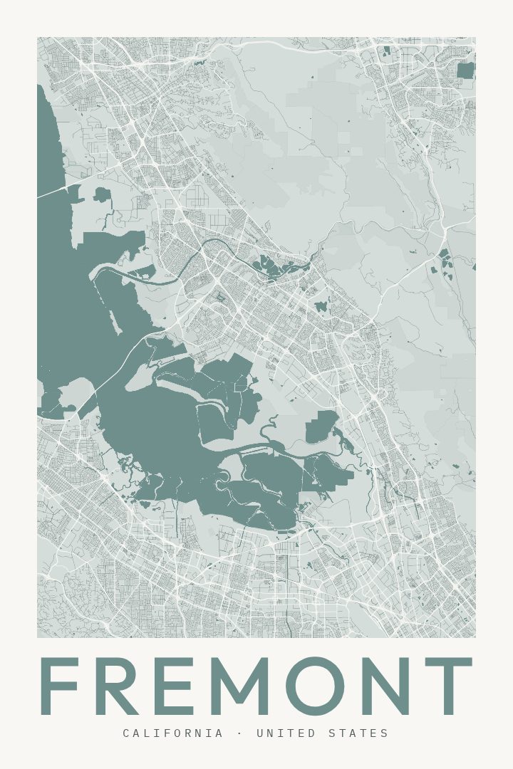
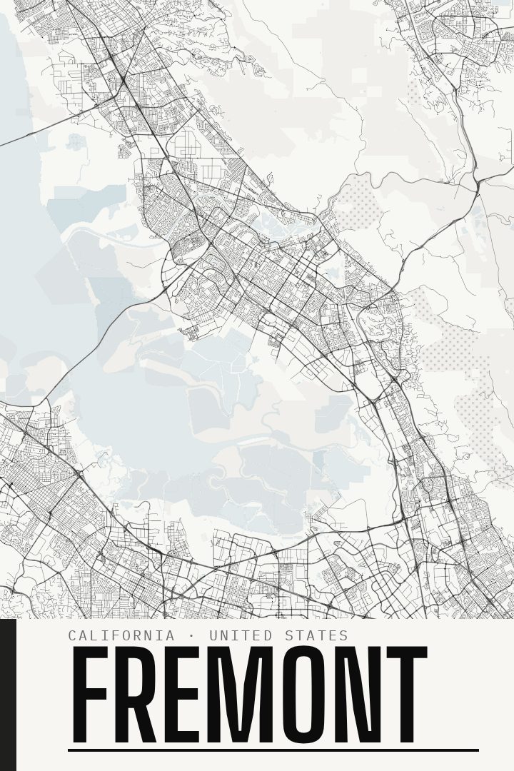
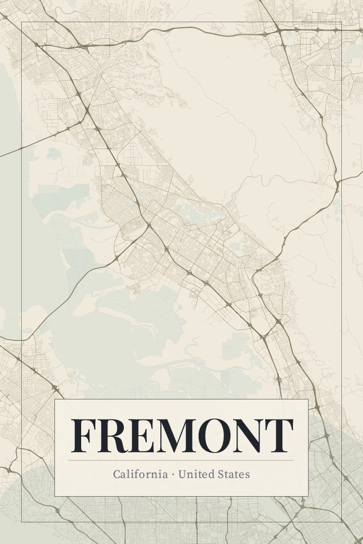
Same city, different style
Fremont in every style
You might also like
Related map posters




Part of a collection