Shown at 16×24" · Archival Matte 250 gsm
Kalalau Trail Map Poster
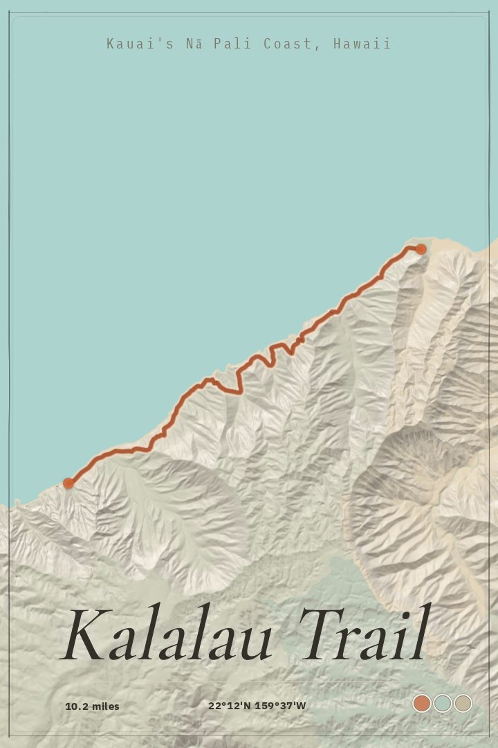
10.2 mi from Keʻe Beach to Kalalau Beach
Bring Kauaʻi’s Nā Pali Coast home with a detailed map of the Kalalau Trail. The artwork traces the mapped 10.2 mi route between Keʻe Beach and Kalalau Beach as gallery-ready wall art for hikers and travelers.
About this print
Kalalau Trail map poster
The Kalalau Trail runs 10.2 miles along the Nā Pali Coast on the north shore of Kauaʻi, starting at Keʻe Beach at the end of the road past Hanalei and ending at Kalalau Beach, which has no road access at all. Between those two points the path climbs and drops through a series of valleys, including Hanakāpīʻai and Hanakoa, crossing streams and traversing slopes that fall away toward the water. Most hikers turn around at the two-mile mark; going the full distance and camping at the far end requires a permit, which is part of why the whole route stays a planned-for trip rather than a casual afternoon.
A map print suits a hike like this because the shape of the coastline is the story. Drawn out end to end, the route reads as a long thread pinned between cliffs and ocean, with the mileage between Keʻe and Kalalau given its proper scale instead of being flattened into a snapshot.
It works as a record for someone who has walked it and still thinks about the last descent into the valley, and as a standing reminder for someone holding a permit date or waiting for one. Hung near a desk or in an entryway, it keeps the trail in view without saying much. The map is made as wall art rather than a field reference, so it belongs on a wall and not in a pack.
Make a custom map poster of your own routeDid it yourself? Make a poster from your own Strava activity
Route details
- Distance
- 10.2 mi
- Location
- Nā Pali Coast, Kauaʻi, Hawaii, United States
- Collection
- Hikes, Trails
You might also like