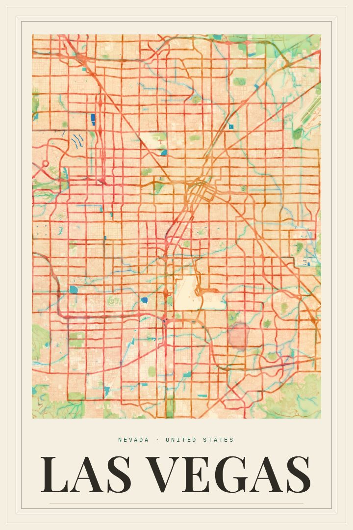
Shown at 16×24" · Archival Matte 250 gsm
Las Vegas City Map Poster
Painted Survey
About this print
Las Vegas map poster
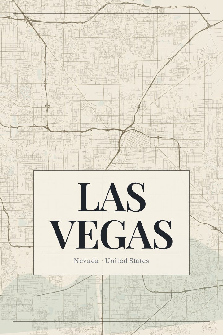
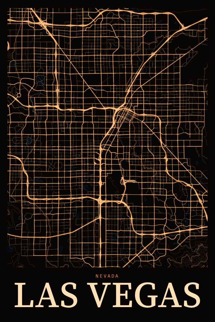
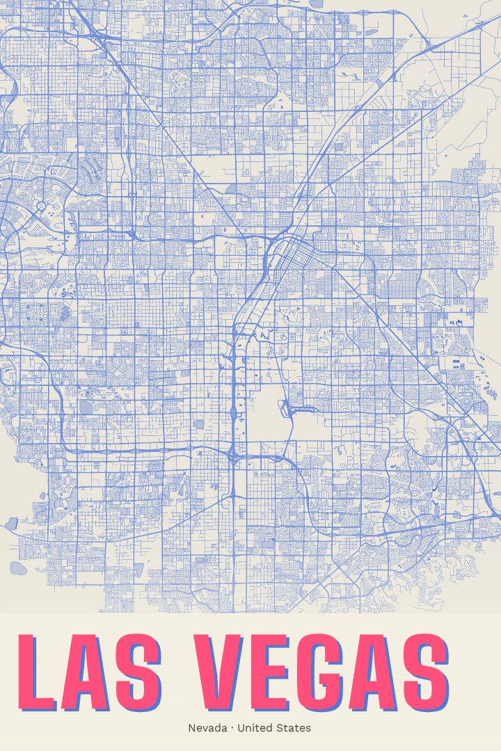
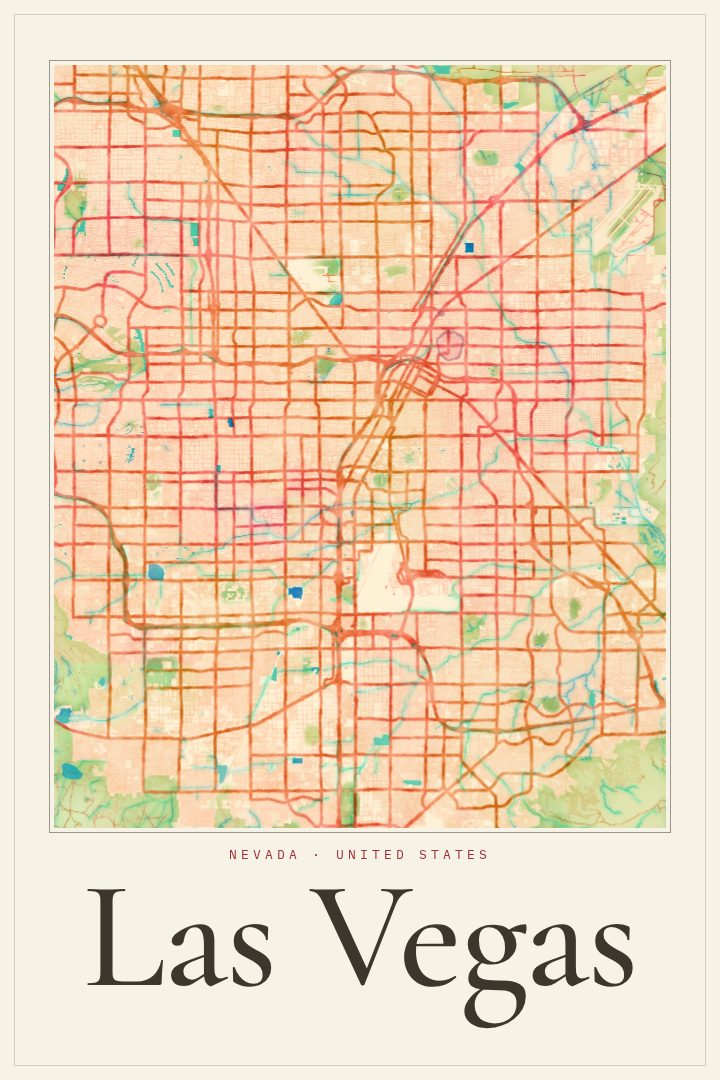
Las Vegas grew up fast in the middle of the Mojave Desert, and its street grid shows it. Long, straight boulevards run out toward the mountains that ring the valley, and planned neighborhoods spread across land that was open desert within living memory. The Strip draws most of the attention, but the city is also older downtown streets around Fremont, quiet residential blocks, and suburbs reaching toward Red Rock Canyon to the west and Henderson to the southeast. A street map poster of Las Vegas captures that layout, which is hard to appreciate from the ground.
The Painted Survey edition gives the map a softer, hand-rendered look, as if the city's survey lines had been brushed in rather than plotted. It is a gentler take on a place usually pictured in neon and glass, and it suits a room where the print is meant to be lived with rather than shouted at. It works in a living room, a home office, or a hallway, alongside photographs or other prints.
For people who grew up in the valley, it is a record of home. For those who moved there for work, spent a few years there, married there, or just keep coming back, it is a reminder of the place beyond the casino floors. It also makes a thoughtful gift for someone leaving Las Vegas or settling in. This poster is decorative art, meant for the wall, not for finding a way across town.
Make a custom map poster of your own routeDid it yourself? Make a poster from your own Strava activity
Route details
- Location
- Nevada, United States
- Collection
- Cityscapes
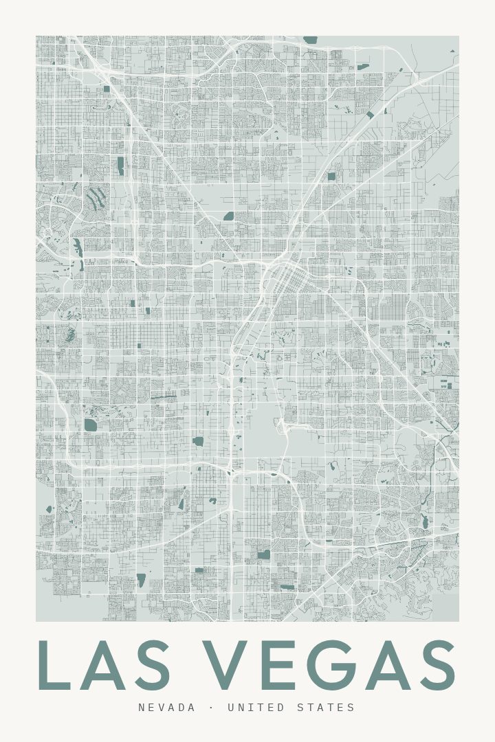
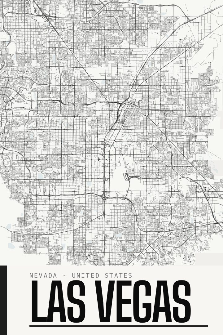
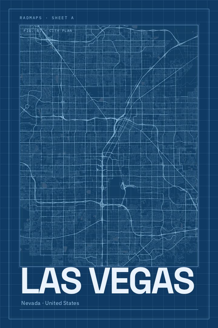
Same city, different style
Las Vegas in every style
You might also like
Related map posters




Part of a collection