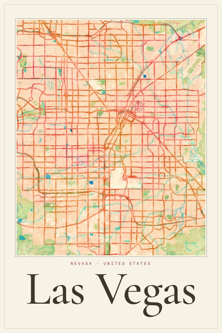
Shown at 16×24" · Archival Matte 250 gsm
Las Vegas City Map Poster
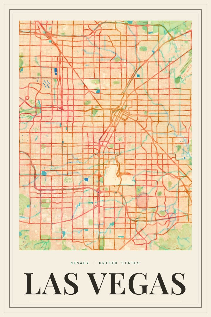
Watercolor
About this print
Las Vegas map poster
Las Vegas grew up in the Mojave Desert, and its street grid spreads across a wide valley ringed by mountains. Most visitors know it for the Strip, with its casinos, fountains and late-night crowds. The city is larger than that one stretch, though. Downtown and Fremont Street hold some of its older history, and residential neighborhoods reach out toward the desert edges, where Red Rock Canyon sits to the west. This poster renders Las Vegas as a street map in the Watercolor style, a soft and loose design that suits a city so often pictured in hard neon.
The print works well for people who live in the valley and want a quieter view of home than the usual skyline photograph. It also suits someone who married there, celebrated a milestone birthday on the Strip, or spent a long weekend that still comes up in conversation. Former residents who moved away tend to like a map of the place they came from. Seen as a street map, the city's layout shows how it took shape between the mountains, and that can be pleasing in its own right.
The Watercolor treatment sits comfortably in a living room, a hallway or a home office. Its gentle washes of color pair easily with other art and do not lean too heavily on any one decor style. It belongs on the wall as decorative art, a keepsake of a city that means something, and is not meant to guide anyone through its streets.
Make a custom map poster of your own routeDid it yourself? Make a poster from your own Strava activity
Route details
- Location
- Nevada, United States
- Collection
- Cityscapes
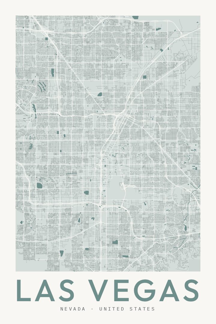
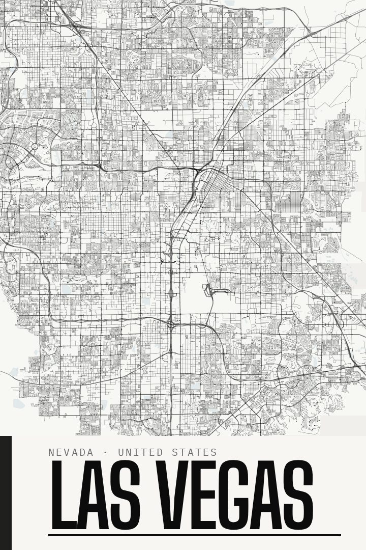
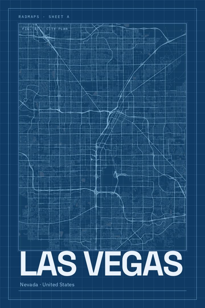
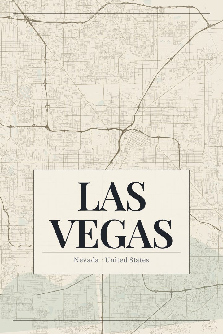
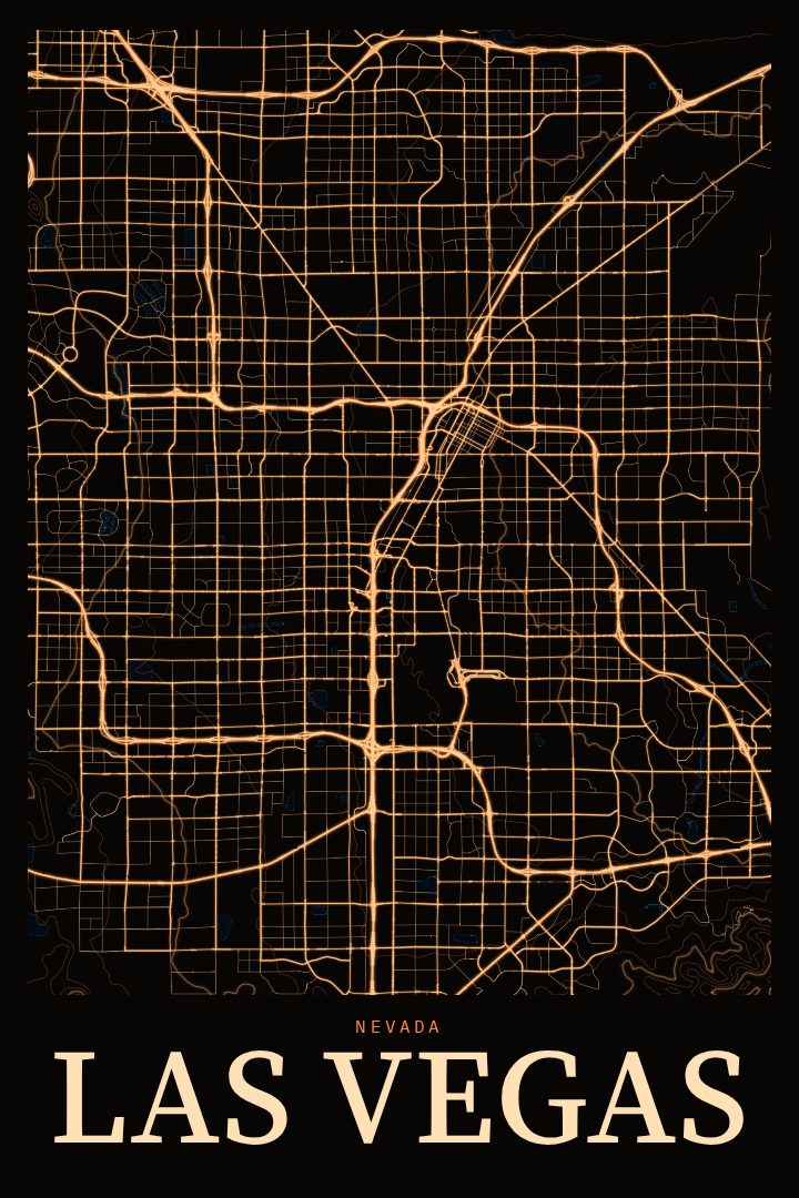
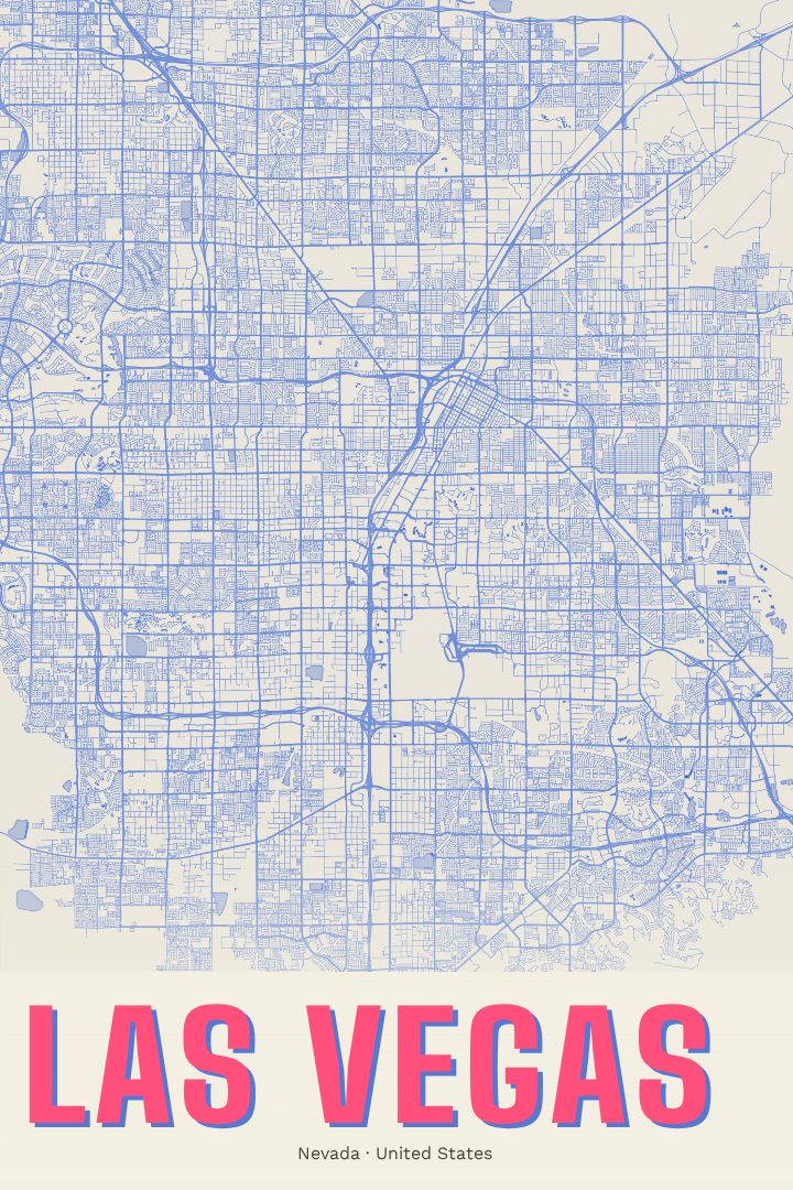
Same city, different style
Las Vegas in every style
You might also like
Related map posters




Part of a collection