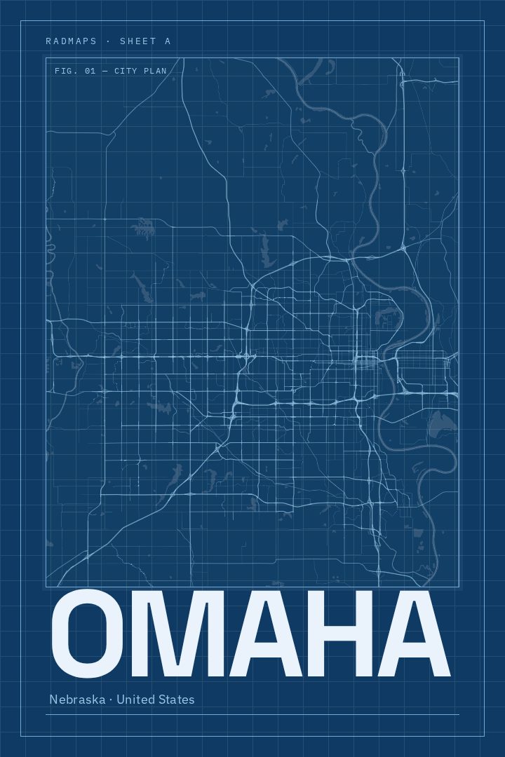
Shown at 16×24" · Archival Matte 250 gsm
Omaha City Map Poster
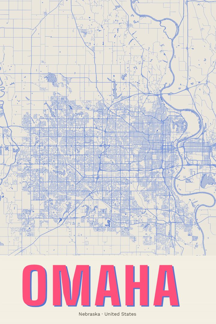
Blueprint
About this print
Omaha map poster
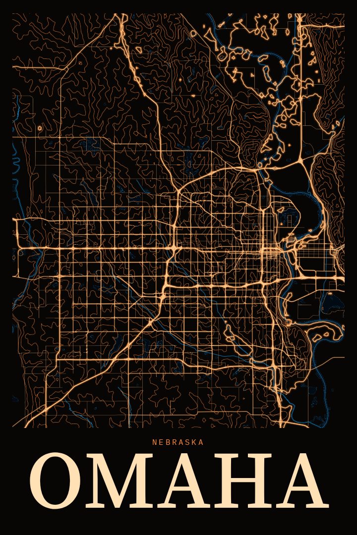
Omaha sits on the west bank of the Missouri River, across the water from Council Bluffs, Iowa, and its street grid tells the story of a river city that grew outward onto the rolling plains. This Blueprint edition renders Omaha as a street map in a clean, technical style, turning familiar blocks and avenues into a piece of graphic art for the wall.
For anyone who grew up in Omaha, went to school there, started a career there, or simply fell for the place on a visit, a map of the city carries a lot of quiet meaning. Omaha is known for the Old Market's brick streets and warehouses, for the Henry Doorly Zoo, and for hosting the College World Series each June, and its neighborhoods range from older streetcar-era districts near downtown to the newer suburbs stretching west. A street map gathers all of that into a single image, so the person looking at it can trace the routes they know by heart.
The Blueprint style suits a city with a strong grid and a working-river history. It reads as precise and architectural, and it fits easily into a home office, a living room, or a hallway. It also makes a thoughtful gift for someone moving away from Omaha, someone who just bought a first home there, or a Nebraskan living elsewhere who misses the place. Like every RadMaps print, it is meant as decorative art rather than a guide for getting around, and the available options are listed on this page.
Make a custom map poster of your own routeDid it yourself? Make a poster from your own Strava activity
Route details
- Location
- Nebraska, United States
- Collection
- Cityscapes
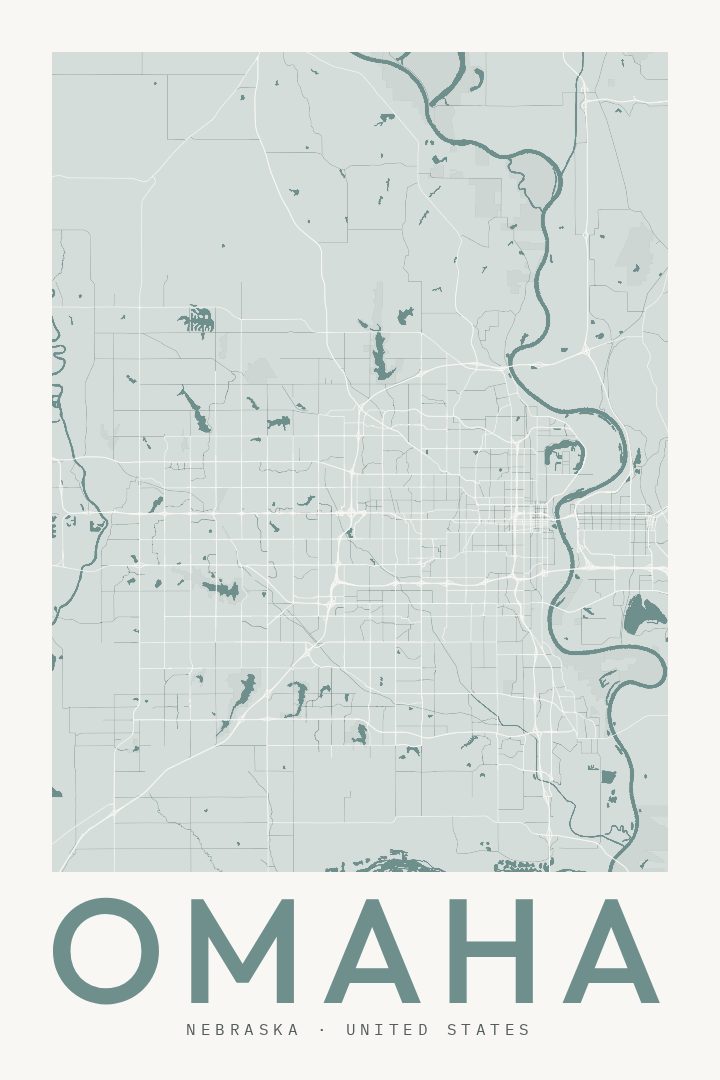
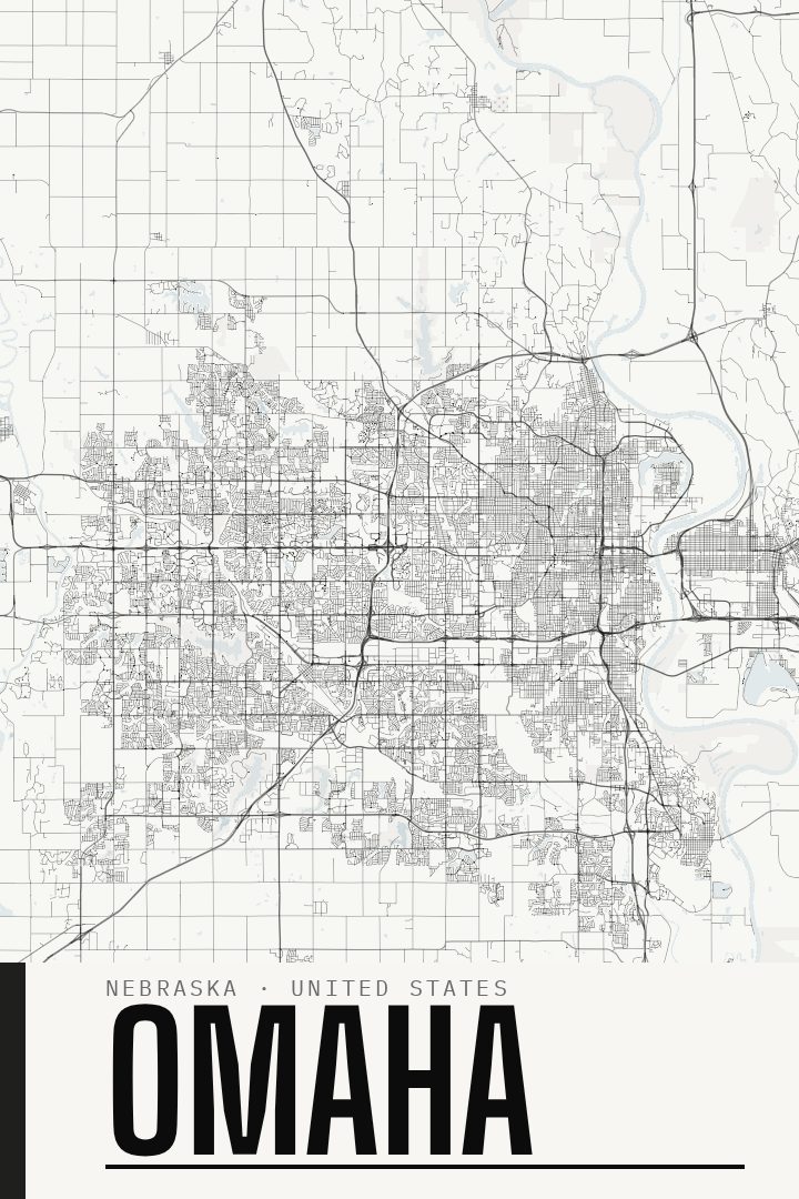
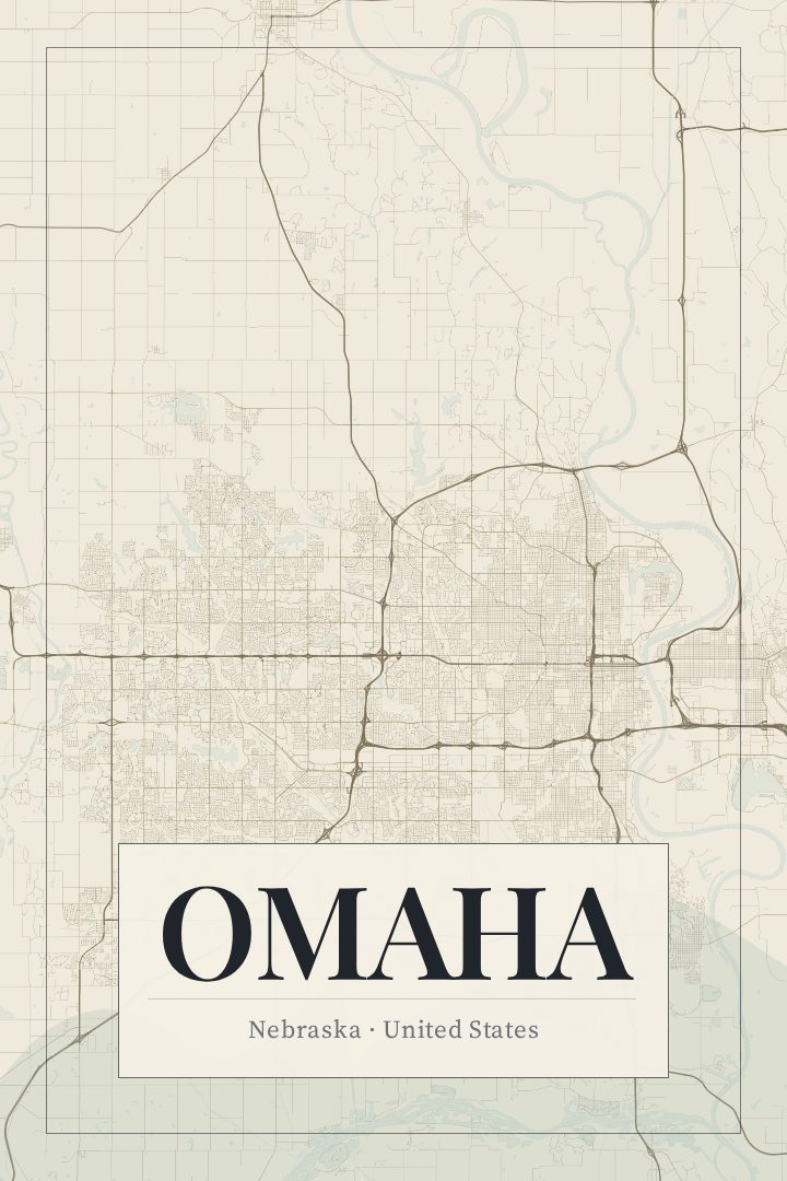
Same city, different style
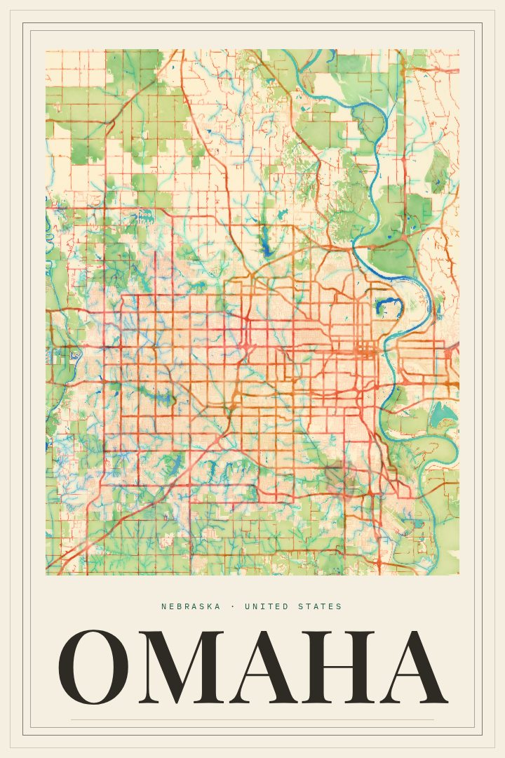
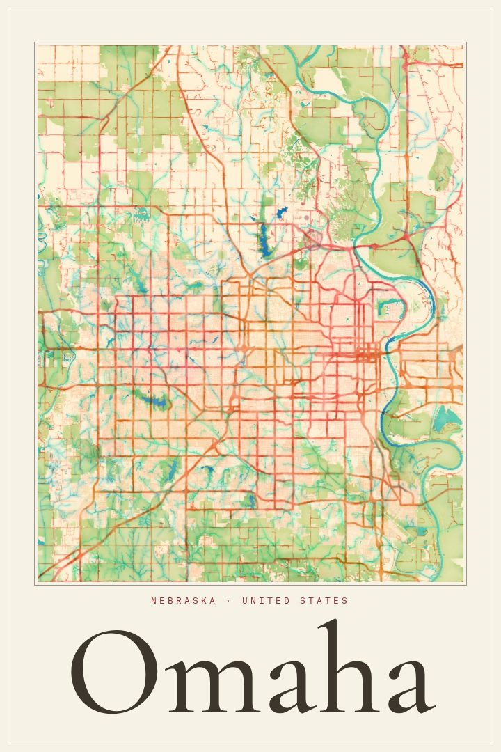
Omaha in every style
You might also like
Related map posters




Part of a collection