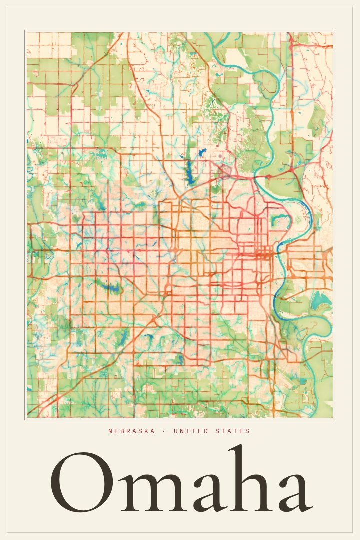
Shown at 16×24" · Archival Matte 250 gsm
Omaha City Map Poster
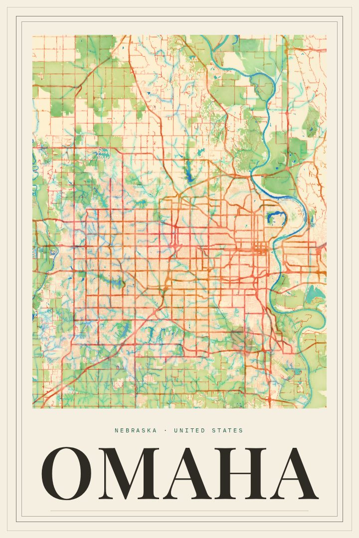
Watercolor
About this print
Omaha map poster
Omaha sits on the west bank of the Missouri River, a city built on rail lines, river trade and the long reach of the Great Plains. This poster renders its street grid in the Watercolor style, a soft, painterly look that suits a place known more for its neighborhoods and easy pace than for drama. It is meant for walls, not wayfinding, and reads as a quiet portrait of a city rather than a tool for getting around it.
The Old Market's brick streets, the riverfront and the Bob Kerrey Pedestrian Bridge to Council Bluffs, the College World Series each June, the Henry Doorly Zoo: Omaha means different things to different people, and a map of its streets holds all of them without picking one. For someone who grew up here, moved away, or arrived for school or work and stayed, the layout of the city carries a lot of memory. Morning drives, old apartments, a favorite steakhouse, the route home after a game.
The Watercolor edition keeps things gentle, so the print sits comfortably in a living room, an office or a hallway without demanding attention. It also makes a thoughtful gift for a new homeowner, a graduate leaving Creighton or UNO, or a friend who still calls Omaha home no matter where they live now. Paired with prints of other places that matter, it can anchor a small gallery wall of the cities and routes that shaped a life.
Make a custom map poster of your own routeDid it yourself? Make a poster from your own Strava activity
Route details
- Location
- Nebraska, United States
- Collection
- Cityscapes
Same city, different style
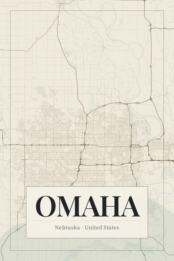
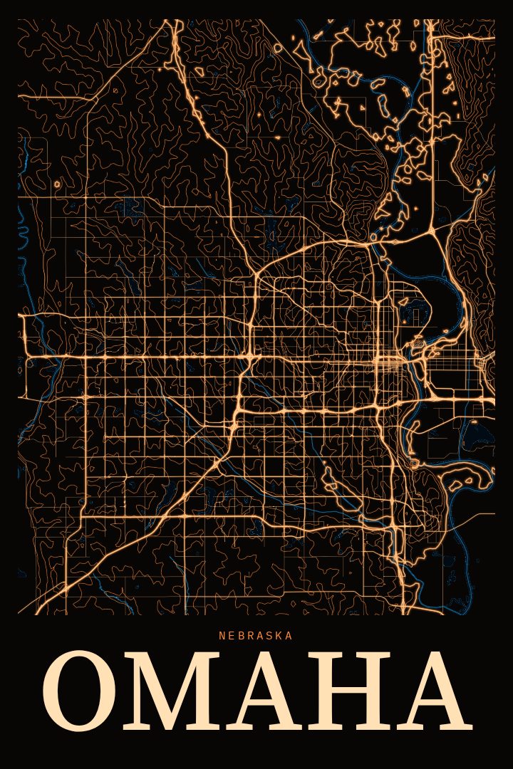
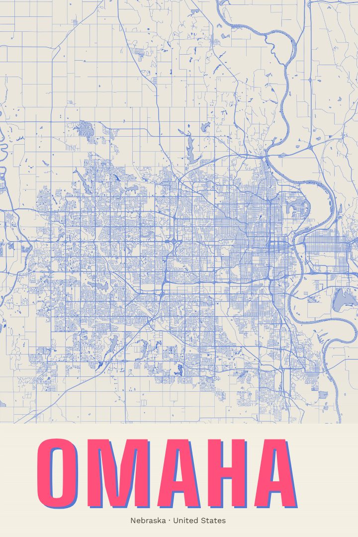
Omaha in every style
You might also like
Related map posters




Part of a collection