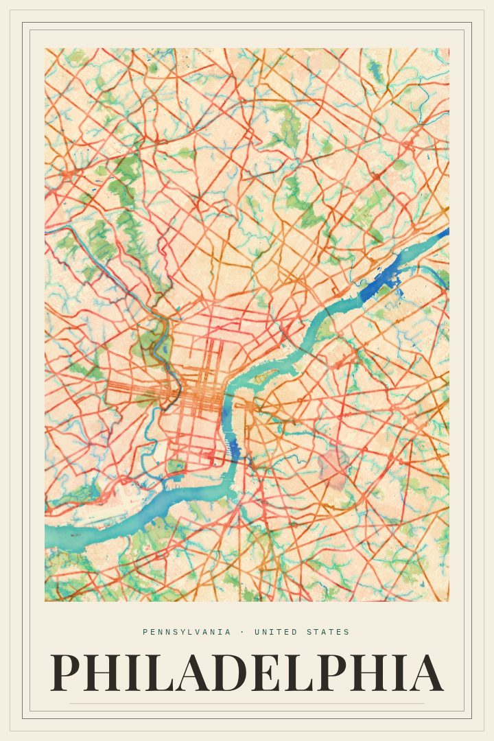
Shown at 16×24" · Archival Matte 250 gsm
Philadelphia City Map Poster
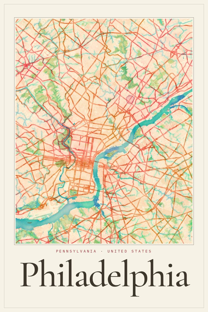
Painted Survey
About this print
Philadelphia map poster
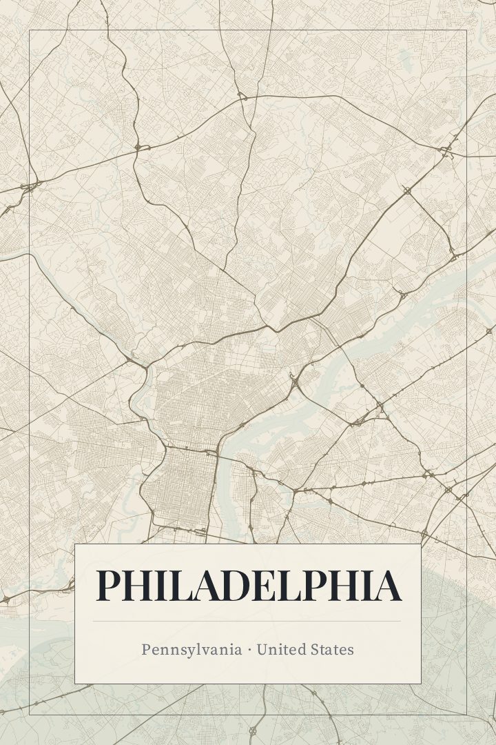
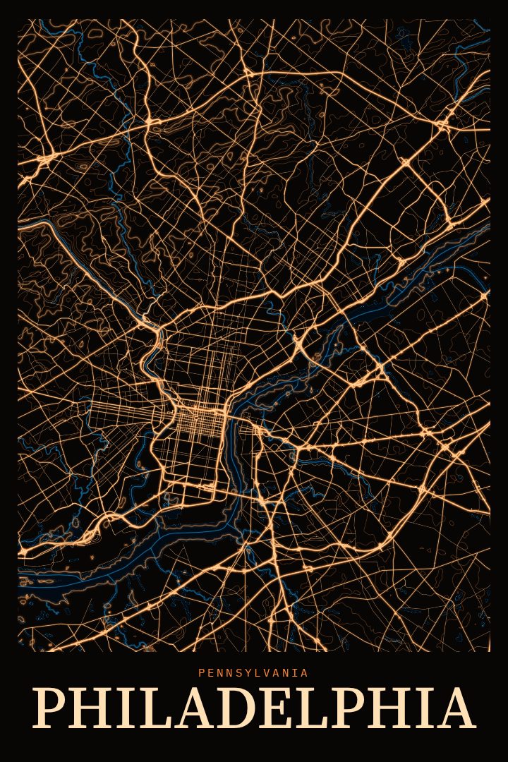
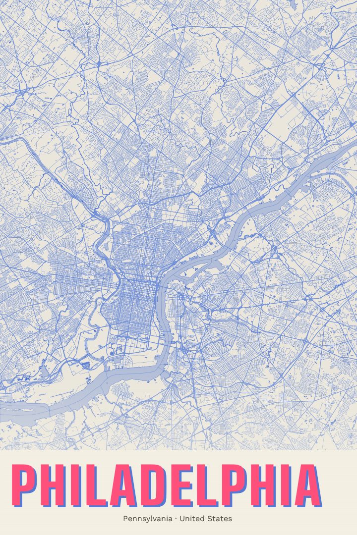
Philadelphia is a city that rewards people who know it street by street. William Penn laid it out as a grid between the Delaware and Schuylkill rivers, with public squares set into the plan, and that early order still shapes how the city feels to walk through today. This print takes Philadelphia, Pennsylvania as its subject and renders it in the Painted Survey style, a visual design that gives a street map the softer character of a painted piece.
The city carries a long history in a compact footprint. Independence Hall and the Liberty Bell sit in Old City, Reading Terminal Market has fed generations of locals and visitors, and the Philadelphia Museum of Art looks out over the Benjamin Franklin Parkway toward the skyline. Beyond Center City are rowhouse blocks, corner stores, and neighborhoods each with their own loyalties, from South Philly to Fishtown to West Philadelphia. A map of the place calls all of that to mind: the commutes, the walks along the river, the apartment that was home for a few years.
This is a print for someone who grew up here, moved here, went to school here, or left and still talks about the cheesesteaks. It works on its own in a living room or study, and it sits well alongside other cityscapes for anyone tracing the places that have mattered to them. It also makes a thoughtful gift for a friend heading off to a new city or one finally coming home. As with every RadMaps poster, it is meant as decorative art for the wall, not as a guide for getting around.
Make a custom map poster of your own routeDid it yourself? Make a poster from your own Strava activity
Route details
- Location
- Pennsylvania, United States
- Collection
- Cityscapes
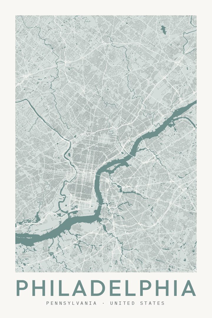
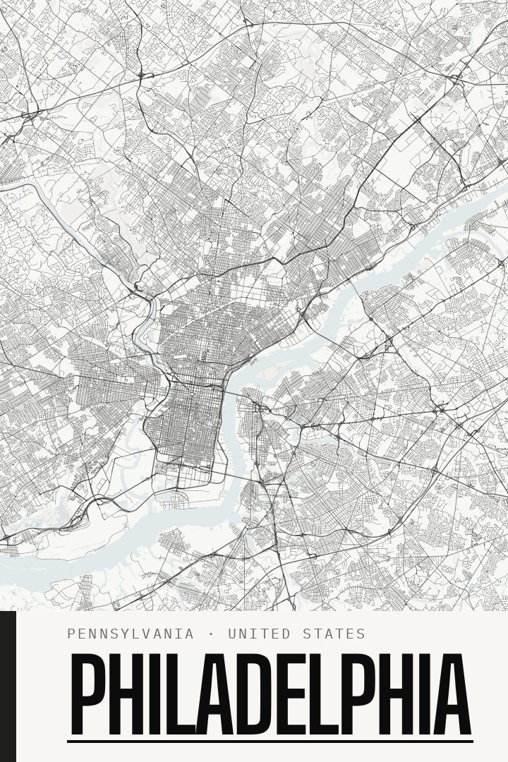
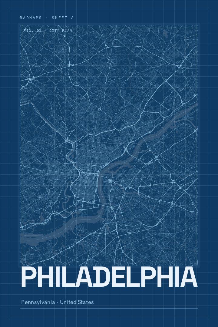
Same city, different style
Philadelphia in every style
You might also like
Related map posters




Part of a collection