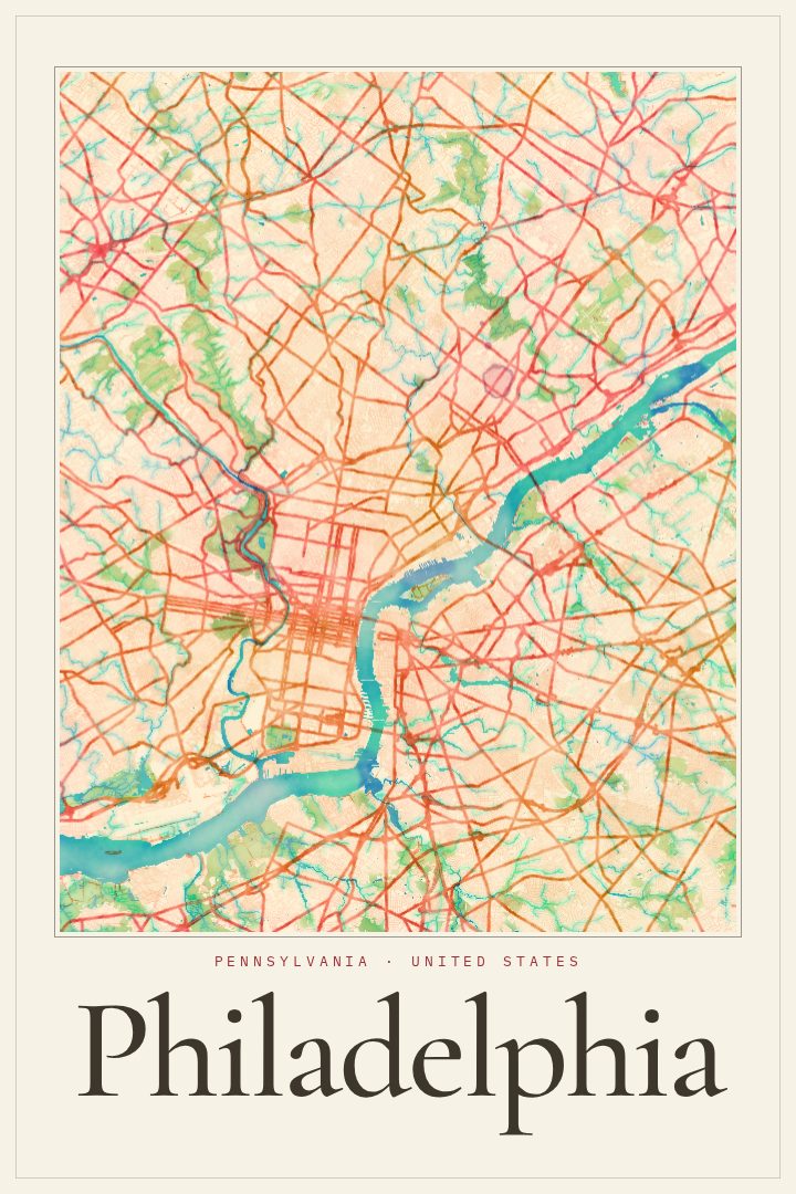
Shown at 16×24" · Archival Matte 250 gsm
Philadelphia City Map Poster
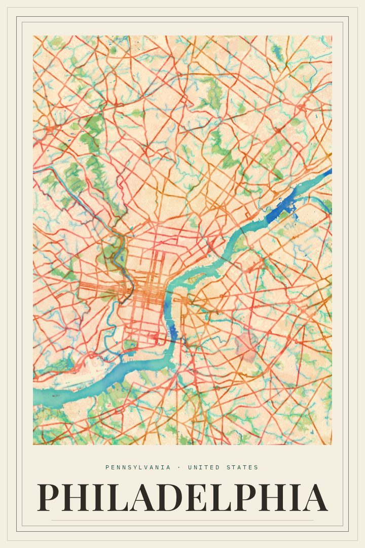
Watercolor
About this print
Philadelphia map poster
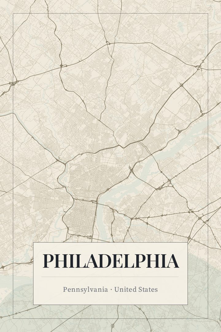
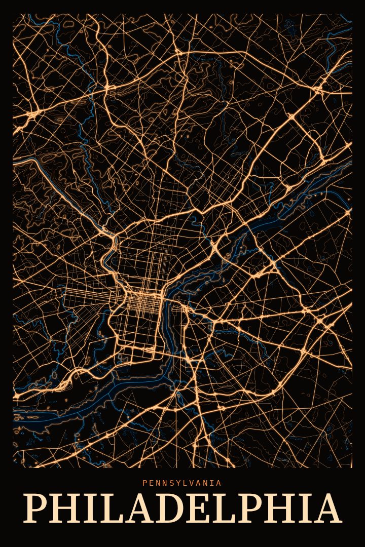
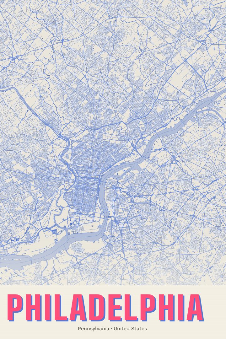
Philadelphia is a city that rewards walking. William Penn laid out its original grid between the Delaware and Schuylkill rivers, and that orderly pattern of numbered streets and tree-named cross streets still shapes how people move through Center City today. Beyond the grid, the city spreads into neighborhoods with their own character, from the rowhouse blocks of South Philly to the leafy streets of the northwest, with the long green corridor of Fairmount Park following the Schuylkill and the Wissahickon.
This print renders Philadelphia's street map in the Watercolor style, a design approach that trades hard technical lines for soft washes of color and gentle edges. The result reads more like a painting than a chart, which suits a city with so much history layered into its streets. It works as decorative art for a living room, hallway, or office, and it's meant to be looked at rather than navigated by.
For anyone who grew up in Philadelphia, went to school there, or built a life around its corners and markets, a map of the city can hold a lot of memory. It makes a thoughtful gift for a new homeowner, a graduate heading off to another city, or someone who moved away and still answers "Philly" when asked where they're from. It also sits comfortably alongside other city prints for anyone collecting the places that have mattered to them. The available sizes and finishes are listed on this page, so it's easy to choose what fits the wall.
Make a custom map poster of your own routeDid it yourself? Make a poster from your own Strava activity
Route details
- Location
- Pennsylvania, United States
- Collection
- Cityscapes
Same city, different style
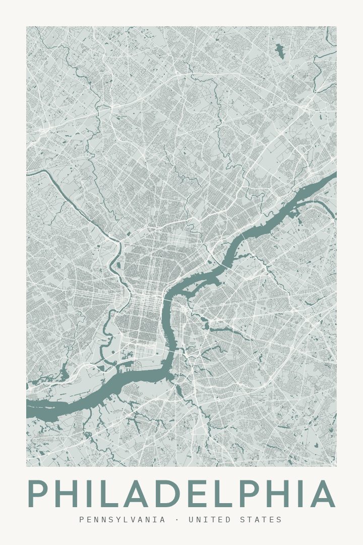
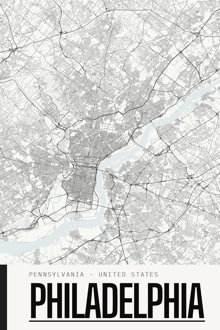
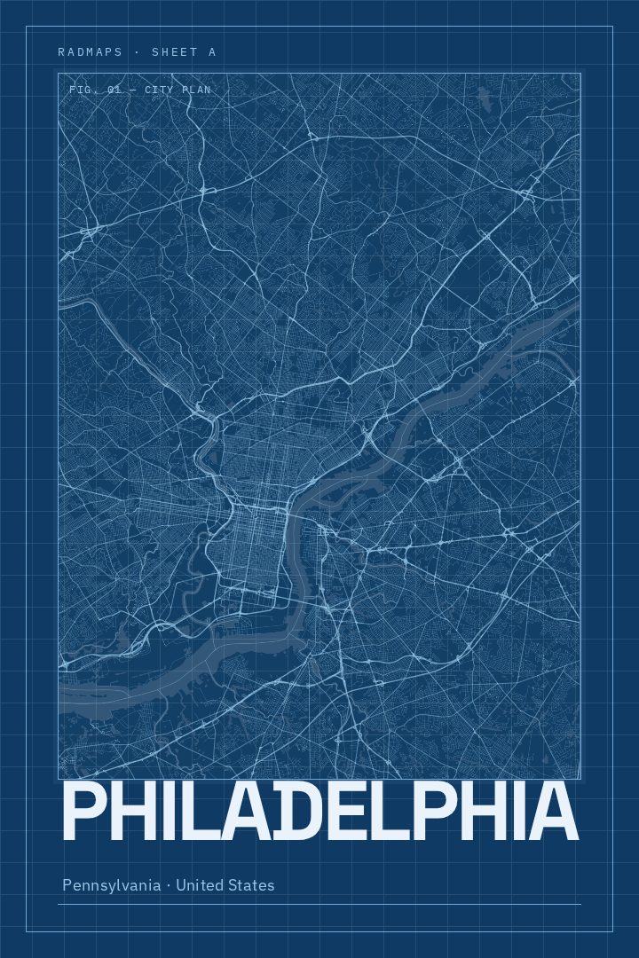
Philadelphia in every style
You might also like
Related map posters




Part of a collection