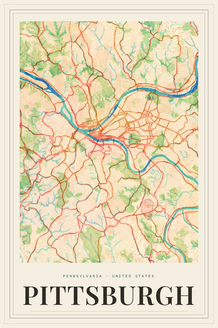
Shown at 16×24" · Archival Matte 250 gsm
Pittsburgh City Map Poster
Painted Survey
About this print
Pittsburgh map poster
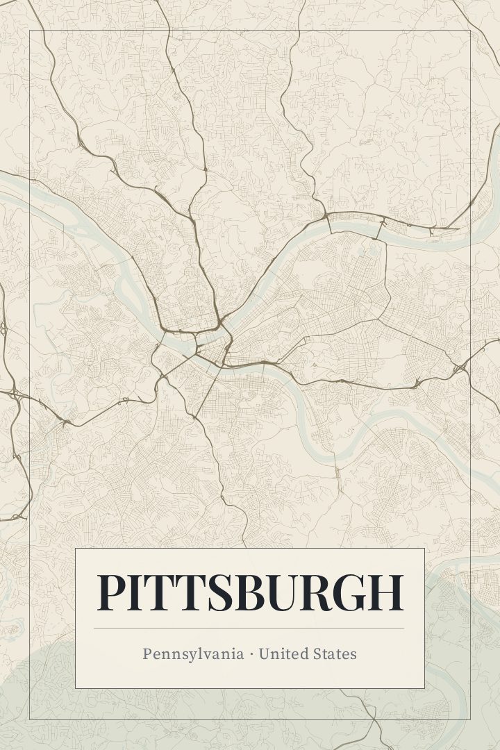
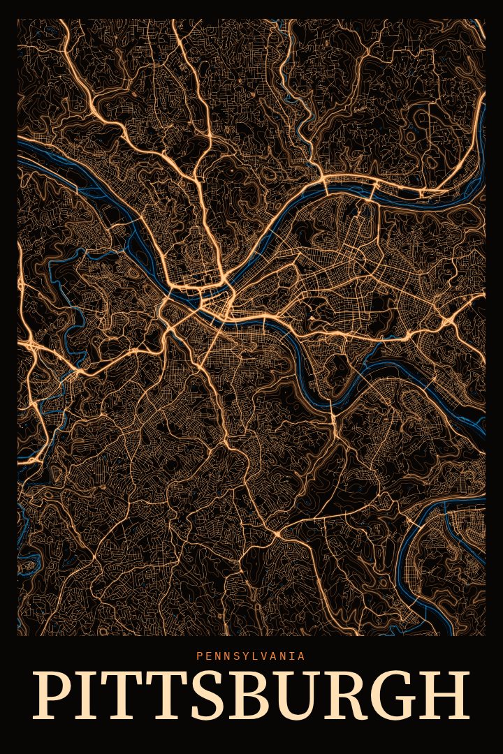
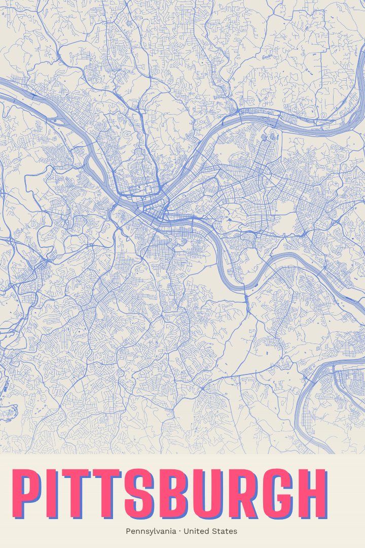
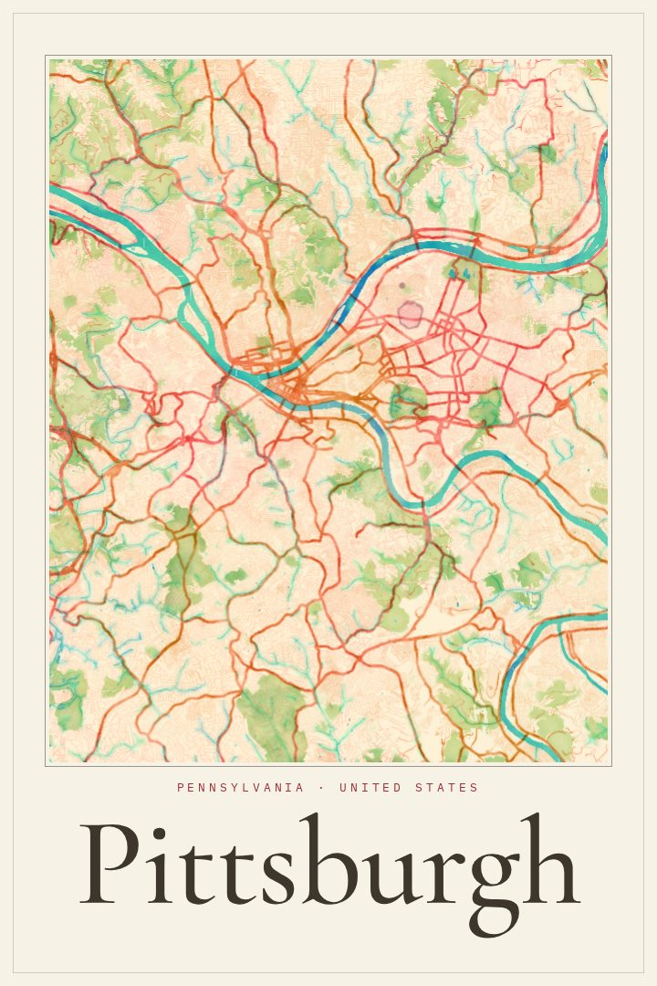
Pittsburgh is a city shaped by water and hills. The Allegheny and Monongahela rivers meet at the Point to form the Ohio, and the neighborhoods around them climb steep slopes, tuck into hollows, and connect across a remarkable number of bridges. Streets bend to follow ridgelines and riverbanks, so the city's layout reads less like a grid and more like a record of its terrain. This print captures Pittsburgh, Pennsylvania as a street map in the Painted Survey style, a soft, painterly take on the city's roads and rivers.
For anyone who grew up here, went to school here, or still finds their way home through the tunnels and across the bridges, the shape of the city carries a lot of meaning. It is the place of Sunday games on the North Shore, views from Mount Washington, and the long history of steel that built much of the region. A map of these streets can hold those memories without spelling them out, letting each person bring their own landmarks to it.
The Painted Survey edition gives the city plan a gentle, hand-touched feel that sits comfortably in a living room, office, or hallway. It works well as a gift for someone who has moved away and misses the rivers, for a new homeowner settling into a Pittsburgh neighborhood, or for a longtime resident who simply loves the place. As decorative art rather than a navigation aid, it is meant to be enjoyed on the wall as a quiet portrait of a city defined by its hills, rivers, and bridges.
Make a custom map poster of your own routeDid it yourself? Make a poster from your own Strava activity
Route details
- Location
- Pennsylvania, United States
- Collection
- Cityscapes
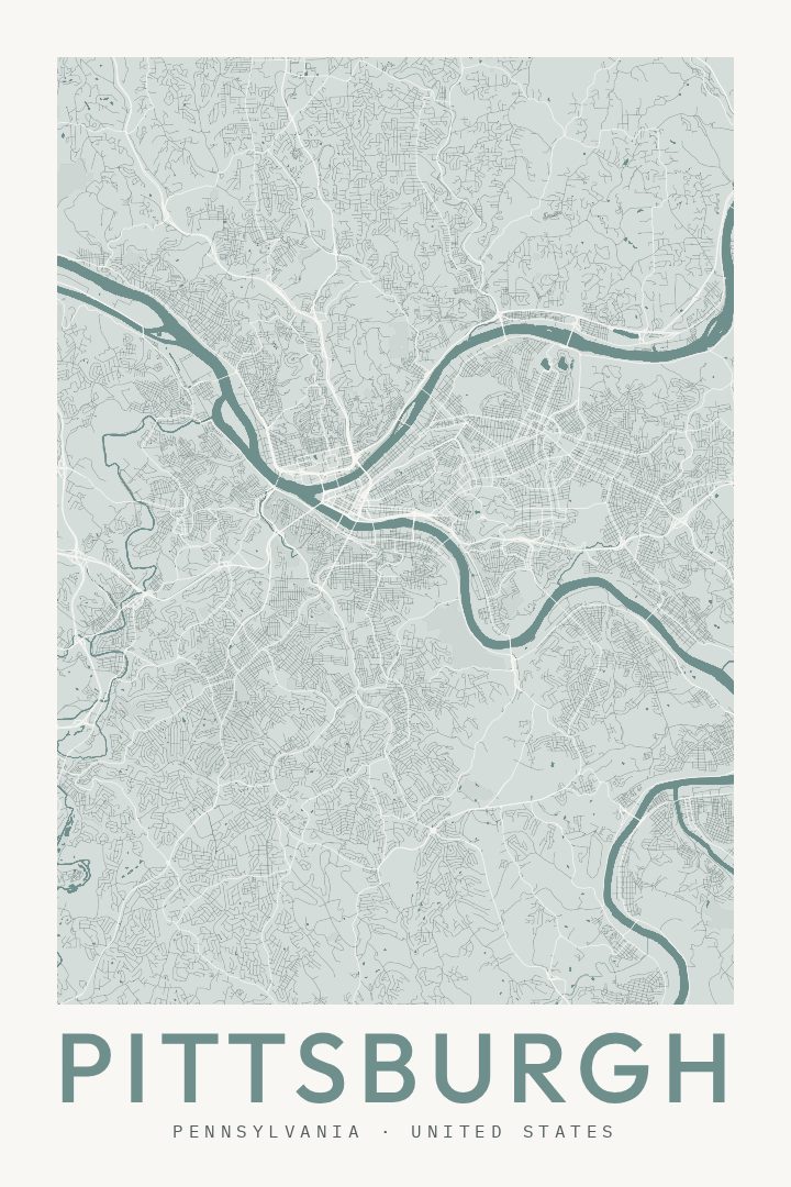
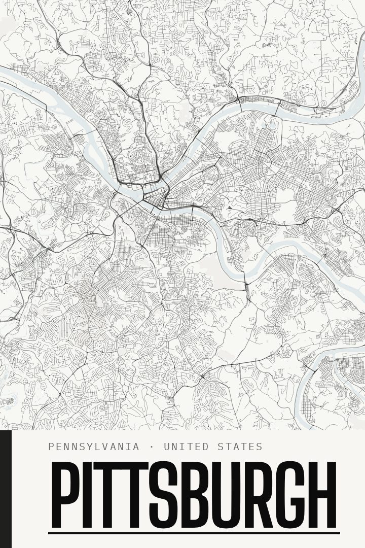
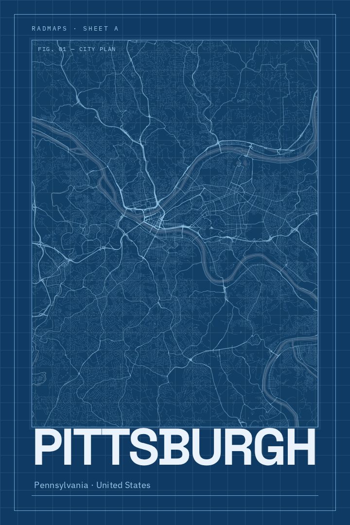
Same city, different style
Pittsburgh in every style
You might also like
Related map posters




Part of a collection