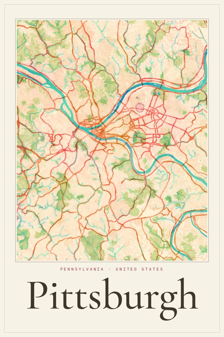
Shown at 16×24" · Archival Matte 250 gsm
Pittsburgh City Map Poster
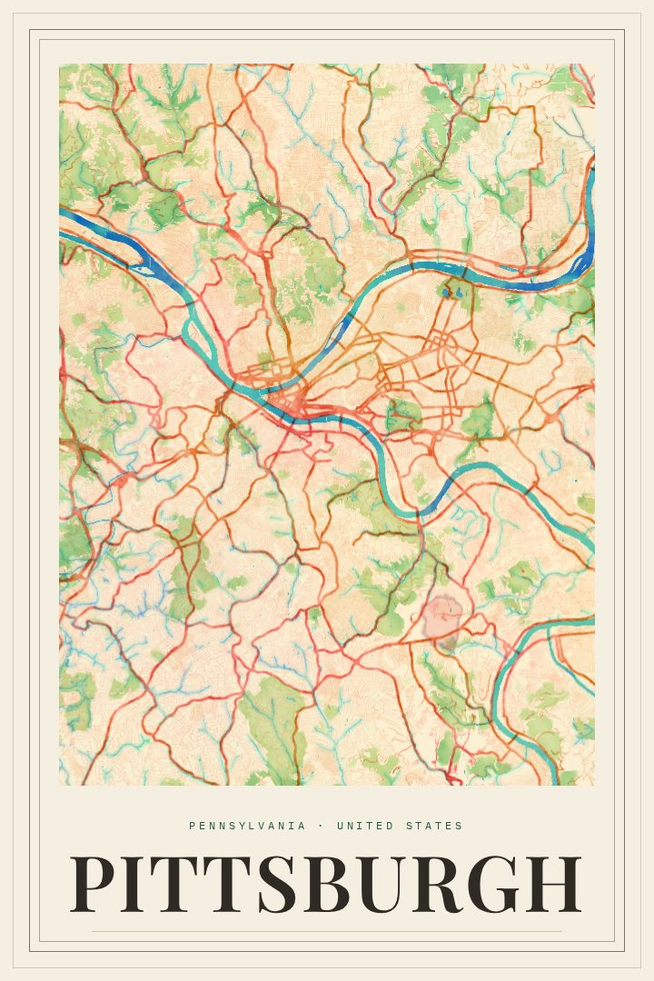
Watercolor
About this print
Pittsburgh map poster
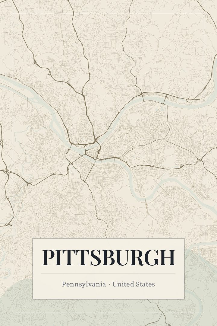
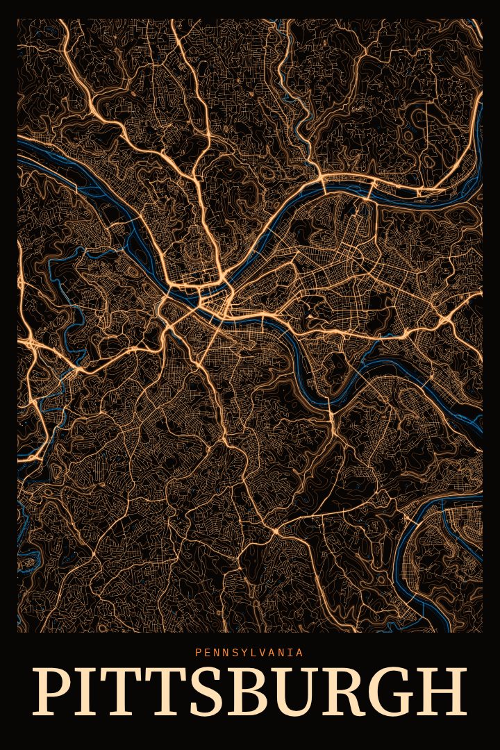
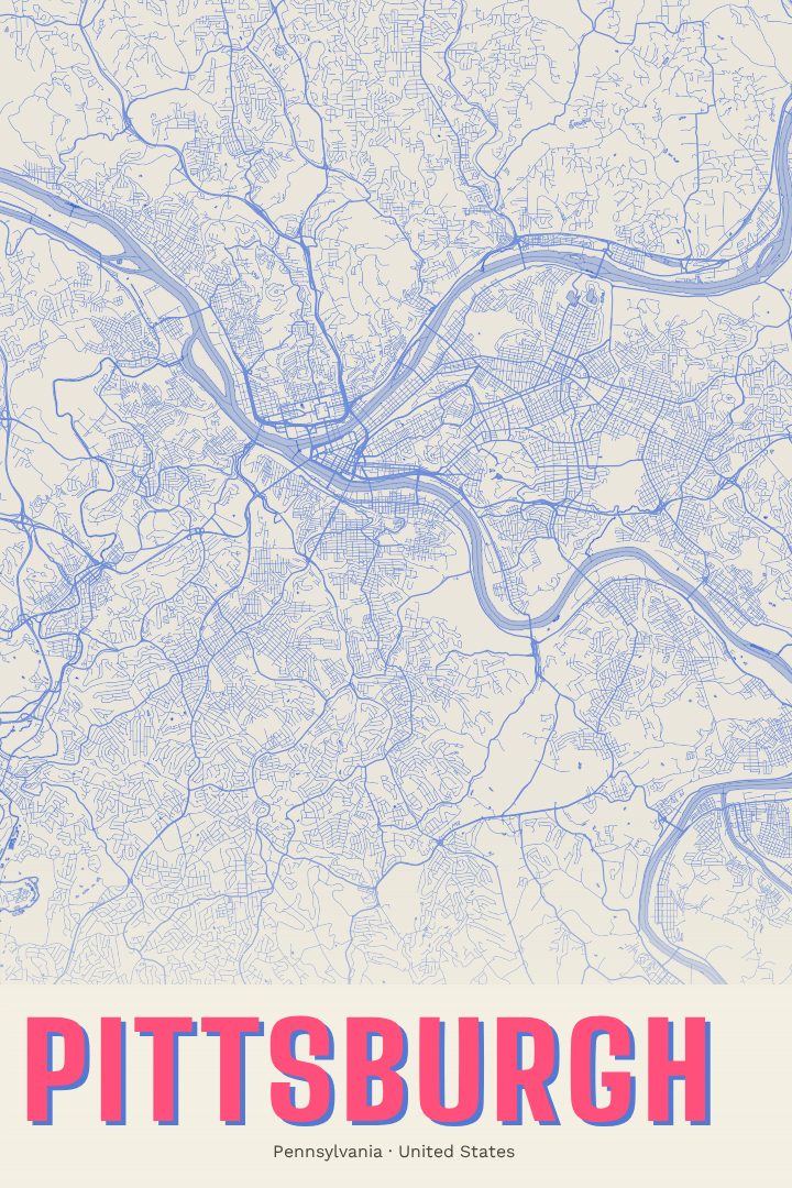
Pittsburgh is a city shaped by water. The Allegheny and Monongahela rivers meet at the Point downtown to form the Ohio, and the rest of the city spreads outward across hills, bluffs, and hollows, stitched together by bridges and steep streets. That geography gives the street grid an irregular, organic character, with neighborhoods tucked into valleys and perched on ridges rather than laid out in tidy blocks. A map of Pittsburgh reads less like a plan and more like a portrait of the land itself.
This print renders the city in the Watercolor style, a design with soft washes of color and gentle, blended edges. It suits a place whose rivers and hillsides already lend the map a sense of movement. The result is calm and decorative, more about mood and memory than precise detail, and it sits comfortably in a living room, an office, or a hallway where a quieter piece of art is wanted.
It makes a thoughtful gift for someone who grew up in Pittsburgh, went to school there, or moved away and still thinks of the city as home. It also works for anyone who simply loves the place: the inclines, the river views, the neighborhoods with their own distinct personalities. Like every RadMaps poster, it is decorative art rather than a navigation aid, meant to be looked at and lived with, not carried along on a walk across the city.
Make a custom map poster of your own routeDid it yourself? Make a poster from your own Strava activity
Route details
- Location
- Pennsylvania, United States
- Collection
- Cityscapes
Same city, different style
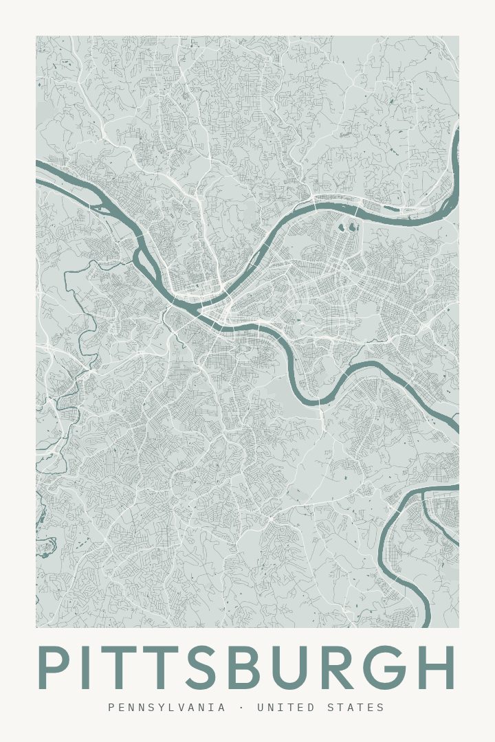
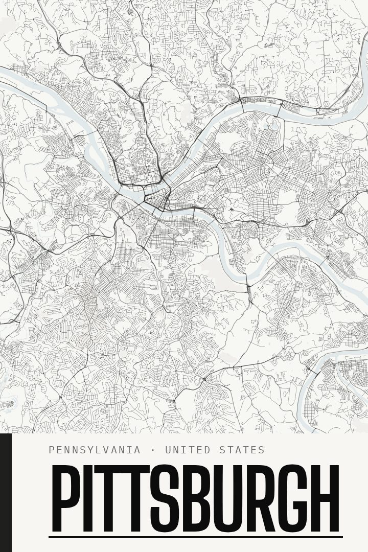
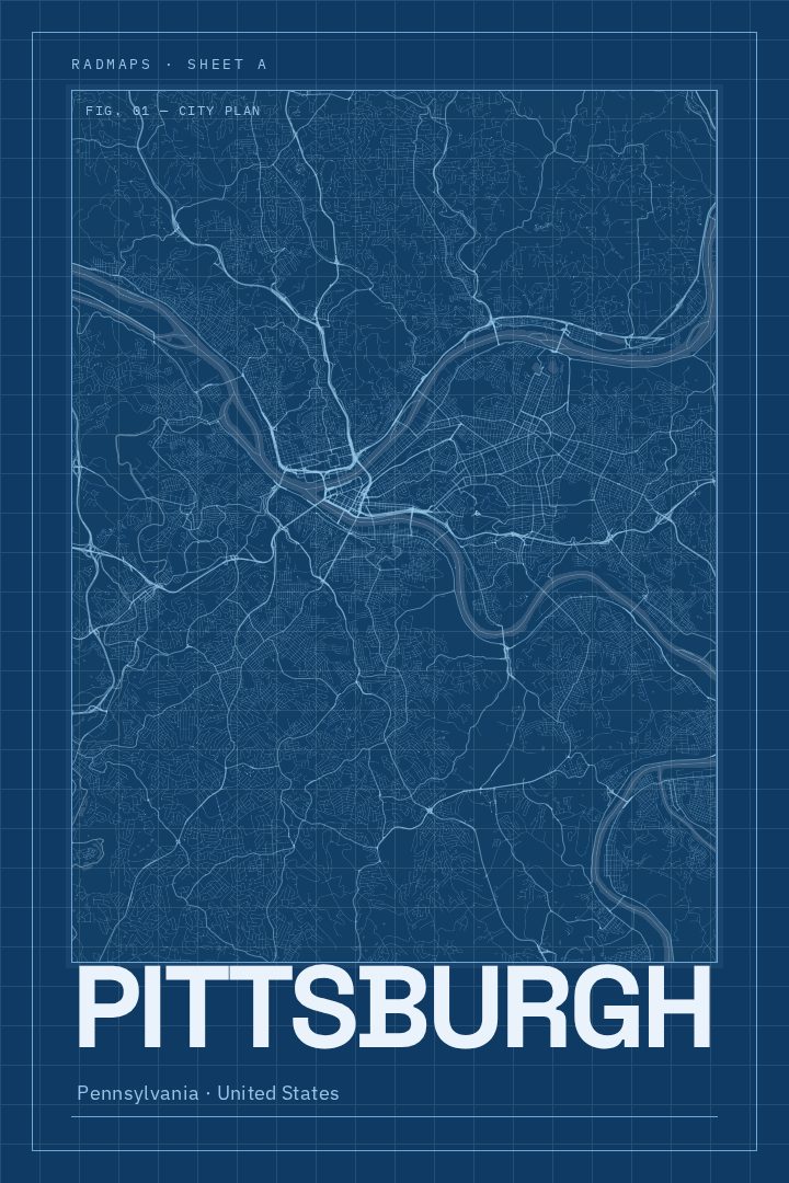
Pittsburgh in every style
You might also like
Related map posters




Part of a collection