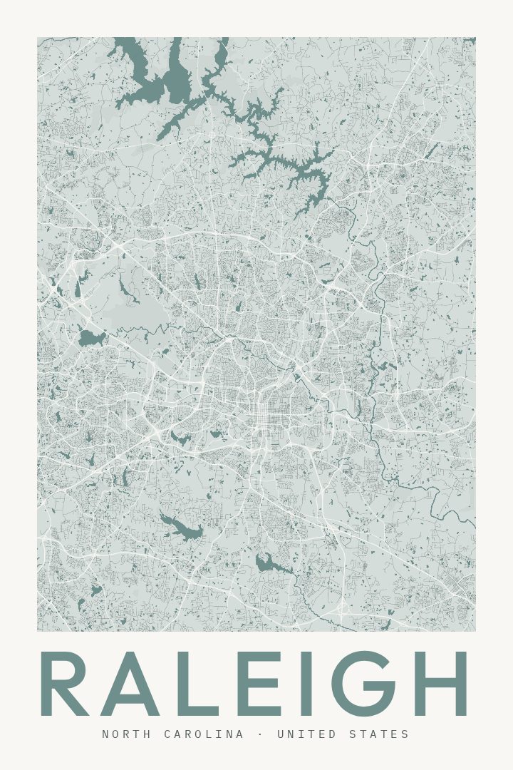
Shown at 16×24" · Archival Matte 250 gsm
Raleigh City Map Poster
Classic
About this print
Raleigh map poster
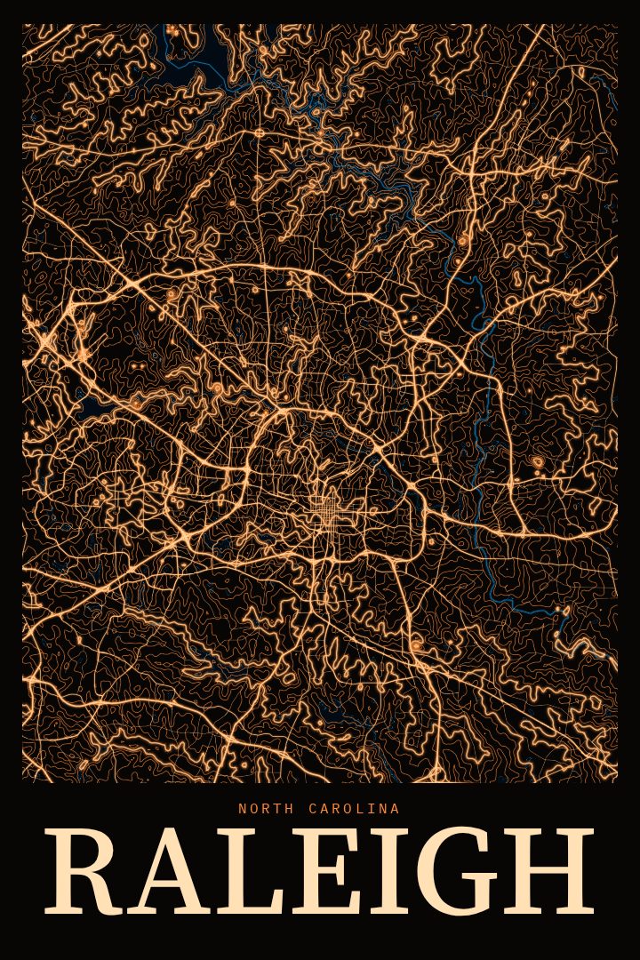
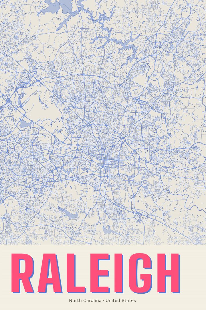
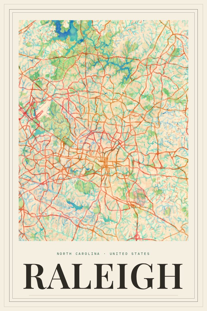
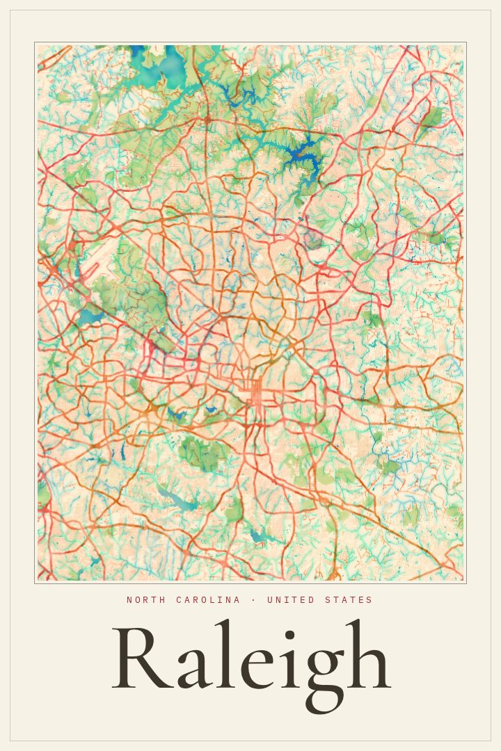
Raleigh is a city that rewards people who know it well. The capital of North Carolina, it grew from a planned grid laid out in the late eighteenth century into a sprawling, leafy place known as the City of Oaks. Downtown holds the State Capitol and a cluster of state museums, while neighborhoods spread outward along tree-lined streets toward the greenways, lakes, and suburbs that have filled in over the decades. Together with Durham and Chapel Hill, it anchors the Research Triangle, and North Carolina State University gives the city much of its energy and its red-and-white loyalties.
This print renders Raleigh's street network in the Classic style, a restrained design that lets the shape of the city carry the piece. A street map like this tends to mean the most to someone with a personal connection to the place: a first apartment near campus, a commute repeated a thousand times, a neighborhood where kids grew up, or a city left behind for somewhere else. Looking at the pattern of roads can bring back those ordinary routes in a way a photograph often doesn't.
It works well as a gift for a new homeowner, a graduate heading out into the world, or a longtime resident who simply likes the place they live. The Classic style sits comfortably in a living room, office, or hallway without competing with what's around it. As decorative art, it is meant for the wall rather than for finding the way, a quiet tribute to a city that has a way of feeling like home.
Make a custom map poster of your own routeDid it yourself? Make a poster from your own Strava activity
Route details
- Location
- North Carolina, United States
- Collection
- Cityscapes
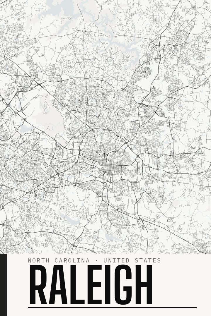
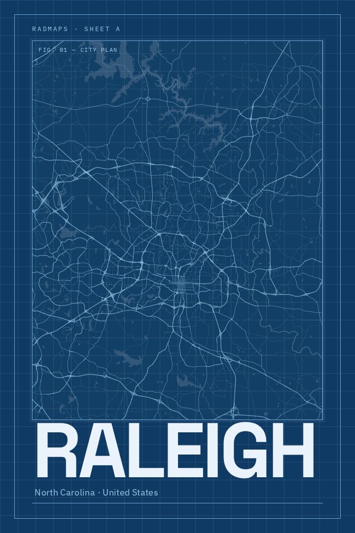
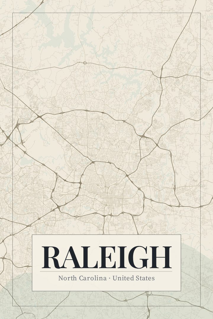
Same city, different style
Raleigh in every style
You might also like
Related map posters




Part of a collection