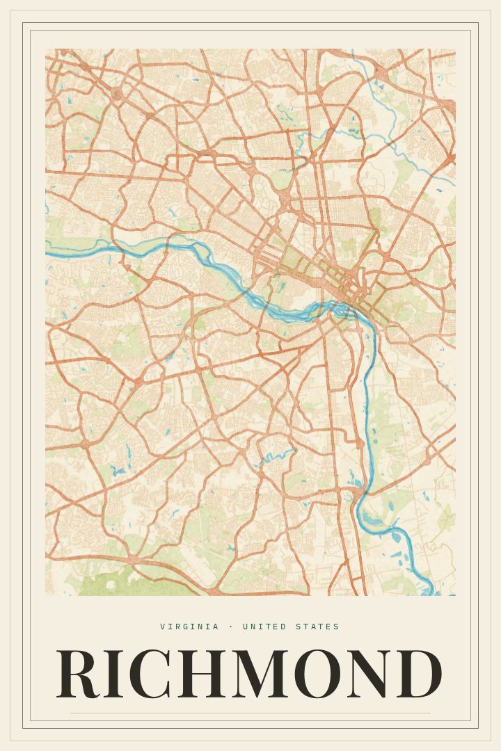
Shown at 16×24" · Archival Matte 250 gsm
Richmond City Map Poster
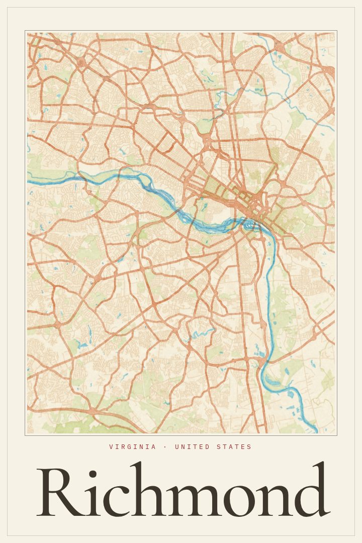
Painted Survey
About this print
Richmond map poster
Richmond is a city shaped by its river. The James runs right through it, tumbling over rocks at the fall line where the old port gave way to rapids, and the streets grew outward from those banks into one of the oldest cities in the country. As the capital of Virginia, it carries a lot of history, but day to day it is a place of rowhouse blocks, front porches, brick sidewalks, and neighborhoods with strong personalities of their own, from the Fan to Church Hill.
This print is the Richmond map in the Painted Survey edition, a softer, more painterly take on a city street map. It suits anyone who has a real tie to the place: people who grew up there, students who spent a few formative years in town, couples who met on a summer evening near the river, or anyone who still thinks of a certain corner as home after moving away. A street map has a way of bringing back specific memories, like a walk to Belle Isle, a favorite coffee shop, or the route taken to work for years.
It works well in a living room, a hallway, or a home office, and makes a thoughtful gift for a housewarming, a graduation, or a going-away party when a friend leaves the city. The poster is decorative art meant for the wall, not a navigation tool. Size and finish options are listed on this page, so the print can be matched to the space where it will hang.
Make a custom map poster of your own routeDid it yourself? Make a poster from your own Strava activity
Route details
- Location
- Virginia, United States
- Collection
- Cityscapes
Same city, different style
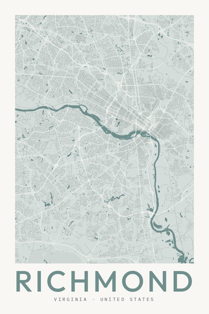
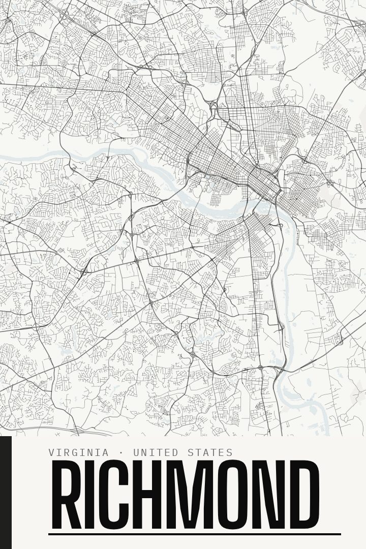
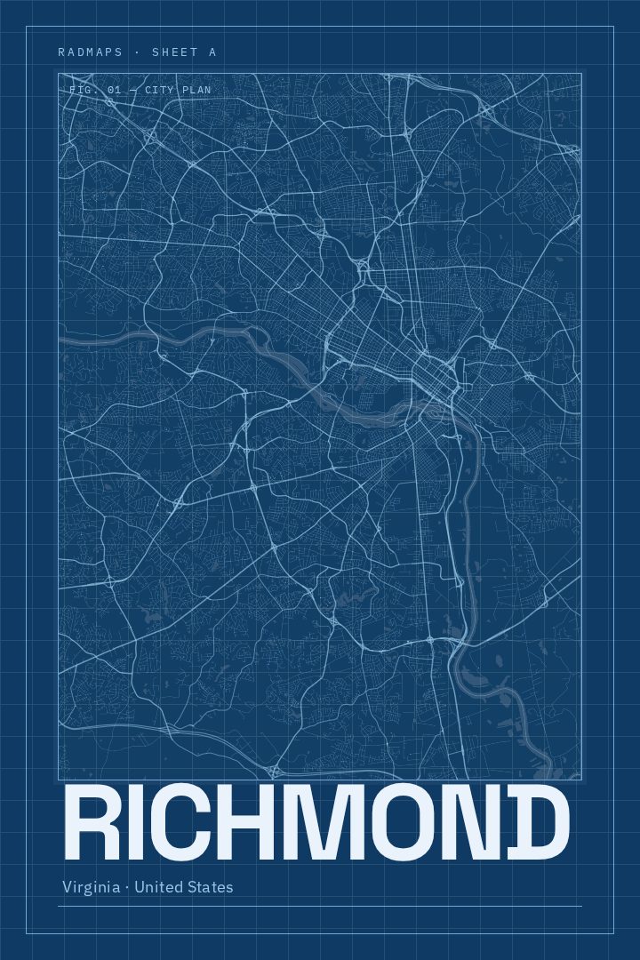
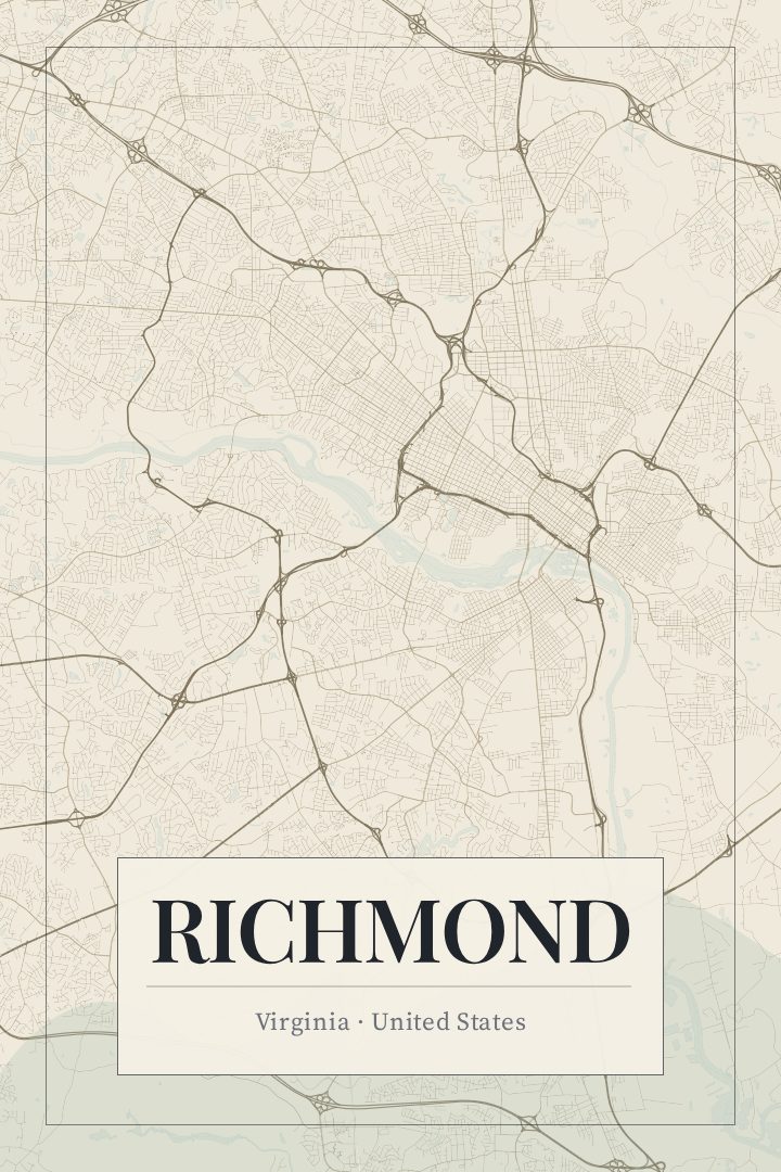
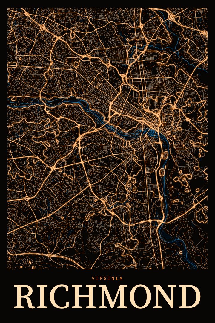
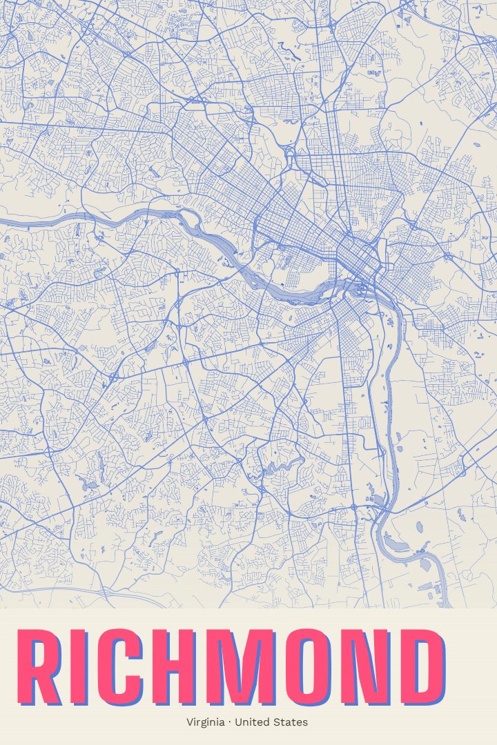
Richmond in every style
You might also like
Related map posters




Part of a collection