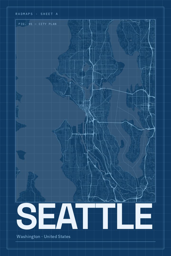
Shown at 16×24" · Archival Matte 250 gsm
Seattle City Map Poster
Blueprint
About this print
Seattle map poster
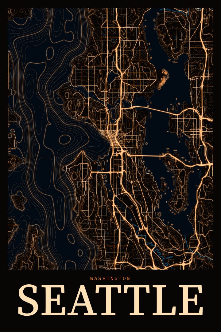
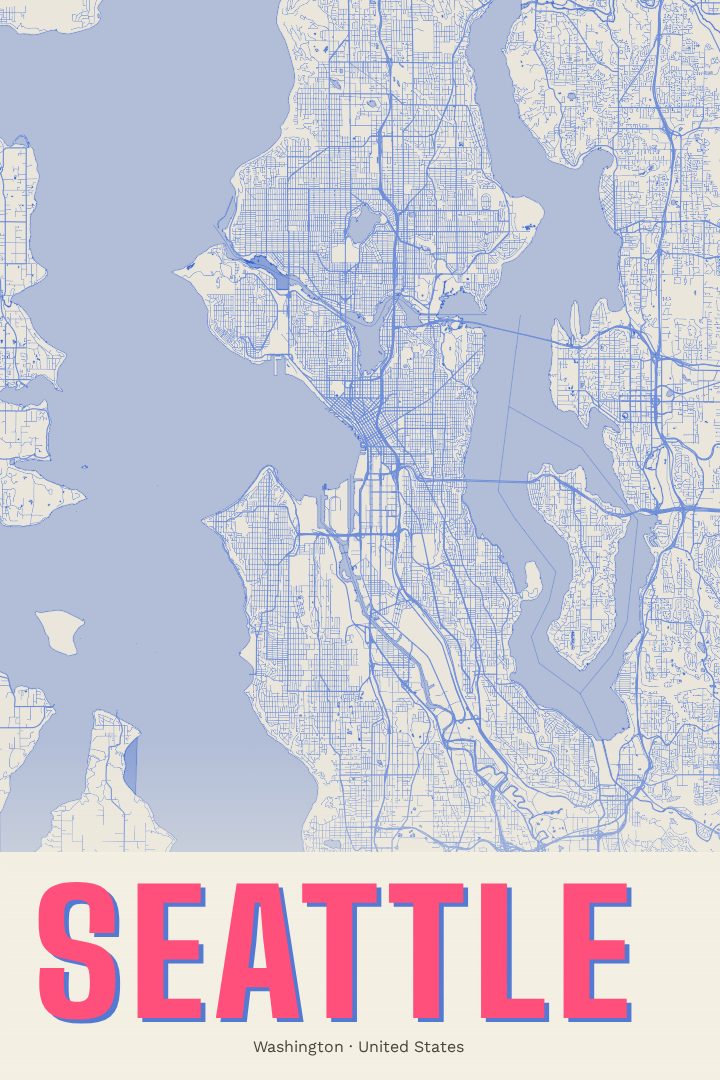
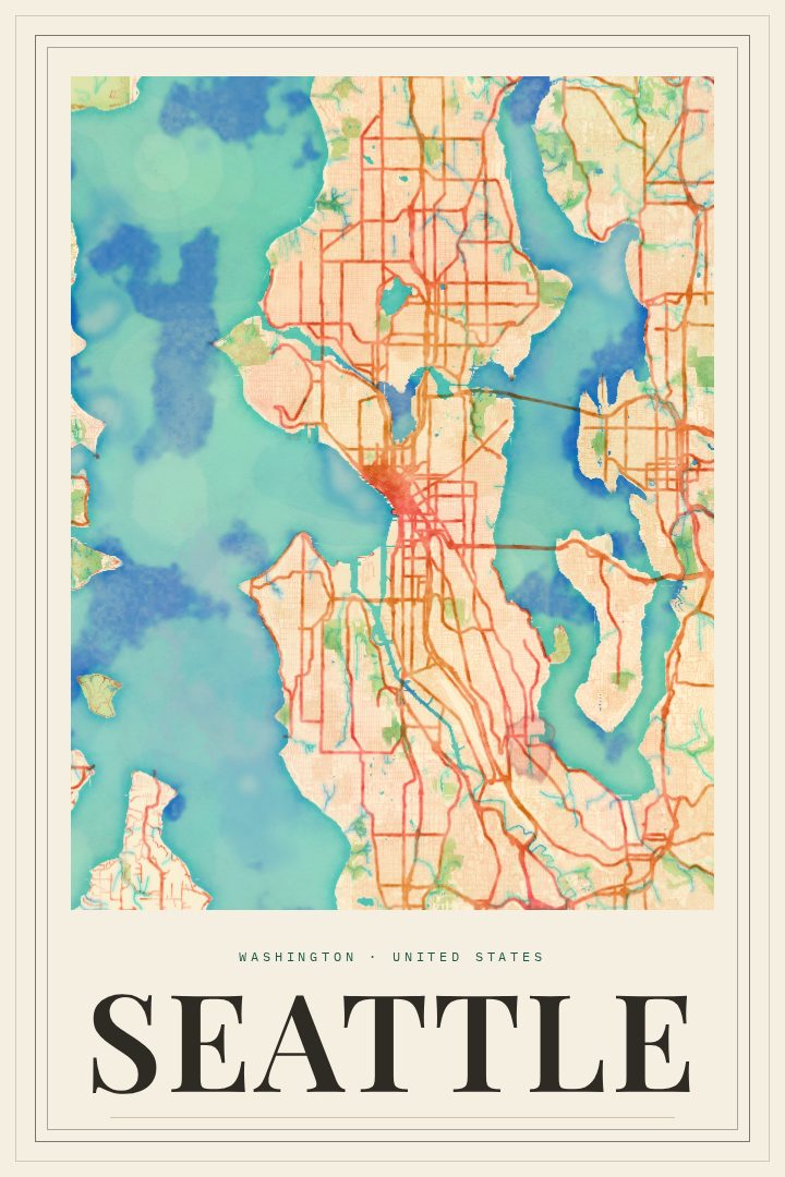
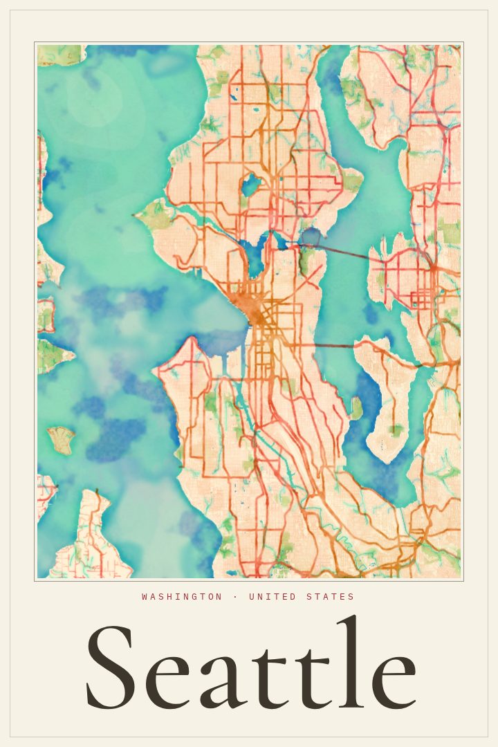
Seattle is a city shaped by water and hills. Elliott Bay sits to the west, Lake Washington runs along its eastern side, and Lake Union and the Ship Canal cut through the middle, so neighborhoods tend to feel like their own small towns, each tied to a shoreline or a ridge. Queen Anne, Capitol Hill, Ballard, Fremont, Columbia City and West Seattle all have distinct personalities, and anyone who has lived there knows the particular route they took between them, over a bridge, up a steep block, past the ferry docks.
This print presents Seattle's streets in the Blueprint style, a visual design that brings a technical, drafted character to the city's layout. It suits a place known for engineering and building, from the Space Needle to the working waterfront to the bridges that stitch the city together across its lakes and canals. The style keeps the focus on structure and line, which makes it an easy fit for a study, an office, or a hallway that needs something with a little precision to it.
It works well as a reminder of a first apartment, a long stretch of years spent in the Pacific Northwest, or a city someone moved away from but still thinks about on gray mornings. It also makes a thoughtful gift for a new Seattle resident, an architect or engineer, or anyone who simply likes the look of a city drawn with care. The poster is decorative art for the wall and is not meant for navigation, just a quiet way to keep a favorite city close.
Make a custom map poster of your own routeDid it yourself? Make a poster from your own Strava activity
Route details
- Location
- Washington, United States
- Collection
- Cityscapes
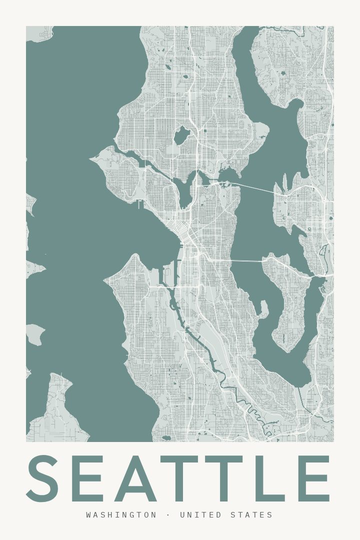
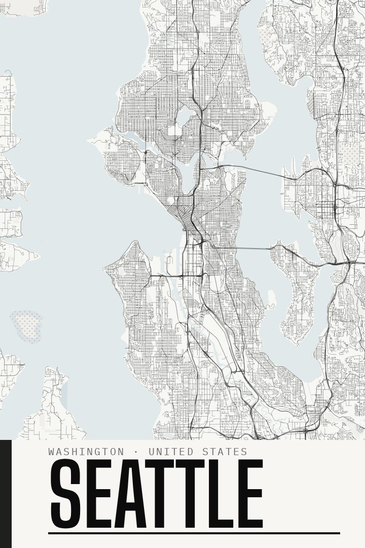
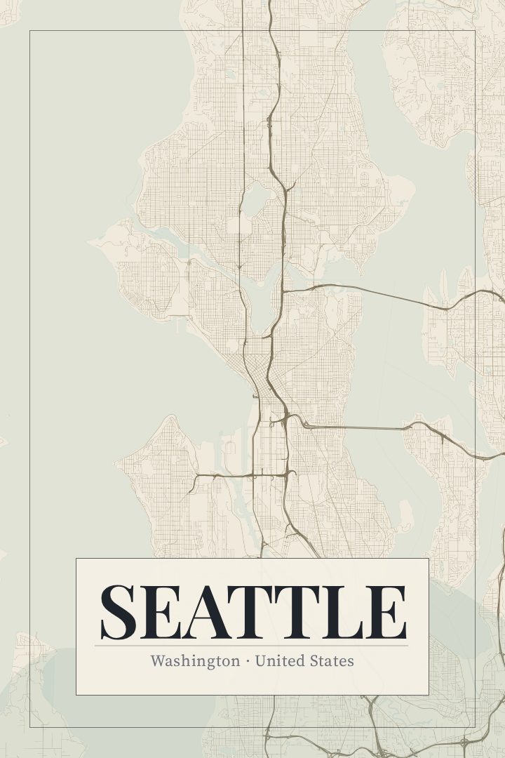
Same city, different style
Seattle in every style
You might also like
Related map posters




Part of a collection