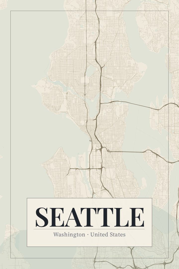
Shown at 16×24" · Archival Matte 250 gsm
Seattle City Map Poster
Cartouche
About this print
Seattle map poster
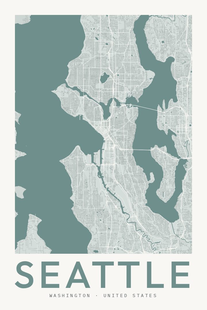
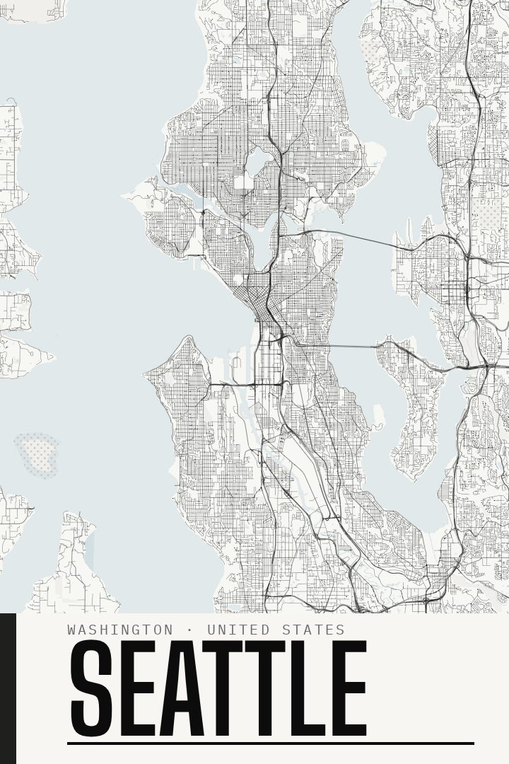
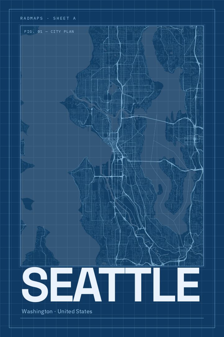
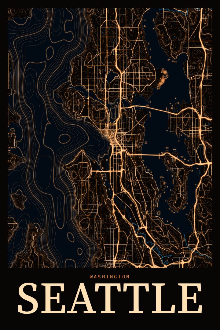
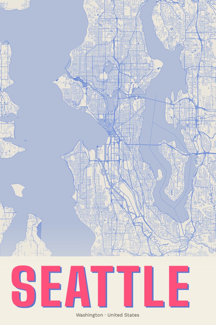
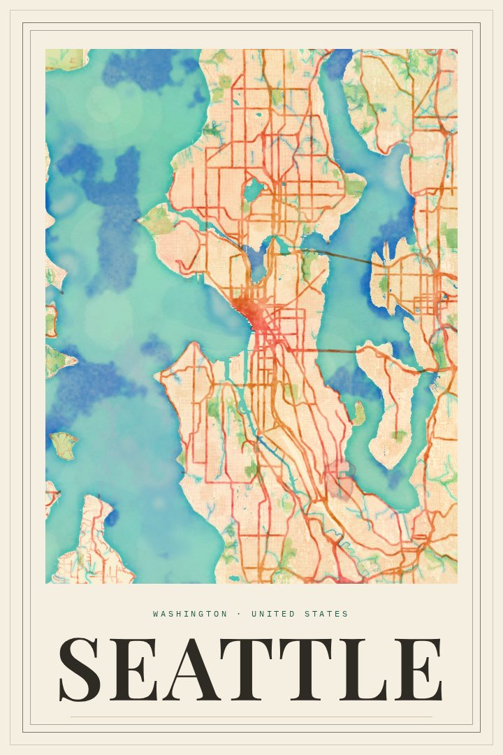
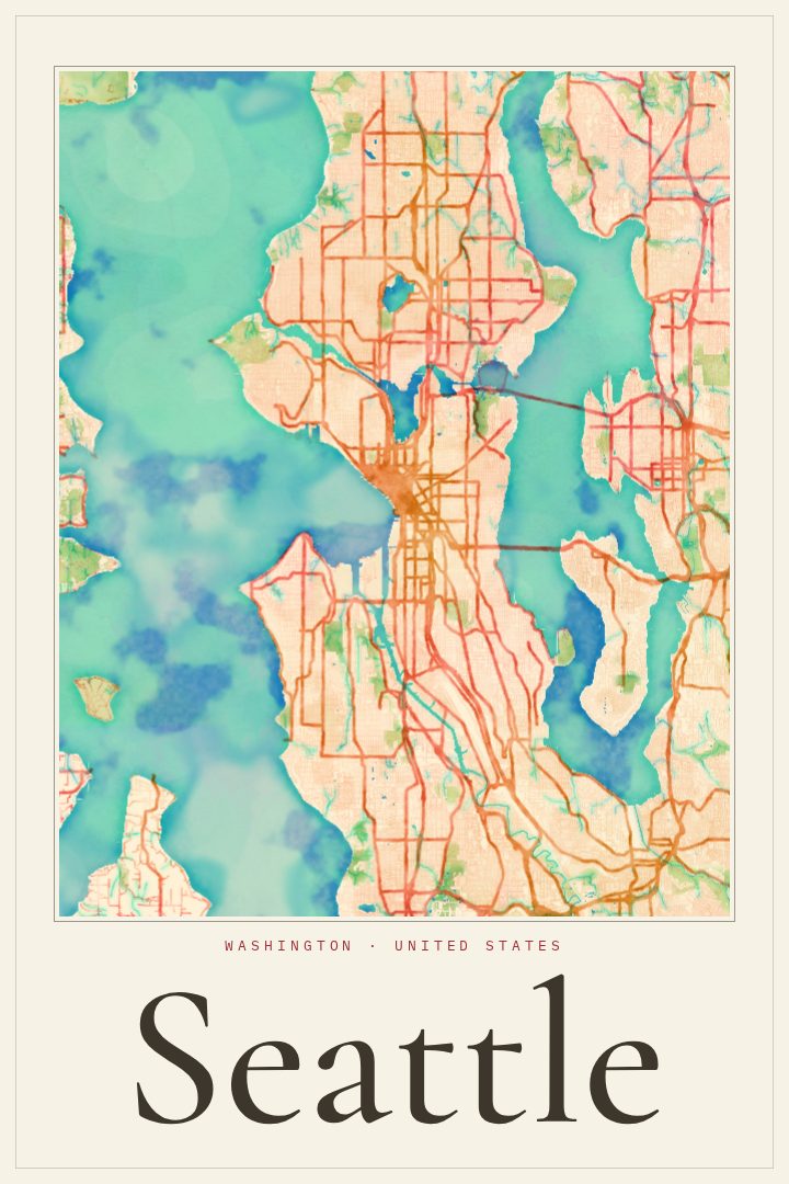
Seattle is a city shaped by water. Puget Sound and Elliott Bay lie to the west, Lake Washington runs along the east side, and Lake Union and the Ship Canal cut through the middle. As a result, the street grid keeps bending, breaking, and picking up again on the far side of a bridge or a hill. That pattern of neighborhoods stitched together across water and steep ground is a big part of why the city reads so well as a map.
This print presents Seattle's streets in the Cartouche edition, one of the RadMaps design styles. For anyone who has lived there, the layout of the city tends to bring back specific things: a ferry ride out of downtown, an afternoon at Pike Place Market, the Space Needle seen from a neighborhood hill, or a daily commute that always seemed to involve a bridge. For people who have only visited, it offers a way to hold on to a sense of how the place fits together.
As decorative art, it suits a home office, a hallway, or a first apartment. It also makes a thoughtful gift for someone moving to Seattle, leaving it, or still missing it years later. It is meant to be looked at and remembered by, not used for getting around. The available options are listed on this page.
Make a custom map poster of your own routeDid it yourself? Make a poster from your own Strava activity
Route details
- Location
- Washington, United States
- Collection
- Cityscapes
Same city, different style
Seattle in every style
You might also like
Related map posters




Part of a collection