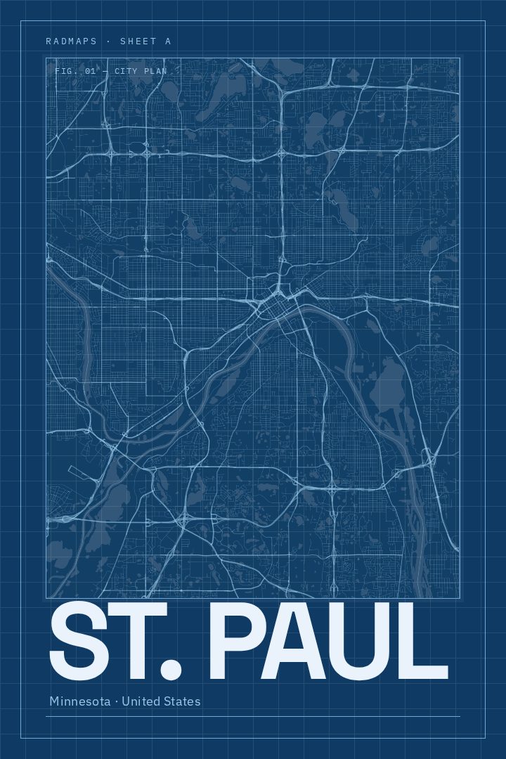
Shown at 16×24" · Archival Matte 250 gsm
St. Paul City Map Poster
Blueprint
About this print
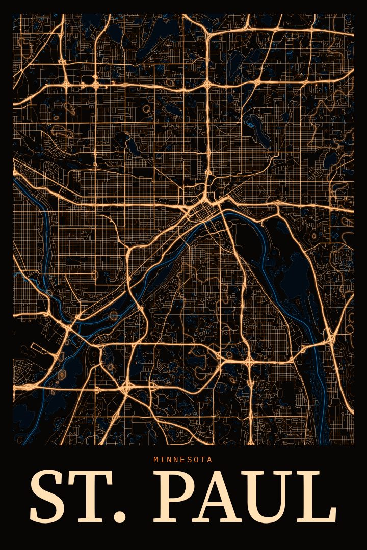
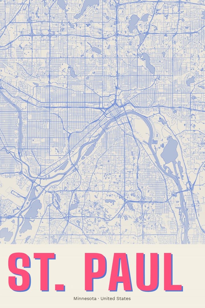
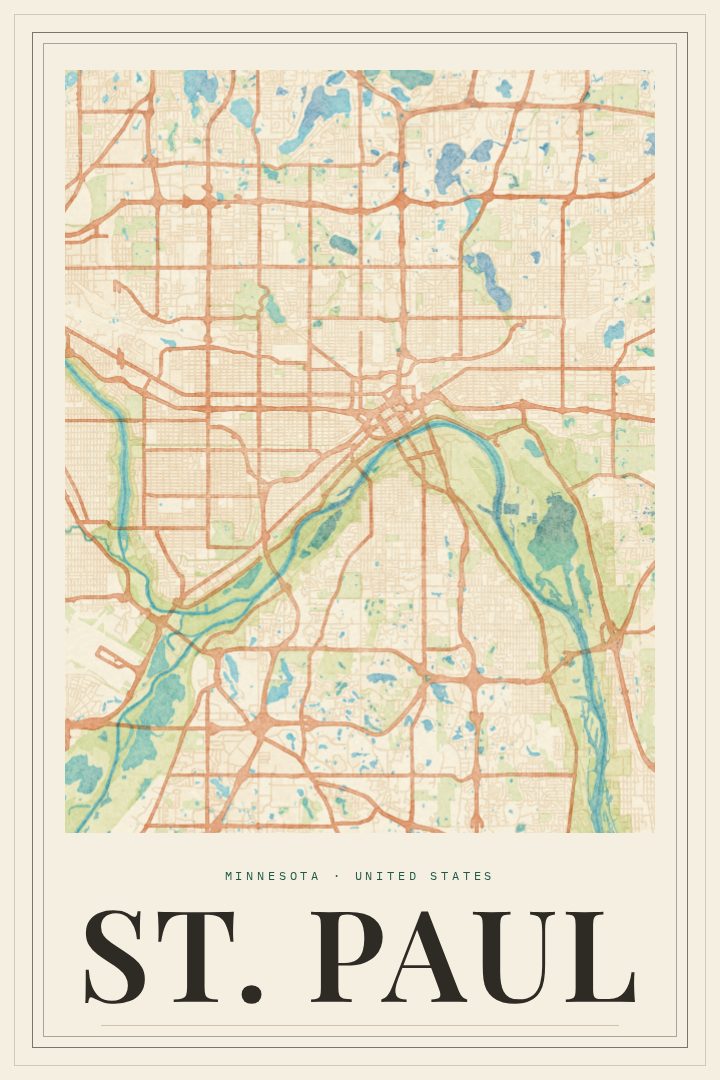
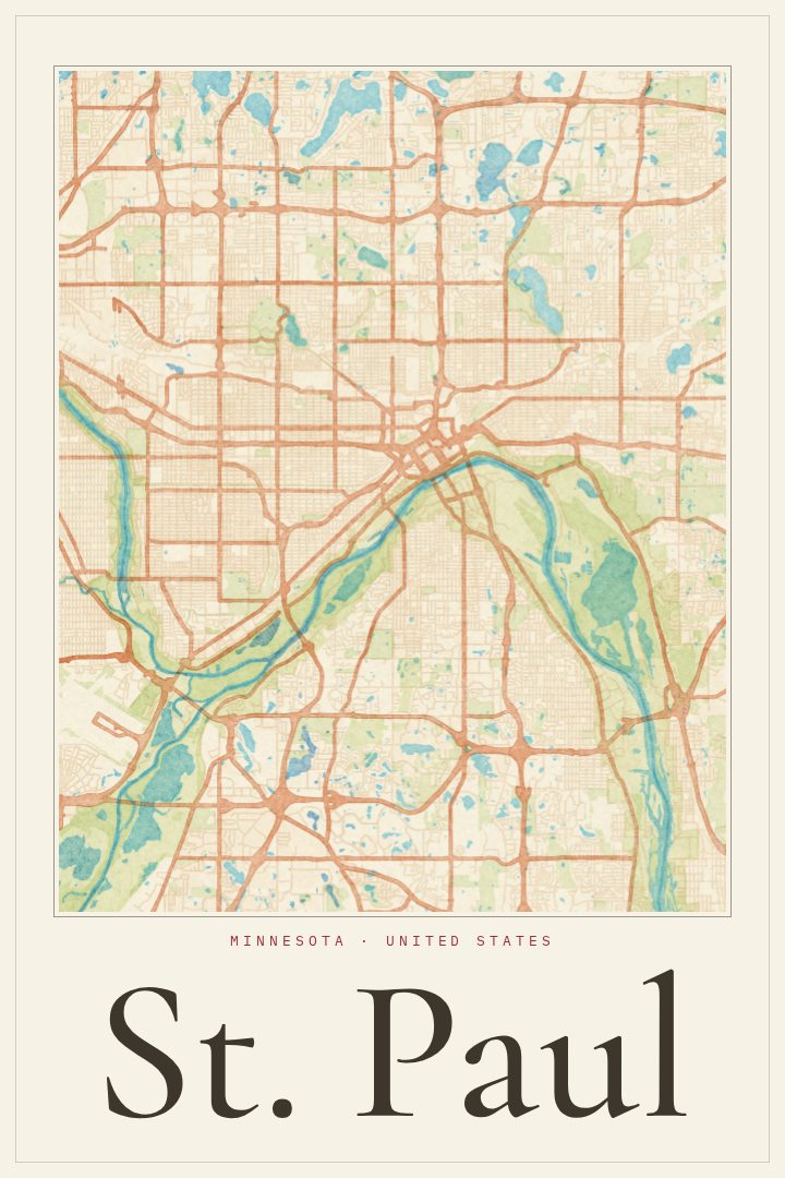
St. Paul map poster
St. Paul sits along the bluffs of the Mississippi River, the quieter half of the Twin Cities and the capital of Minnesota. It is a city of older brick neighborhoods, Victorian houses along Summit Avenue, the domed State Capitol on its hill, and the Cathedral of Saint Paul looking out over downtown. People who have lived here tend to describe it by its streets: the walk home from a corner bar, the route to a favorite bakery, the long winters spent learning which blocks get plowed first.
This print renders St. Paul's street grid in the Blueprint style, a cool, technical design that treats the city like a drawing on a drafting table. The look suits a place with this much history in its layout, where river bends, rail lines and old neighborhood boundaries have shaped how the streets run. It reads as clean and architectural from across a room, with enough detail to reward a closer look when someone stops to trace a familiar part of town.
It works well for anyone with a tie to the city: a longtime resident, a former student who still thinks about Grand Avenue, a family that moved away but kept the accent, or a couple marking their first home together. It also makes a thoughtful housewarming or farewell gift for someone leaving the Twin Cities. As a piece of decorative art, it belongs in a home office, entryway or living room, a quiet reminder of a city that rewards the people who take the time to know it.
Make a custom map poster of your own routeDid it yourself? Make a poster from your own Strava activity
Route details
- Location
- Minnesota, United States
- Collection
- Cityscapes
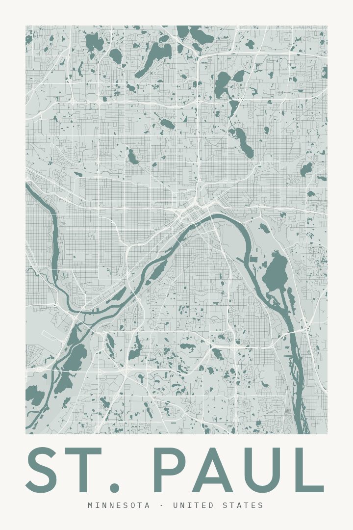
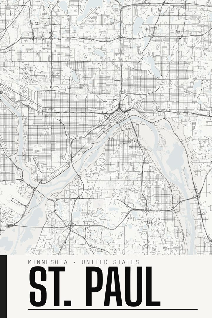
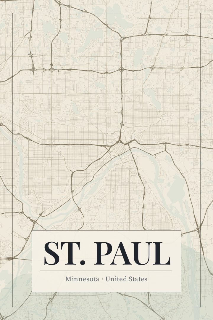
Same city, different style
St. Paul in every style
You might also like
Related map posters




Part of a collection