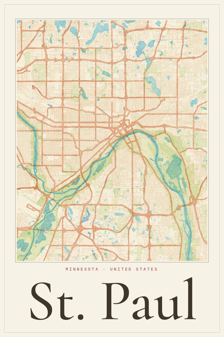
Shown at 16×24" · Archival Matte 250 gsm
St. Paul City Map Poster
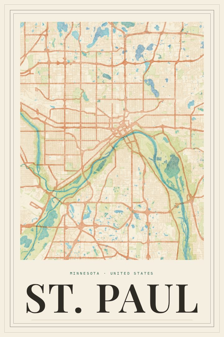
Watercolor
About this print
St. Paul map poster
St. Paul is Minnesota's capital, a river city built on bluffs above the Mississippi, across the water from its larger twin, Minneapolis. It has a reputation as the quieter, older-feeling half of the Twin Cities, with brick warehouses in Lowertown, grand houses along Summit Avenue, and neighborhoods where people tend to stay for decades. This poster renders the city's street grid in the Watercolor style, a soft, painterly look that suits a place known for its long winters, summer porches, and tree-lined blocks.
A city map makes a personal kind of wall art. For someone who grew up in St. Paul, went to school there, or spent their first years of adulthood in an apartment near Grand Avenue, the shape of the streets can carry a lot of memory. It works just as well as a gift for a friend who moved away and still talks about the Winter Carnival, the State Capitol dome, or long walks along the river. The Watercolor treatment keeps the piece gentle rather than technical, so it sits comfortably in a living room, bedroom, or home office without reading like a reference chart.
This print is meant purely as decoration, a way to keep a favorite city close, not a tool for getting around it. Paired with a print of Minneapolis, it can mark both sides of the Twin Cities, or it can stand alone as a quiet reminder of home.
Make a custom map poster of your own routeDid it yourself? Make a poster from your own Strava activity
Route details
- Location
- Minnesota, United States
- Collection
- Cityscapes
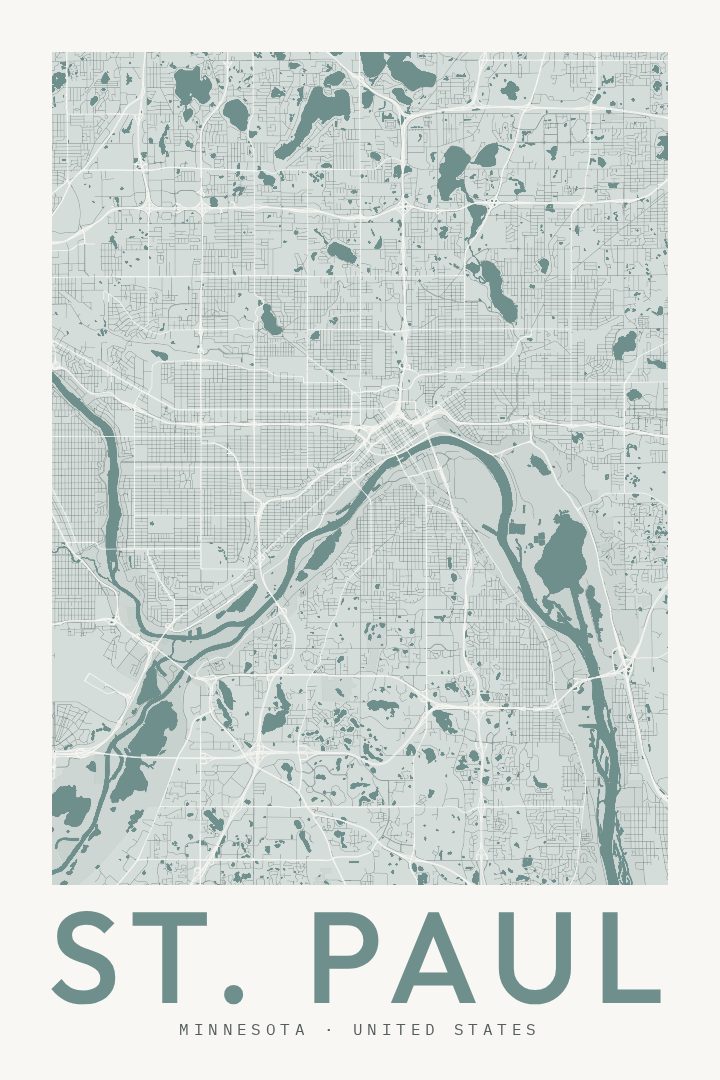
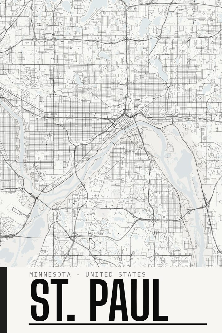
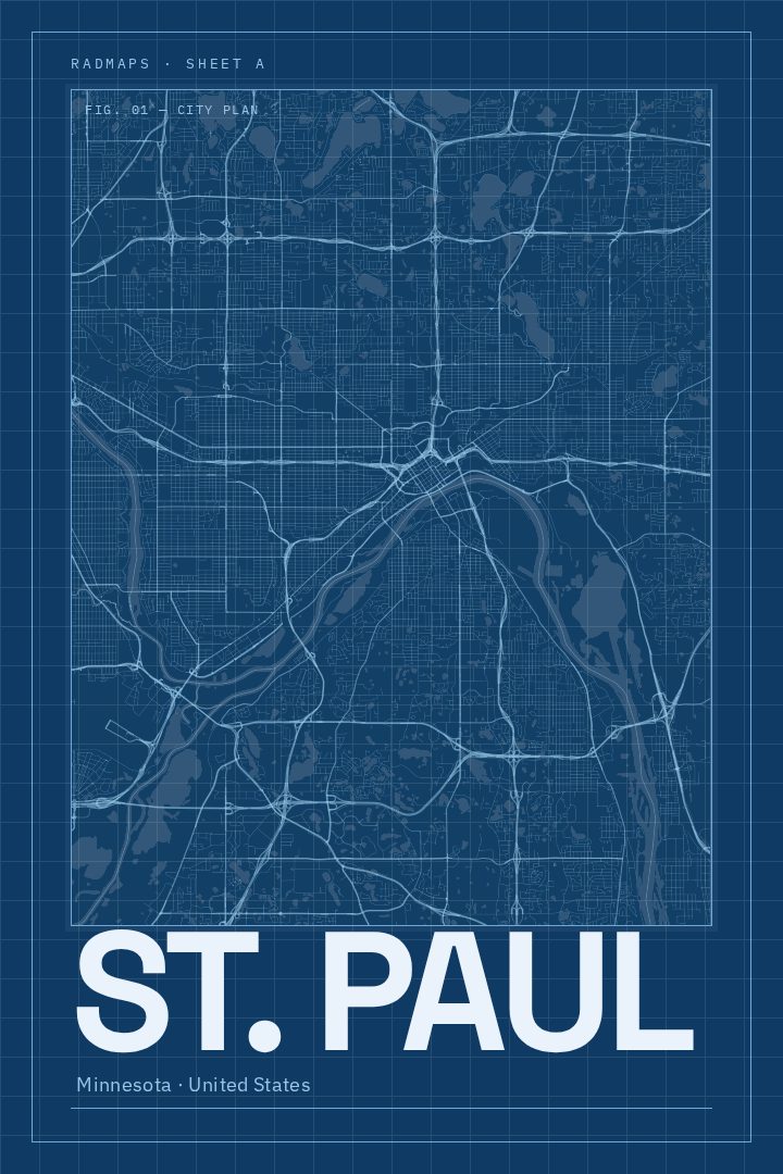
Same city, different style
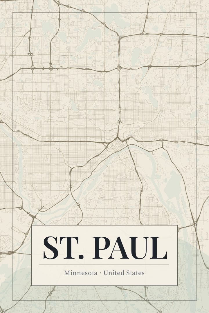
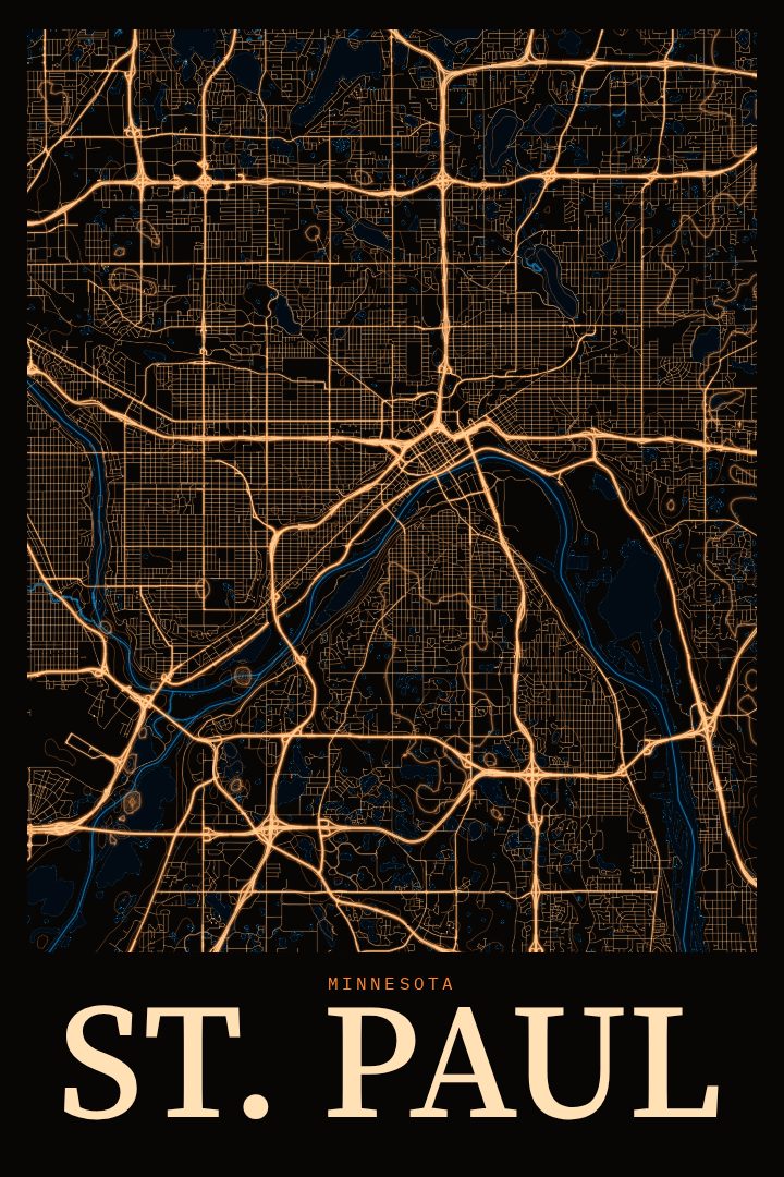
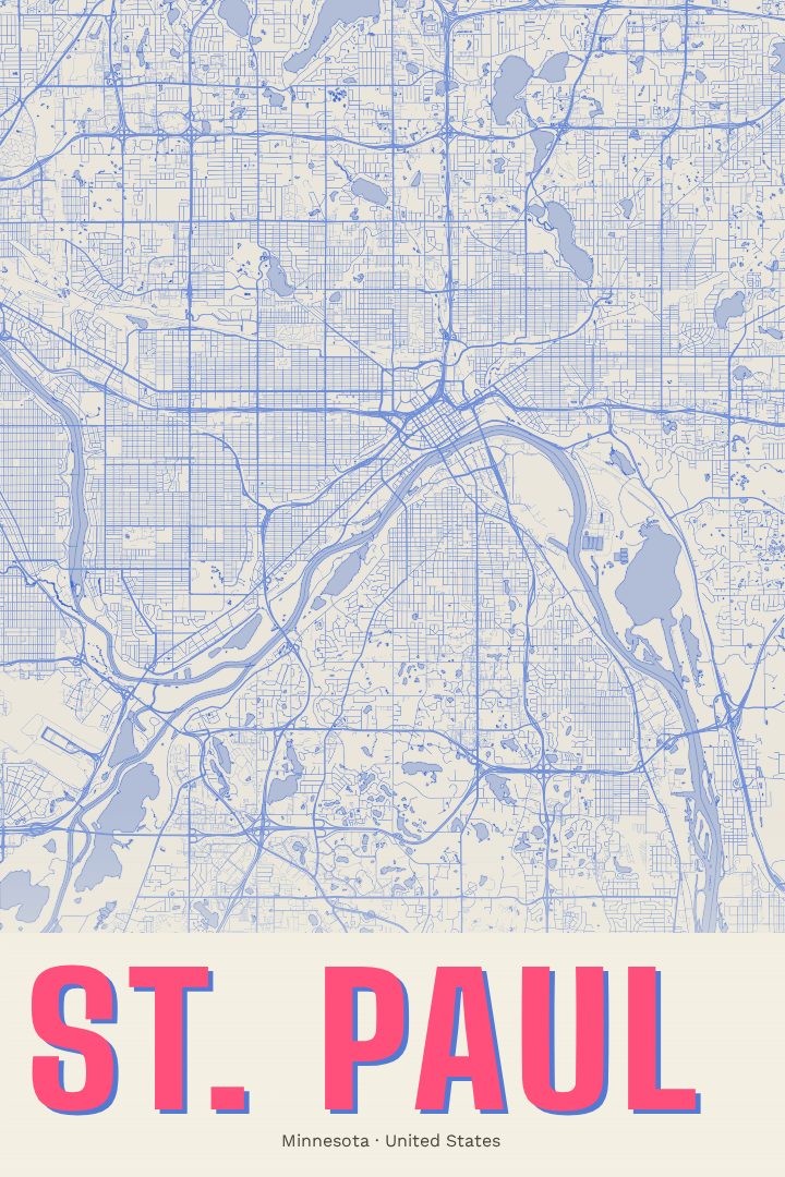
St. Paul in every style
You might also like
Related map posters




Part of a collection