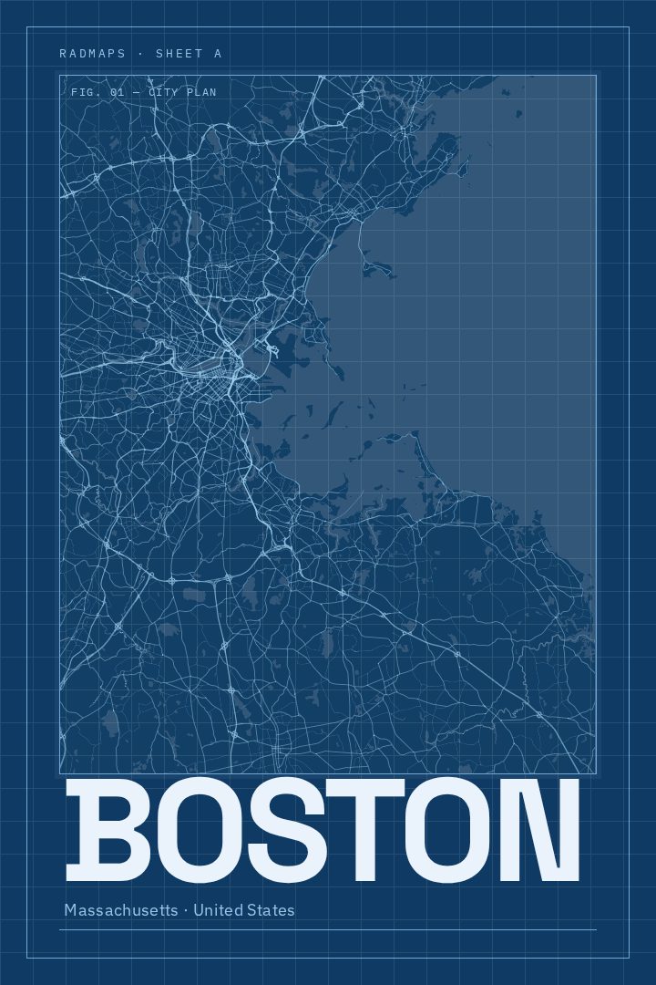
Shown at 16×24" · Archival Matte 250 gsm
Boston City Map Poster
Blueprint
About this print
Boston map poster
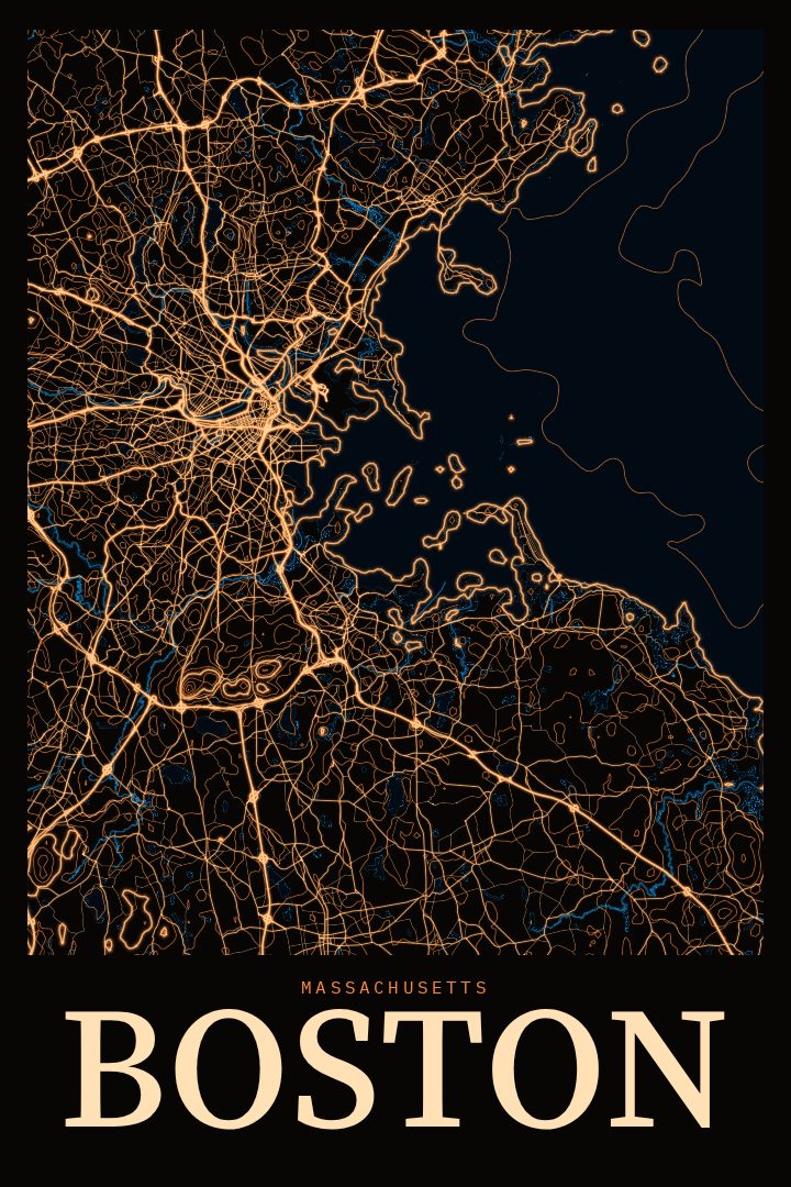
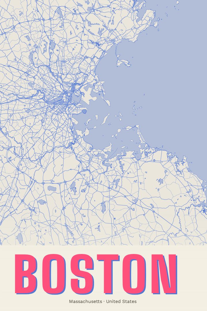
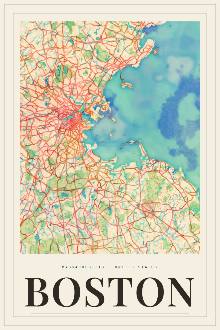
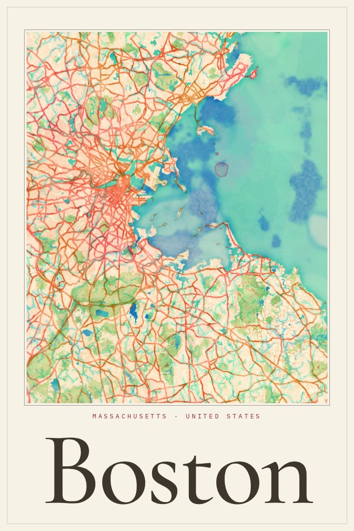
Boston is a city best understood on foot, and its street grid tells much of its story. Lanes that began as colonial-era paths still bend and cross at odd angles near the old harbor, while later neighborhoods were laid out in tidier blocks on land filled in from the tidal flats. The Charles River separates the city from Cambridge, and the harbor has shaped Boston's character from the start: a working port, a center of early American history, and today a place of universities, hospitals, ballparks, and brick row houses.
This print renders Boston, Massachusetts in the Blueprint style, a visual design that gives the city the look of a technical drawing. It suits a city where so much feels carefully built over time, from the Freedom Trail's historic stops to the brownstones of the Back Bay and the bridges reaching across the river. The style reads as clean and deliberate, which makes it an easy fit for a study, an office, or a hallway where a map can be enjoyed up close.
People who studied here, worked here, grew up in one of the neighborhoods, or simply fell for the city on a visit often want something that holds onto that connection without being a souvenir. A street map does that quietly. It invites a second look, the kind that ends with someone tracing a familiar commute or a favorite walk with a finger. The poster is meant as decorative art for the wall rather than a guide for getting around, and it makes a thoughtful gift for anyone who calls Boston home or wishes they did.
Make a custom map poster of your own routeDid it yourself? Make a poster from your own Strava activity
Route details
- Location
- Massachusetts, United States
- Collection
- Cityscapes
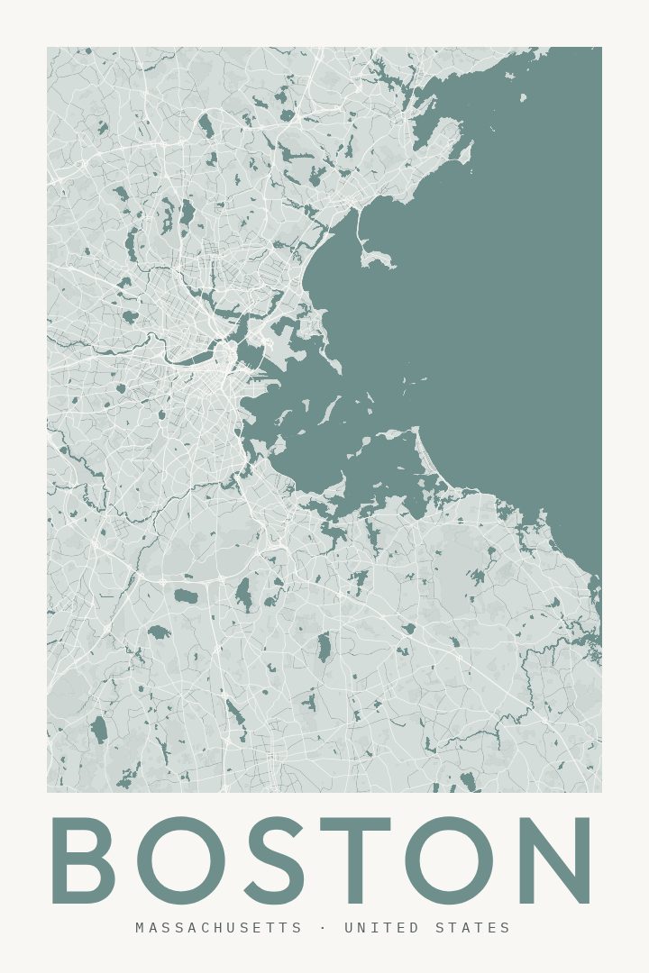
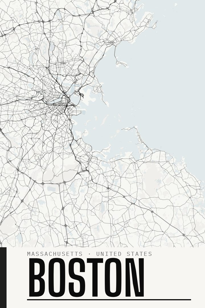
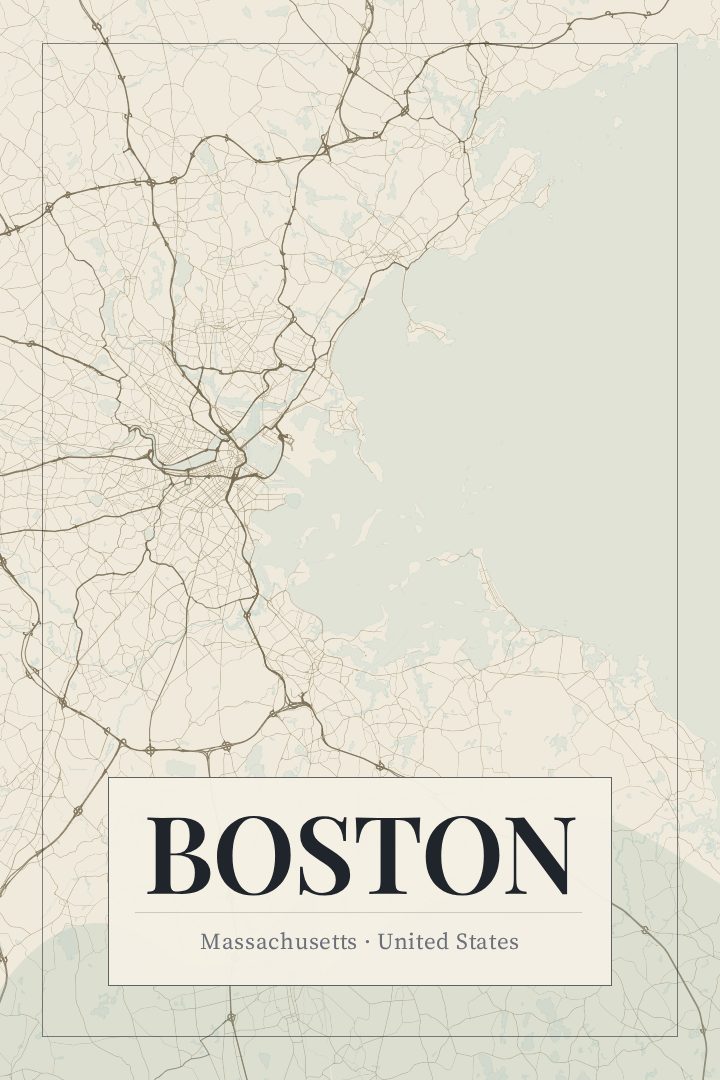
Same city, different style
Boston in every style
You might also like
Related map posters




Part of a collection