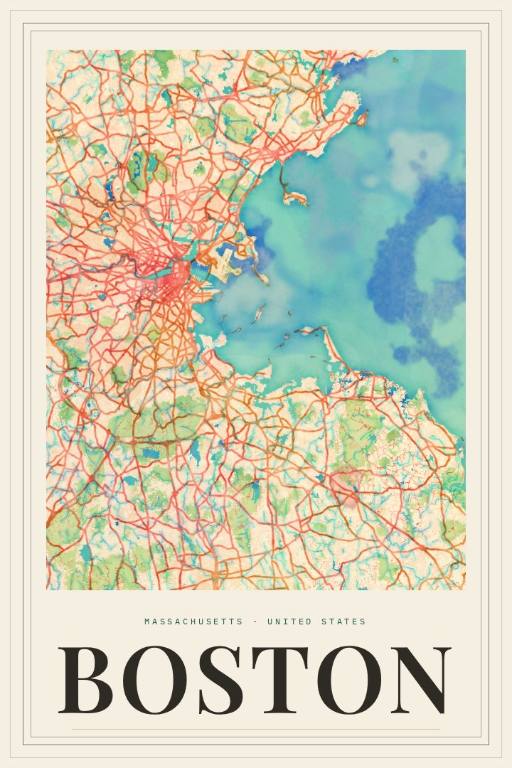
Shown at 16×24" · Archival Matte 250 gsm
Boston City Map Poster
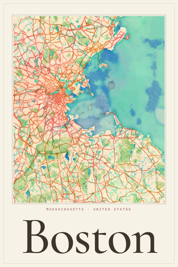
Painted Survey
About this print
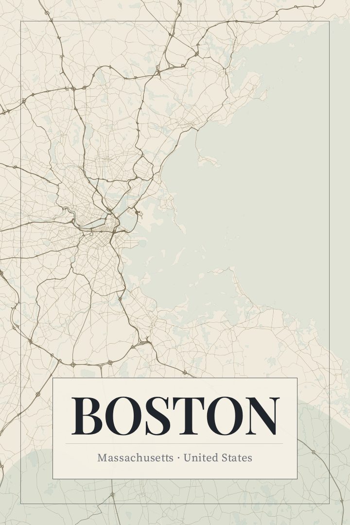
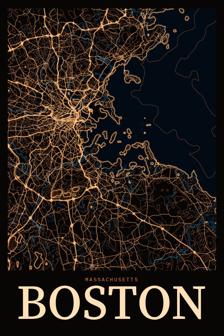
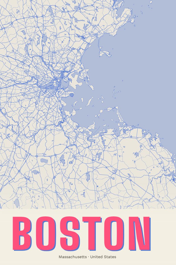
Boston map poster
Boston is a city best understood on foot, where colonial-era lanes bend around later grids and the shape of the land itself has been reworked over centuries of filling marshes and tidal flats. This street map poster captures that layered character in the Painted Survey style, offering a way to bring the city's distinctive pattern of streets into a home or office. It suits anyone who has lived in Boston, studied there, or simply carries a fondness for the place.
Few American cities pack so much history into such a compact footprint. The Charles River separates Boston from Cambridge, the harbor shapes its eastern edge, and the Freedom Trail threads through some of the oldest corners of the country. Neighborhoods such as Beacon Hill, the North End, and the Back Bay each have their own texture, from crooked brick-lined streets to the orderly blocks laid out on filled land. A map of the city reflects all of that variety, and the irregular street plan makes for an especially interesting composition on the wall.
The Painted Survey edition is a visual design style with a soft, artful feel, produced digitally and meant to be enjoyed as decorative art rather than used for navigation. It works well as a reminder of a first apartment, a graduation, a marathon weekend, or years spent commuting along familiar routes. It also makes a thoughtful gift for someone who has moved away from Massachusetts and misses the city, or for a new arrival settling in. The product options on this page list the available formats so the print can be matched to the space it will occupy.
Make a custom map poster of your own routeDid it yourself? Make a poster from your own Strava activity
Route details
- Location
- Massachusetts, United States
- Collection
- Cityscapes
Same city, different style
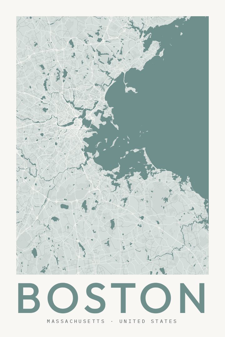
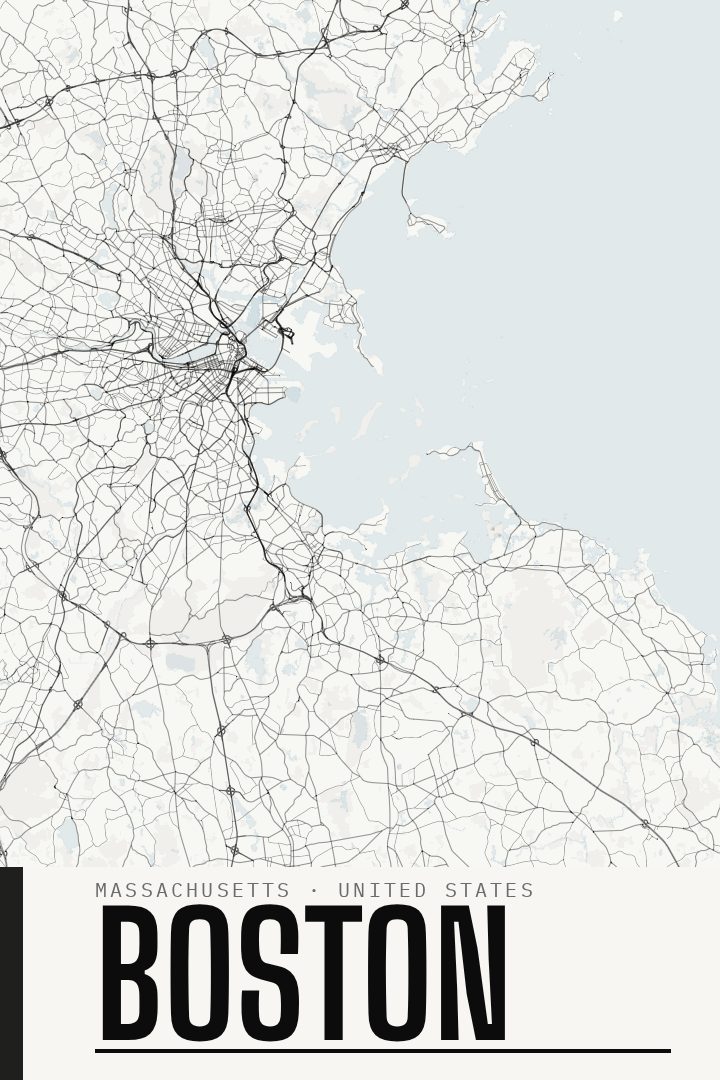
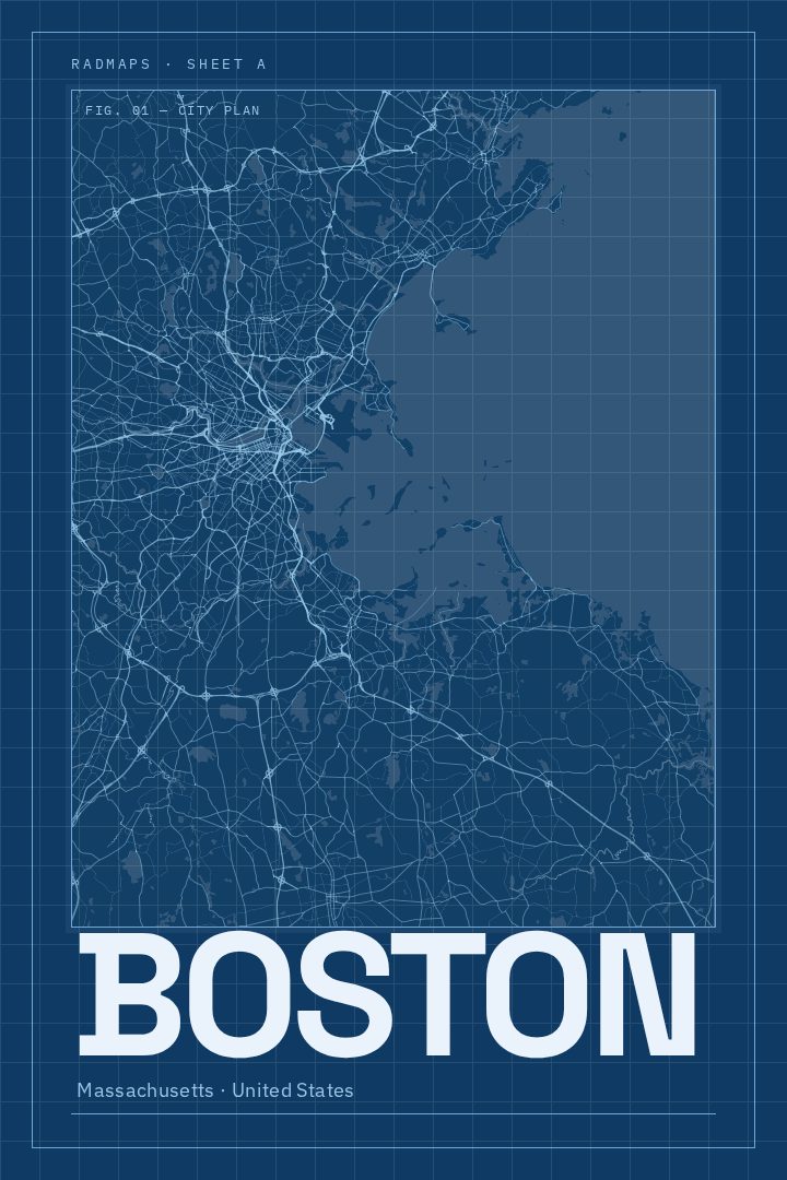
Boston in every style
You might also like
Related map posters




Part of a collection