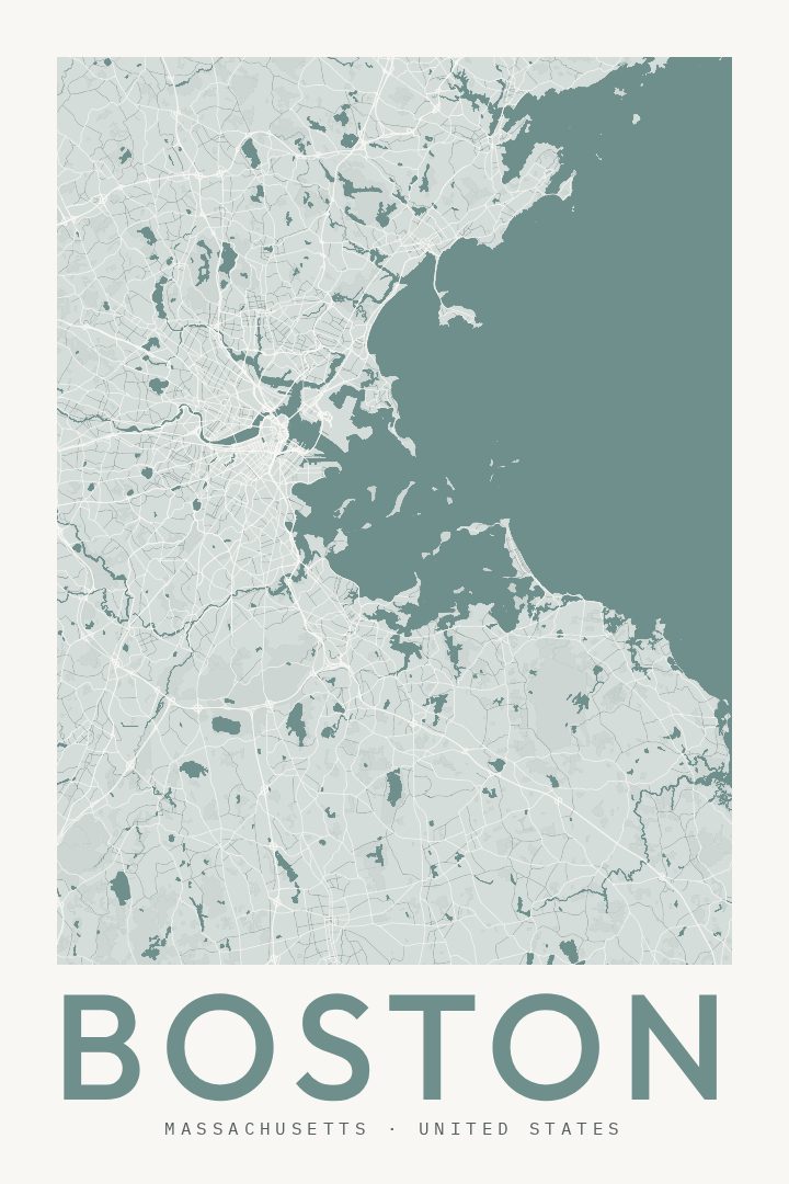
Shown at 16×24" · Archival Matte 250 gsm
Boston City Map Poster
Classic
About this print
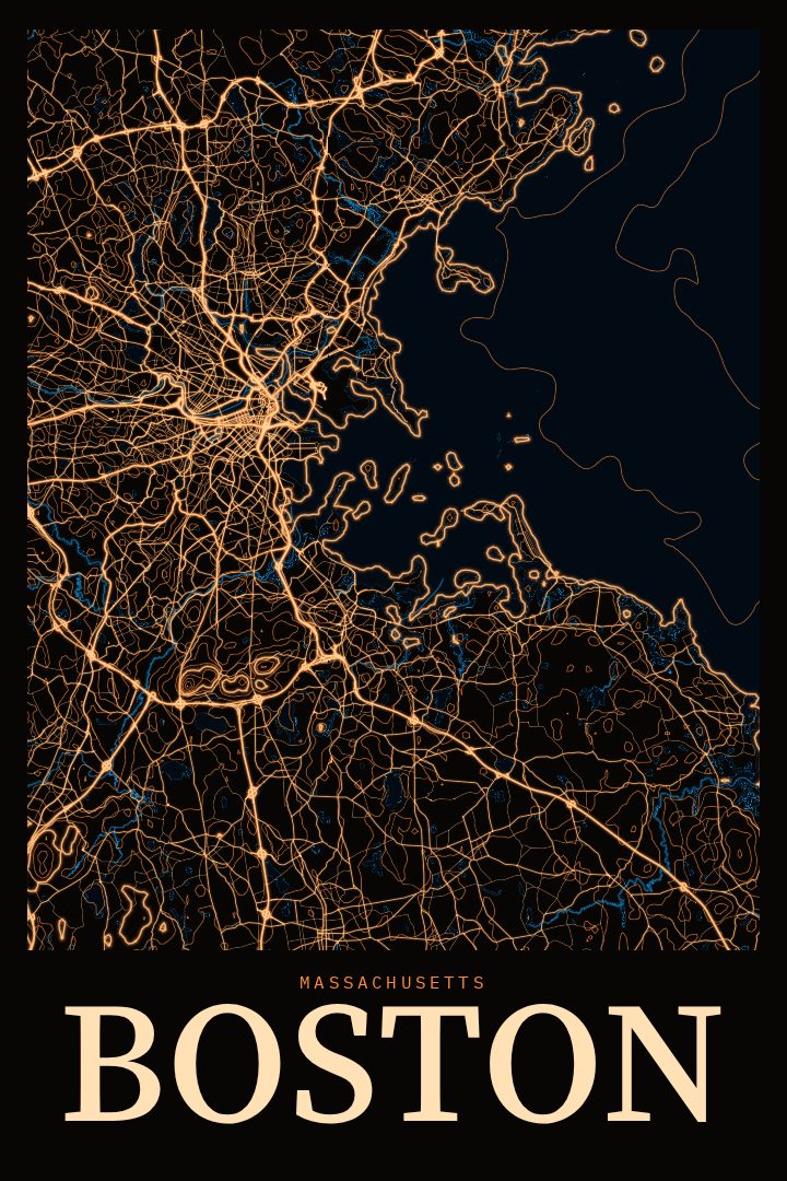
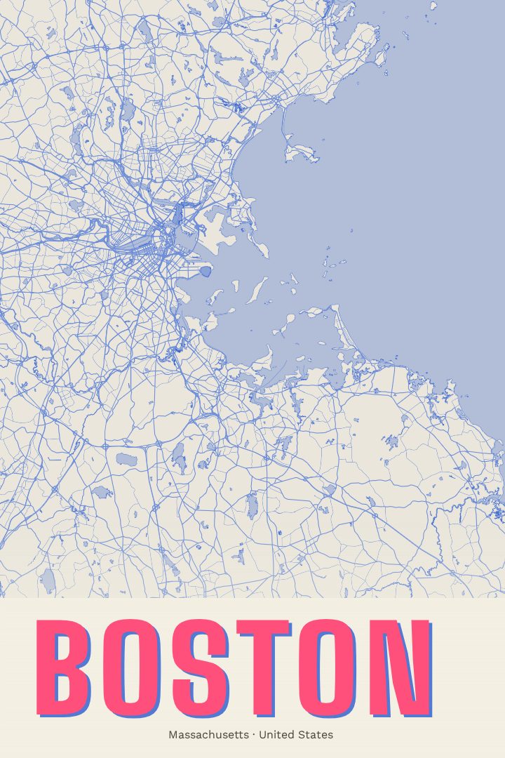
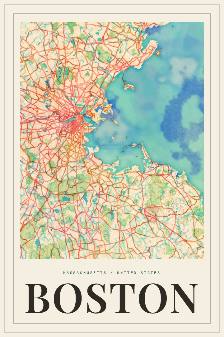
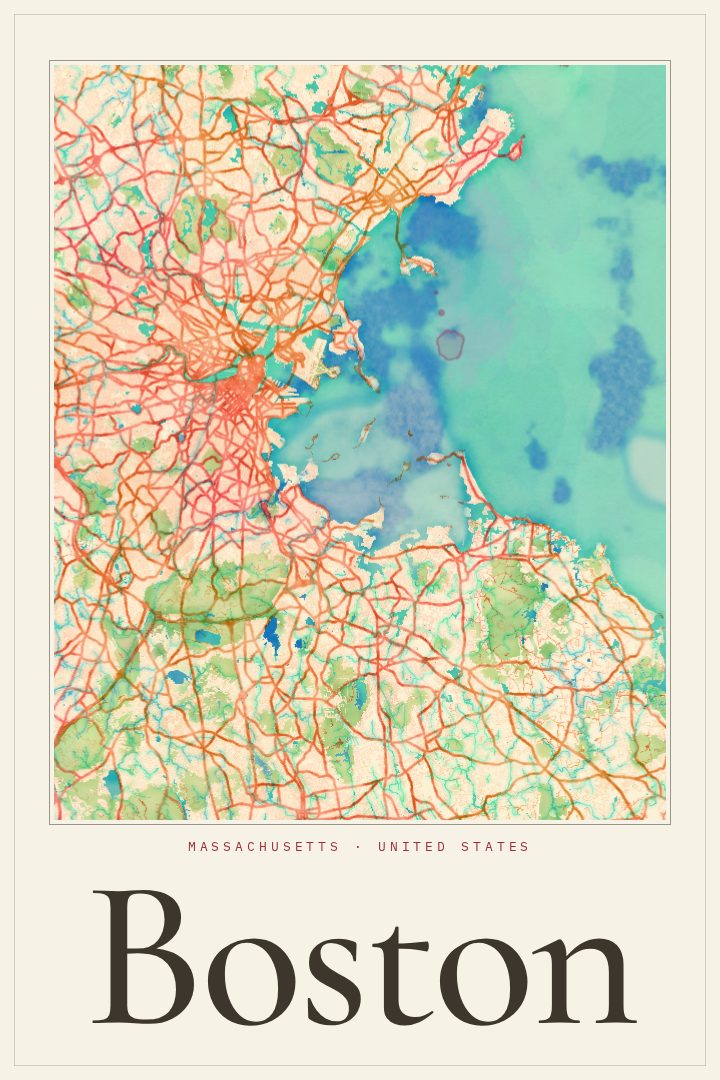
Boston map poster
Boston is a city that rewards people who know it on foot. Its streets grew out of old paths and shorelines rather than a tidy grid, so they bend, fork, and meet at odd angles, and anyone who has lived there or visited for a while carries a mental map shaped by those quirks. This Classic street map poster of Boston, Massachusetts is a way to keep that map on the wall, whether the connection is a first apartment, a college stretch, a hometown, or a long weekend that left a mark.
The city has plenty to hang memories on. The Charles River separates Boston from Cambridge, with the Esplanade running along its bank. Boston Common, the oldest public park in the country, sits beside the Public Garden near the center of town. The Freedom Trail links historic sites through downtown and the North End, and the harbor has shaped the city's history and character from the start. Neighborhoods like Back Bay, Beacon Hill, the South End, and Charlestown each have their own feel, and most people who know Boston have a favorite.
The Classic edition is a design style meant to sit comfortably in a home or office, giving the city's layout a clean, timeless treatment rather than a loud one. It is decorative art, made to be looked at and talked about, not used for getting around. It suits a living room, a hallway, or a desk wall, and it makes a thoughtful gift for a graduate, someone who has moved away, or a friend who still calls Boston home.
Make a custom map poster of your own routeDid it yourself? Make a poster from your own Strava activity
Route details
- Location
- Massachusetts, United States
- Collection
- Cityscapes
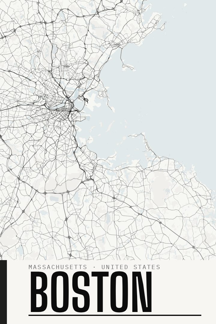
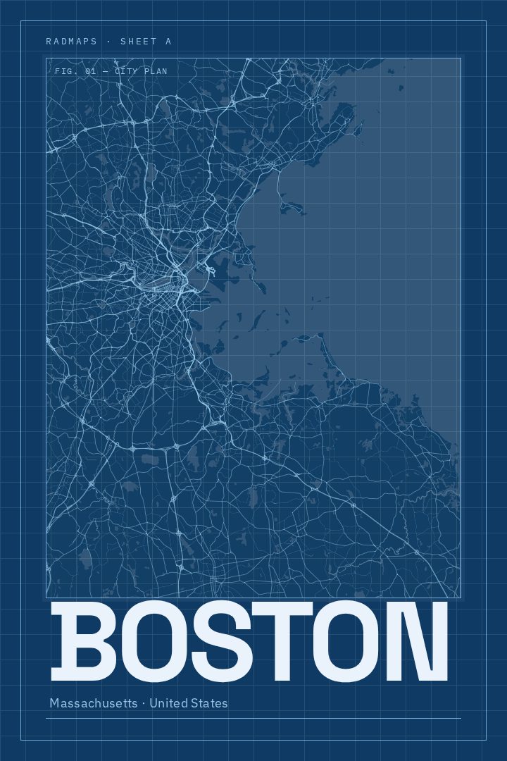
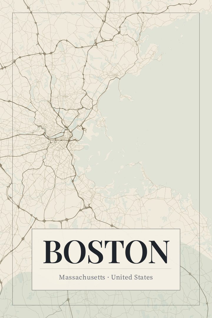
Same city, different style
Boston in every style
You might also like
Related map posters




Part of a collection