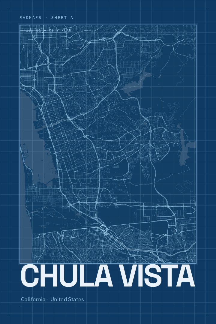
Shown at 16×24" · Archival Matte 250 gsm
Chula Vista City Map Poster
Blueprint
About this print
Chula Vista map poster
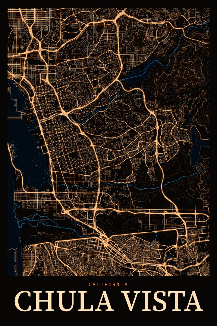
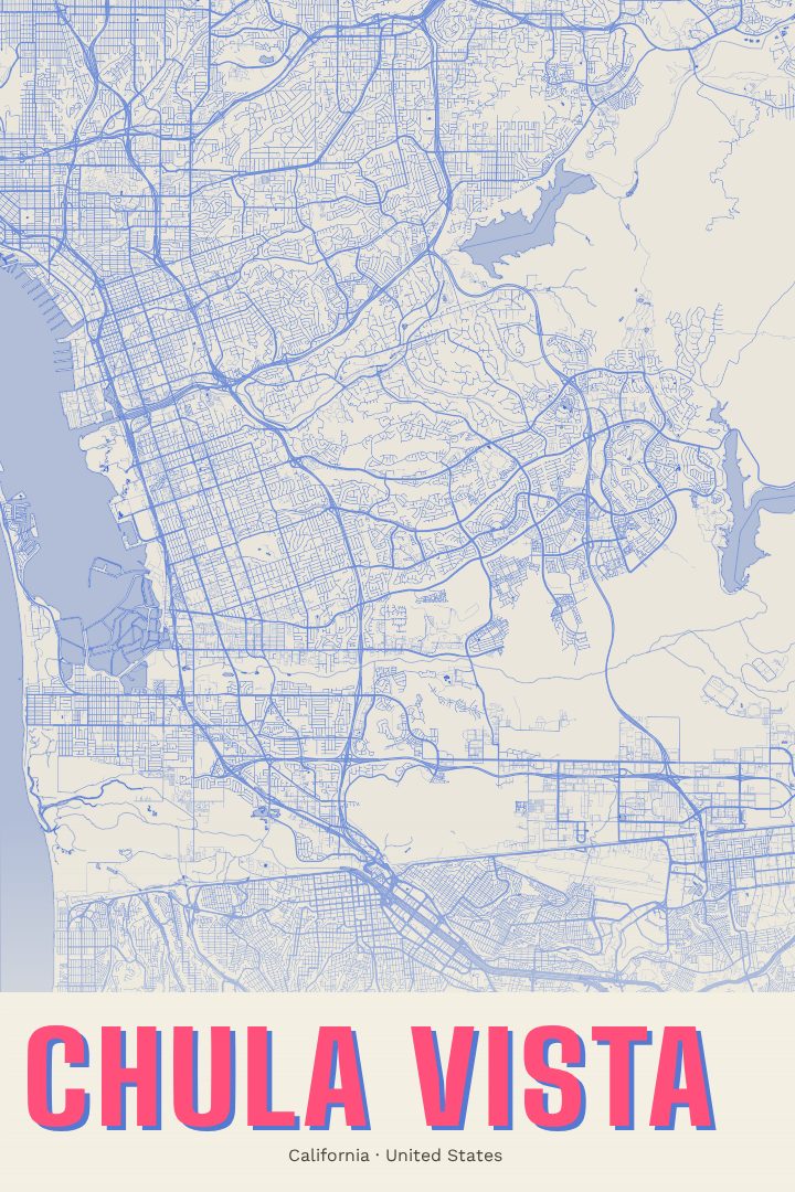
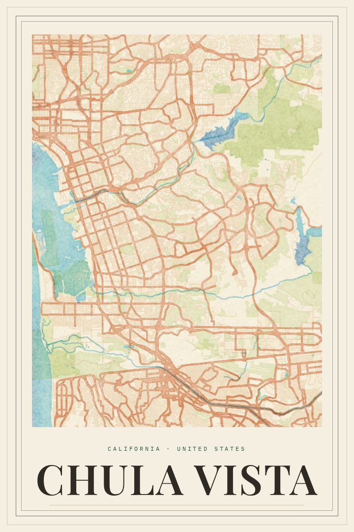
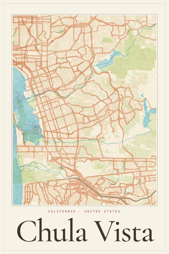
Chula Vista sits in the South Bay of San Diego County, between San Diego Bay and the hills and reservoirs to the east, with the Mexican border a short drive south. It is one of the larger cities in California, and it has grown from older neighborhoods near the bayfront into newer communities spreading toward Otay Lakes. This print captures the city's street grid as a piece of wall art, a way to keep a familiar place in view whether it is home now, was home once, or is simply a city that matters.
The Blueprint edition presents the map in a clean, technical style that suits the way Chula Vista is laid out, from its long arterial roads to the curving residential streets of its planned communities. The look is calm and graphic rather than busy, so it works in a home office, a hallway, or a living room without competing with everything else in the space. For anyone who grew up in the South Bay, settled there for work or family, or spent years driving between the bay and the eastern hills, the street pattern alone tends to bring back particular routes and corners.
It also makes a thoughtful gift for a new homeowner, a graduate heading off to college, or a friend who moved away and still talks about the place. The print is meant purely as decoration and is not intended for finding directions. Chula Vista, Blueprint is a simple, lasting way to mark a connection to a city along San Diego Bay.
Make a custom map poster of your own routeDid it yourself? Make a poster from your own Strava activity
Route details
- Location
- California, United States
- Collection
- Cityscapes
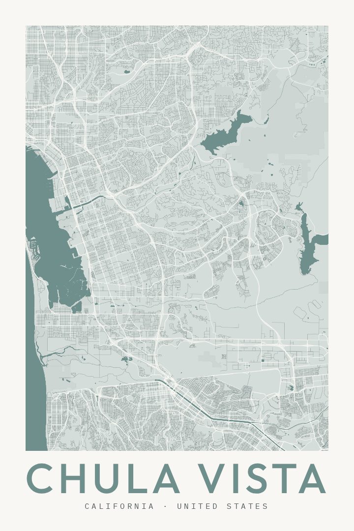
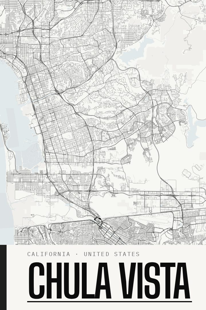
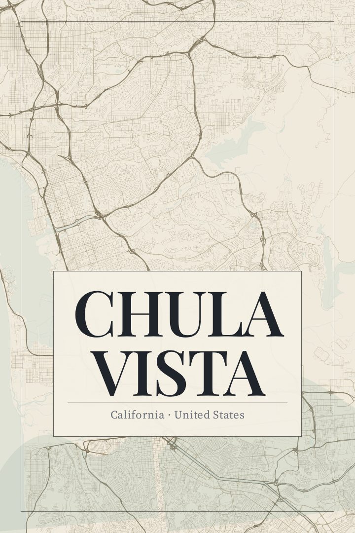
Same city, different style
Chula Vista in every style
You might also like
Related map posters




Part of a collection