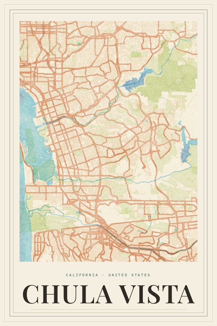
Shown at 16×24" · Archival Matte 250 gsm
Chula Vista City Map Poster
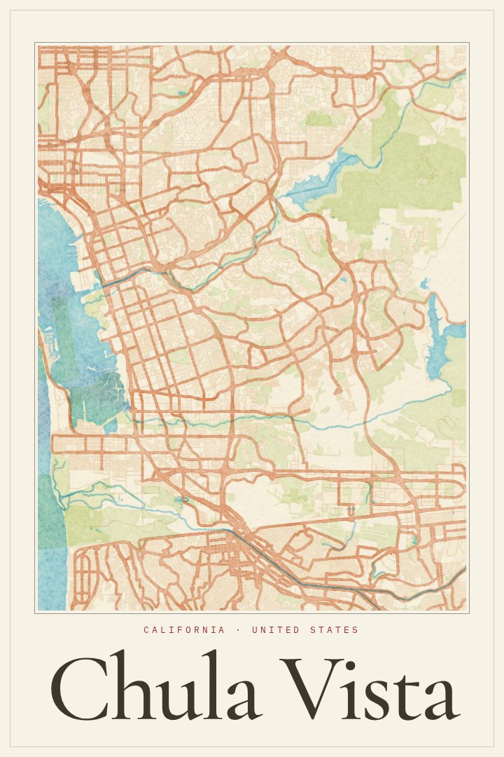
Painted Survey
About this print
Chula Vista map poster
Chula Vista sits on the southern stretch of San Diego Bay, a short drive from downtown San Diego and close to the border with Mexico. It is a city of layers: older neighborhoods near the bay, with their established blocks and familiar main streets, give way to newer communities that spread east toward the hills and open land of San Diego County. For anyone who grew up here, moved here for work or family, or still drives these roads every day, the shape of the city carries a lot of personal history in a small space.
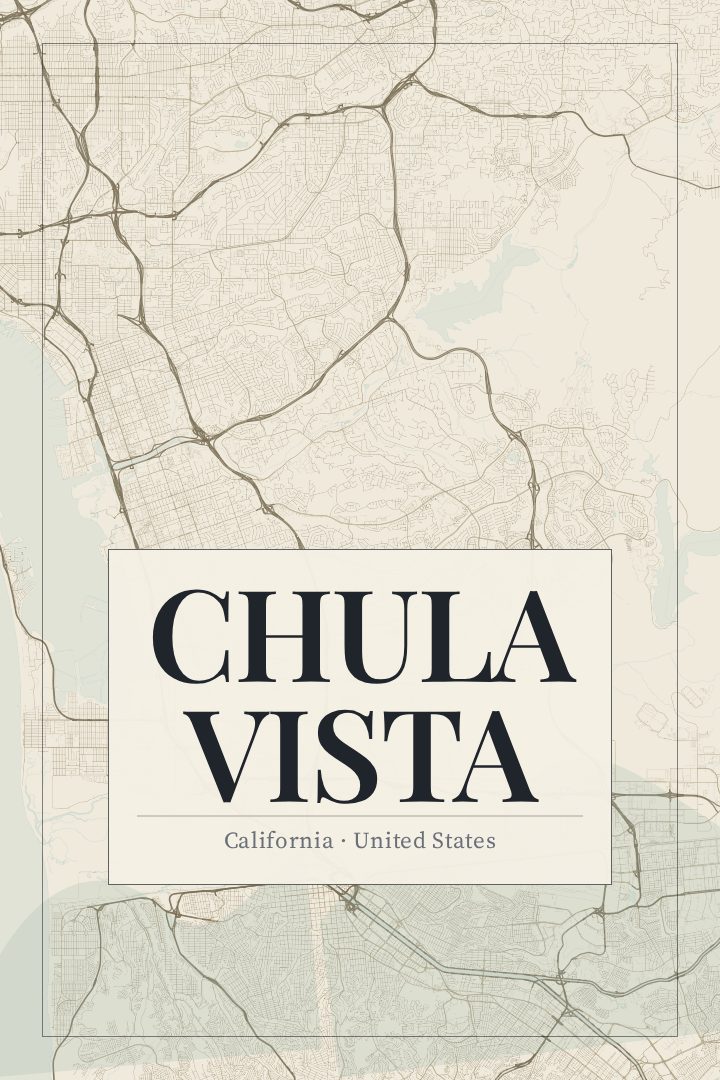
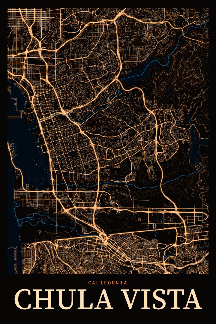
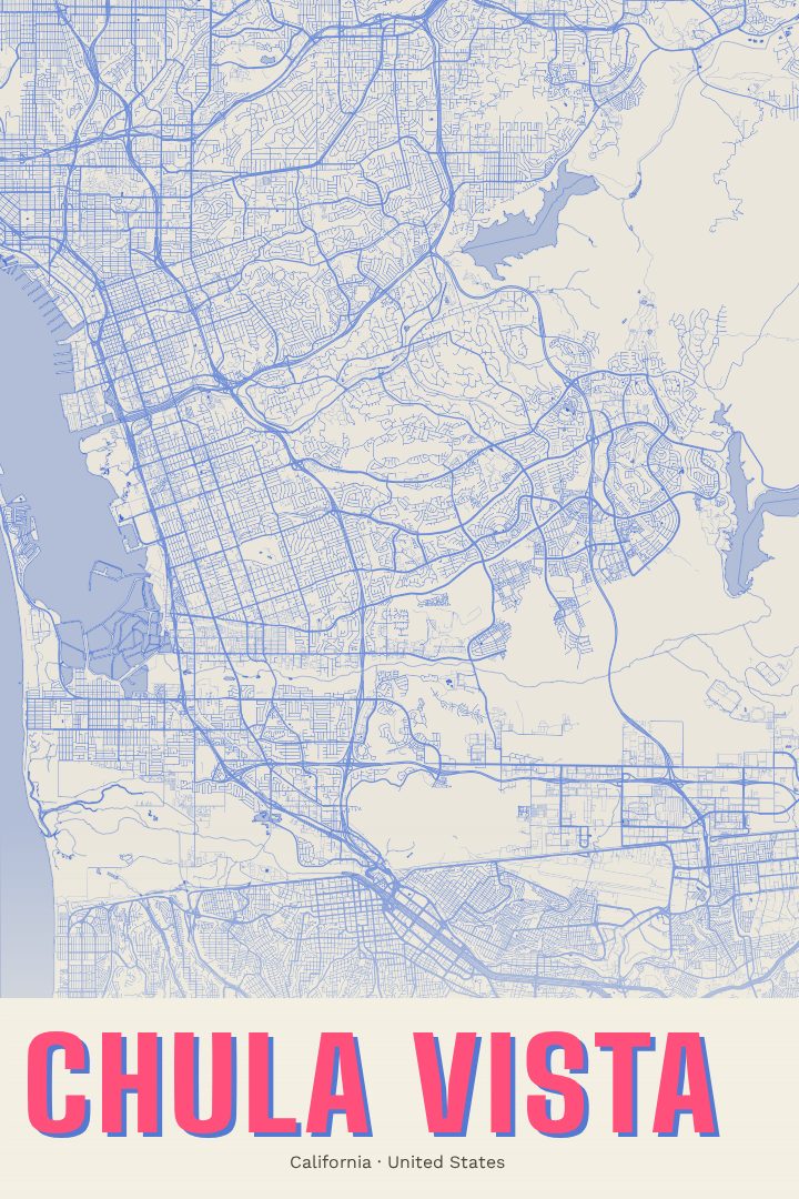
This print renders Chula Vista's street map in the Painted Survey style, a visual design with a soft, considered character that suits a city defined as much by its light and coastline as by its grid. The street network becomes something to look at closely, with the logic of the place showing through: where the city meets the water, where the roads loosen and curve as development moved inland, and how it all fits together as one community. It reads as a portrait of a hometown more than a diagram.
The poster is meant as decorative art for a wall, not a tool for getting around. It makes a thoughtful gift for a new homeowner, a graduate heading off to college, a family that has put down roots in South Bay, or someone who moved away and misses the bay breeze. It also fits easily into a collection of cityscape prints alongside other places that matter. Available options are listed on this page.
Make a custom map poster of your own routeDid it yourself? Make a poster from your own Strava activity
Route details
- Location
- California, United States
- Collection
- Cityscapes
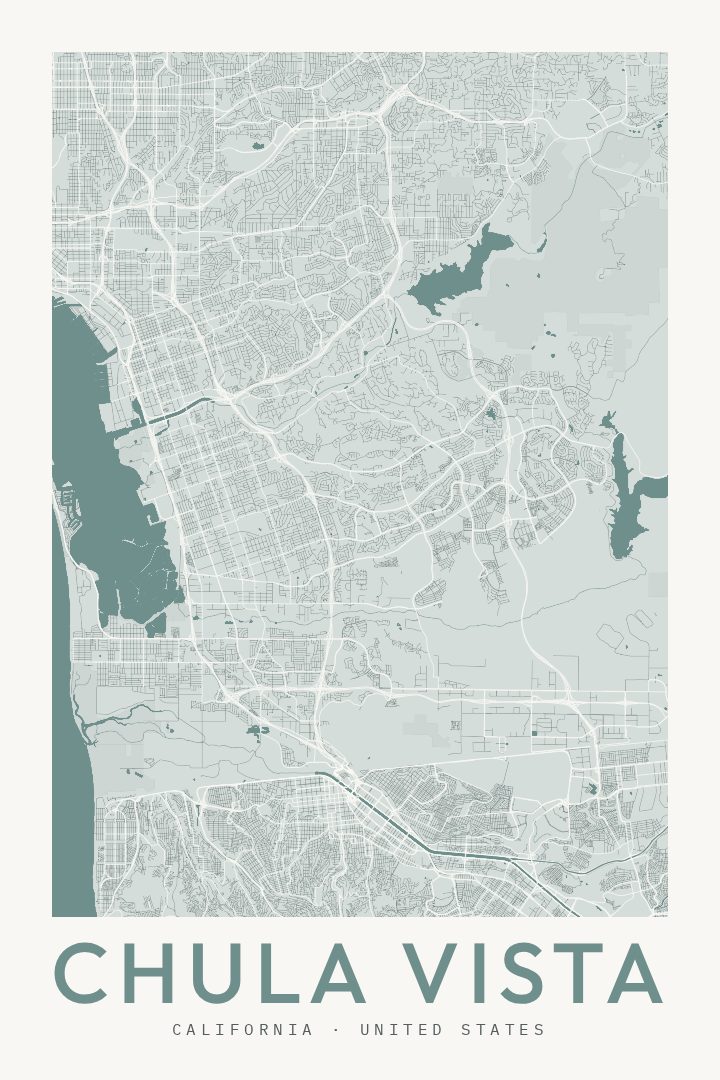
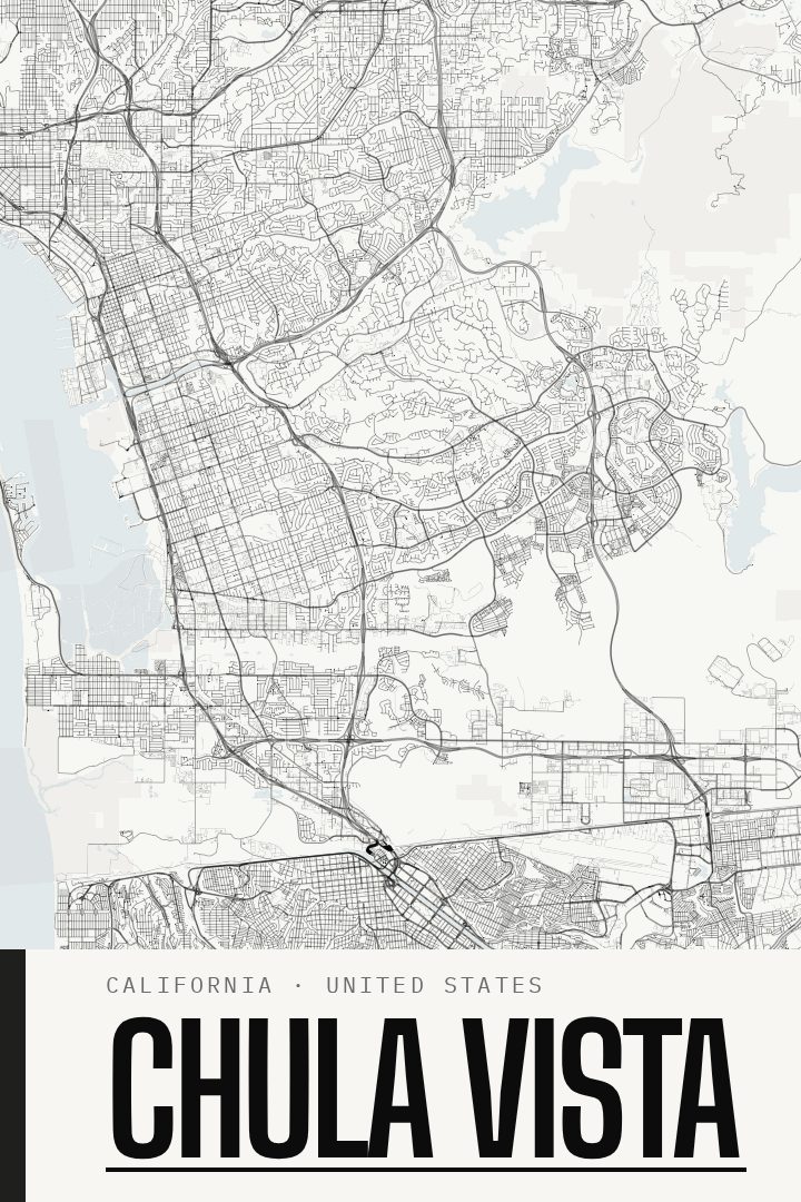
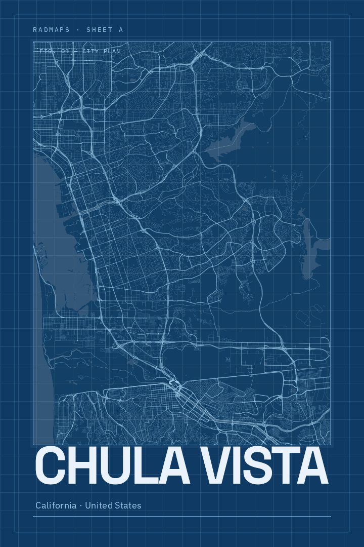
Same city, different style
Chula Vista in every style
You might also like
Related map posters




Part of a collection