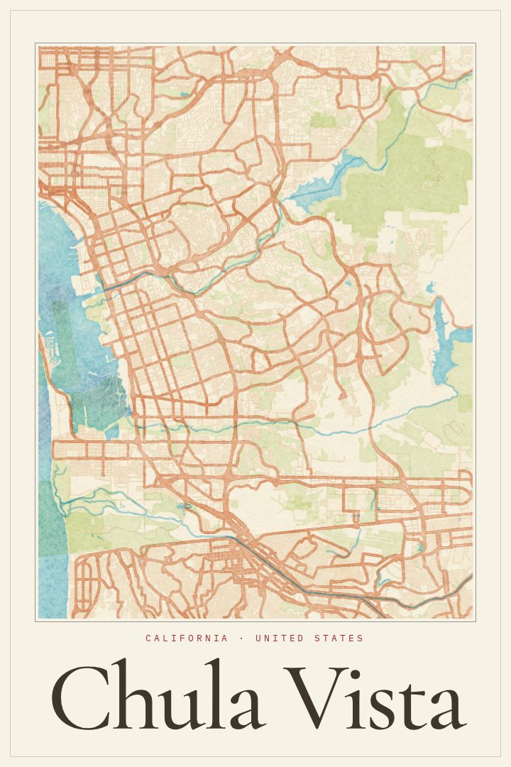
Shown at 16×24" · Archival Matte 250 gsm
Chula Vista City Map Poster
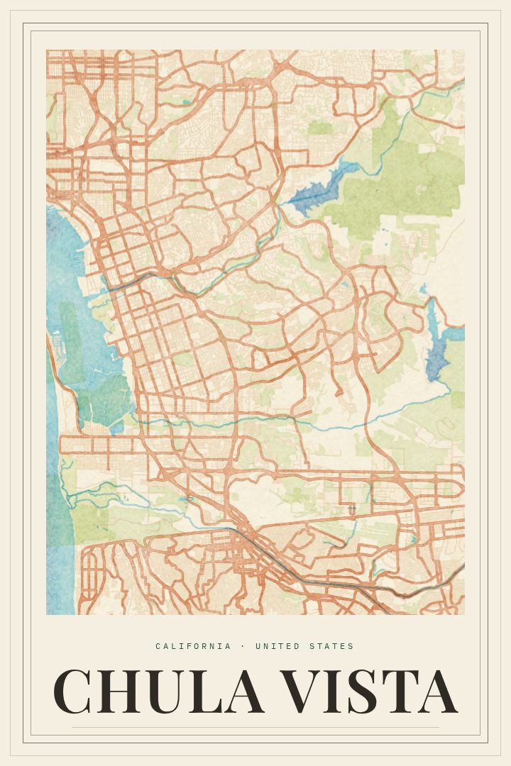
Watercolor
About this print
Chula Vista map poster
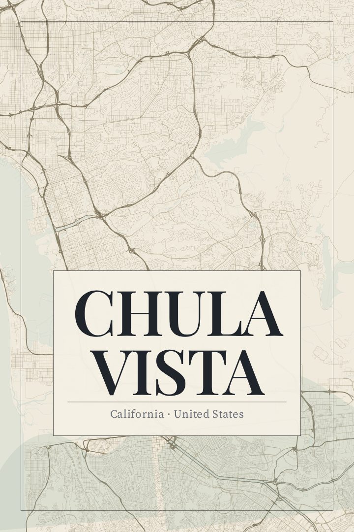
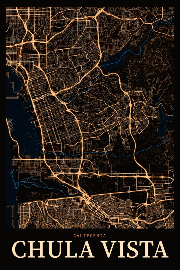
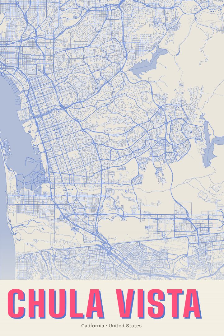
Chula Vista sits in the South Bay of San Diego County, between San Diego Bay and the hills that rise toward the east, and only a short drive from the border with Mexico. It is one of the largest cities in the San Diego region, a place where older neighborhoods near the bayfront give way to newer communities spreading inland toward Otay Lakes. For anyone who grew up here, moved here for work or family, or still thinks of it as home after leaving, a street map of the city carries a lot of personal geography: the drive to school, the route to a favorite taco shop, the way to the water on a clear evening.
This print renders Chula Vista's street grid in the Watercolor style, a design with soft, loose washes of color and a relaxed, painterly feel. The style suits a coastal Southern California city, where sunlight and open sky shape so much of daily life. It reads as a piece of art first, and the map underneath gives it meaning for people who know the place.
It works well in a living room, a hallway, or a home office, and it makes a thoughtful gift for someone marking a move, a first home, or a lasting connection to the South Bay. Like every RadMaps poster, it is meant for the wall rather than for finding the way around town. The available options are listed on this page.
Make a custom map poster of your own routeDid it yourself? Make a poster from your own Strava activity
Route details
- Location
- California, United States
- Collection
- Cityscapes
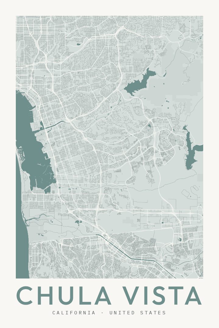
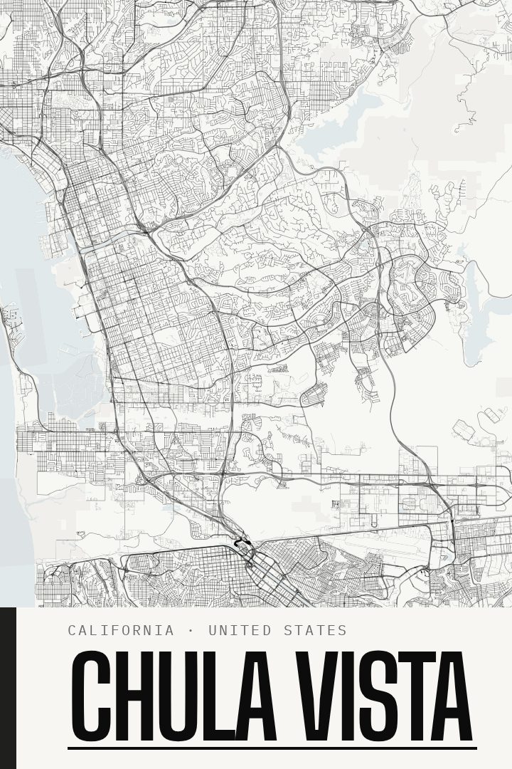
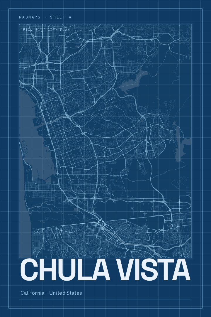
Same city, different style
Chula Vista in every style
You might also like
Related map posters




Part of a collection